Tuesday, October 21, 2014

Guardsman Pass to Bloods Lake


Last week we drove up to Silver Lake, and hiked up to Lake Solitude, while on the trail I looked out and saw the road to Guardsman Pass it had some great fall color and I really wanted to check it out. We didn’t because of the snow. While researching it, I discovered Bloods Lake and decided to add that to the adventure. Bloods Lake is a short 1 mile out and back hike to a high elevation lake and sounded pretty interesting. Today was an exceptionally beautiful day, so I decided we should go check it out finally.

To get here, drive up Big Cottonwood Canyon, past Solitude, but before Brighton there is a marked turnoff to the left. If you miss it, don’t worry, Brighton is a loop road, and you will be back again before you know it, with a right turn this time. I did notice last week that it is not signed from this direction. About 3 miles up from the turnoff is the actual pass, which has the parking lot for the trailhead.

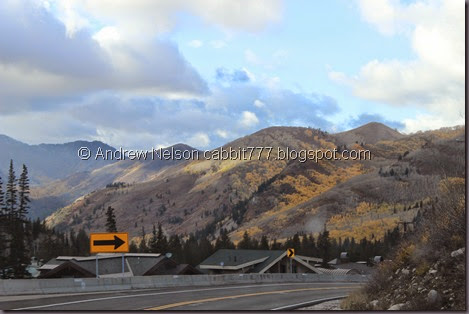
IMG_0447

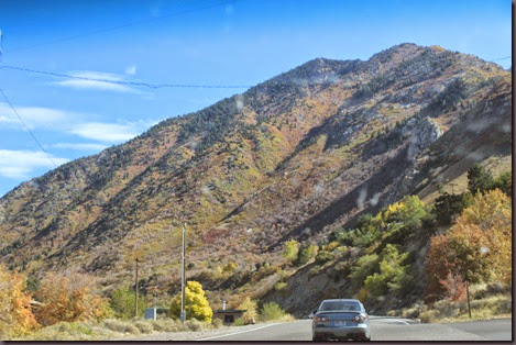
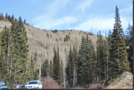
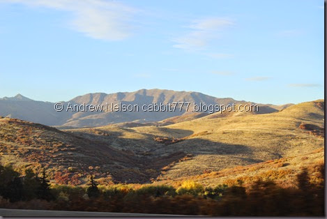
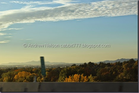
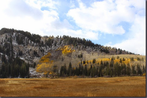
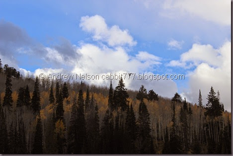
The mountains still as colorful as ever. (Drive By Photo). We are certainly enjoying an extended fall this year.

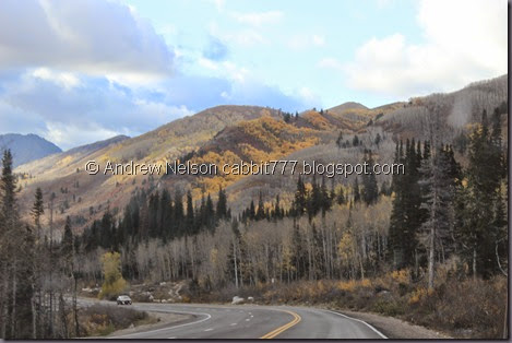
IMG_0449

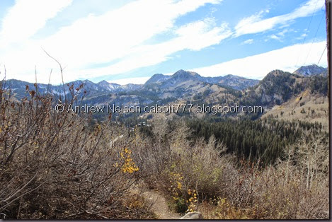
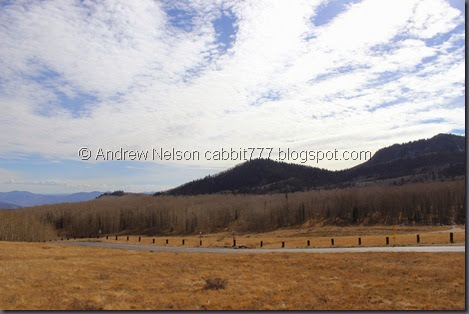
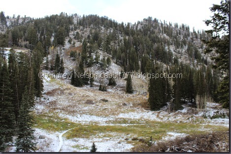
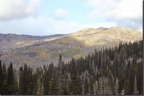
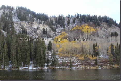
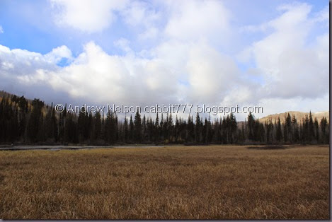
Not far after the turnoff, there is a pullout next to the seasonal closure gates. Here is the view from it.

IMG_0451

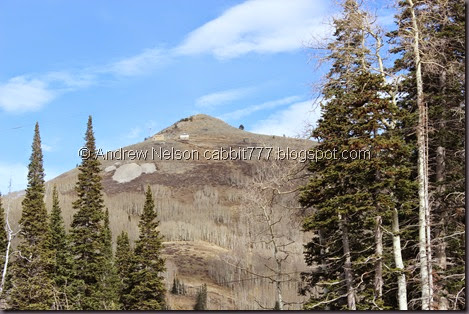
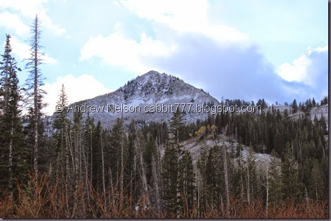
And the accidental Mickey Mouse above.

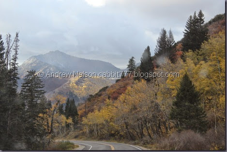
IMG_0452

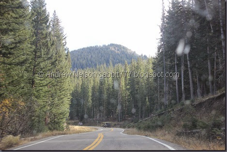
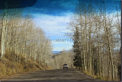
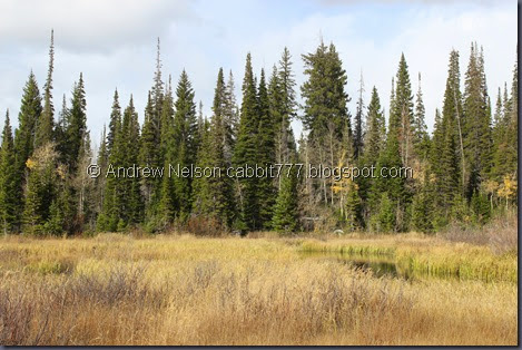
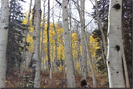
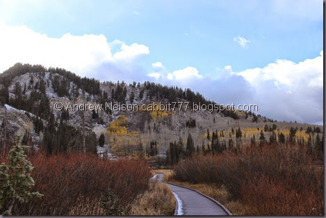
Back to the drive. Lovely through the pines. (DBP)

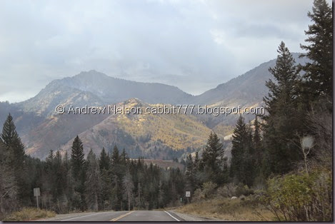
IMG_0453

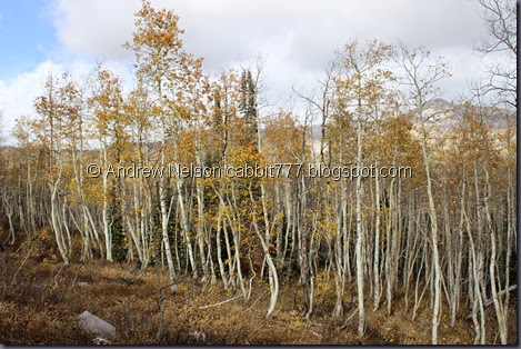
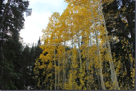
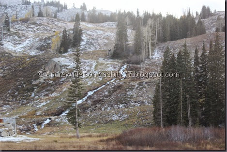
Unfortunately, it appears the aspens are all done for the season up here. :( (DBP) I really am just not having the best luck this year. However, I am still enjoying this drive.

IMG_0455

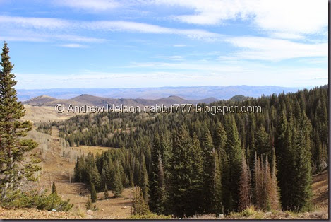
And the view from Guardsman Pass. WOW! Guardsman Pass is 9700 feet above sea level. To put that in perspective, Salt Lake City is about 4330 ft. and Brighton Ski Resort is 8755. So you know, you climb about a thousand feet to this pass in 3 miles from the top of Big Cottonwood Canyon.

After struggling to find a place to park in the very small and crowded parking lot, we were ready to explore. We found the trailhead, or at least what we believed to be the trailhead, because the sign had long ago faded away. Either way, it seemed to be right so a hiking we went.

Now, just a word of warning, because the trail starts at the pass, this is one of those backwards trails. Meaning you start at the top going downhill, and have to return uphill. These kinds of trails can be tricky because you don’t know how difficult it will be coming back. This trail is short enough that it probably isn’t a problem though.

IMG_0457

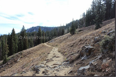
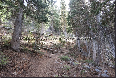
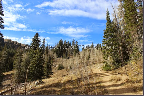
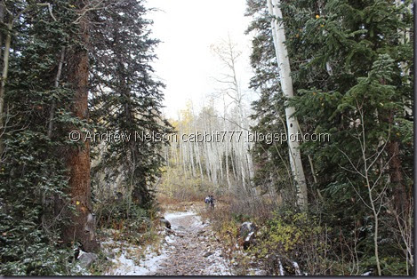
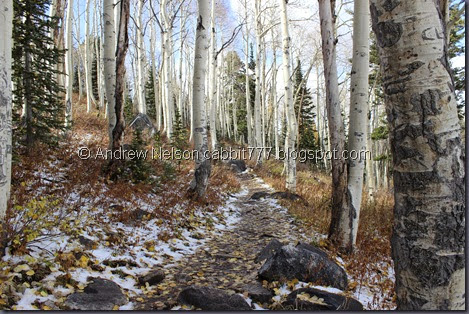
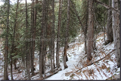
For the most part, the trail was pretty easy.

IMG_0458

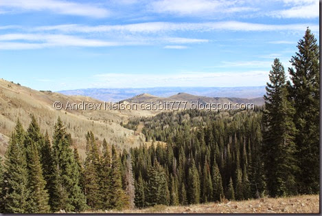
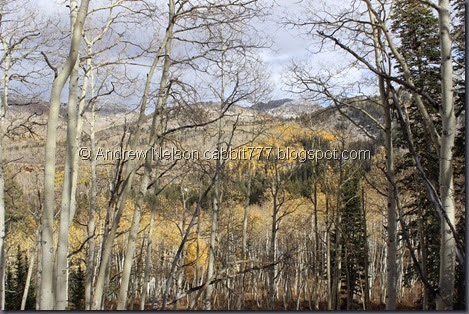
Another extraordinary view.

IMG_0464

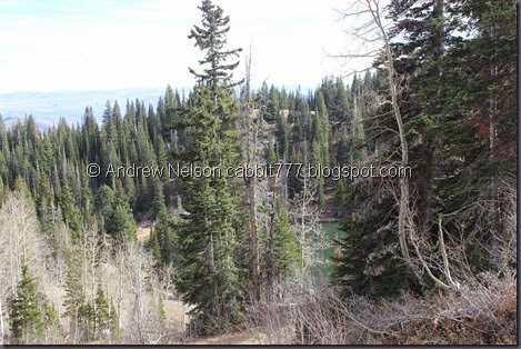
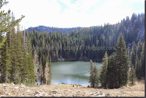
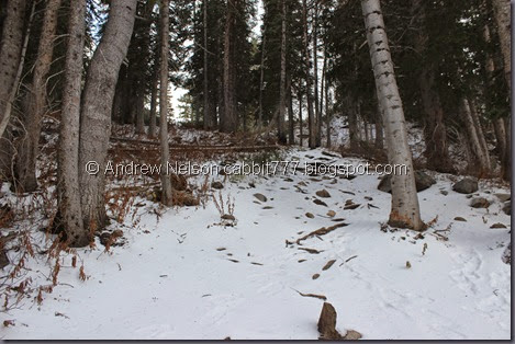
First glimpse of the lake. From here, the previously easy trail starts down pretty steeply. It’s not too bad, but it is definitely steep.

IMG_0468

After scrambling down the side of the hill, the trail splits so you can go around either direction. We opted to go right, as there were some people to the left.

IMG_0472

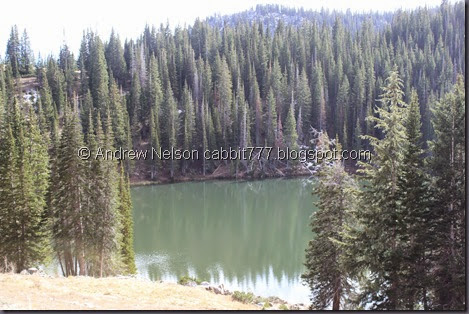
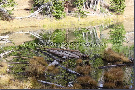
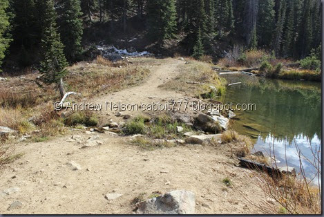
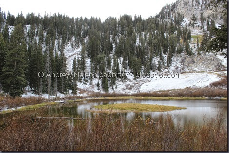
Clear enough to see the large log.

IMG_0476

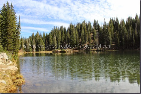
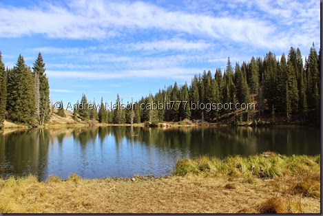
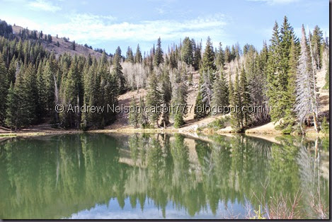
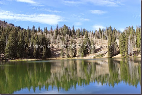
I love the way the one turned out, with some great blue skies.

Bloods Lake 2

Quick panoramic.

IMG_0485

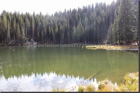
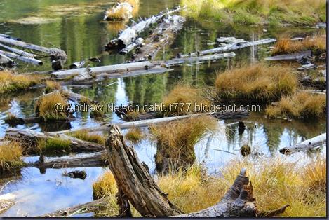
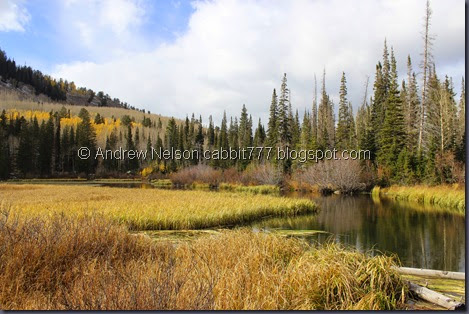
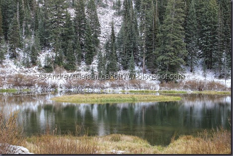
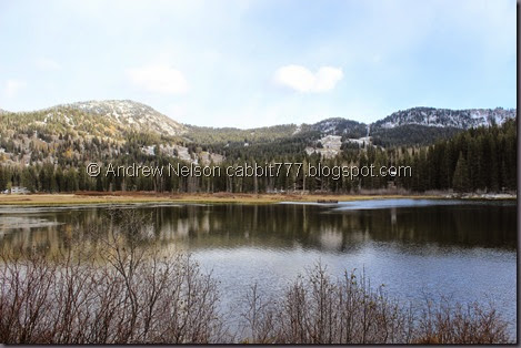
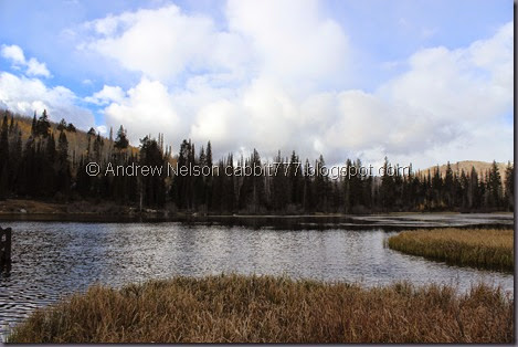
Reflections in a swampy section.

IMG_0487

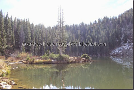
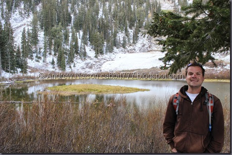
From the small peninsula on the western shore.

Bloods Lake 3

Another panoramic.

IMG_0496

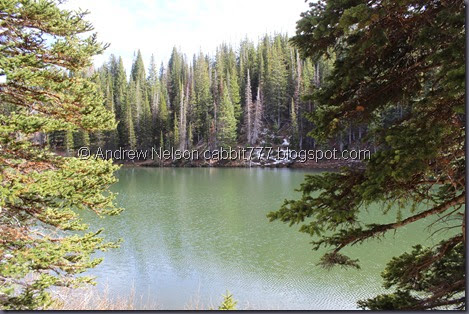
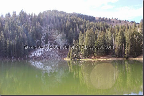
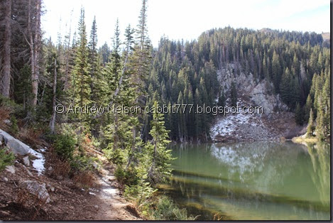
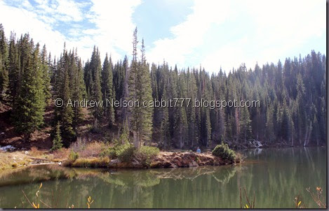
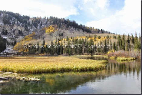
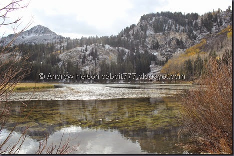
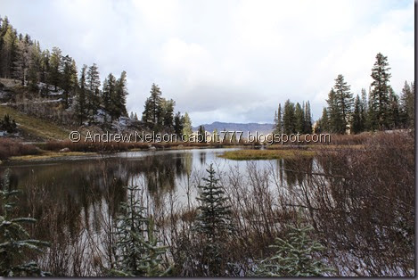
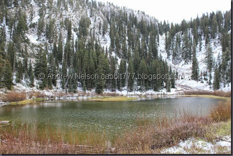
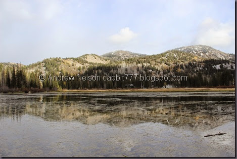
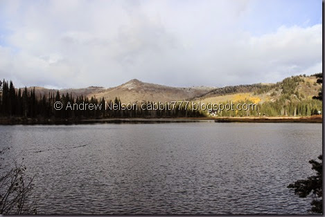
I love the color of this lake.

Not far beyond this there is a land slide cutting off the trail. So we backtracked to get around the other side.

IMG_0498

Someone made a little raft!

IMG_0503

Here is the small outlet.

IMG_0504

What I thought was another small peninsula turned out to be an island.

IMG_0507

Even though it is an island, you can still get onto it. Here is the view from it.

IMG_0512

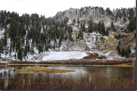
And the peak above the lake. Here you can see the landslide that stopped us from getting around

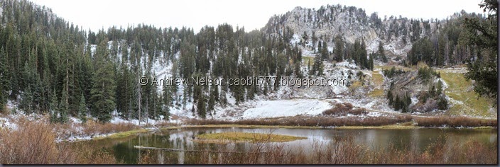
Bloods Lake 4

And a panoramic. 

IMG_0520

Continuing around the lake, the trail is quite a bit more thin.

IMG_0521

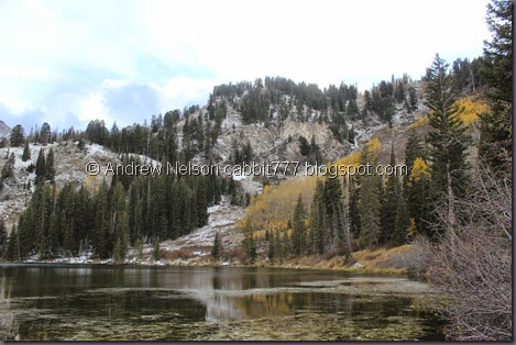
Looking back across the lake. You can just make out the trail down.

Before long this little trail kind of fizzled out so we turned around again.

IMG_0524

There is a steep side trail going up the hill. Not sure where it heads. Probably the peak.

IMG_0528

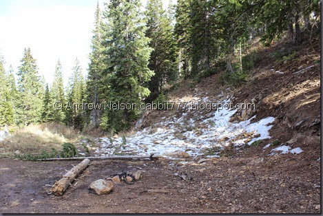
Little camp site. And some snow left over from last weekends snow storm we were lucky enough to experience first hand.

Copy of IMG_0529

Better shot of the little island.

IMG_0530

Heading back out of this little bowl.

IMG_0541

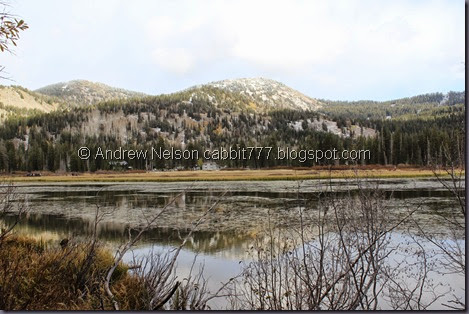
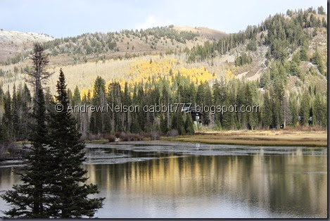
A last parting shot of the lake.

IMG_0542

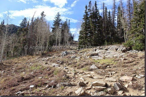
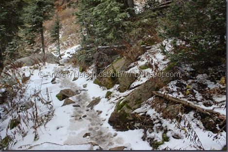
And now we just have to climb up this. Actually, it was easier, footing wise, to get up than down. Not so easy on the lungs though.

IMG_0551

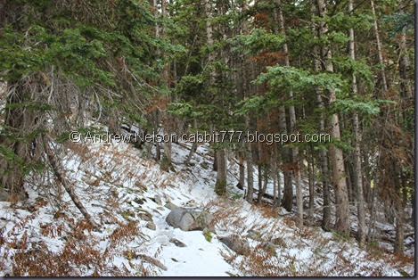
Dry stream bed, or snowmelt trail maybe.

IMG_0552

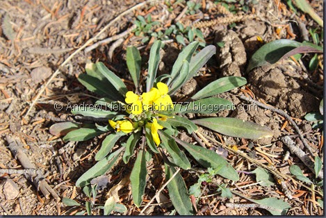
The only flower I saw on the trail. Probably the last one of the season.

IMG_0557

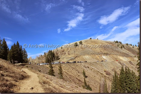
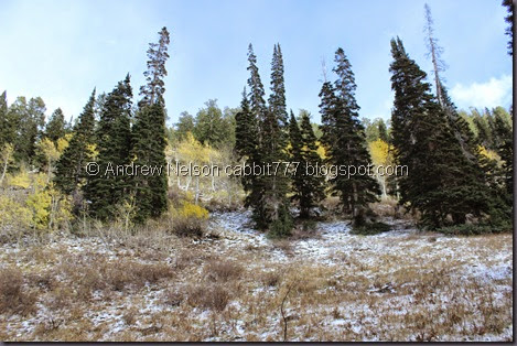
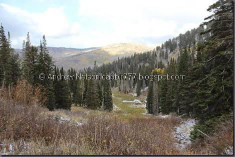
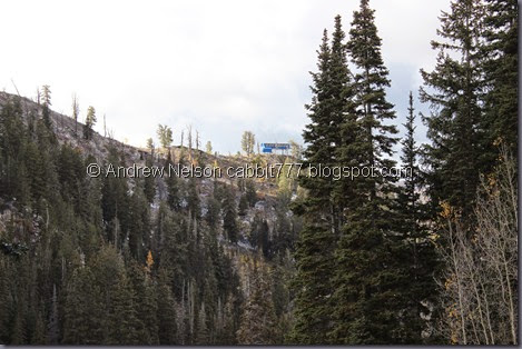
Looking towards the peak, and the crowded parking lot. You emerge from Big Cottonwood Canyon between those 2 groups of pines the actual pass (the highest point of the road) appears to be just to the right.

Guardsman Pass

Panoramic from Guardsman Pass looking into the Heber Valley.

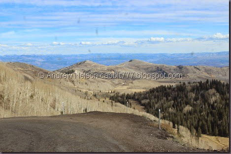
This shot kind of shows the road going down the other side. It doesn’t look too bad.

Well that was a great little hike with a beautiful lake! It is pretty popular, but we got lucky and had the lake to our selves for most of our visit. Now we are going to finish our fall drive into Park City.

IMG_0564

View from one of the curves. (DBP)

IMG_0568

Another section of the road (DBP). I wish we hadn’t missed the color. We will have to try earlier next year.

IMG_0569

Hills and clouds. (DBP)

Not far down from the pass the road splits. Left will take you to Park City, right will take you towards Midway and Heber (there is a small sign pointing towards Park City). We went Left.

IMG_0571

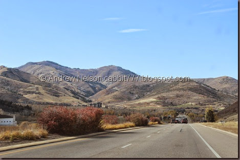
Somewhere beyond Empire Pass (from what I can tell, but not verified: 8936 ft.) heading into Park City. So the whole loop (at least this direction) is completely paved. (DBP)

IMG_0573

Passing through Park City.

IMG_6879

A nice valley shot down Parleys Canyon (DBP). Oh, Parleys Summit is 7120 ft. So Guardsman is quite a bit higher.

IMG_6881

Familiar ground. Back in the Salt Lake Valley. (DBP)

The hike: The hike out to Bloods Lake was awesome. Absolutely beautiful even this late in the year. I had never even heard of it before a few days ago as I was researching the drive, but it is a popular little trail. At about a mile out and back (plus whatever you decide to do around the lake) it is definitely one of the prettier high elevation lakes we have done. I want to remove a squirrel for the lake of signage and the crowds, but it really was a terrific trail 10 out 10. It was mostly easy, with a short steep section towards the lake. Going with a DR3 for difficulty.

squirrels 10

The fall drive: Unfortunately, we did this one too late in the year and missed all of the color. I can tell from all the naked aspens, that it is probably spectacular earlier in the year. Not going to rate it just yet just for that reason. I will say, as far as small mountain roads go, it wasn’t too bad. It is only a little scary right up near the pass on either direction, but we have definitely driven scarier routes. *cough*, Crater Lake, *cough*. And it is paved all the way.

Dogs: Dogs are welcome at Bloods Lake, but are not allowed in Big Cottonwood Canyon. So if you come from the Park City end, then turn around and leave that way, your furry friend is welcome.

Copy of Copy of dogsyes

Wednesday, October 15, 2014

Silver Lake to Lake Solitude – Fall


Silver lake is a beautiful, popular, family friendly hike around a stunning lake near the top of Big Cottonwood Canyon. I really love it up there but also wanted to get more of a real hike in as well. We have done the trail to Twin Lakes Reservoir before, so this time I decided we would add Lake Solitude to the days adventure.

IMG_0175

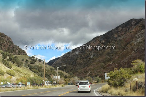
As we entered the canyon, I started to wonder if maybe this was not the best day to do this with those dark clouds. But it looks like there are blue skies beyond so we continued. (Drive By Photo).

IMG_0180

Okay, I knew this was high elevation, but I didn’t quite expect to encounter snow just yet. Looking back, I guess I am not surprised, it is mid October, but still!

IMG_0181

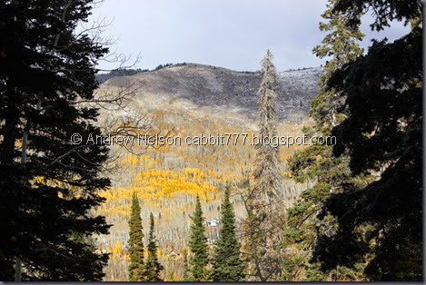
Some great color on the mountains above though!

IMG_0184

I love the meadow and streams around Silver Lake. For some reason I usually go around clockwise, today we decided to go counter clockwise.

IMG_0186

IMG_0189

Just beautiful.

IMG_0188

Nice clear water.

IMG_0191

Starting to get a proper view of the lake.

IMG_0194

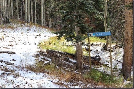
A little less than halfway around the lake a trail goes back into the woods behind the lake. This is the way to Twin Lakes (1.5 ish miles), or Lake Solitude (2 miles). There used to be a sign, but either it has been removed for the season, or completely. I know it was there, because that is how we decided between the 2 hikes last time, we went for the shorter trail. Anyway, about 50 feet back is the first trail split. Go right for Lake Solitude and Left for twin lakes.

IMG_0195

IMG_0198

IMG_0200

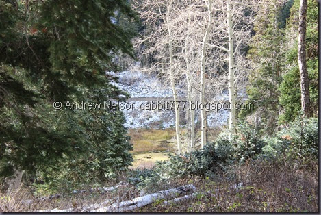
Darn, not much left to the aspens. I bet even yesterday, before this storm, it was fantastic up here. Oh well, it’s still going to be a nice hike.

IMG_0201

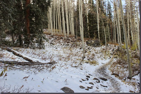
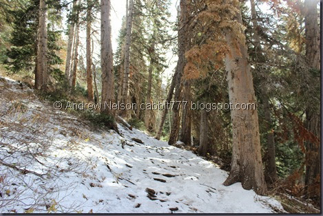
Well, so far the snow isn’t too much of a hindrance. Also, there were a lot more trail splits with no signage. I kept choosing the trail that seemed to be higher ground and continued in the general west direction. I don’t know if that was necessarily the best route, but it did get us to the lake.

IMG_0203

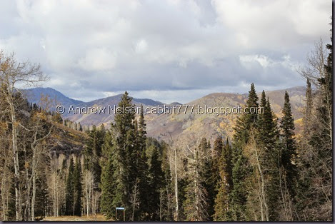
The other side of the canyon looks stunning.

IMG_0206

Okay, starting to really get up into the snow. I wasn’t anticipating a winter hike, but heck I’ll take it. Not much later in the season, and I imagine the snow will be much too deep to traverse.

IMG_0213

Another view across the canyon.

IMG_0217

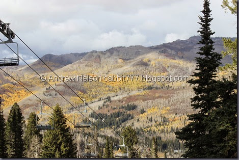
And with a ski lift. Seem to getting above Solitude now.

IMG_0220

And a clearing.

IMG_0227

After the clearing the trail curves around the mountain heading somewhat south and gets a little more snowy.

IMG_0230

View of the valley below. I thought that might have been the lake we were heading towards, but I guess it is just a swampy area.

IMG_0231

… Okay so where is the Doo-Dah run?

IMG_0234

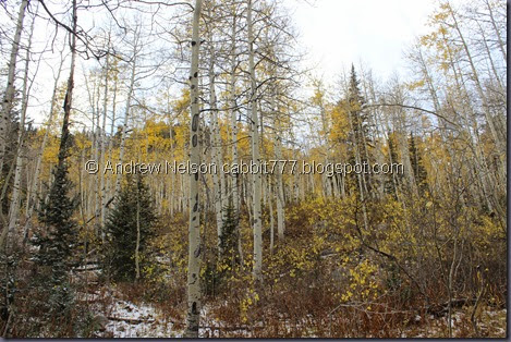
Pretty mix of trees.

IMG_0239

I really was hoping to get some good fall colors on today's adventure, I got some but meh. I don’t seem to be having the best luck this year.

IMG_0241

Nice valley view below.

IMG_0242

Snow covered trees.

IMG_0243

Snowy forest.

IMG_0247

And then we had this snowy steep section to climb. It was a bit slippery, but wasn’t too bad. Wish I had brought along my hiking stick though.

Because I wasn’t 100% sure we were going the right way, and the steepness and snow was starting to make this tough, I decided that if the lake wasn’t at the top of this ridge I was going to call it a day.

IMG_0249

Luckily, it was. I am glad we made it to the lake. It is pretty.

IMG_0254

With the peaks above.

Lake Solitude2

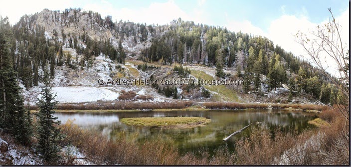
Quick panoramic.

Copy of IMG_0261

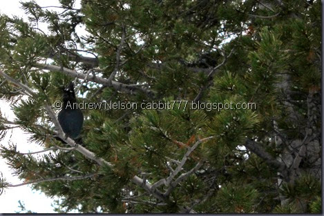
Steller’s Jay

IMG_0264

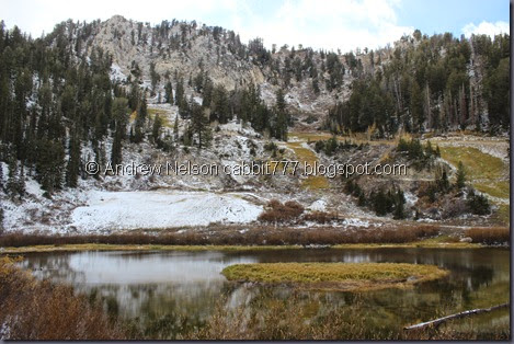
Oh hey, I have some sky in this one. I love the little island in this lake.

IMG_0268

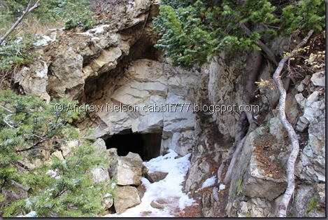
We found a little mine nearby.

Lake Solitude3

Another panoramic.

IMG_0285

And a look down towards the valley below.

IMG_0305

And from the other side. It is a small enough lake that it doesn’t take very much time to walk around.

IMG_0309

And from the valley end.

IMG_0312

Looking down the valley below.

IMG_0313

And my least obscured view of the other side of Big Cottonwood Canyon.

IMG_0316

And back to about where we first saw the lake to get a picture with it. It was a lovely lake to hike around and we had it mostly to ourselves. Although, that could be due to the snow. None last 3 or 4 pictures above captured the fact that we are currently being snowed upon! So, with that said, we decided to head back down.

IMG_0323

And back down the steep slope. It was a little more dodgy on the way down, but again we made it without incident.

IMG_0324

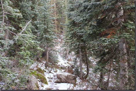
Snowwy trail with mossy rocks.

IMG_0327

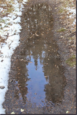
Reflections in a puddle. Where there wasn’t snow, there was mud.

IMG_0332

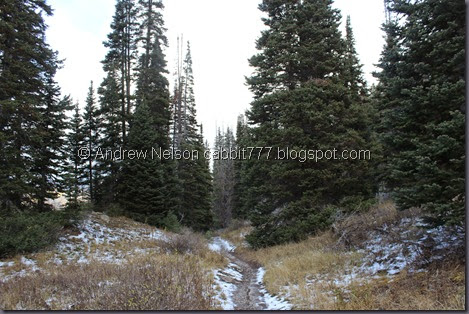
Hiking through the trees.

IMG_0334

Structure at the top of that ridge. Probably another ski lift.

IMG_0338

IMG_0340

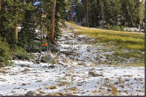
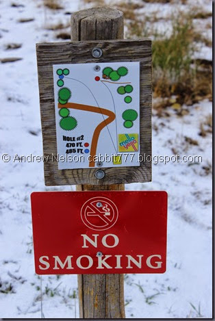
Back to the clearing. Oh! It is a frolf (Frisbee golf) course. Not really into sports, but I am interested in checking this one out some time.
IMG_0347

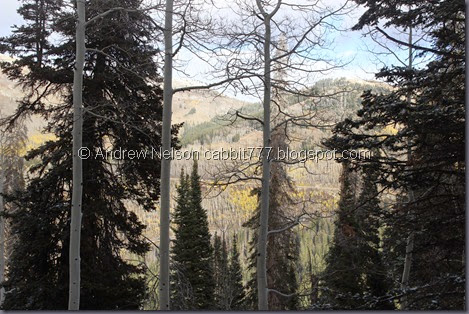
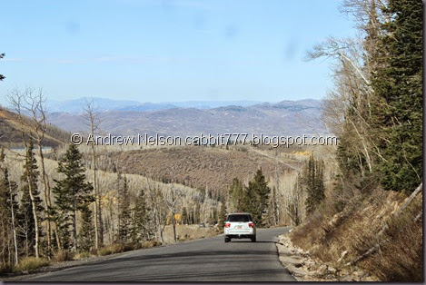
Another look across the valley. You can just make out the road going up to Guardsman Pass. I thought about checking that out today, but with the snow decided I would try it another time. Probably going to have to wait until next year.

IMG_0354

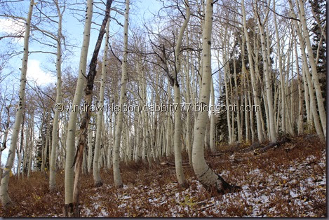
More nekkid aspens.

IMG_0356

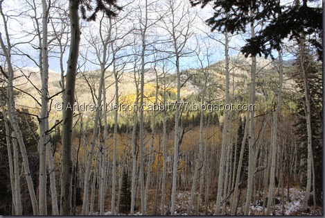
Nekkid aspens with some color behind them.

IMG_0364

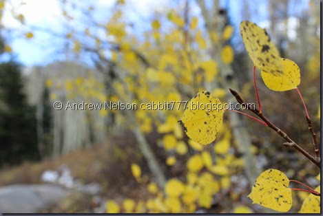
Some remaining leaves to focus in on.

IMG_0366

Trampled leaves.

IMG_0367

Snow tipped trees.

IMG_0368

And we’re back to Silver Lake.

That was an amazing hike away from the crowds. I do love Silver Lake so we will continue making our way around it counter clockwise.

IMG_0371

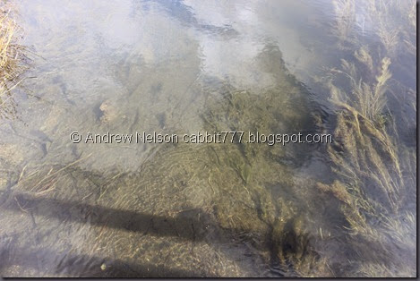
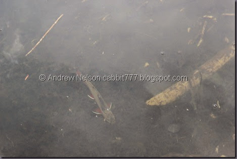
Not too far down was another dock that allowed us a view into the water. Which is clear enough to see the pretty trout swimming around.

IMG_0373

IMG_0377

And offers a great view.

IMG_0379

Less debris in the lake here. I don’t recall this lake being particularly gross, but I guess this year it is.

IMG_0386

View of the bright spot across the valley.

IMG_0391

Nice view of the lake again.

IMG_0394

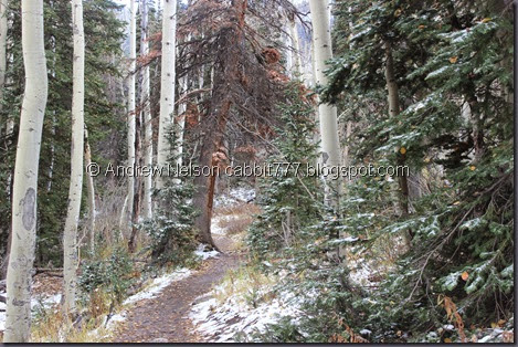
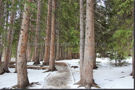
Snowy path through the trees.

IMG_0395

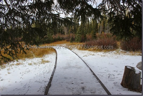
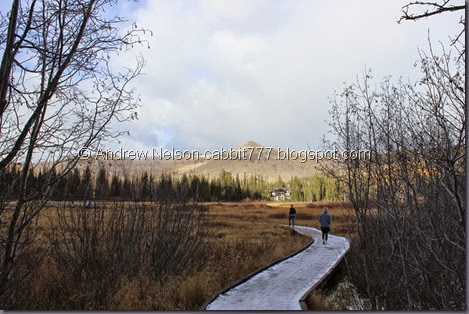
Snow covered boardwalk.

IMG_0396

The inlet.

IMG_0402

Color plus a random bird.

IMG_0403

Color and snow.

IMG_0404

Another pretty view.

IMG_0407

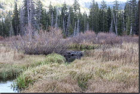
Beaver dam.

IMG_0410

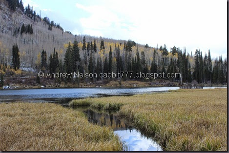
View of the wetlands. Last time we were here we saw a moose come this way.

IMG_0411

Peak above.

IMG_0412

Boardwalk and colors.

Well Silver Lake, although popular and crowded is very beautiful.

IMG_0415

Lazy waterfall near Brighton. (DBP)
IMG_0417

IMG_0419

IMG_0421

IMG_0422

Colors on the hillsides coming down the canyon. (DBP)

Well, I was hoping for a fantastic fall hike, and ended up with a winter hike! It was still a great hike and I am happy we came out to see it.

Silver Lake: Gorgeous as always, in every season and a nice stroll around a pretty lake. It is quite popular so it is really crowded. 8 out of 10 squirrels. and a difficulty rating of DR2. It is mostly boardwalked, and the parts that are not are wide, flat, hard packed trails.

squirrels 8

Lake Solitude: A fantastic easy 2 mile hike (this is in addition to the time it take to get to the trail head from Silver Lake). A great small lake in a beautiful valley with great views surrounding it. Considerably less crowded than Silver Lake, only ran into a few small groups. The snow was a surprise, but wasn’t a deal breaker. Even though it was longer hike than Twin Lakes, I think it was easier (it has been a few years though). 9 out 10 squirrels. Going with a DR3 for this trail. It was mostly a gradual slope, with one short push of a steep incline towards the end.

squirrels 9

Both trails are in watershed so dogs are not welcome.

Copy of Copy of dogsno