Ensign Peak is a great, short little trail right out of the heart of downtown Salt Lake City. It is a short peak at only 5414 feet, (SLC is 4226 feet in elevation) but it offers some really tremendous views of the city and surrounding valleys. Only 4/10 of a mile it is a really quick escape, and a short option to scratch a peak off of your list, but it is definitely uphill!
To get here find your way to the capital building downtown. Take the street east of the capital (E. Capital BLVD.) north for half a mile (from the intersection with the rd behind the capital). Turn left on Edgecomb Dr. Continue it for .3 miles until the road becomes Ensign Vista Dr. Another .2 miles you will find yourself between a Mormon Church and the Trailhead. Park on the road and hike north. Or, put the following coordinates into google maps and let your phone do the work: (Lat:40.79185 Lon:-111.88825)
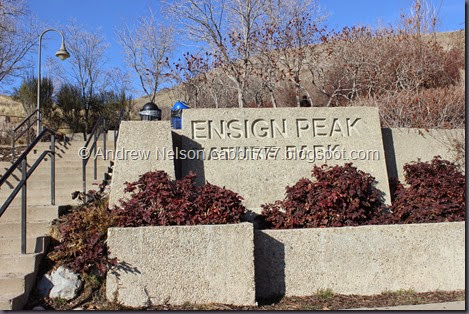
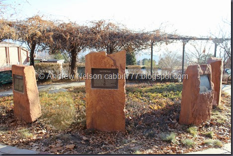
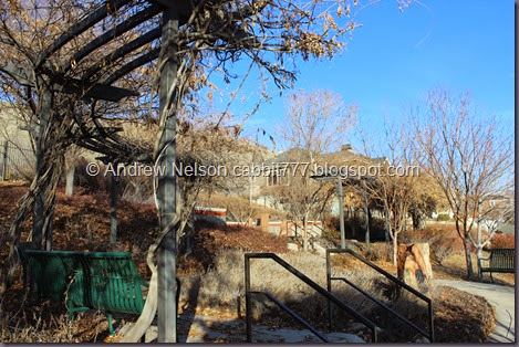
The trailhead is actually a nice little nature park with a lot of informative signs.
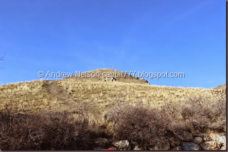
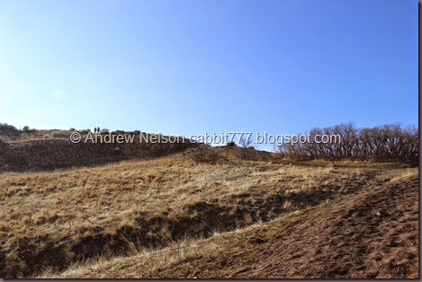
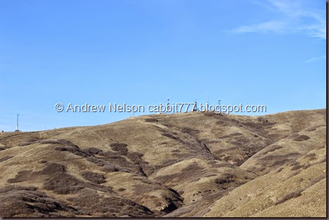
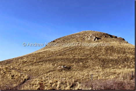
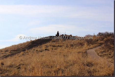
And there is the peak we are heading towards.
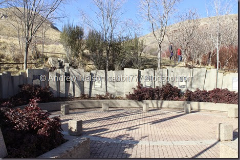
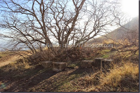
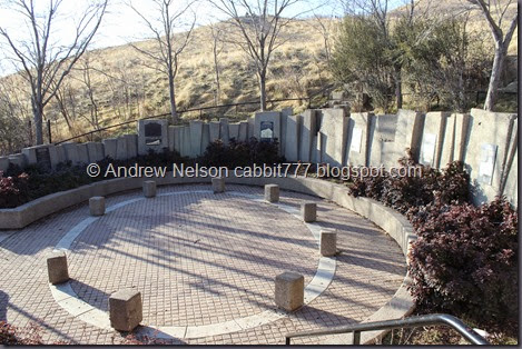
First little alcove.
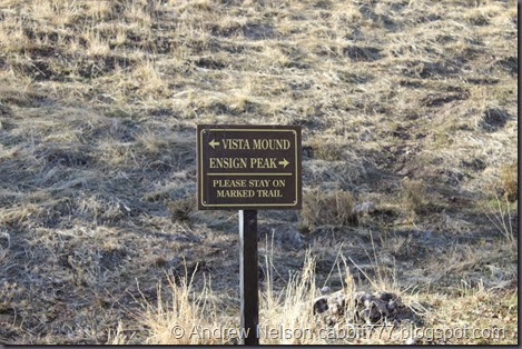
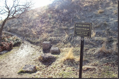
Not far beyond this you have the option to go to the Vista Mound (which we will hit on the way down) or the peak. Vista Mound is paved the entire way, well, the lower trail. You can hit this on the way up or down, as the trails connect down here, and a little way above, so it really isn’t out of the way.
Where the pavement ends.
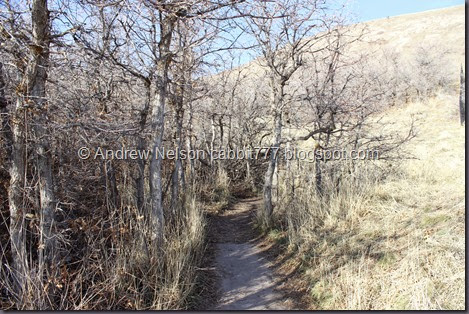
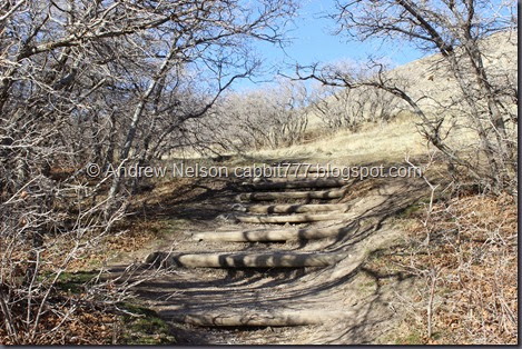
There are quite a few areas with these erosion preventing logs.
See, the trail connects again.
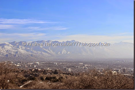
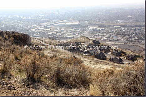
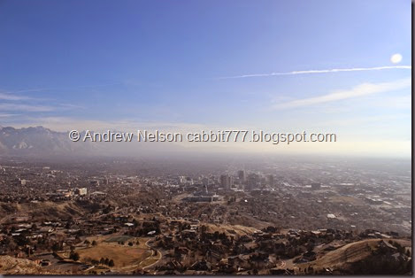
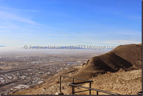
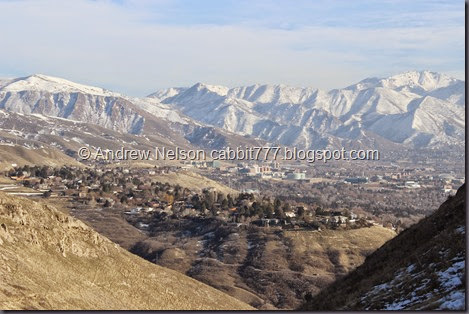
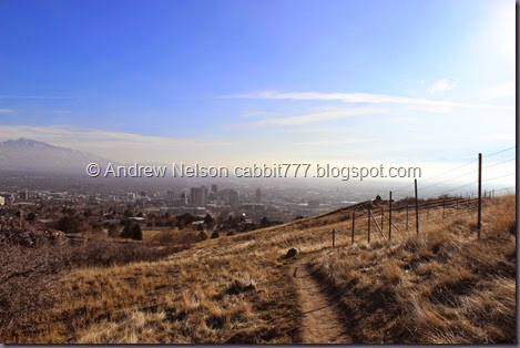
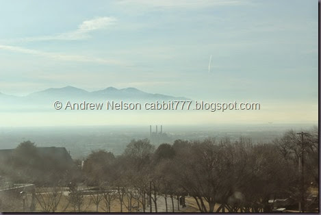
Already getting a great view of the valley below. Yes we are again experiencing some inversion.
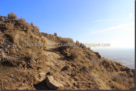
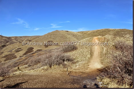
And now the trail starts really going uphill!
Again we can see our destination.
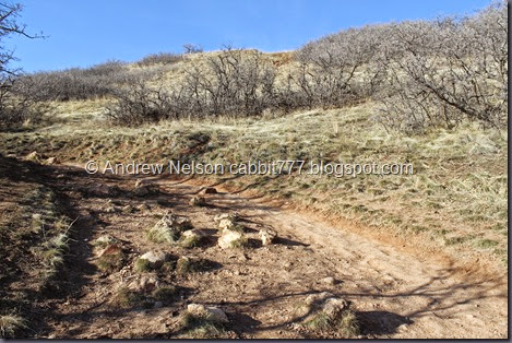
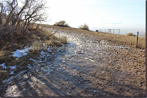
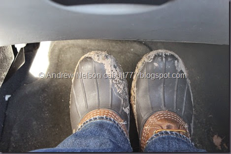
Considering the time of year, the trail actually wasn’t too bad. but this short section was actually pretty muddy! Not much further up I had to shake off the extra 10 pounds of mud from my boots!
Lake Vista. I don’t remember this being here last time, probably missed it going up. Unfortunately with the inversion you can’t really see the lake.
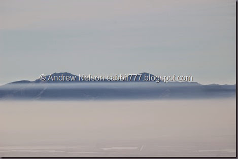
I know that isn’t Antelope Island.. I think it is Stansbury Island.
Antelope Island on the right.
Almost to the peak.
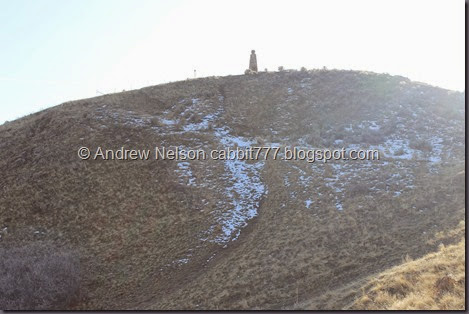
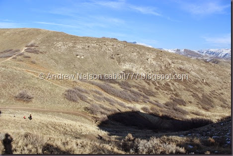
The valley below, with the shadow of the peak, and the monument on top of it. Kind of neat.
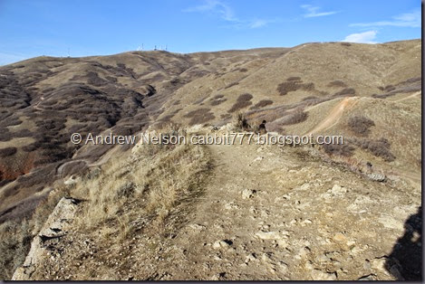
The last section of the trail made me pretty nervous the last time we were here, but actually it is not too bad.
I mean, I wouldn’t want to slip and fall here, but really after all the trails we have done since, this is nothing.
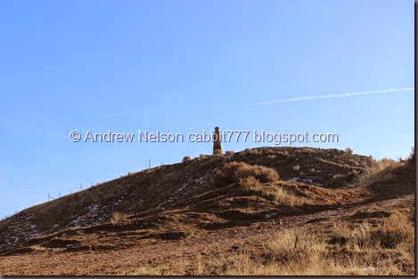
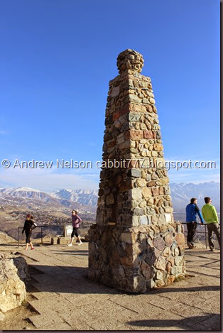
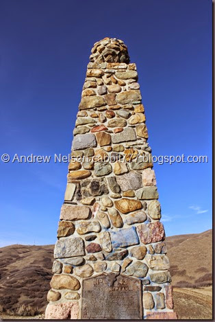
And we have made it! The erected this neat little monument here at the peak.
Although Landis located a mound of rocks that was higher. Perhaps the monument stands at what WAS the tallest point and the leveled it to install it, but we found the actual peak. ![]()
The remaining mud on my boot.
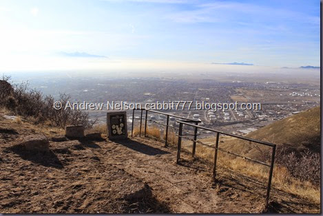
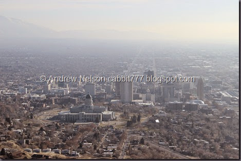
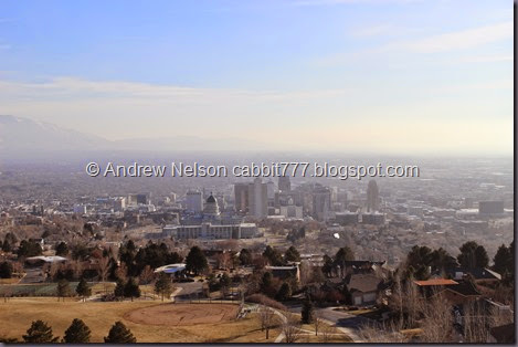
And here is what makes this trail. the absolutely stunning view of Salt Lake City! Even with the inversion it is great!
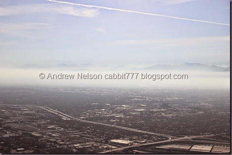
I15 and inversion.
Radio towers. You can see the other side of these from the Wildrose Trail.
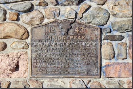
Plaque on the monument.
The monument.
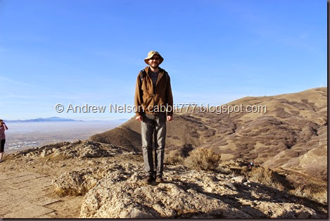
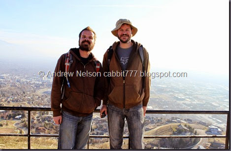
A nice lady noticed us trying to take a selfie and offered to take our picture. I made sure to return the favor.
Quick panoramic from the view point.
Antelope island.
And a view of the smoke towers. I read somewhere that this is the tallest structure west of the Mississippi… but I would need to confirm that.
Stansbury Island
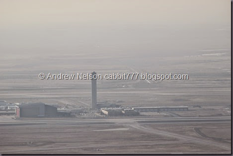
The airport.
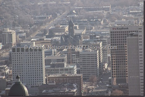
The Capital.
Cathedral Of The Madeline, and surrounding buildings.
Well we had our fun on the peak it was time to head back.
The previously scary ridge Seriously, not bad at all.
View of the valley below.
I recently learned I can take the Bonneville Shoreline Trail from near where I live to here. I am not sure if that would be the trail to the right or the left, but would like to check it out one day.
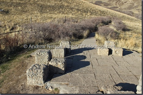
There are several spots with the cement stones, not sure what they were originally for but some offer some great views.
We decided to check out the Vista Mound on the way down. This little side trail connects again below and really only adds another maybe 1/10th of a mile to your adventure. If that.
And it has some nice views.
View from the vista.
A view of the peak from the vista. There is a small trail from here up, and while I imagine is much shorter, it is probably a lot steeper than the official trail. Plus they have signs asking to stay on the trails to allow re-vegetation so yea, I suggest staying on the main trail.
More cement stones at the vista. Unfortunately, there was some guy leaning against the informative stone and I didn’t feel up to asking him to move… o.O
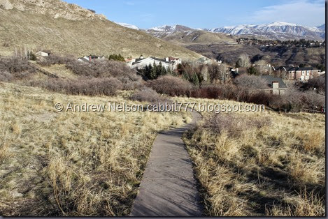
As I mentioned, the lower trail is paved.
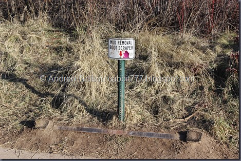
This is the only trail I have done that has a boot scraping station. And it was definitely needed! I would love to see these installed on some other popular trails.
View back up to the Vista Mound.
Back down to the informative signs. Ended at .889 miles for our adventure, which did include some wandering back and forth at the peak.
Across the street and definitely on Mormon property there is a short little alcove with more… Mormon heavy history. We checked it out to try to round out that mile. I bet it is pretty in full bloom.
The mud removal station didn’t quite take care of the problem. haha.
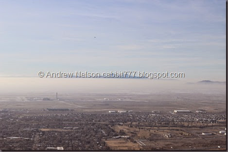
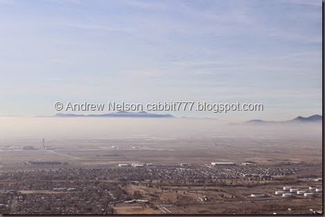
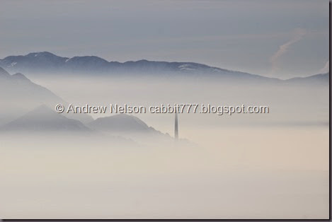
And on the way down out of the neighborhoods I caught a perfectly situated set of exhaust towers below the smog line. (DBP Album)
It is great little trail with an amazing end view! However, with it being so close to the city it is a very popular trail! Being so close to the city we saw some types of people we normally don’t encounter on other trails which included a group of younger kids “jogging” up the trail with their crappy music playing out loud. Thankfully that was towards the end. I guess this close to the city you get a lot more diversity in the crowds. Haha. that aside today, as apposed to last time, I thought this was a fantastic short hike only losing 1 squirrel due to the crowds.
Last time we did this hike, and wow that was some time ago back when we first just starting hiking again I found this trail to be tough, even though the trail guides mark it easy. It was still a little rough on us, even though it is short, it goes uphill rather steeply! Although, that could be due to the inversion as well. But it is short enough that I can see why it might be marked easy. Ending with a DR4.
I confirmed that dogs are allowed. Please remember to clean up after your furry friends though!
.jpg)
