Sunday, July 19, 2015

Parleys Historic Nature Park


More commonly referred to as Tanner Park. I was honestly surprised to not find Tanner Park on the list of off leash parks, only to learn that Tanner Park is only actually the park above this area.

Anyway, I wanted to get the dog out for a bit, and it’s been a very long time since I’ve been here so I decided it would be a fun adventure.

Quick Details:

Length I forgot to turn my pedometer on but I think it’s a little under a mile to the far pond.
Difficulty: DR3.
Elevation Gain: Unknown. not too bad though
Pets: Yes. Leashed in Tanner Park, Off-leash in the nature park.
Restroom: Yes, in Tanner Park.

To get here take I 80 east bound from i15. Take the 2300 east exit, once you crest the hill from the exit, immediately turn left onto Clayborn ave. which will immediately curve to the left. Turn right on Heritage way. Follow that to 2695 East Heritage Way on the left. This is Tanner Park. Head towards the NE corner near the playground and the main park trail is below that.

IMG_6893

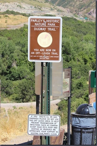
The signs are really clear this is an off-leash area.

IMG_6894

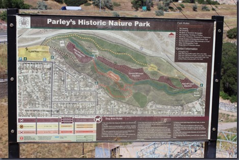
Park Map. I wish I had noticed the Historic Section while we were there because apparently there is some pretty neat stuff in there including an old wine cellar and some remains from an aqueduct. Oh well, next time.

IMG_6895

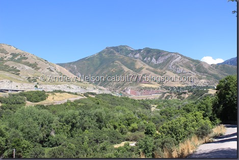
Here you can see most of the park below Parleys Canyon.

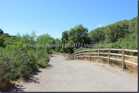
IMG_6898

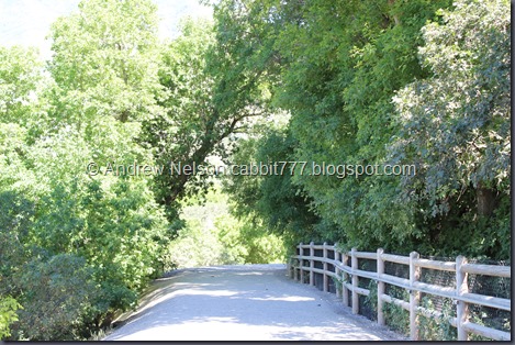
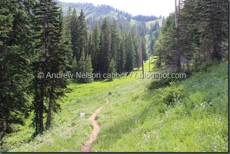
Nice wide hard packed trail. There is even a hand rail for most of the slope section.

IMG_6900

First wading area.

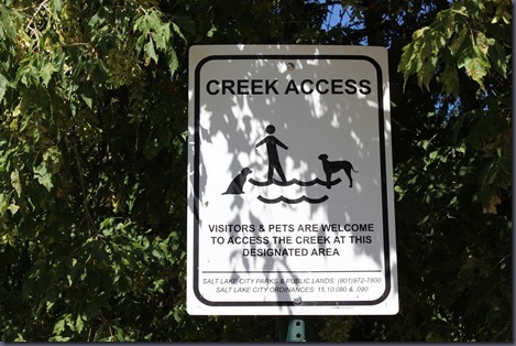
IMG_6901

The sign even lets you know it’s okay. They have made a lot of changes to this area since the last time I was here (more then 10 years ago). Most of which made the trail easier, but some of which removed a lot of access to the creek. There are now only 2 dog wading spots.

IMG_6902

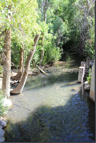
The water is nice and clear.

IMG_6904

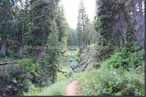
Wide trail, fenced in away from the creek.

IMG_6908

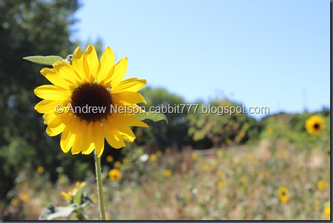
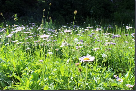
Sunflower.

IMG_6910

Thistle.

IMG_6911

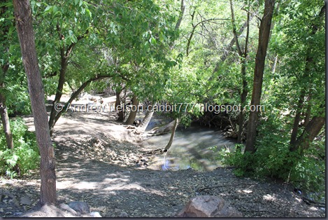
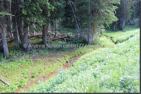
A couple places allow a view of the creek.

IMG_6914

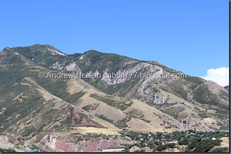
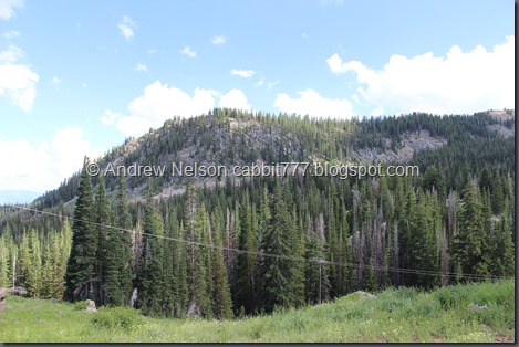
Nice view of the peak above. Parleys Canyon is to the left of it.

IMG_6918

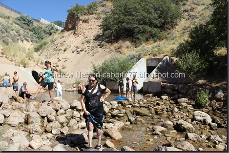
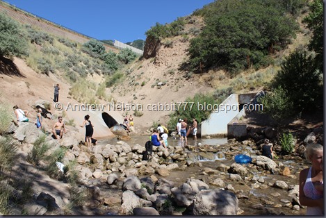
And we made it to the far wading area. It is pretty crowded.

IMG_6920

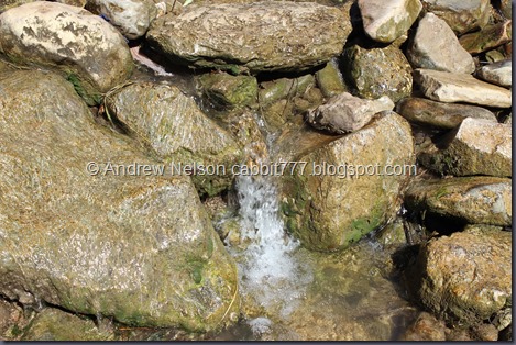
Little cascade down the rock dam.

IMG_6919

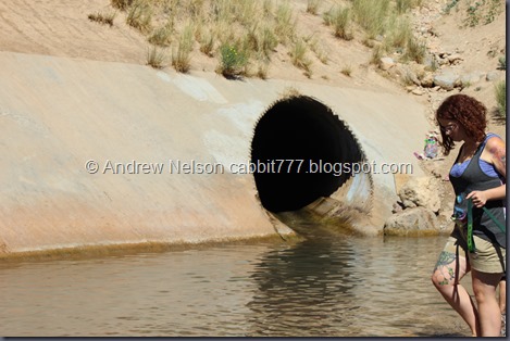
This tunnel takes Parleys Creek from the Suicide Rock area, under the freeway to here. When we did that hike Monica informed me people sometimes tube down this. At the time I thought she was spreading an urban legend…. And then we started hearing some whoops and hollers coming from within…

IMG_6923

Holy crap people actually do go tubing down this thing! It seems kind of fun, but I am a little too claustrophobic to try it.

IMG_6924

The little waterfall became a little torrent.

IMG_6925

I kind of expected this, as I knew that in order to tube down you have to dam the water first and build up a larger flow, but uh, this was a bit more than I expected. The little rock I was standing on was not sufficient. After some scrambling I made it to higher ground without incident.

IMG_6927

A bunch more people now.

IMG_6930

And the creek returns to normal. Still a lot of people and dogs. Well, we had fun, and it was pretty cool to see the crazy tubers come down, but it was time to head on back.

IMG_6931

Roxy meeting a friend. I was really happy that all of the dogs were very friendly today. Some of them a little too friendly, but I’d rather that than aggressive.

IMG_6936

Heading on back.

IMG_6938

More sunflowers.

IMG_6943

We kept speculating on why most of the creek access had been removed via fence. I thought possibly causing too much erosion, Monica thought perhaps private property.  it is kind of sad, but for the most part the trail is great and there are 2 great wading areas so can’t complain too much.

I did a little research and I was closest. It was to control erosion and restore and protect riparian areas.

IMG_6951

Another shot of the creek.

IMG_6954

And now starts the uphill climb. It’s pretty easy though.

IMG_6957

The mountain. The rocky ridge looks like a giant seahorse from a little further down.

IMG_6959

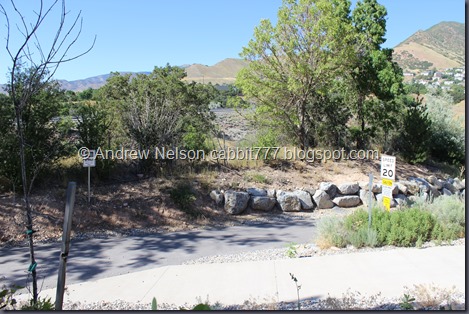
Bike path that goes around the north ridge, another section of Parleys Trail. This path goes around the north east edge of the park, cross the freeway and connects to the Suicide Rock area. The plan is to eventually connect the trail following the creek all the way down to the Jordan River into one long trail called Parleys Trail.

IMG_6960

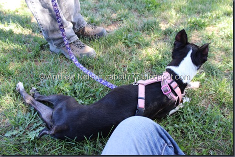
Once we reached Tanners Park Roxy guided us to the shade and proceeded to plop right down. Guess it was a little too warm for her today. She had plenty of water and stops in the shade, I am a little paranoid taking her out on hot days as I know a few people who have unfortunately lost their dogs on trails in the high heat. She is super tuckered out but doing just fine right now.

IMG_6961

Interesting amphitheater here.

IMG_6965

Wild Belladonna or Deadly Nightshade. I recently learned this grows all over the place in Utah. Luckily I know better than to eat random berries I find in the woods.

IMG_6966

And one tuckered out dog! I was a bit worried about her and kept a close eye on her. She seemed more stiff than overheated. She is getting on in age, we’ll keep taking her as long as she is willing, but her hiking days may be coming to an end.

Well that was a nice little walk. It is a shame they have fenced off most of the creek, but I do enjoy that we still have a great off leash trail and I understand why they fenced it off. It really is a shame some bad seeds don’t follow the rules and leave garbage and fail to clean up after their dogs. otherwise it is a great little trail! Removing 1 squirrel for the crowd, 1 for the limited access, and 1 for the garbage. 7 out of 10.

squirrels 7

It’s not too difficult, aside from being one of those trails that starts at the top. Meaning you go down, and return back up. However the slope up is not bad at all is wide, flat, and even has a railing. Going with a DR3.

Pets are welcome! Please do your part in showing that we deserve more dog parks by cleaning up after your furry friend! Come on people, it really isn’t that hard! Particularly when they provide bags and so many garbage cans!

Copy of Copy of dogsyes

Sunday, July 5, 2015

Lake Lackawaxen


Lake Lackawaxen is a beautiful alpine lake near Guardsman Pass. It is much less crowded than nearby Bloods Lake but it is quite the adventure in locating and was quite a bit more work. After our grueling trek last week, I wanted to go a little higher in elevation to see if we could beat the heat.

So what is the deal with the name? All I can find is a town in Pennsylvania named Lackawaxen which is named after a river with the same name. Which is a Native American tribe Lenape word meaning swift waters. So.. what any of this has to do with this lake, I have absolutely no clue. It seemed pretty calm and peaceful to me.

Quick Details:

Length About 1.75 miles to the lake. 3.5 round trip.
Difficulty: DR4 long segments without shelter, steep slippery slopes, some rocky trails.
Elevation Gain: 587 ft. and a loss of 265 ft. Then reverse that for the return trip.
Pets: Yes. Be sure not to cross into Big Cottonwood Canyon with them, and please ensure you clean up after them.
Restroom: No. There is one at the winter gate on the Guardsman Pass Rd on the Big Cottonwood Canyon side. (I’d guess about 2 miles below the pass).

To get here drive to the top of Big Cottonwood Canyon, turn onto the Guardsman Pass Rd. and continue 3 miles to the pass. There is a small dirt parking lot. You can also get here from Park City follow the signs up through Empire Pass to Guardsman Pass.

IMG_6446

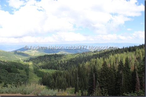
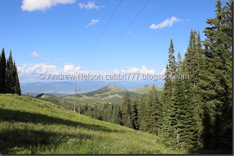
The view into Summit County from the pass.

IMG_6448

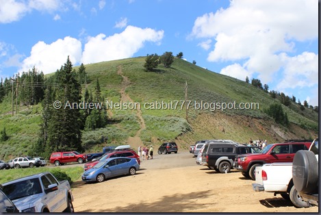
A look back at the parking lot. It is very crowded on weekends.

IMG_6449 - Copy

IMG_6452

IMG_6453

IMG_6455 - Copy

IMG_6461

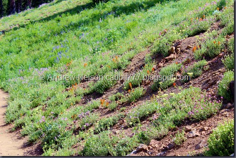
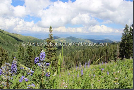
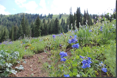
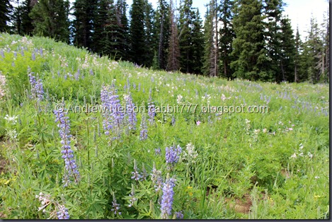
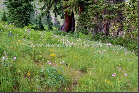
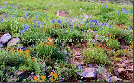
Holy wildflowers batman! Cecret Lake is known for it’s abundance of wildflowers, but I think this might actually give it a run for it’s money.

IMG_6464

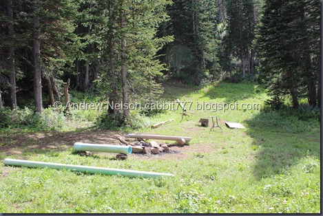
A somewhat trashy primitive campground.

IMG_6467 - Copy

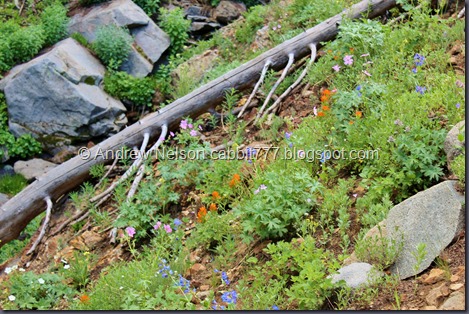
More wildflowers.

IMG_6471

First glimpse of Bloods Lake.

IMG_6473

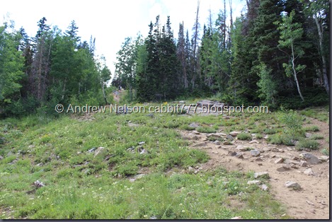
Keep in mind that since you start at the pass, you start at the top and have to come down this. Which means you have to climb back up on the way out.

IMG_6480

Bloods Lake. Already we can tell it is quite a bit more crowded today than last time. The sounds of people, and dogs barking echo loudly off the surrounding cliff walls.

IMG_6482

From lower.

Bloods Lake

Quick panoramic.

IMG_6494

There are no signs for anything up here. The most obvious trail to me, was this old jeep trail heading down. THIS IS NOT THE WAY. To continue to Lake Lackawaxen to will be heading back UPhill from here on a smaller trail, which we will get to in a minute.

Even though this seemed to be the most obvious trail, I was doubting myself. So I asked the one person we passed, who had no idea. Well, lets see if we can tell where to go.

IMG_6499

IMG_6505 - Copy

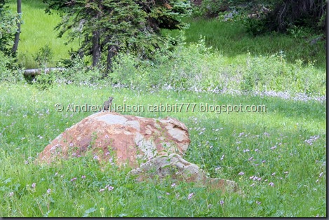
Chipmunk!

IMG_6509

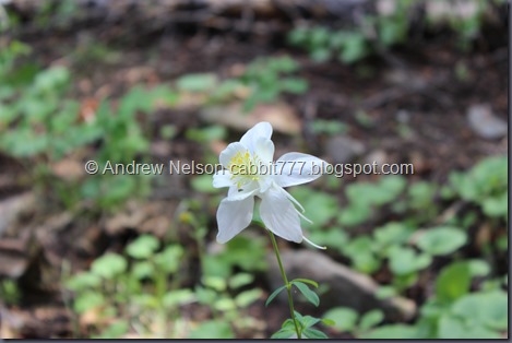
More flowers.

About this point we realized we had to have been going the wrong way. We knew the trail was supposed to swing south, and then west, and we are heading almost directly due east. So, even though we just lost a lot of elevation, we needed to turn around and regain it. DOH! Not sure where this leads, it appears to possibly lead to a set of lakes below, but not certain about that. So back up the hill we go.

IMG_6512

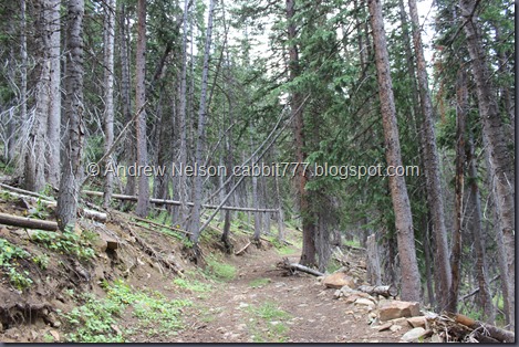
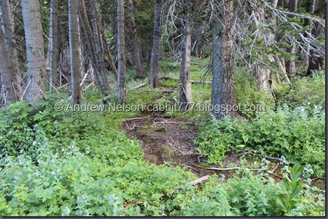
The forest is pretty through here though.

IMG_6516

Back to Bloods Lake. Small detour, added about a half mile to todays adventure.

IMG_6517

Okay, remember that old jeep trail at the eastern tip of the lake, just south of that, up the steep ridge is a very thin, steep trail straight up. Yep. That is the trail you should take. Again I asked people if it lead to the lake, and again no idea. Oi. Well, this part looked pretty steep, but I did notice another trail heading southwest up the ridge. We were kind of winging it at this point, but at the end of the day, it did get us where we needed to go.

IMG_6518

Bloods Lake from above.

IMG_6522

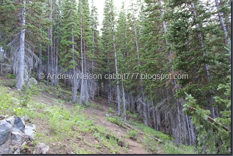
I didn’t notice this at the time, but all the trees have a lower dead line at about the same level. That is weird! I wonder if because this is such high elevation the sitting snow causes this? Or what.

IMG_6524

Last push up this steep section, you can see the top of the ridge is near. So, this trail was pretty steep, but we went down the other way, and I think that was much steeper.

IMG_6527

Top of the ridge! From here the trail just kind of fizzles out. You have two choices. Either follow the ridge east (left) for a minute and reconnect with the other trail, or just head back down the other side of the ridge until you hit the trail. If you hit the creek you went too far. The trail roughly follows those power lines west up the narrow canyon below.

IMG_6531

See?

IMG_6539

We were still a little uncertain if we were going the right way, but were enjoying the sites and serenity of the woods.

IMG_6549 - Copy

Still so many wildflowers.

IMG_6551

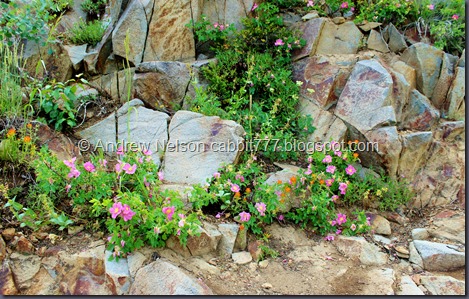
Different Indian paint brush than I am used to.

IMG_6554

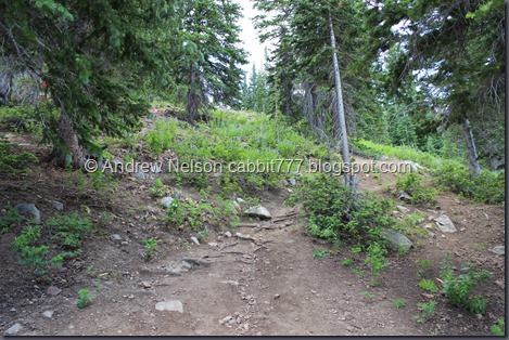
Starting to get steep again. Luckily it was short and not too bad.

IMG_6558

Nearing the top.

IMG_6560

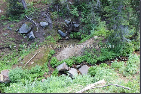
Neat little spring.

IMG_6568

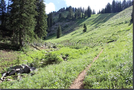
Just when I was about ready to call it a day we reached this valley. The lake can’t be much further.

IMG_6570

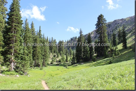
Beautiful valley.

IMG_6573

Trail split. It should be pretty obvious, but left goes towards the lake, right towards Claytons Peak.

IMG_6579

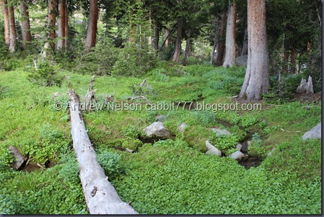
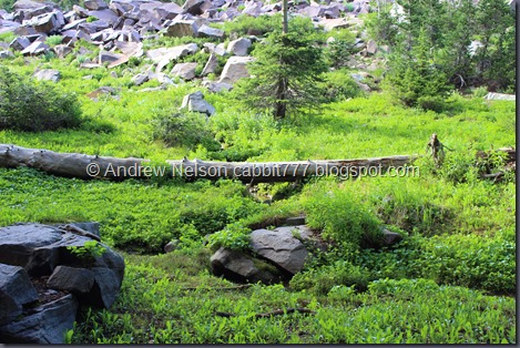
Boulders and trees.

IMG_6593

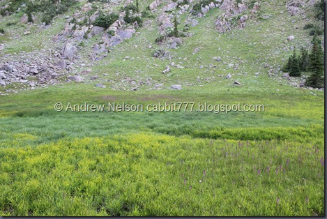
I was a little worried that this was the lake. Nope, just a quick swampy area.

IMG_6596

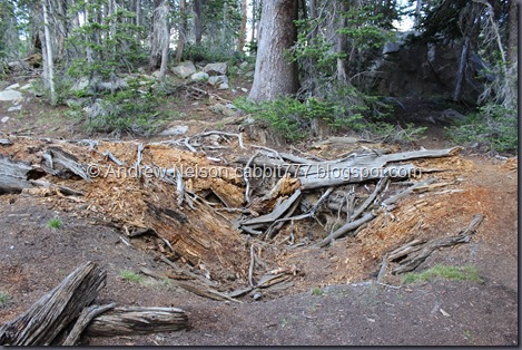
Hole from the root ball of a fallen tree.

IMG_6602

IMG_6603

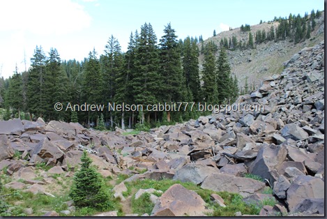
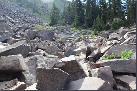
Boulder field we still have to traverse and you can just glimpse the lake peaking out from behind the trees.

IMG_6621

Stream meandering down towards the lake.

IMG_6629

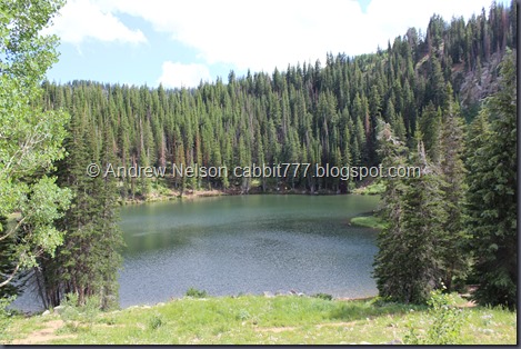
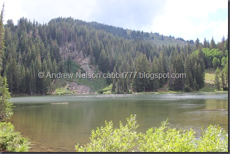
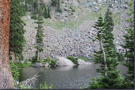
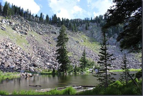
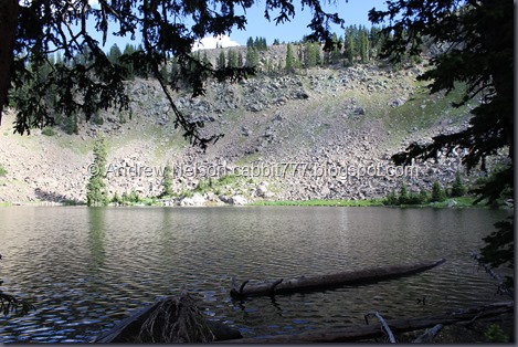
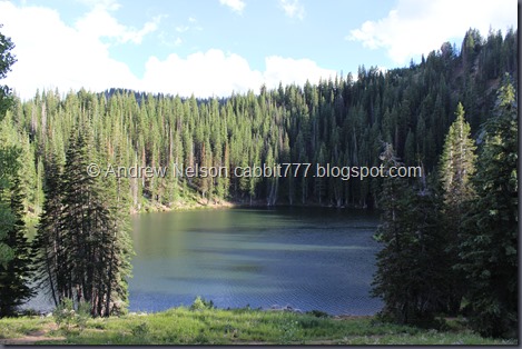
And we have reached Lake Lackawaxen! It is quite beautiful!

Lake Lackawaxen2

Quick panoramic.

IMG_6655

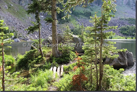
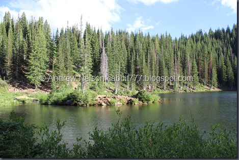
I love that this lake has a small island near the shores, just like Bloods Lake.

IMG_6662

With a helpful bridge.

IMG_6668

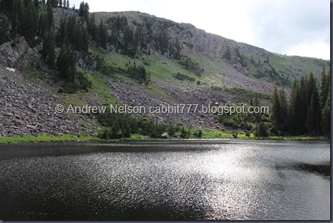
The lake with Clayton Peak in the background.

Lake Lackawaxen4

Another panoramic. We were just wondering if there might be any fish in this lake..

IMG_6676

Oh Look, there’s one.

IMG_6678

Landis: “Uhm.. I think it’s a tadpole.”
Me: “Dude, there is no way that is a tadpole.”
Landis: “It has legs.”
Me: “What? Are you sure? They look like lower fins. I think they might be small catfish.”
Landis: “No, those are legs.”
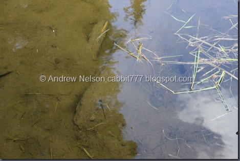
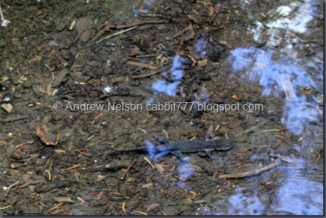
Me: “Oh, oh my, they are, but I’m still certain it’s not a tadpole… what in the world is this?… OH!!! I know what they are! Salamanders!”

IMG_6685 - Copy

Yep. Definitely salamanders. I didn’t know we had them in Utah, and had never seen one in the wild in Utah. We did see one in Oregon though. So I did a little bit of research. According to Hogle Zoo the only salamander in Utah is the Tiger Salamander. I remarked that they kind of looked like axolotls but knew they were not from around here. Turns out they are related and young Tiger Salamanders look like axolotls.

IMG_6695 - Copy

I think this one is more mature as it is larger, has more pronounced legs, and is missing the awesome gills that made the others look like axolotls. I was absolutely fascinated with the salamanders. I went from never seeing one before, to seeing a bunch all in one spot. However, the reason I think they are doing so well here is due to all of the mosquitos! Holy crap were we getting swarmed.

IMG_6696

Little waterfall. This is kind of interesting. Both the waterfall, and the stream are coming out of the same lake, but at different levels. The ridge to the left allows the lake to extend a little further downhill than the main creek coming out of it.

IMG_6699

Back up to the lake.

IMG_6700

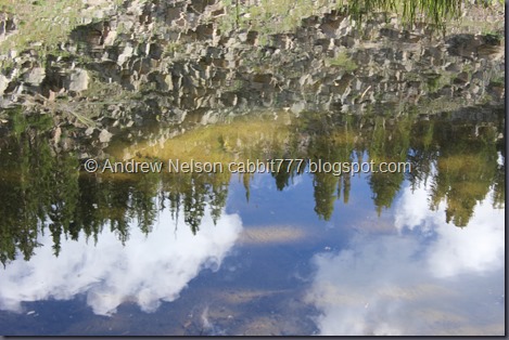
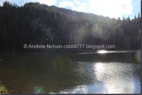
Fun reflections.

IMG_6707

It’s weird to think that Brighton is on the other side of that ridge.

IMG_6712

Cell towers up on the ridge.

IMG_6719

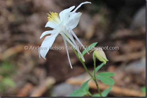
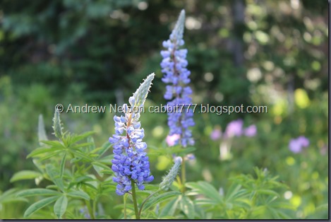
Of course there are a bunch of wildflowers up here too.

IMG_6716

Well we were really enjoying the serenity of the lake. Absolutely nobody around and it was just really pretty and quiet. However the mosquitos were really ravenous and didn’t seem to mind the layer of deet we had both put on, or had we maybe sweat it off? Either way it was time to go.

IMG_6722

The little stream that flows into the lake.

IMG_6724

Back to the boulder field.

IMG_6728

And back to the swampy area. I originally thought that was Clayton Peak there, but it is a lower sub peak. Peak 10,420 (named after it’s elevation).

IMG_6733

These are pretty.

IMG_6739

Nice round valley would lead me to think it was created by a glacier.

IMG_6741

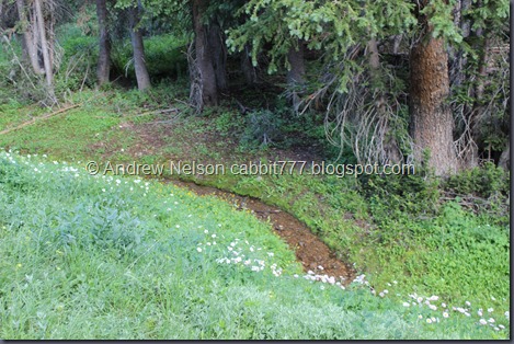
Tiny little stream.

IMG_6751

IMG_6754 - Copy

IMG_6763 - Copy

Flowers and trees.

IMG_6761

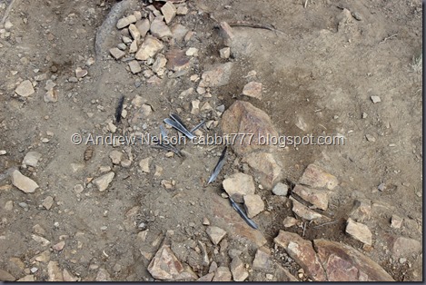
It would seem some poor bird met it’s demise here.

IMG_6768 - Copy

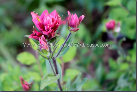
Bright magenta Indian paint brush.

IMG_6776

Flowers forever.

IMG_6780

IMG_6783

Stream flowing into the woods.

IMG_6785

More flowers.

IMG_6790

Neat boulder.

IMG_6795 - Copy

IMG_6801

I really am enjoying all the wildflowers up here right now.

IMG_6798

Nearing the top of the ridge. Time to start down again.

IMG_6803

Back to Bloods Lake.

IMG_6804

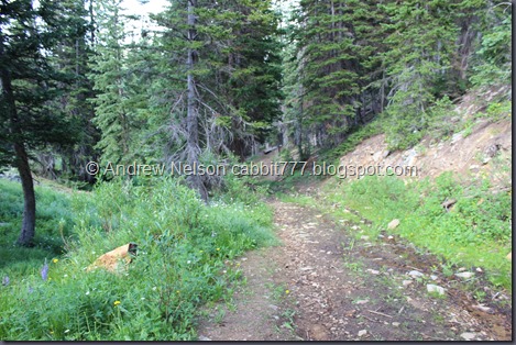
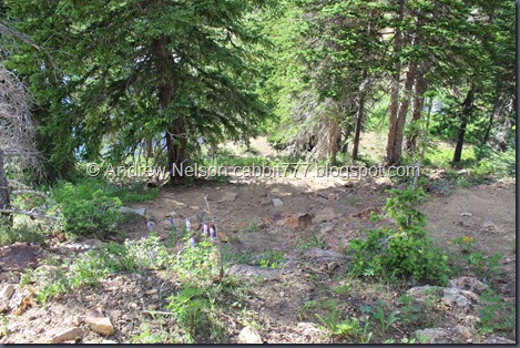
And the trail down. It is quite steep and somewhat slippery, but take your time and you’ll make it down just fine.

IMG_6806

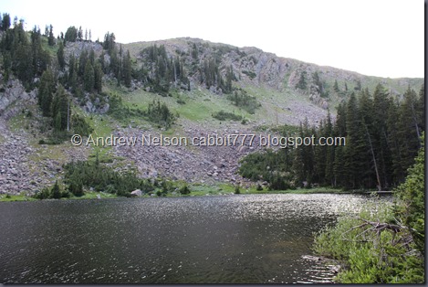
Bloods Lake with peak 10,420 rising above it. Most of the crowds have left at this point.

Bloods Lake2

Another panoramic. With some sun spots.

IMG_6821

The little island again.

Bloods Lake3

Another panoramic.

IMG_6831

Last parting shot.

IMG_6832 - Copy

IMG_6841 - Copy

IMG_6845 - Copy

More flowers.

guardsman pass

View from Guardsman Pass.

IMG_6858

Driving down towards Park City, a nice view into Heber. (DBP)

IMG_6861

Empire Pass. (DBP)

IMG_6870

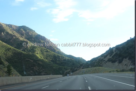
And down Parleys Canyon. (DBP)

Aside from getting confused, and being uncertain where we should go I absolutely loved todays adventure! Beautiful scenery, two beautiful lakes, LOADS of wildflowers, and salamanders even! It was a bit of tough work, going down, back up, down, then up again but the end result was so worth it. Absolutely beautiful lake without another soul around. I really want to give this a perfect rating but am going to take 1 due to lack of signage and some of the really steep parts. Not to mention the mosquitos! Still suffering from the effects of them. 9 out of 10 squirrels.

squirrels 9

As for difficulty, I really must give this one a DR4. There were quite a few spots that were steep and slick and hard to climb. And, the down, up, down, up was quite a bit rough on the legs.

Dogs are allowed! So long as you come up from Park City because they are not allowed in Big Cottonwood. However, this side of the ridge does not fall into watershed. Please clean up after your furry friends.

Copy of Copy of dogsyes