Monday, May 30, 2016

Rocky Mouth Falls - Runoff!


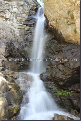
Rocky Mouth Falls is a great short trail leading to a fantastic waterfall set in a recessed cliff. It is a bit on the strait UP side in the way of hiking, but at less than a half mile, it is totally doable, and worth it. I would say about 1/3rd of it is hiking through a neighborhood (can’t park at the trailhead) 1/3rd going UP and 1/3rd easy going (approximately). We actually just did this one about a month ago, but I have been wanting to see this waterfall at the full force I remember as a kid, and have not had good luck, probably because I usually do this one early in the year. Not to mention the kind of weak winters we have been having.

IMG_5629

Quick Details:

Length: About a half mile to the waterfall.
Difficulty: DR3 there is definitely some up on this trail but it’s short.
Elevation Gain: about 300 feet.
Restroom: No.
Dogs? Not allowed, posted. This is part of the watershed.
Extra Info: Closes at 9:00 PM. Also, it’s been years since they made this change, but in case you are not aware, you can no longer park on the street below the original trailhead. Now you must park just off of Wasatch, and hike through the neighborhood for a minute.

To get here, head towards 9400 S and Wasatch BLVD. Drive south down Wasatch for about 3 miles. You will see a church on the right side, and just south of that is the small trailhead parking lot on the left (east) side. 11250 S. Wasatch BLVD.

IMG_5610

The trail starts with 80 steps up to the street above. Landis decided to count.

IMG_5611

Once you hit the neighborhood you get a nice view of the canyon.

IMG_5614

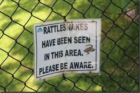
Good to know.

IMG_5615

And then the trail goes up these steps for a bit.

IMG_5617

Before long it levels out and isn’t so rough.

IMG_5618

Ok, this is looking more like I remember!

IMG_5625

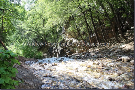
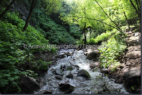
I am certain I have seen it with a lot more water than this, but this is definitely more than I have seen the last couple years so I am happy.

IMG_5629

Little bit of extended exposure.

IMG_5630

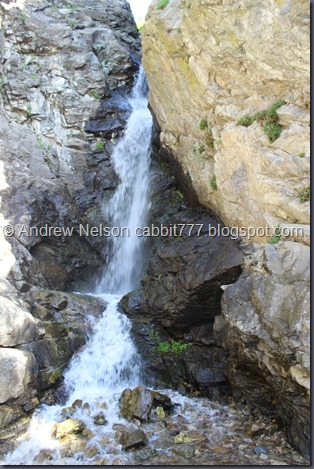
Just the lower section.

IMG_5634

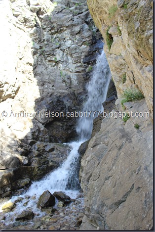
From down the side.

IMG_5635

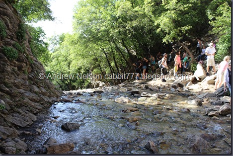
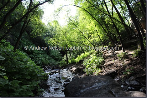
Looking down canyon, plus ALL the people. I usually tend to avoid the popular trails on Memorial Day Weekend, but I had to work today and after getting off early I thought I’d do this quick short one. Frankly I am surprised I got a few shots of the falls without people. Guess I got lucky.

The crowd was a bit much for us, so after getting a couple pictures we decided to head back down.

IMG_5639

Plants growing out of the cliff walls.

IMG_5640

Above the lower cascades.

IMG_5644

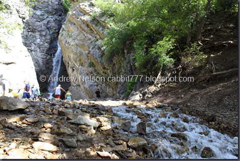
The waterfall and the lower cascades. And the tons of people. Oi.

IMG_5647

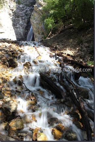
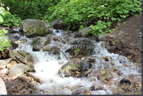
Long exposure of the lower cascades. This is why I came back.

IMG_5651

The greenery!

IMG_5655

Amazing little oasis here.

IMG_5659

Absolutely lovely down here.

IMG_5664

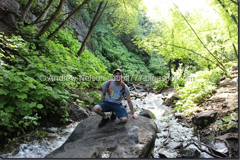
Decided to have Landis grab a shot of me down here.

IMG_5665

IMG_5667

Wild thimbleberry. Like raspberry, but a lot more delicate so it is not typically cultivated.

IMG_5671

Beautiful down here.

IMG_5673

Mossy rock and smoky stream.

IMG_5676

More cascades.

IMG_5680

Pretty wildflowers.

IMG_5690

Back to the steps down.

This trail is special to me, I have been hiking it since I was a teenager. I was really happy to see the higher water levels today. Even with the extra neighborhood jaunt it is a great trail that is absolutely worth doing. And it is a great trail to do if you only have a little bit of time. Even with the big crowd today I am going with 10 out of 10 squirrels.

squirrels 10

As for difficulty, It definitely has a tough section, but the trail is only about a half mile so it really isn’t too bad.

Dogs are not allowed. This is part of our watershed.

Copy of dogsno

Saturday, May 28, 2016

Willard Pioneer Cemetery


On a Memorial Day drive we kind of just, stumbled across this old cemetery and thought it was pretty neat.

IMG_5592

The sign.

IMG_5582

Neat old pavilion.

IMG_5581 - Copy

Robin perched on a monument.

IMG_5583

IMG_5584

There were only a couple tombstones, and they were very hard to read. I think most of them date back to the 1860’s.

IMG_5585

IMG_5586

Beautiful central garden patch. As you can see most of the lot behind it is pretty empty.

IMG_5587

IMG_5588

IMG_5589

IMG_5590

I think I got a picture of all of the tombstones located here, they are quite sparse and separated.

IMG_5594

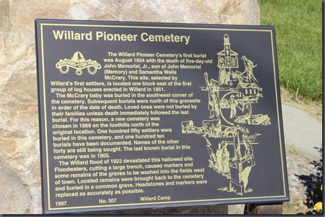
Historical placard.

It would seem there was a flood in 1923 that decimated the cemetery and sent the tombstones, and even the remains downstream to the west of town. They did what they could to bring what they could back, remains were put in a mass grave and markers were put them back into as close to the original locations as possible, but a lot was lost. They know 150 people were buried here, but only know 110 of the names.

Wow, that is pretty intense. Definitely explains why the cemetery seems so sparse. Not everything is lost by man, nature takes a lot away too, and sometimes man does what we can to restore, preserve, and remember. I will have to do my best to remember that every time I get upset that another piece of history is being torn down.

IMG_5595

Mountains above.

Well that was a neat side adventure, and what an appropriate weekend to do so. I know cemetery's are not for everyone, but we like history, and I’m a little on the spooky side so we find them fun. If you do as well, we have visited a couple different ones. My personal favorite is In Echo, then there is all that remains of the ghost town of Iosepa, a small one on Antelope Island, and another in Gold Beach, Oregon (as surprising as it is to see a Pioneer Cemetery in Oregon of all places)!

I definitely wouldn’t drive all the way out here to see this, but if you happen to be in the area, and this is your thing, it is certainly worth a stop.

Saturday, May 21, 2016

Davis Creek - First Waterfall


The first waterfall along Davis Creek is a great short trail to quickly get out, get some exercise and enjoy a nice waterfall situated beneath a really cool, named rock formation, Indian Annie Rock. Also, there was a new feature they recently added, discovered, or just made a trail to the Indian Bath Tubs. At just a half mile to the falls it is a great quick adventure. However, if you are feeling more adventurous there are 5 waterfalls up this canyon, and quite a few other interesting things to look out for. I had other plans for today but we were having on and off rain storms, so I thought we’d do a quick one. That is the nature of the beast, plans are great but when dealing with an outdoor adventure, sometimes it is good to have a back up plan.

IMG_5313

Quick Details:

Length: 1/2 mile to the falls, 1 mile round trip with the option of more.
Difficulty: DR4 this was a bit tough, and the trail is kind of sketchy at the falls.
Elevation Gain: About 500 Ft.
Restroom: No
Dogs? Yes! Be sure to clean up after your furry friend!

To get here find 500 south in Farmington, follow it east until it curves south. It will eventually turn into a well maintained dirt road and you will see a small reservoir with a small parking lot in front of it on the right. This will add about 500 feet to the hike, but if you go just a little bit further up there is a tiny parking lot (2, 3 car max) and the Davis Creek Trailhead.

IMG_5292

The trail head.

IMG_5294

The trail feels a little overgrown this time of year, or after the wet spring we have had.

IMG_5298

Some pretty Lupines.

IMG_5300

Pretty scrub oak.

IMG_5302

Cutleaf Balsamroot.

IMG_5303

First view of the canyon above.

IMG_5305

Not sure what these are.

IMG_5306

More wildflowers. I think this is a Twin Crest Onion.

IMG_5308

Dense woods.

IMG_5309

First glimpse of the waterfall.

IMG_5310

IMG_5313

The waterfall with the Indian Annie Rock formation. This is from the Diamond View Bench. A much appreciated bench to rest on after all the up!

The water seems to be gushing a lot more than the last couple times we have been here.

IMG_5314

Another Cutleaf Balsamroot.

IMG_5315

More scrub oak.

IMG_5317 - Copy

It is very faded and hard to see, but it said there was a trail down to Indian Tubs only 100 yards down here. I mean, it was a thin trail, but I think this is new. I definitely did not see this the last few times we have been here. Although, it has been about 3 years.

IMG_5319

It was a little thin, but doable… until there was a quite slippery part above a landslide section. We waited for a family with kids trying to make their way down who were having a hard time, and after waiting I.. I just couldn’t do it. Landis is a little less nervous than I am so he wanted to go, and I gave him the camera.

IMG_5320

He got a nice shot of the creek.

IMG_5326

I believe the bath tubs are there at the flat part. I still can’t decide if they are called The Indian Bath Tubs because they are below Indian Annie Rock, or if they are a formation Indians might have used, or if it is known Indians did in fact bathe here. Either way, the water level is a bit to high to really see them.

IMG_5329

Or they might be at the upper flat section. There is a rope to help you up, but the waterfall is just raging too much at the moment.

IMG_5330

I eventually worked up the courage to make it to the stream. It really is steep and slippery after the rain so I was not comfortable, but I made it this far.

IMG_5333

Landis being a mountain goat.

IMG_5334

Back down through the woods.

IMG_5335

Helpful rope to get through the steep, slippery section. I probably wouldn’t have made it that far if this were not here.

IMG_5336

The landslide section before the steep slippery part. It really doesn’t look too bad from here but I don’t like steep slopes, particularly above raging creeks. I might be less nervous later in the year with less water gushing down.

IMG_5338

More pretty woods.

IMG_5340

I knew the waterfall lookout was not much better, but decided to see how far out I could make it. It was only another 1000 yards.

IMG_5341

Not sure what this one is either.

IMG_5342

Indian Annie Rock. It was named for her because it resembles a face.

IMG_5343

Landis is a shutterbug too, though he typically uses his phone.

IMG_5348

Indian Annie Rock. This thin trail does take you to the falls, but the top, so I didn't particularly feel up to continuing today.

IMG_5350

Back down the thin trail.

IMG_5351

As I mentioned, there are a lot more things to see along this trail system if this was not enough of an adventure for you. Keep heading up and see El Capitan Rock, Wolf head Rock, Pretty Valley, Hell Hole, Christmas Tree Lane, and an additional 4 waterfalls! Just know, no mater which way you chose to continue up, it is a bit tough.

IMG_5354

Another shot f the falls from Diamond View Bench.

IMG_5356

View of the valley below.

IMG_5361

More woods.

IMG_5362

More pretty flowers.

IMG_5363

Big beetle. we called these stink bugs when I was a kid, but I don;t think that’s what they are.

IMG_5365

Back to the dirt road, and the small parking lot.

IMG_5366

Where Davis Creek lets out below the road.

IMG_5367

I decided to tromp up the Triumph Trail to see how it was. I have been meaning to check it out, but haven’t.

IMG_5369

IMG_5373

Davis Creek. Actually doesn’t seem so bad down here. Maybe I was being a big wuss.

IMG_5374

I was hoping the trail followed the creek to the first waterfall, but it switched backed up above. Meh, we had our adventure for the day. Maybe we will head up this trail another time.

IMG_5376

Another wildflower. I think this is a Cutleaf Anemone.

IMG_5379

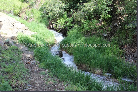
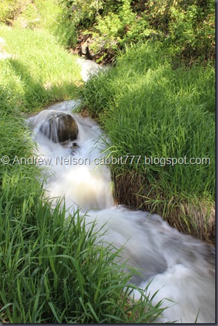
Extended exposure of the creek over a rock.

IMG_5384

And again.

IMG_5386

And again.

IMG_5391

Where the creek goes below the BST trail/road.

IMG_5393

View up canyon.

This is a great short trail to see a nice waterfall, and some neat natural formations. And if that isn’t enough for for you, you have the option for more. Going with a 9 out of 10 squirrel rating. Losing one for some sketchy parts to get in close to the falls, and the baths.

squirrels 9

As for difficulty, It was a pretty steep climb for most of the way, and the view points for the waterfall and the baths were really steep and sketchy. Some ropes have been added which do help, but I would have been happier with more. Going with a DR4.

Dogs are allowed! Please clean up after your furry friend.

Copy of Copy of dogsyes