The Soapstone Campground along the Mirror Lake Highway is a fantastic little campground that features several creeks, and a lovely mixed forest. So, this post is mostly going to be Passenger Seat Photos and shots of the campground. I know that is not the most exciting, so I pulled the viewpoints we did do into their own posts.
My friend group has been trying to get a camping trip put together for some time now and this year we decided to just do it. I suggested this campground as it did not seem to be super high up so I was hoping it wouldn’t be as cold overnight as it was the last time I camped up here at Trial Lake which is quite a bit higher.
Day 1:
Starting with the trip up into the mountains.
Entering Parleys Canyon (Passenger Seat Photography (PSP)).
I love this time of year when the hills are so green (PSP).
More canyon (PSP).
Big fluffy clouds (PSP).
The wildlife pass that is at the summit (PSP). Parley’s Summit is 7140 feet in elevation, and it is the highest point of i80 in Utah. I just learned the highest point of i80 is in Wyoming at a place called Sherman Summit. It is 8640 feet of elevation there.
Heading down the other side (PSP).
More fun fluffy clouds (PSP).
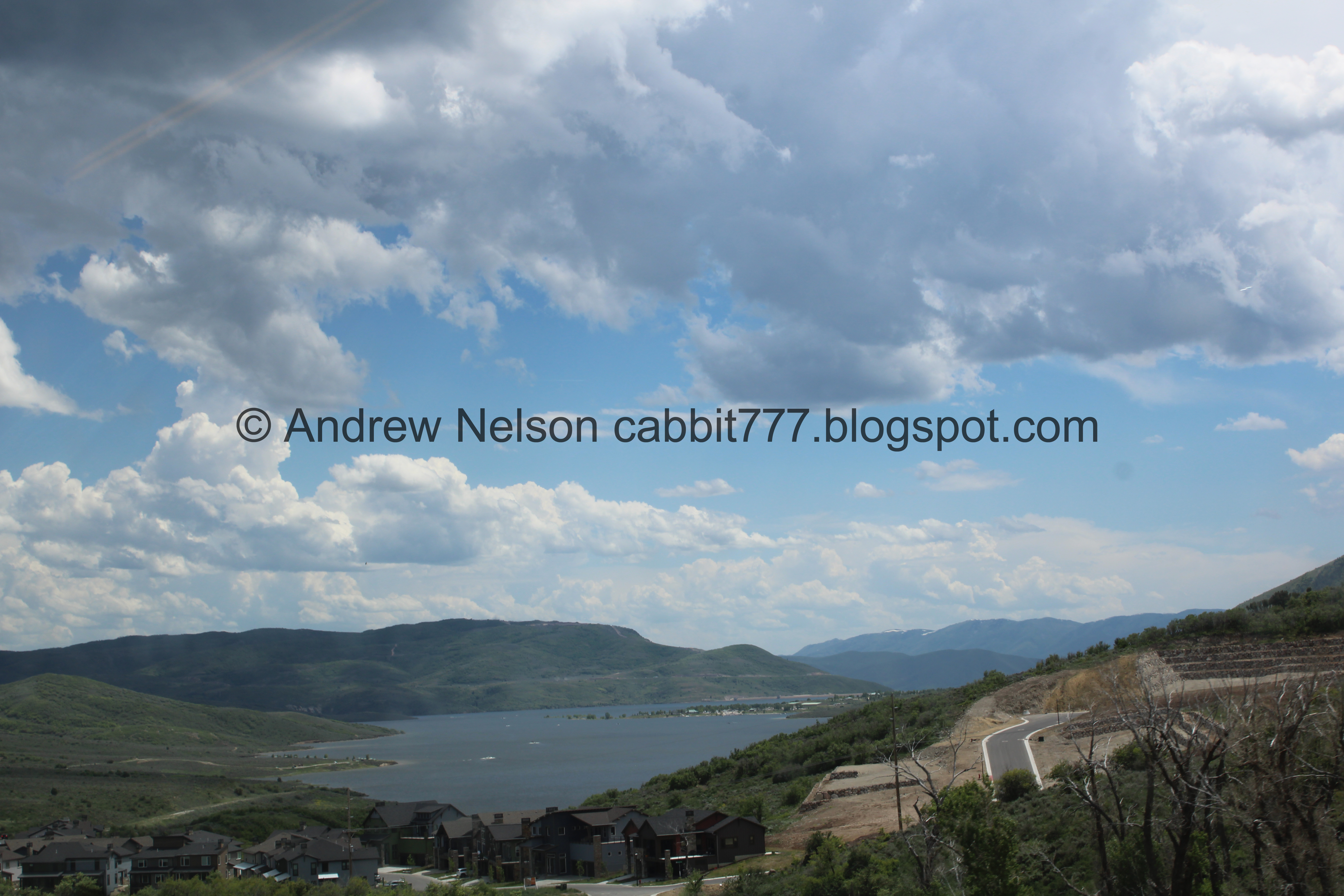
Jordanelle (PSP).
Again (PSP).
More fun clouds (PSP).
Back down as we approach Kamas (PSP).
Aw, they updated the sign (PSP). I liked the old one better.
The old one from 2018.
The Kamas Food Mart is really your last option for last minute food, supplies, gas, etc. I was hoping to find a good Mirror Lake Highway shirt but instead I found a cute Kamas tshirt.
The Heber-Kamas Ranger Station. We stopped by to ask a few questions and pay our recreation fee, when I discovered it is National Parks Week and the fee is waived for today and tomorrow. Wewt! We had planned on staying 3 days, but I figured we’d play it by ear and pay the fee when we needed to.
The Beaver Creek Nudist Ranch (PSP). From what I have found it’s just a big joke, no nudists running around. But it is funny.
Heading up the Mirror Lake Highway (PSP).
A pretty meadow (PSP).
Starting to hit some thick forest (PSP).
Another big valley (PSP). This is actually where the Provo River heads downhill towards Jordanelle, before heading across the Heber Valley to Deer Creek Reservoir, then down Provo Canyon and emptying into Utah Lake.
After this point this road follows the Provo River pretty much up to it’s headwaters at Trial Lake.
Speaking of, here is the Provo River (PSP).
It is just so pretty up here (PSP).
The river again (PSP).
Eventually we made it to the campground. It was a little confusing because there is a Soapstone Basin, Soap Stone Camping (down in the basin) and then Soapstone Campground, luckily there is a sign that points you the right way.
Our lovely little campsite. We had a little unexpected surprise and learned the road to our site was closed, and we had to walk in from the restroom. It was only about ~300 feet, but that is a bit much with all your camping gear! Luckily the friend that made the reservation was notified about that and they decided to purchase a little cart, which was super helpful.
I knew there was a little creek next to our camping site, but this was a little more substantial than I expected. It was very nice.
A short ways back we found another, bigger creek. Yay. At first we assumed this was the Provo River, but as you will see soon, we determined that was not the case, or at least not entirely.
Little rapids.
The creek again.
The forest around our site.
View up canyon.
We set up camp, then I decided to continuing exploring our new home for the next few days.
I found this cute blue pond.
A little further up.
The top. It appears to be a spring. Fun.
Then I went on an adventure to see if I could see where the 2 creeks join.
Unfortunately, the forest was way too thick, and the creeks are way too high, so I didn’t really manage to get close enough to see that. But it was an adventure!
We had a quick storm blow in.
Then we decided to join my friend as she explored the back creek.
Downstream.
We found a cute little waterfall.
The creek again.
Little island.
Again.
Well, we decided to head back.
Here is where we noticed the whitecaps of a much bigger river back through the trees, and determined that must be the Provo River. I am still not 100% sure if this is a side creek, or an overflow creek off of the Provo, leaning towards the latter. Either way it is pretty.
Downstream.
The forest again.
The smaller creek next to our campsite.
After this we settled down, got our fire going, had dinner, and just hung out for the night. We got rained on a little bit off on on through the night, so no more pictures tonight however, It was a pretty nice first day in the woods. :)
Day 2:
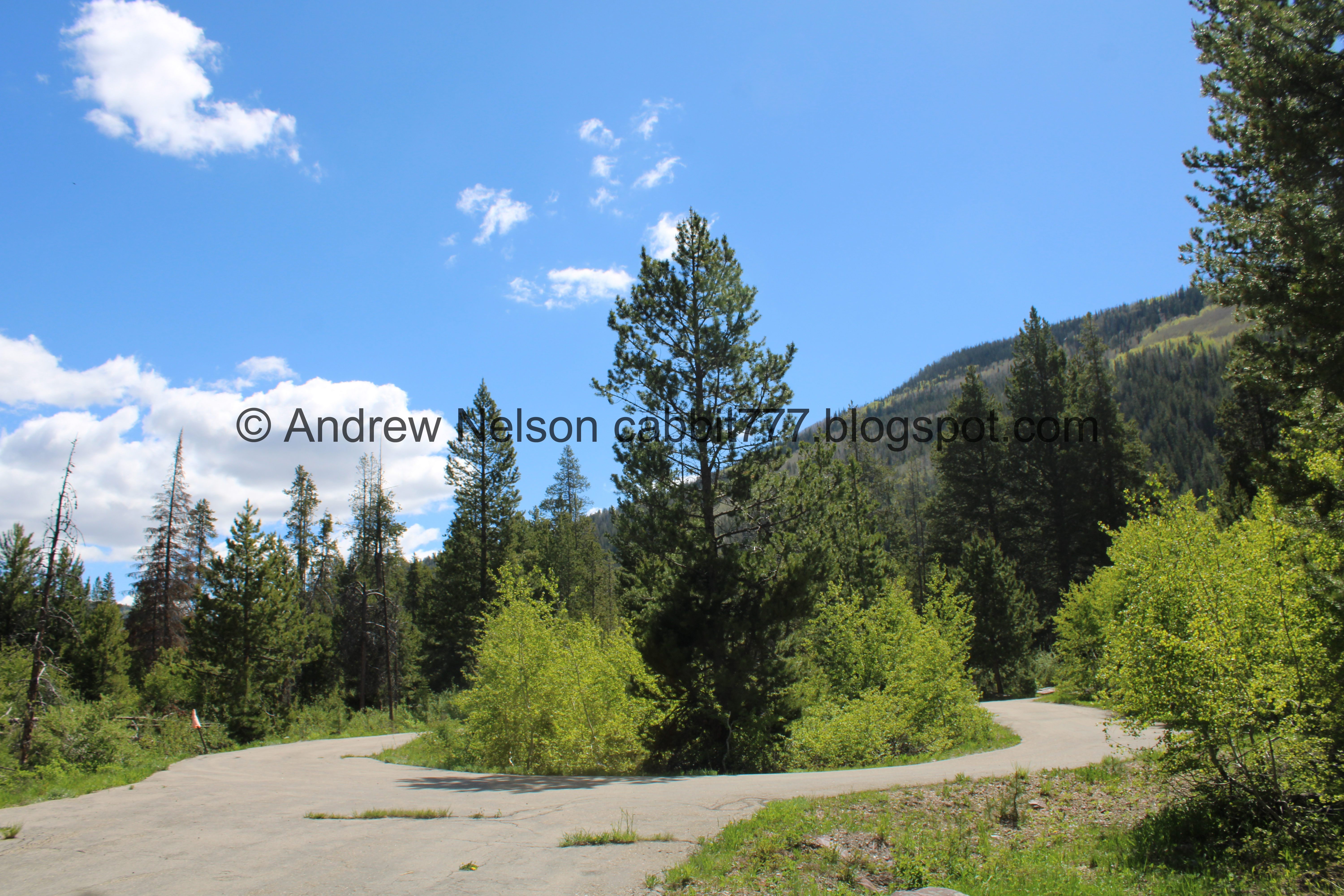
Our little deserted loop.
The little creek again.
The hills above.
Today we decided to go see a few things. I had a long list of things we could do, or even redo but with our friends, but, eh, the friends were not up for much, so I decided we would do 2 quick little things.
Heading up the canyon (PSP).
We went on a wild goose chase looking for the Duchene Tunnel, but eventually found it. More details here.
Continuing up the canyon (PSP).
It is just so pretty up here (PSP).
A peak peeking up over the ridge (PSP).
We stopped by the Provo River Falls Overlook and explored that some. More at the link.
Then, since we ran into some snow there, we decided we didn’t want to go much further up and decided to head on back.
Some little roadside waterfalls (PSP).
Heading back down (PSP).
Pretty forest (PSP).
We decided to head back into town to get some more supplies.
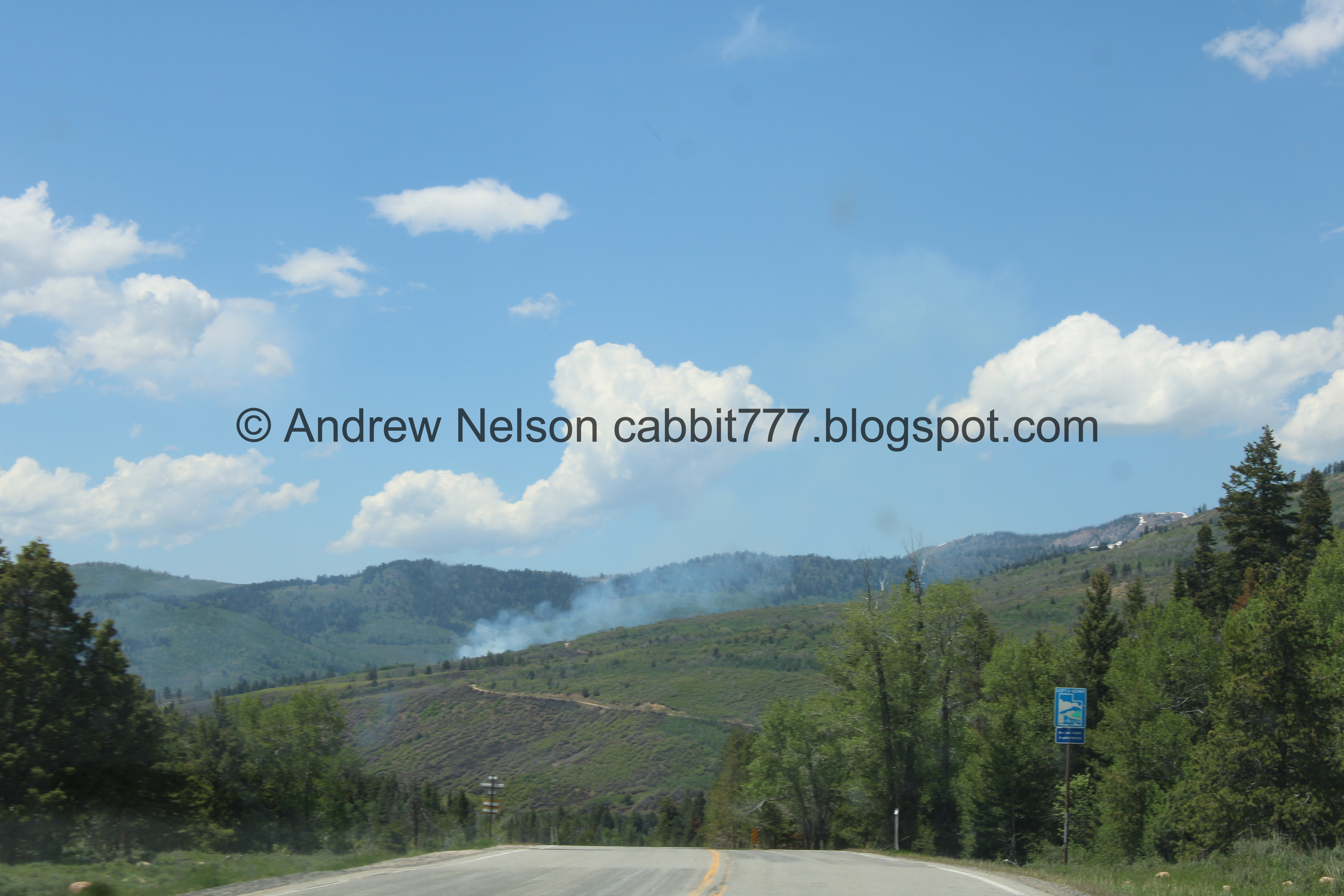
There are a couple of prescribed burns happening, with signs advising not to report them (PSP).
Another (PSP).
The first one again (PSP).
From the side (PSP).
More of the scenic highway (PSP).
I just love how green and pretty it is up here (PSP).
Back down to Kamas (PSP). I am sad, the old amazing burger joint is now a coffee and soda shop. I am sad the burger joint didn’t make it. They had good burgers, and amazing shoestring fries.
Well, we got the supplies we needed, time to head back up to the campsite.
Heading back up (PSP).
Pretty green hills (PSP).
One of the prescribed burns again (PSP).
Pretty meadow (PSP).
The next prescribed burn (PSP).
The canyon the Provo River goes down again (PSP).
The Provo River again (PSP).
Back to our campsite. After hanging out with our friends for a bit, we decided to explore our local woods again.
The bigger creek, or what I think might be an overflow creek off of the Provo.
Downstream.
Large fallen tree.
Which created a void for a little pond.
The root ball.
The bigger creek again.
The Provo River through the trees again.
The pups decided to get in.
Some rapids.
Upstream.
The little spring again.
Wild strawberries.
Cliffs on the other side of the canyon.
Oregon grape.
White flowers.
The smaller creek.
Really bizarre looking spider.
My friend noticed a little trail in the middle of the campground so we decided to go check it out.
Creek and forest.
The trail my friend found.
The creek. I am pretty sure this is the same one next to out campsite.
Forest.
The creek again.
The creek back at our campsite. Sadly the little trail was nothing more than a trail from the front to the back of the campground. But hey, we explored a bit.
I love when the pine trees start seeding and look like they are flipping you off.
Pretty pink clouds at sunset.
Shortly after sunset while we were hanging out I noticed something strange on my friends head. I wish I had tried to take a picture, but I probably spent a good minute trying to understand what I was looking at and just as I opened up my mouth to say dude, is that a bird on your head? it flew off and I said IT WAS A BIRD ON YOUR HEAD!
He said he felt something, but thought it was just a breeze, and then he felt it take off again. He was wearing a camo hat.
I donno, it was super funny in the moment, I just wish I had made an effort to try to get a picture.
Campfire.
We had a fun time at night. The night sky was clear and we saw so many stars, and then a few satellites. Which my friends had never seen, so they were a bit in awe, which got us to talking about Starlink. We were telling our friends that they had to see that sometime because it is something else. I lamented that we were out in the boonies and did not have any service so I could not tell if we would see it tonight. And then, not much later Landis spotted it! So our friends got to see it for their first time, which was kind of fun.
Day 3.
We found some hounds tongue in our campsite.
View up canyon.
The smaller creek.
Mickey is so filthy after rolling around in the dirt for 2 days.
Fun clouds.
A corn lily that hasn’t bloomed yet.
Some kind of hawk soaring above.
The forest again.
Oregon grape.
The ridge above.
Another storm coming in.
The creek again.
Weird fluffy tree.
Alright, that was a fun camping trip, but it is time to head on home. The doggos were more than ready to go home. In fact Mickey kept running up the driveway and looking back at us like.. hey.. can we go home now?
Heading back down the Mirror Lake Highway (PSP).
We did a quick stop at the Provo River Overlook.
Back on the highway (PSP).
One of the prescribed burns again (PSP).
Mountains and clouds (PSP).
Fun clouds (PSP).
Nearing the mouth of the canyon. It is so green and pretty (PSP).
Just past Kamas (PSP).
Deer Valley (PSP).
Jordanelle again (PSP).
More fun clouds (PSP).
Heading up to Parleys Summit (PSP).
The wildlife overpass at the summit (PSP).
Heading down Parleys Canyon (PSP). I really am not a fan of this road.
Pretty green hills (PSP).
Nearing the bottom (PSP).
The mouth of the canyon (PSP).
Suicide Rock (PSP).
The Salt Lake Valley (PSP). Phew! It is good to be home! But dang, we came back to a heat wave and it is unseasonably hot!
Well, that was a successful and fun camping trip with our friends. It has been quite a few years since we have managed to go camping, so I was glad we managed to make it happen. I actually slept really well. The heatwave sucked in the valley, but made it pretty comfortable up in the mountains. Our campsite was perfect and felt very isolated. The closest neighbors were a good 50 yards away or so. Plus we had a stream right by, and another not much further away, with some pretty woods. It was just about perfect. 10 out of 10 squirrels.
Dogs are allowed, leashed.
.jpg)




.jpg)