.jpg)
Ghost Falls is a small waterfall located within Corner Canyon in Draper. The trail features a lovely forest with wildflowers and wildlife as well as some great views. Corner Canyon has a massive web of trails so there are multiple ways to get to Ghost Falls I have decided that the Canyon Hollow Trail is the best, and the Lower Canyon Road is the next best. We decided to go up the road today.

Quick Details:
Length: We did a 2.9 mile loop today.
Trail Type: Loop, out and back options.
Difficulty: DR3. It is a pretty mild climb.
Elevation Gain: About 630 Feet.
Restroom: Flush toilets and running water.
Dogs? No. not above the Bonneville Shoreline Trail (BST), which most of this trail is.
Other Info: Best access is at the Coyote Hollow Trailhead. Also, there is a massive web of trails in this canyon. It is signed pretty well, but if it your first time you might want to have a map handy.
To Get Here:
Take i15 to 14600 south in Draper and head east. Turn right on Traverse Ridge Rd. Turn Left on Mike Weir Dr. Turn right on Pinion Hill Ln. an immediate right on Canyon Vista Dr. An immediate left on Gray Fox Dr. and an immediate right onto Cayote Hollow Ct. Take that to the end to the Coyote Hollow Trailhead.

I love these Hikers Only signs.
The Trail:

Trailhead kiosk. The trail is just to the right of this.

Immediately after starting the trail you will hang a left.

You can go either way here. The Canyon Hollow Trail is to the right, or follow the BST to the left to get to the Lower Canyon Road. We did the latter today.

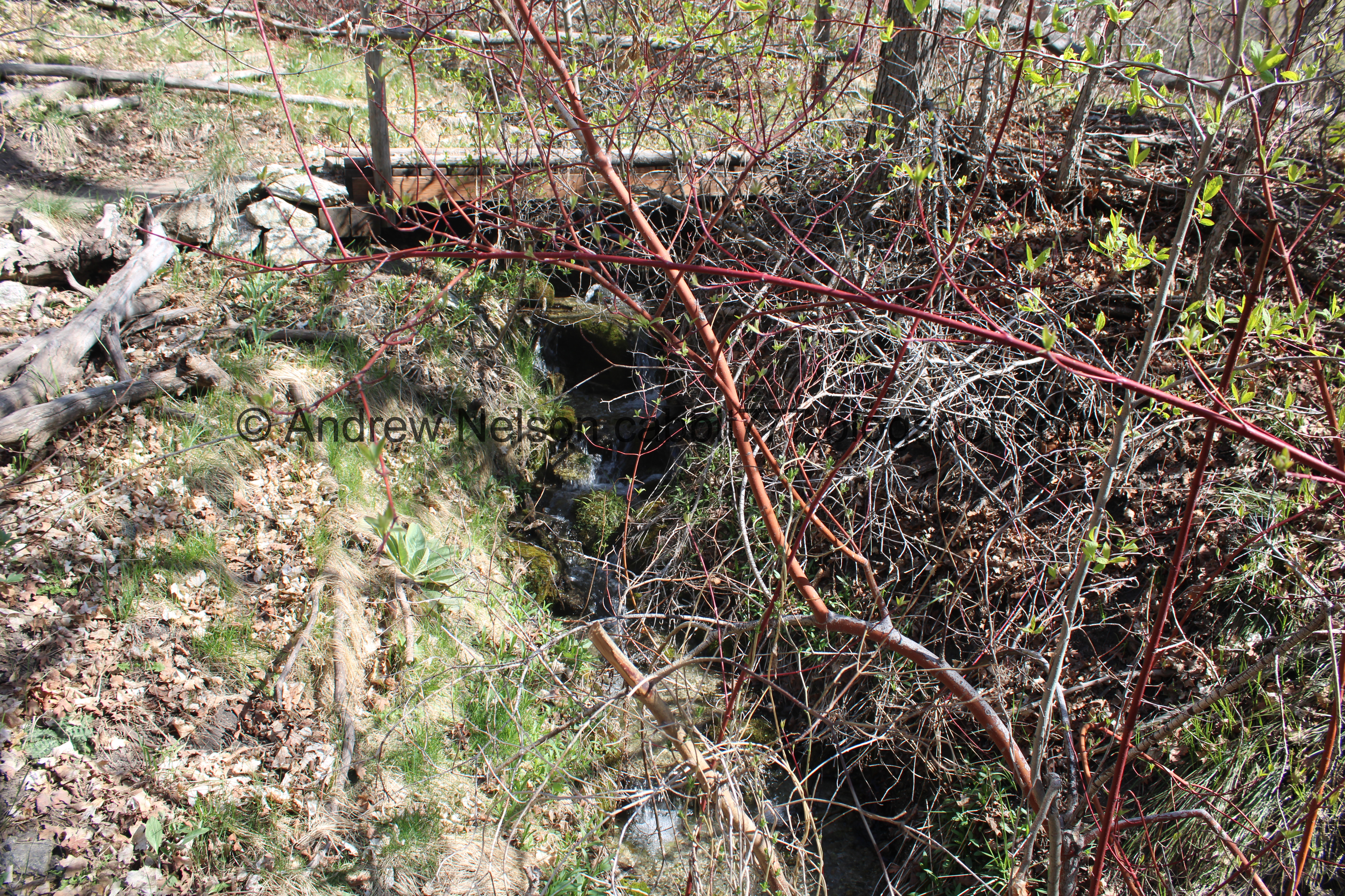
One of a few creeks that feed Corner Canyon Creek. I am not sure if this one is named or not.

Lovely forest.

The creek again.

The Creekview Trail.

The only problem with deciding to go up the Lower Canyon Road is that we lose some elevation before gaining it right back.

The little creek again.

Box Elder Peak peeking up over the canyon.

Burnham Gorge.

At about 3/10 of a mile we reach the crossroads. We’re going to take a right to head up the Lower Canyon Road.

The Silica Pit. We will get a little closer to that on the way down.

Another trail kiosk.

Heading up the Lower Canyon Road.

Things are starting to green up!

Corner Canyon Creek.

Burnham Creek Trail. I can’t find much information about it, but we might have to check it out sometime.

More forest.

Some kind of water facility.

The creek again.

Trail signs. You absolutely can get to Ghost Falls to the left as indicated, but, I don’t particularly like that trail, so we are going to stay to the right towards the Canyon Hollow Trail.

The creek again, with a ducky friend!

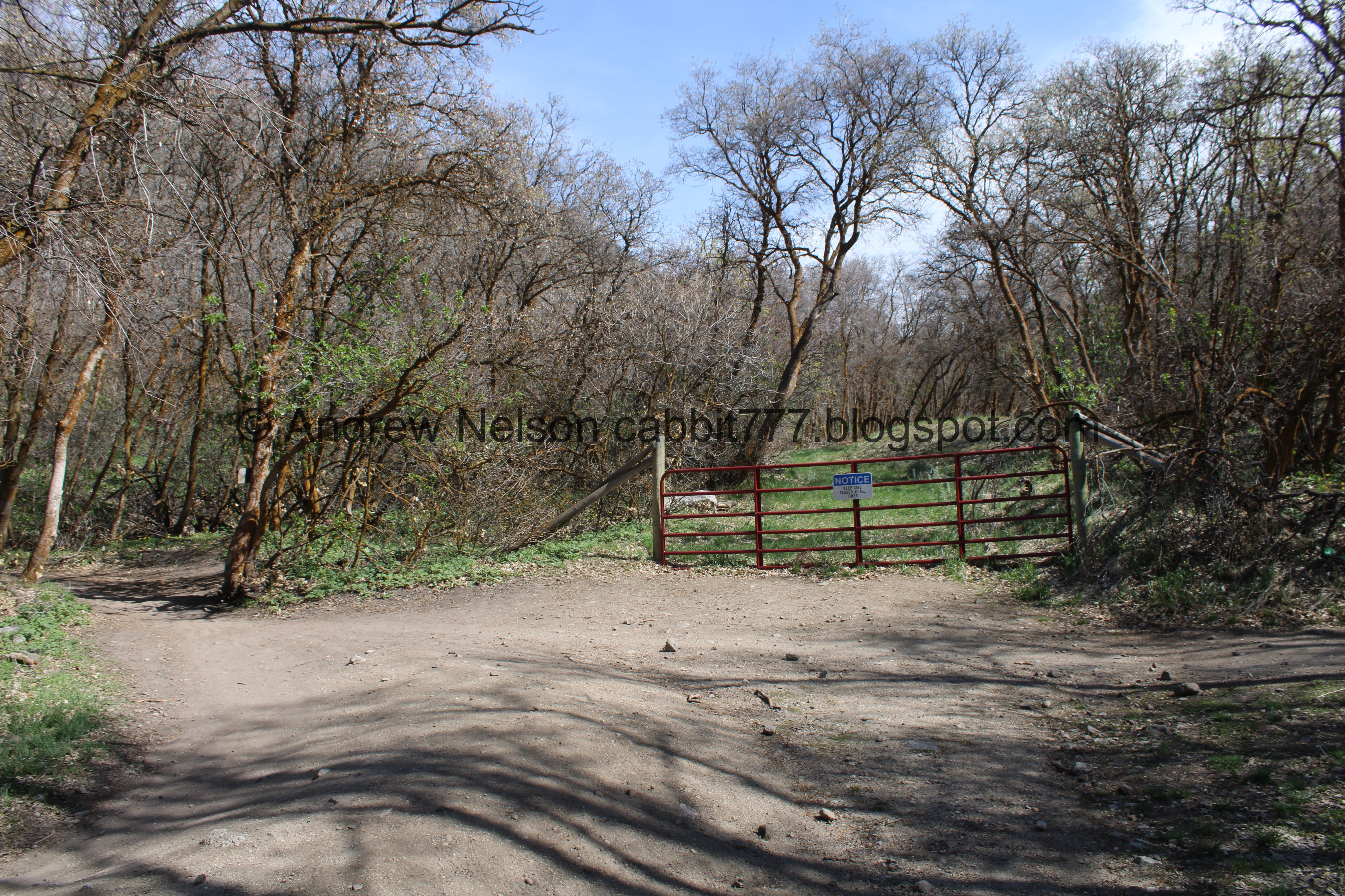
The 1st of 4 gates. Most have bypasses, and all are easy enough to open if you need to. Just remember to close it after yourself.

The old road is a bit overgrown through here.

Another smaller creek. I am pretty sure this comes out of Memorial Cove.

This short segment is the steepest part.

More climbing.

View of the valley below.

The 2nd gate, which has an easy bypass to the right. After this the Lower Canyon Road becomes the Canyon Hollow Trail.

Continuing up.

Again, this trail will get you to Ghost Falls, and again, I am not at all a fan of it. So, we will stay on the Canyon Hollow Trail to the right.

Continuing up.

This split for Canyon Hollow will get you where you want to go, and is the easier going, and prettier route, but we decided to keep along the Lower Canyon Road to the right for just a little longer.

Glacier lilies. Yay! These are my personal sign that spring is here.

Continuing up.

Gate number 3. There is a work around to the left.
Gate number 4. You do not need to pass this one instead you will follow the trail to the left. Again signed for Canyon Hollow.

The first of 4 bridges.

Over a pretty deep chasm.


The forget me nots are coming in strong.

More forest.

View down again.

More glacier lilies.

More forget me nots.

You want to take the trail to the left here.

There is a sign, but it is set back a little bit.

More forget me nots.

Forest.

Glacier lilies lining the trail.

Car wreck.

Another one.

Itty bitty waterfall.

A random bathtub.

Forest.

More glacier lilies.

The 2nd bridge.

Crossing over a small side creek..

The 3rd bridge. Pay attention to the signs here, Ghost Falls is just to the left after this bridge.
Another small waterfall.

The 4th bridge is just in front of the waterfall.

WHOA!!!!! It is gushing so much right now it created a twin waterfall! I have never seen it do that before.

The main waterfall,

I like this little welcome sign, which is somewhat new.

It was hard to get both falls in one photo with the foliage. But, main falls to the right, and it’s high run off twin to the left.

This new twin is running down what used to be a steep trail that you could climb to see the top of the waterfall.

The main waterfall.

I am not 100% sure due to the angle, but I think that is a money plant.

Beware of poison ivy. I finally found a 2nd local place that has poison ivy warnings and that was in Hidden Hollow.

Twin falls.

Again.

The main falls.

Both falls.

The main falls again.


Snake!

The twin falls again.

The creek.

With the waterfall.

Downstream.

Myrtle spurge. This is a nasty noxious weed and there is a bunch of it in this canyon. Avoid touching it as it can cause burns and rashes.

Both falls again.

Closer.

The overflow waterfall.

The main waterfall.

Where the overflow goes back to the creek.

Evidence that is was a little further down.

The creek again.

The twin falls again.

The creek and the bridge.

One last view from the bridge.

With the creek.
Alright, I wandered all over up here but we had our fun and it was time to head back.

Heading back the way we came across the lower bridge. The upper trail leads to the top of the canyon, a trail I have been meaning to checkout and just haven’t yet. Or, you can go the other way (more to the right) and head down on this side of the creek for a bit, but like I mentioned, I don’t particularly like that trail.

Google lens is saying these are Oregon grape, which does seem right.

The little waterfall under the bridge.

Another bridge.

Starting to green up through here.

Wrecked truck.

The other one.

More glacier lilies.

Forest.

Again.

The Hoof N Boot Trail crossing over the Canyon Hollow Trail. I thought about checking out that trail sometime, but eventually realized it crossed this trail several times. It looks like it meanders quite a bit, eh, maybe one day.

More glacier lilies.

This part is a little bit much, but it’s short and not too bad.

More forest.

The valley below. You can see The Claw at the far right.

The last bridge, unless you take the more scenic route, then there will be one more.

Back to the Lower Canyon Road.

The 2nd gate on the way down.

Continuing down the road.

At the 3rd gate you can continue down the Lower Canyon Road to the right, or continue down the Canyon Hollow Trail to the left. We decided to go left.

View down canyon. You can see what I have been assuming is the corner in Corner Canyon.

The valley again with Farnsworth Peak in the distance. It was named after Philo Farnsworth, inventor of the first fully electronic television. There is a statue of him in the Utah State Capitol which I have been meaning to see, but haven’t yet.

This side canyon is greening up a little faster than the rest of the trail.

It is the canyon for Memorial Cove. I didn’t get a picture of the cove because they was a crowd of people there at the moment.

The creek leaving the cove.


It sure is pretty through here though.

The little creek below.

Less green forest.

Burnham Gorge again.

The valley below again.

Another mess of trail splits. You want to stay on the middle path, just right of the fence.

The valley again.

Burnham Gorge again. It sounded like there was a waterfall in there. I might have to check it out sometime.

The Lower Canyon Road again.

Yes, there is definitely water flowing down that gorge.

First glimpse of the Silica Pit.

Fun fuzzy plant.

The Silica Pit.

I love the colors mixed into the white silica.

The pit again.

Again.

Burnham Gorge again.

Looking down at the crossroads again.

The valley again.

Short bit that is slightly uphill again. Still a little better than if we had gone down the road, as the up bit would have been a bit more up.

Weird container that sounds of flowing water. Not really sure what it is.

More greening up!

I love these “There is no Poop Fairy” signs.
Back to the trailhead.

This particular house is situated perfectly between the peaks and probably has a pretty optimal view.

The valley again as we head home (PSP).
Well, that was fun. I was really surprised and impressed to see the waterfall overflowing so much that it is currently a twin waterfall! It was a little busy today, but not too bad. I also really enjoyed seeing the canyon starting to green up, and the wildflowers starting to come up as well. Going with 10 out of 10 Squirrels today.
As for difficulty, it was a little bit of a climb, but not awful. DR3.
Dogs are not allowed above the BST, so best to leave Fido home for this one.
