.jpg)
I am pleased to announce the shuttle service is back! Although now instead of being voluntary donation based it is $5.00 per person. I really don’t mind that as I tend to like to take the shuttle up and hike down the meadows. If you don’t want to take the shuttle can hike up and back down.
Note: for the 2019 season Albion Base is closed so the shuttle is temporarily located at Wildcat Base. And I am pretty sure you can’t park at Albion Base either.

Quick Details:
Length: The Upper Meadows are about 1.5 miles and the Lower Meadows Trail is .5. And there is a connector trail that is about .2 miles (which can be skipped if not using the shuttle or connecting to another trail) for a total of 2.2 miles.
Trail Type: Point to Point with a shuttle or out and back. Additional connection options.
Difficulty: DR3. It has a few steeper spots but it’s not bad and is nice and wide.
Elevation Gain: The map says 110 ft plus 100 for the lower meadows, but my app put it at 849 ft. Not sure which is correct.
Restroom: There a pit toilet at the Cecret Lake TH or flush toilets at the Albion Base or porta potties at Wildcat Base.
Dogs? No. Little Cottonwood Canyon is watershed.
To Get Here:
Head to the top of Little Cottonwood Canyon. Normally you will go to the 2nd, Albion Base for Alta, but right now you will use the first, Wildcate Base. This will force you to add the half mile Lower Albion Meadows Trail but its super easy.
The Trail:
After finishing the amazing Devils Castle Loop we decided to finish the day out by continuing the the Albion Meadows trails. From the Cecret Lake Trail head you can either go down the road to the north, or down a forested trail to the south. I think the short forest section is prettier.

Started this trail with a lovely columbine.

Now we are on familiar trail.

I think enough of the headwaters have combined to say this is Little Cottonwood Creek.

Another little waterfall.
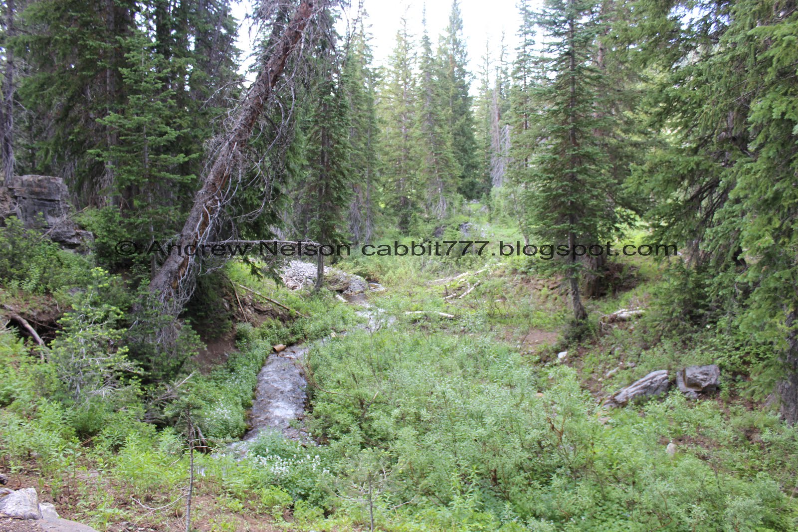
The creek again.

Little meadow. We often see moose through here, but not always, and not today.

Nearing the bottom of the new Cecret Lift and Alfs. They seem to be doing some work on Alfs.
After Alfs you have another choice to take the upper route or the lower route. I generally keep to the upper route.

Devils Castle and Sugarloaf Peak.

Beautiful view down canyon.

Well the top of the meadows is pretty.. meh.

More paintbrush.

Squirrel, prairie-dogging.

I’ve seen squirrels stand like this before, but this guy was doing it for quite a while.

Geraniums.

Catherine Pass.

Devils Castle.

A little further down the wildflowers are starting to really pick up.

The wide trail.

Devils Castle and Sugarloaf Peak again.

With some phlox and spearmint.


There are a couple good patches of wildflowers.

Spearmint.

More flowers.

Looking towards Germania Pass. I don’t recall there being two waterfalls up there.

More flowers.

The double waterfall again.

More flowers.

Another geranium. Landis asked me what this one was and I said geranium. He then said that’s weird, it sounds too close to Germania Pass (that he had asked about earlier). I kind of stopped and said, you know, that might not be so much of a coincidence. Honestly I have no idea but it does seem to make sense.

More geraniums.

Devils Castle and Sugarloaf Peak again.

With some flowers.


Different paintbrush species.

With the peaks.

Still another mile and a half to go.

Flowers and Devils Castle.

More flowers.

Some nice coverage on the hills.

Lupines.

There are so many yellow many-petaled flowers that it is really hard to identify them but I think this is a balsamroot or maybe mule-ears.

I still want to know if this peak has a name. Considering Germania Pass is behind it I want to call it Germania Peak, but, I don’t know if that is what it is officially.

Penstemon.

Old microwave tower.

I think this is a scarlet trumpet, but white.

Nearing the Albion Base.

Bluebells.

Nearing the Sunnyside and Albion ski lifts.

A particularly pretty geranium that has a bit of damage.

Little Cottonwood Creek in the deep gully below.

This is an interpretive trail and has some good informative wildlife signs along the way. This is a snowshoe hare. We saw a bunch of those last year at Jordan Pines.

Tiny little dust devil.

Looking down canyon.

In previous years this would be where we parked. But, construction. So, we had another half mile along the Lower Albion Meadows. I have been meaning to check out this short trail anyway, so yay.
Lower Albion Meadows

This looks pretty mild going.

Yeah, pretty flat.

Mountain above.

At first I thought these were bunny slopes…. but eventually I realized they seem to be direct lines to the hotels above. And then we pieced together that the lift we are following is likely an extension of that to to the main lifts like a winter subway service. I decided to look up their winter map and it is called the transfer tow. Neat.

Confirmed by the next lift which was labeled as the Rustler Lodge Lift (and well, looking at the winter map too).

Peaks above.

Another direct to hotel lift. This is really a neat system of lifts they have up here.


Some elephant heads. I love these guys.

Monkshood.

Nearing the end.

The transfer tow again.

Collins Gulch, and you can see Mount Baldy up above.

Little closer.

The gate to prevent cars from driving up here. Almost back to the car.


Some of the buildings at the Wildcat Base.

Looking towards Cardiff Pass.

Back to the parking lot and looking down Little Cottonwood Canyon.

Heading down the canyon (PSP).
We were both starving so we decided to stop in at Snowbirds Tram Club for a quick casual dinner. Less options than I anticipated, but it was pretty good.

Back to driving down the canyon.


I love the wide U shape of Little Cottonwood Canyon (PSP).

As long as I can remember, there has always been a stick wedged under this boulder as if it is holding it up (PSP). The stick has changed quite a few times over the years, but I love that the tradition continues. As if to say “this rock will not roll!”. Honestly though, that rocks not going anywhere, anytime soon.

The mouth of the canyon (PSP).
I do enjoy doing this trail, and particularly enjoying doing it only from the top down. I was devastated last year when the shuttle was temporarily discontinued, so happy to see it back. The wildflowers are absolutely unbeatable this time of year and are really something special. They probably have another week or so until peak showiness, but they were still lovely. Not too crowded today either. 10 out of 10 squirrels.
As for difficulty, it's pretty steep but doing top down you will barely notice that. If you do bottom up though, you might notice it more. It's also mostly full sun so be aware on a hot day.
Dogs are not allowed in Little Cottonwood Canyon is it is watershed. Be sure to leave Fido at home.
