.jpg)

Quick Details:
Length: 1.6 Miles to the lake (3.2 out and back) plus whatever you do at the lake.
Trail Type: Out and back or balloon.
Difficulty: DR3
Elevation Gain: About 500 feet.
Restroom: They are putting in a new pit toilet at the new trailhead. In the meantime there is a porta-potty.
Dogs? Yes, however that is currently under review. Years of abuse by people who can’t be bothered to clean up after their dogs is threatening to have this great lake go dog free. Don’t let that happen and please clean up after your dogs.
To Get Here:
From the Salt Lake Valley the easiest route is to head up Big Cottonwood Canyon. Go all the way up almost to Brighton and turn left at the signed turn off towards Guardsman Pass. If you miss it, not a big deal, it’s just below Brighton which is a loop and will get you back to it (now it would be a right), Go up over the pass. About a mile below the pass is the Bonanza Flats parking lot on the left. The trailhead is across the road. But it’s a good spot and you can see both ways pretty well.
I did notice there were signs saying ‘Temporary Bloods Lake Parking’ which made me wonder if there are plans for another lot?

Heading up Big Cottonwood Canyon (PSP (Passenger Seat Photography)).

The signed turn off (PSP).


So pretty through here (PSP).

Near the pass there are a couple spots that I don’t particularly like, but it’s not horrible (PSP). I am just happy I have Landis to drive.

Guardsman Pass (PSP). They are currently doing some remodeling so you can’t stop up here and the area is closed. That didn’t seem to stop people from using the old trail. But I was not able to verify if they have closed the old trail yet, or if they ever will. I suspect they will though. As erosion was one of the main concerns.

The view into the Heber Valley (PSP).

The Bonanza Flats parking lot is currently not paved (I suspect they probably will eventually) but it is very large. You can also see the pit toilet they are building and the temporary porta-potty The trailhead is across the road from the restroom.
The Trail:

The trail is clearly signed, but currently doesn’t have any information posted.

The Pilko Family donated a ton of money to make the new trail. I absolutely appreciate it. Thanks guys!

We just started the trail and I can already tell I am going to like it better. Such a pretty forest already.

Geraniums.

Chickweed.


Different kinds of paint brush.

The new trail is nice and wide, and very clearly defined. They did a really good job on it.

Lots of paintbrush.

Forget me nots.

A couple spots open up and allow you to enjoy the view.

Loads of wildflowers.

The Heber Valley below. I think that is Midway we can see down there.


Back into the forest.

Pretty aspens.

Bluebells and forest.

One of 3 or so little clearings.

The pretty mountainside.

Now the forests switches from aspens to conifers.

Looking up.

The valley and stream below.

Looking down canyon.

Fresh cut trail.

Another small clearing.

Back into the thick woods.

Looking up again.

Peaks above. I think that is Clayton Peak to the right. Not sure on the one to the left.

Not sure what these are, but they are pretty.

Pretty view across the canyon.

Pretty forest.

Lupine.

Bluebells.

Another geranium.

Trees hanging over the trail.

The valley below.

Different paintbrushes.

Without really having much information on the trail, I was certain we were close as we were about to hit the mountain. But no. Now we are nearing the real climb. This is about a mile in.

Scarlet trumpets.

Similar white ones.


Little spring.

There was a dry channel before and after the spring.

Wildflower covered hill.

Pretty paintbrush.

Now we enter a thick conifer forest.

I didn’t know it at the time, but the trail is going to take us up above that cliff.

Random patch of snow still hanging on.

Looking up.


Very pretty forest.

The creek that comes out of Bloods Lake.

There’s a little waterfall here that can hear, but can’t really see so much.

Now the real climb begins. The first switchback.


More of the pretty forest.

This elbow is the worst part. It is that cliff I mentioned earlier, in fact you can see the trail below. I didn’t like it, but was able to get past it.

Scrambling up.

There is a lovely view at the top though.

Then you are back in the forest and on another gradual switchback.

Another switchback. Sometimes switchbacks can be really bad but these ones aren’t.

Flowers.

Another view down.

Marsh area below.
I think this was the other elbow I didn’t like. It just had a steep drop, but was easy to get around. I think I took a picture of it on the way down.

And before you know it you are on flat ground again. Phew! I had worked myself up fearing the switchbacks were going to be intense, but aside from the 2 elbows I mentioned, they aren’t bad at all. (I am afraid of heights, and I struggle on thin trails on steep slopes but this was fine).

Very nearly there.


Pretty forest.

The creek below. This is a sign you are really almost there.

Wildflower covered hill.

Peak 10,420. We are close!

There it is! Whew! we made it!
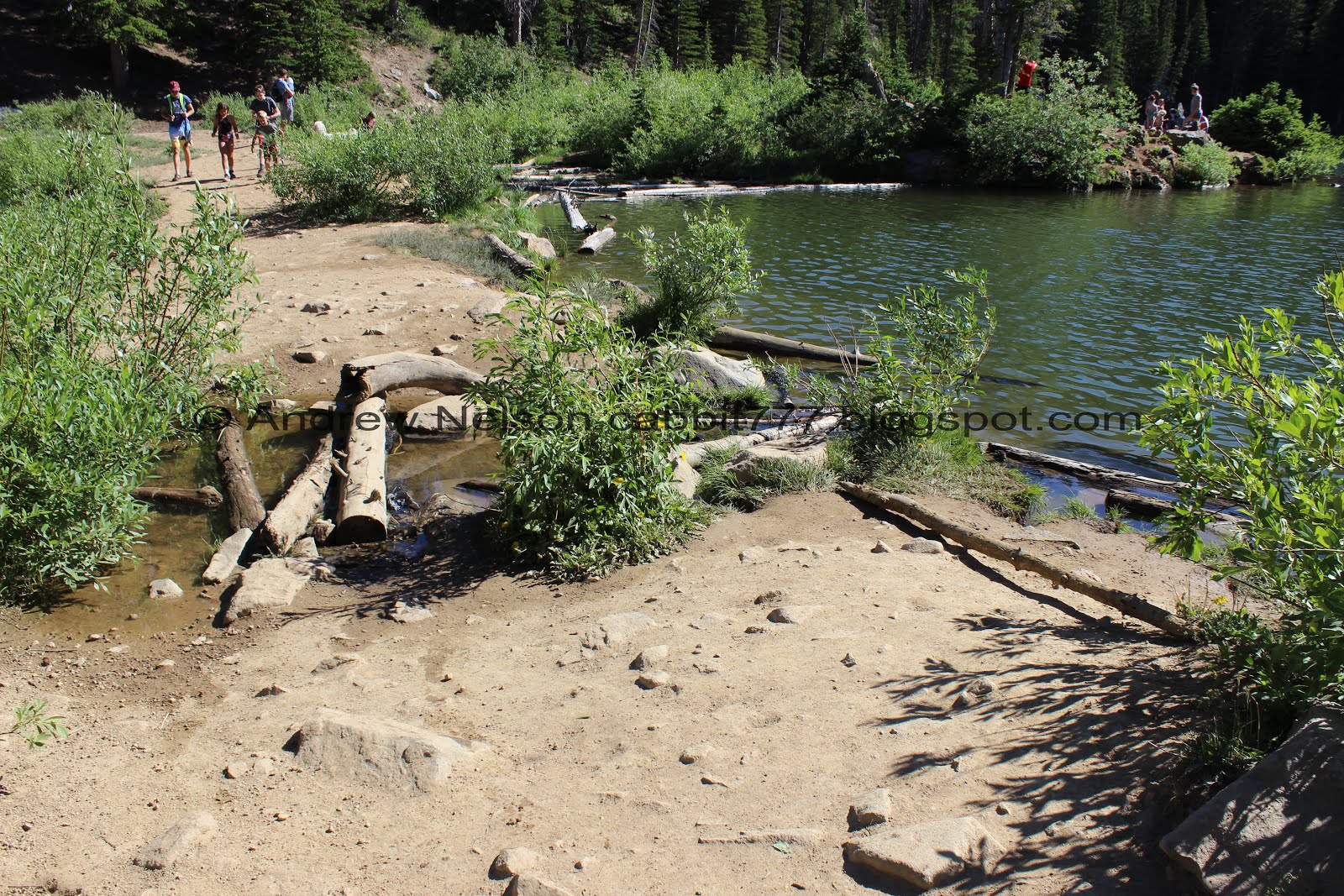
The outlet.

Bloods Lake below Peak 10,420.

Panoramic.

Another patch of snow.

The lake again.
We wanted to find somewhere to relax and enjoy the lake but apparently we had sweated off the bug spray and the mosquitoes were absolutely ferocious!!! If we tried to sit still for even a second a half dozen landed on us. Although this is the worst experience with them I can recall, lesson learned. The bug spray is being moved into the hiking bag so we can reapply if needed.

Little fish hiding under the logs.
We probably just should have tried to continue around the lake, but we went around to the other side again.

More wildflowers.

The old trail. I noticed quite a few people were still using it. I don’t know if it is closed yet and they are ignoring that, or if it is still open.

The lake again.

Another panoramic.

More flowers. Looks like a buttercup.

Inlet stream.

More flowers.
The lake from the back end.

Another panoramic.
We were at the back end of the lake, and I suggested we just continue around, but Landis didn't want to cross the scree field, so we just returned the way we came. Judging by the mileage my pedometer app put in, I would guess it is maybe 5 to 7/10 of a mile around it.

The lake with some bluebells.

The lake again.

One last look at the lake.

Heading back down the new trail.

Back into the woods!

Pretty penstemon.

More of the pretty woods.

Neat triple tree.

These look like scarlet trumpets but they are white.

This was the other elbow that I didn’t like. But as you can see the trail is wide and it’s not that bad.

We heard some loud snapping noises and were looking around to see what caused it, before watching a tree fall above. It was really loud! You know, in all the time we spend in the woods, this is the first tree fall we have witnessed. It was a little intense!


Pretty forest.

View down again.

Some beautiful columbines. One of my favorite wildflowers.

Back down to the other, worse elbow. Oi.

But it is super short and before long you on on solid ground again.

More pretty forest.

The stream again.

More pretty forest.

Looking up again.

The cliff we hiked over.

Pretty paintbrush.

I swear I thought I was hearing monkeys, even knowing uh, well, Utah doesn’t have monkeys, we eventually saw these birds screaming like monkeys.

The meadow again.

Another geranium.

More pretty forest.

Lupine.

Pretty aspens.

Looking up.

Looking out across the mountains.

I don’t think I have ever seen this many columbines clumped together before.

Found a pair closer to the trail.

Forget me nots.


Pretty aspens.

Starting to see the road again so we should be near the trailhead.

Bluebells.

Closer.

View down into the Heber Valley again.

Panoramic of the mountains across the way.


Phlox.


Indian paint brush.

Back down to the parking lot.


Some primrose.

View below the parking lot.
Usually when we head up towards Guardsman Pass we continue down the other direction, but today we decided to just head back the way we came.

Heading back up towards Guardsman Pass (PSP).

The actual pass (PSP).

Below the pass with peak 10,420 (PSP).

Scott Hill (PSP).

Heading down Big Cottonwood Canyon (PSP).
I really like the new trail and parking lot. It is so pretty going through the different forests and enjoying the wildflowers. For such a brand new trail it is awfully popular already though. Then again, this is one of only a handful of alpine lakes this close to the city that (currently) allows dogs, and is the easiest one to reach. The switchbacks weren’t bad except for 2 of the elbows However I am going to take 1 squirrel due to the mosquitoes, holy crap were they bad! 9 out of 10 squirrels.
As for difficulty, the first mile is pretty level. The last bit is pretty well graded switchbacks. DR3.
Dogs are currently allowed, but that is under threat due to people failing to clean up after themselves and their dogs. If you enjoy having this lake for your dogs do your part to keep the trail nice and clean.

No comments:
Post a Comment