.jpg)

Quick Details:
Length: About 4 miles out and back, with a shorter option should you chose to drive to the upper TH.
Trail Type: Out and Back
Difficulty: DR3. not too bad.
Elevation Gain: About 1500+ feet.
Restroom: Uhm… questionable? Not at the TH but there is a random old outhouse on the trail. Not sure if it is still operational. I wouldn’t plan on it. Closest one I can think of is at Silver Lake just a bit up canyon.
Dogs? No. Big Cottonwood Canyon is watershed.
To Get Here:
Drive up Big Cottonwood Canyon and turn into the first Solitude Ski Resort parking lot. Park at the far west end of it. You will see a trail at the SW corner of the lost, use that and head west.

The haze from the California Wildfires is particularly thick today (Passenger Seat Photography (PSP)).

The scrub oak near the mouth of Big Cottonwood Canyon is definitely starting to change (PSP). It seems a little early, but this has been a dry year.

Nearing the S curve (PSP).
The Trail:

It begins at the far west end of the lower Solitude parking lot.

Looking across Big Cottonwood towards Willow Heights.

Well I’ll be, wildflower season isn’t completely over yet. Some daisies.

Trail split. The wide path to the left appears to be the Queen Bess Trail, which leads to the Honeycomb Cliffs. I thought about trying that one out today, maybe we will come back and check it out. Anyway, you want the thinner trail to the right.

Very quickly you will find yourself on a paved road. You can shave about 3/4 of a mile of the hike if you are willing to drive up this. But it is super thin and kind of scary looking. So, I don’t mind walking it.

Plus, as far as forested roads go, it is quite pretty.

Pretty forest.


More pretty forest.

Oh, they appear to be making progress on the new retreat.

It was supposed to open in 2017.

Eventually the road turns to dirt.

The small parking lot below the official trailhead. This is about 3/4 of a mile in.

More lovely forest.

The official trailhead sign is at about 9/10ths of a mile in. Just a mere 3 miles to go! (Spoiler, we did not get that far today).

Then you just have to go around this old gate.

More lovely forest.

More daisies.

The random outhouse. I have no idea what the deal is with this. I don’t see any nearby camps or anything. Anyway, I can’t imagine it is serviced so uh.. use at your own discretion?

The first little clearing.

Bumblebee. There are a TON of them up here, all hard at work with the flowers they have left.

Pretty white butterfly.

Pretty yellow flowers.

More busy bumblebees.

Last year I confirmed a random internet fact I learned, that some bees will take a nap in flowers. Today I learned that bumblebees will nap in flowers too! OMG this is freaking adorable. It is amazing the wonders you can see when you take the time to look closer.


Although his nest mates might consider him to be a lazy POS.

The dry creek bed.

Weird triple/possibly quadruple western cone flower Siamese twin.

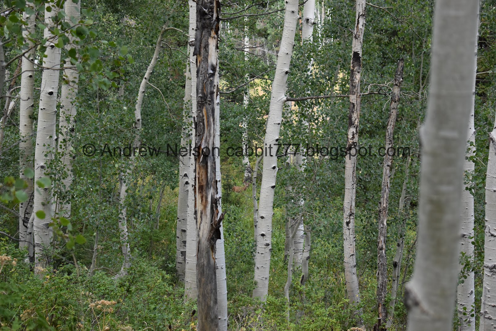
Aspens.

More bumblebees hard at work on some daisies.There are really a LOT of bumblebees up here.

First view of the Honeycomb Cliffs.

I love the color on this paintbrush. Probably the last time we will see paintbrush for the year.

Trail split. Previously, we have only done the double track to the left, which leads to an old closed mine, today we decided to check out the right trail. FYI, the left trail does reconnect to the right trail if you want to see the old mine, and continue up.

The Honeycomb Cliffs again. I finally figured out why they got that name! Apparently the cliffs are gritty, like sugar and there are fins that look similar to natural honeycombs.

Above the big clearing.

Thinner trail though the trees. We still had room to step aside if we needed too, luckily nobody came by.

Aspens.

Pretty purple leaves. I wonder what kind of plant this is. Purple isn’t a common leaf color. After looking at other plants nearby it might be Virginia creeper.

Twin trees.

Smaller tailings pile.

It looks like the mine has caved in, or been filled in.

The big clearing below again. The old mine is hidden behind some trees to the right of the cliff.

With the honeycomb cliffs.

I think this might be Virginia creeper. Whatever they are, they show some of the first signs of autumn.

View down canyon.

Another tailings pile.

The tailings pile for the main mine, which is hidden just to the right here.

From here, the trail really starts climbing!

It’s pretty up here though.

View down canyon.

Narrow shallow canyon. The creek would run though here.

The creek bed.

I bet that would be a nice waterfall. We might have to come back in the spring sometime.

View down again.

These sad looking paintbrushes have a slight purplish color.

Another small cliff face.

Lupine, seeding stage.

I bet this section would be particularly pretty during wildflower peak, which we seem to have just missed.

Little bit of lupine flowers left, but looking kind of sad.

More of the sad purple paintbrush. I am pretty sure they are not normally this color, just when dying off. But, I could be wrong.

The trail finally flattened off again in this really pretty clearing.

Super pretty up here.

Another napping bumblebee.

Old pipe.

Crossing the dry creek bed. Lets see, this is what the 3rd crossing?
Well, we made it about 2.6 miles up, or 1.7 from the official TH sign. We noticed the trail started to climb again and noted how late it was getting, so we decided to call it. I really wanted to get to the end of this trail, but it was not going to happen today. As it is we were close to sunset when we got back to the car, and both our legs are barking so, I am glad I didn’t push it today. We can always try again.

View downstream.

A little further downstream.

Back down to the small cliff. Some neat alcoves.

Oh cool, I caught it in action. I think this confirms my theory that the purple paintbrush starts out the red color on top, and dies off to the purple color below is correct.

Young aspens.
View down canyon.

Back down to where the waterfall would be if the creek wasn’t dry.

Some orange paintbrush.

View down again.

Yellow flower hanging on.

I noticed the bumblebees were coming back and forth to this hole. Bumblebees are pretty docile, but this was as close as I was willing to get (and it’s cropped) no need to trigger them wanting to protect their nest. Anyway, I never really thought about how bumblebees like to nest, I suspect these are Hunt Bumblebees and they do indeed nest underground. Learning all sorts of fun information today.

Old caved in mine.

More daisies.

Some yellow flowers.

The Honeycomb Cliffs again.

More aspens.

Back down to the big clearing.

Thick forest. And back to the double track old jeep road.

Some sad daisies.

Not sure what these are.

Mixed forest.

Another daisy.
Oh a deer!.

A little closer before she bounded off.

I was hoping to find another napping bumblebee, but they have all moved below the flowers for some reason.

Back into the aspens.

I wanted to say this is a moth, but the wings are so thin, I am wondering if it is something else.

Busy bumblebees.

I’m not 100% sure, but I think this trail connects to the Honeycomb Cliffs trail.

Under the flowers.

Probably the last geranium of the year.

Mixed forest.

Back to the smaller clearing.

Pretty forest.

Back down to the random old outhouse.


More forest.

More busy bumblebees.

Back down to the gate.


More forest.

Back down to the road.

More forest.

Oh! Hello friend.

Not as skittish as most deer, he just meandered away.

Thick forest.

The road again.

Looking down hill.

The road again.

Thimbleberries.

Look for the trail after the road curves to the left.

View across Big Cottonwood Canyon.

View down into the haze.

The Solitude Moonbeam Lodge (PSP).

Heading down canyon (PSP).

On the way down I spotted a moose and asked Landis to pull over. I am proud to say I noticed the moose before I noticed the couple of people observing said moose. They just confirmed I saw it haha.

This is our first moose sighting this year, so I was super happy.

She seems to be enjoying dinner.

Beaver pond.


Before long it started to get a little crazy. I have experienced wildlife jams in Yellowstone, and on Antelope Island, but this is the first one I have experienced in Big Cottonwood Canyon!

So, after one last shot, I decided it was time to continue down the road.

I thought the moose crossing sign was appropriate today (PSP). These are new additions as of last year. I still wonder if there was one incident that caused that, or multiple possible.

Last light on Storm Mountain (PSP).

Smokey valley (PSP).
That was a fun trail. It was a little tougher than I anticipated. However it was pretty, and there were not a lot of people. Plus we had a great wildlife day! I always like when that happens. Going with 8 out 10 squirrels today.
As for difficulty, before the mind is a pretty steady mild climb. After the mine who boy does it start to climb. DR4.
Dogs are not allowed in Big Cottonwood Canyon, so be sure to leave Fido at home.
