.jpg)
The Potato Hill Loop is a series of 3 trails that make a loop around Potato Hill draper. The trail features excellent views of the valley and some nice scrub oak forest. Its a pretty easy climb if you go the way that we did, I think it would be a little more tough to do it the other way. We have done this one a few times but we like it so we thought it would be a good last hike of the year.

Quick Details:
Length: About a 2.26 mile loop.
Trail Type: Loop, can do out and backs I suppose.
Difficulty: There is a bit of a climb, but it’s not too bad.
Elevation Gain: about 380 feet.
Restroom: Yes there are pit toilets.
Dogs? Yes, leashed.
Other Info: This trail starts at the top.
To Get Here:
From I15 Take exit 288, or 14600 S in Draper. Go left. Go almost a mile and turn right on Traverse Ridge Dr. About 2 miles later turn left into the small parking lot.
Go through the gate at the NW end of the parking lot and turn left. Signed for Red Potato Trail.

It is quite hazy today (Passenger Seat Photography (PSP)).

Approaching Potato Hill (PSP).
The Trail:

Potato Hill from the trailhead. I had planned on adding the summit today, as I understand they have made a new trail to it, but we ran out of daylight. So, next time. The new trail appears to be .14 miles. so its not very long, but I don’t know how difficult it is. Before it was kind of a scramble strait up the side.

Trailhead kiosk. The trail is to the right of this, and then an immediate left.

We will head down on the Red Potato Trail.

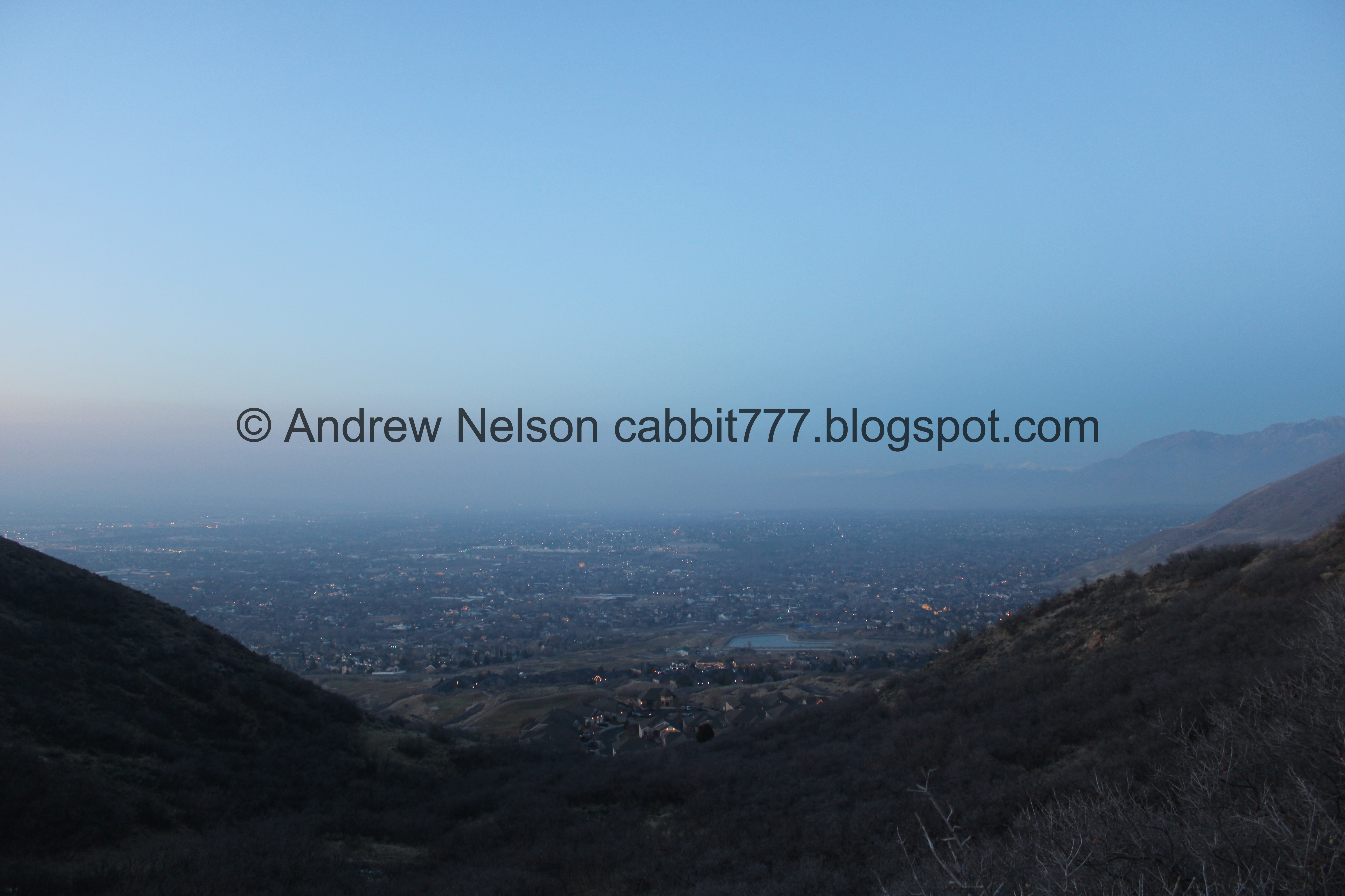
Not quite above the inversion today. Yuck.

The beginning part of this trail triggers my fear of heights a bit, but I am able to push through it. Seriously, the worst of it is at the beginning here, if you can get past this the rest of the trail is just fine.

The valley under a layer of smog.

The first switchback. After this the trail is pretty tame, except for one other short spot near the end.

It’s so gross it took me a while to locate The Claw which is left of center here.

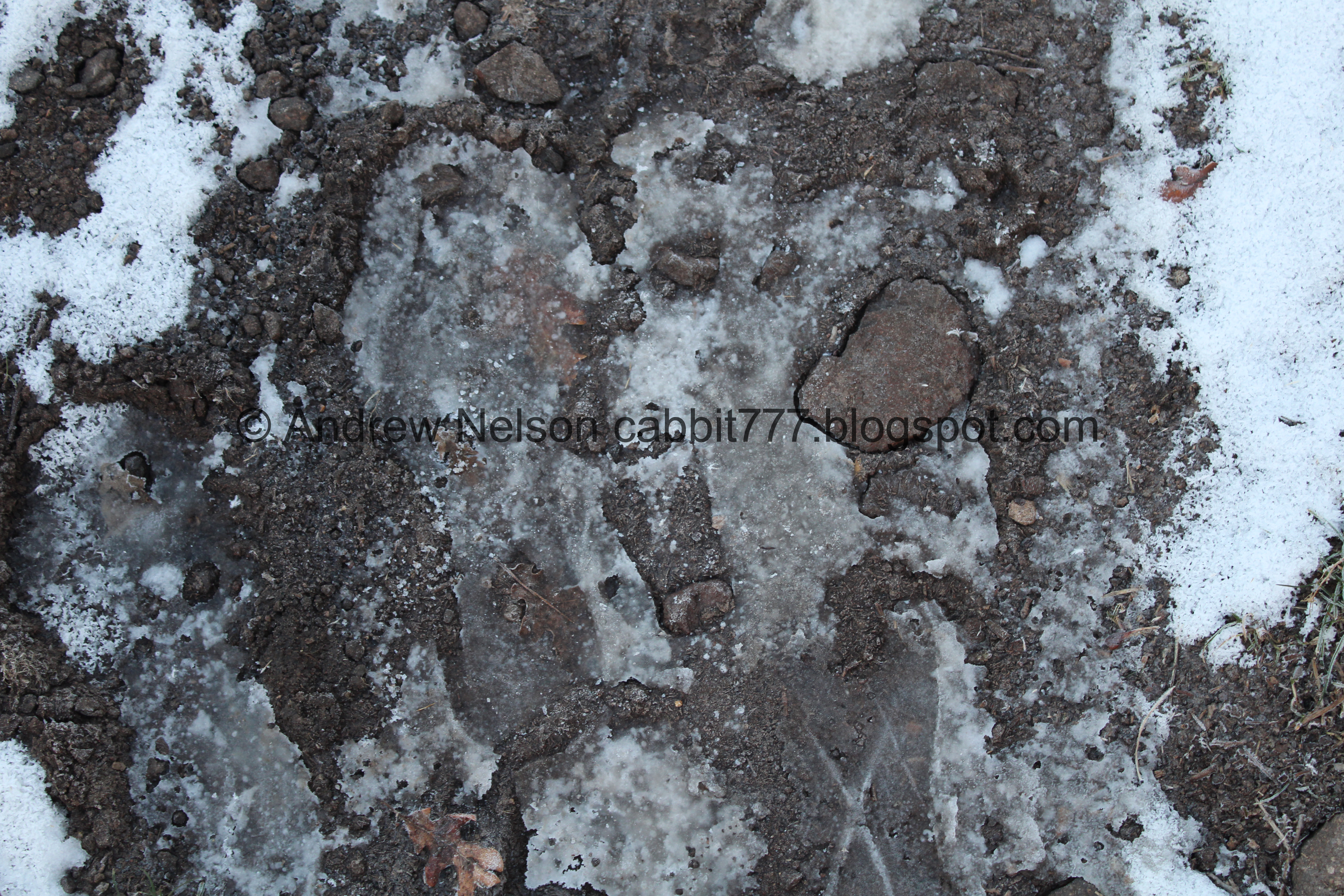
We encountered a little bit of snow and ice, but nothing that made me feel like I needed to put the micro spikes on.

It looks like there might be a spring here that is currently dry.

The valley.
.jpg)
Panoramic.

A random pond or reservoir below.

Potato Hill.

The valley again.
.jpg)
Another panoramic.

Looks like there might have been a fire here at some point.


Trail split. You want to stay right. In fact, other than the initial left at the top, you will always hang right for this loop.
I haven’t done the Lexie & Ethan Trail yet. I might have to check it out sometime.
I found an article (outside link) that explains Lexie and Ethan were members of the Corner Canyon Mountain Bike Team and unfortunately died in a car accident in 2016.

The valley again.

Potato Hill again.

Deer tracks. I guess they find our trails to be pretty convenient too.

More snow and ice.

The valley.
.jpg)
Another panoramic.
Potato Hill again.

The valley again.

Little rock bridge over the side stream.

The valley again.
.jpg)
Panoramic.

I feel like that reception center is new. Off to google maps, and yep, it was being built in 2021. That gazebo looks nice.

Phragmites along the stream.

Another stream crossing.

Itty bitty waterfall.

More snow and ice.

The next trail split will put us on the Bonneville Shoreline Trail, again we want to go right. Left will take you down to the Red Rock Trailhead. According to the Draper Trails Map it is only about .21 miles. So, that is definitely a way to do some of this trail and start at the bottom.

Potato Hill again.
Frozen boot print.

Little wetland area. The bridges could use a little improvement, but it wasn’t too bad.

It was here that we finally found The Claw through the smog about center.

Just below Potato Hill.

The BST through here follows along Mike Weir Drive. I just recently learned from my family that Mike Weir is apparently some pro golfer who lives in Sandy. Not sure why that meant he got a street named after him in Draper, but hey, whatever, I had been meaning to look it up and just hadn’t so I appreciate that it randomly came up in conversation with my brothers.
.jpg)
Another panoramic view of the valley.

The first scree field.

The second one.

Scrub oak.


The third and largest one.

Mmm. Inversion.

This part seems to have had a rough time with the previous epic winter.

Mount Jordan, and the Draper Temple.

This looks like a silica mine, much like the Silica Pit in nearby Corner Canyon.

The valley again.
.jpg)
Another panoramic.

Castle looking mansion. Holy crap I am pretty sure that guest house is bigger than my house.

Continuing up.

Well, hello cutey! We don’t want to hurt you, just want to keep going along.

Oh, you have friends! Hello guys! Sorry we disrupted your plans.

The valley again.

Neighborhood connector trail. Again, keep right.

Another cute gal.

.Sorry if we interrupted your journey.

Box elder peak.

The final trail split. Again, keep right to do the Potato Hill Trail, the 3rd and final trail that completes the loop. Left will keep you on the BST towards Corner Canyon.

The face side of the signs.

More scrub oak.

The valley again.

Corner Canyon.

Another quick section that makes me a little nervous but it’s not too bad.

Deer on the silica mine. He uh, looks like he is having a little trouble on it.

The valley.

Potato Hill.

There is a nice little lookout point here.
.jpg)
With a pretty great view.

I think I see The Tree Of Life down there.

And The Claw.

The final push up to the saddle. Not bad at all.

Deer on the ridge.

Potato Hill.

There were a couple short spots that were a little muddy, but not stick to your shoes muddy, otherwise I would have turned back.

The valley again.

Back to snow and ice.

The little gully below Potato Hill.
They valley below again.

For a minute here I thought I might need to put on my micro spikes, but it actually wasn’t slick.

The back (east) side of Potato Hill.

Christmas lights coming on for the evening.

Deer coming down Ann’s Trail. More proof they find our trails convenient. Though to be fair, they likely started as deer trails and we just enhanced them.

Potato Hill again.

Final trail split. Go right to stay on the Potato Hill Trail and get back to the trailhead. Left is Ann’s Trail. I don’t know who Ann is, but huzzah for having a trailed named after you.
Well, I found an article (outside link) that explains it was named after Annabelle Parr who was a long time Draper resident and someone who worked on trail preservation and development. I think it is pretty cool that Draper honors some of its citizens in this way.

Facing the sign.

Ann’s Trail heading under Traverse Ridge Rd. I can’t prove it, and I did stick around trying to prove it, but I have a suspicion the deer use it too, which honestly hooray if they do and have a safe crossing across that busy road.

The deer continuing down Ann’s Trail.

The back side of Potato Hill again.

They have closed off a few random trails up to the peak for revegetation.

Nearing the south side of the peak.

Random large gathering of people, we wondered what they could possibly doing at this time of night for a second but it will make sense in a minute.

Back to the trailhead. Phew! We made it back before complete darkness. But it was dark enough I didn’t want to check out the new Summit Trail as I had planned. Darn. Guess we will need to come back.

Terrible shot of the trail sign for that.

Potato Hill from the parking lot.

Oh, they are releasing paper lanterns. Okay, that makes sense, it is New Years Eve.

The parking lot.


More paper lanterns. I am not really sure how I feel about these. On the one hand, they are pretty, and I am sure they have some significance to the people releasing them. On the other hand, it’s littering, and kind of a fire hazard. Although I guess in winter a little less so.. but I guess they are better than plastic balloons.

The sign said it was extremely muddy, but honestly it was not. Most of the mud was frozen, only a couple muddy spots, but none that caused sucking or sticking to our shoes. But yes, do heed the signs. If it is sticking to your shoes, you are damaging the trail and should turn back.

Potato Hill from the parking lot again.


More paper lanterns.

The valley lighting up.

On the way back (PSP).
That is a great trail, and a good option for our last hike of the year. It was not busy at all, and the views were nice. Although I will say the views are much better when we don’t have an inversion. I am a little disappointed we could not check out the new Summit Trail, but we can always come back. 8 out of 10 squirrels today.
As for difficulty, there is a bi of a climb, but not too bad. DR3.
Dogs are allowed, but should remain leashed. Also, be aware you are just below the watershed boundary, so be sure to not wander above the Potato Hill Trail with them.
