.jpg)
The Mount Aire trail in Mill Creek Canyon is a really pretty trail, that is a bit on the tougher end. The trail features some dense, dense forest, a creek, and some lingering wildflowers. We did not complete it today, we only did the first half or so. So, not much of a guide, but just a pretty adventure that kicked our butts.

Quick Details:
Length: 3.4 Miles out and back. We did 2 today.
Trail Type: Out and back. Looks like you could make a loop if desired.
Difficulty: DR4. This was an unending climb!
Elevation Gain: 1900 ft, we did about 900.
Restroom: Yes, there is a pit toilet.
Dogs? Yes. On even numbered days dogs must remain on leash. On odd numbered days you can take them off leash once on the trail.
Other Info: Fee area. It is now $5.00 per car, pay as you leave the canyon. Note: They currently are no longer accepting cash. I imagine that came about during the pandemic.
To Get Here:
From the north: Take i215 to exit 4 3900 south. Go left, turn left again on Wasatch BLVD. Turn right on 3800 South.
From the south: take i215 to exit 4. Signed for 33rd, 39th, and 45th (215 is a little wonky here). Go left on Wasatch BLVD. Turn right on 3800 south.
From Wasatch is is about 7/10ths of a mile to the fee station (no need to stop on the way up). From the fee station it is about 4 miles to the winter gate. Then an additional 1.4 miles to the Elbow Fork Trailhead. If the winter gate is closed, you will have to add that 1.4 miles each way.

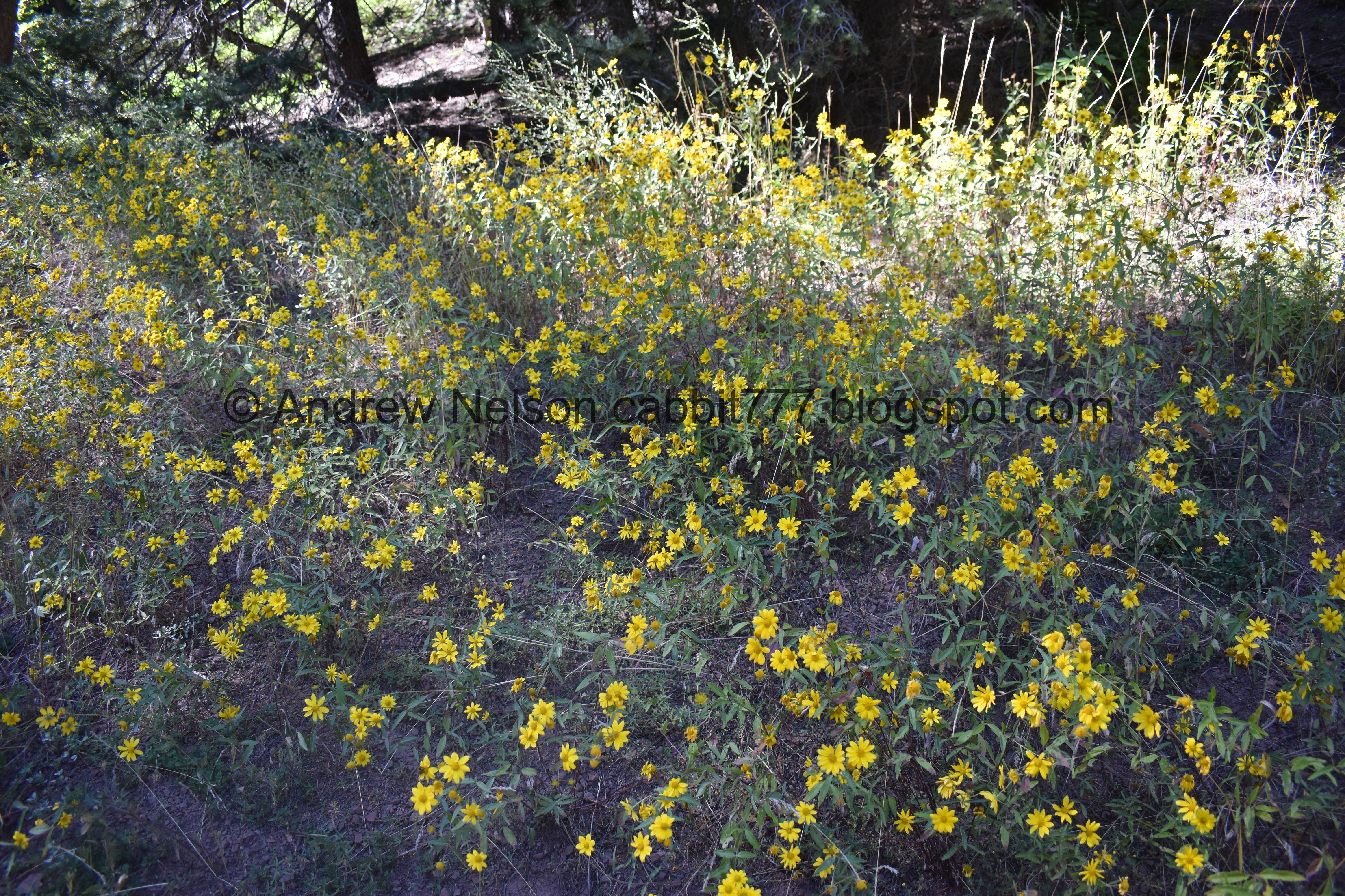
In late August it seems like almost all of our roads become lined with these sunflowers (PSP).

Entering Millcreek Canyon (PSP).

Looks like they just finished repaving the lower section (PSP).

Up above the winter gate the forest tightens in a little bit (PSP).
The Trail:

Before long we reached Elbow Fork. Super pretty up here.

Pretty butterfly. Some kind of fritillary.

Pair of them.

Another one.

Trailhead kiosk.

Loads and loads of these yellow flowers.

I’m not sure what they are, but they are pretty. I am leanings towards an arnica of some sort, but not sure.

The trail starts out following a creek for a bit.

The trail is quite overgrown.

White butterfly.

The creek again.

Beautiful forest.

Some of the geranium leaves are starting to change. From my experience, they seem the be the first to start.


Trail split. We were kind of just winging it today, and decided to do the shorter route towards Mount Aire.
I kind of laugh at that decision as I know from experience, most people make the same decision between Twin Lakes and Lake Solitude. Twin lakes is a bit shorter, but definitely a lot tougher than Lake Solitude. So, I mean, without experiencing both trails, I cannot say for sure, but I thought it was funny I still chose the shorter route.

Old bridge.

Oh yeah, this thing is older than me.
It was a bit spongy.

The trail is seriously overgrown!

Lots of greenery.

There was a 3 way split here. To the right.

Forward

And left. Left seemed to be the strongest trail so that is the way we went. Not sure if that was the right way to go or not.

Nice little clearing.

Butterfly.

Another little bridge.

Little creek.

Looking back at the little clearing.
Loads of yellow flowers. I’m leaning towards some kind of arnica.

Some kind of daisies.

Looking up.

Some big trees.

With a nice bench to take a rest on, which we absolutely needed at this point.

Another pretty butterfly. I think it might be a Weidemeyer’s Admiral.

Super pretty.

It is really hard to capture just how steep the trail is.

What in the heck is this thing!?!?!?!
We later determined it to be a pine cone, but it sure is kind of freaky looking.

Some geranium leaves that are starting to turn.

Steep trail.

Whoa!!! We have a maple tree starting the change.

Little closer.

Tiny waterfall.

Interesting little yellow flowers.

Some more daisies.


Super thick woods.

Western cone flowers.

Thick woods.

Some bright orange berries.


Some pretty yellow flowers. Some kind of arnica I think.

Little mix.

More daisies.
This trail was kicking our butts, and starting to affect Landis’ foot. So, we decided to call it. Sorry for the partial trail report, but it was just too much for us today, and we decided to turn around.
Although it would seem we made it more than halfway and if we had just toughed it out a little longer we would have made it, but meh. Maybe another time.

Heading back down.

Twin aspens.

The creek was pretty intermittent, but here we see it again.


Thick forest.

Geranium.

Another maple starting to turn.

Another tree starting to turn.

More arnica.

Back to the little waterfall.

More thick forest.

Another plant starting to turn.

View across the canyon.


Forest.


Big patch of flowers.
Down to the little meadow.

More forest.

I imagine this is a woodpeckers den.


More forest. Wow this trail is super wild.

Down to the old spongy bridge.

More thick forest.

Pretty purple daisy.

Forest.

The little creek.

View down.


More forest.

The creek again.

View across the canyon again.

More arnica.

Back down to the trailhead.

View up canyon.

View down.

I noticed this random white cross painted on the road here and I didn’t know what it meant. I was a little worried that I missed something in drivers ed. But I looked it up, and it does not have anything to do with driving. They are aerial targets used for aerial mapping.


Heading down the canyon (PSP).

Passing below the winter gate (PSP).

More canyon (PSP).
Well, I kind of like/hated this trail. It is very wild and natural. The forest is nice and thick, which I really loved. It also was not terribly busy. However, it was seriously just strait up the mountain! It was quite a bit more tough than we prefer. 7 out of 10 squirrels.
As for difficulty, Like I said this is quite the climb. DR4.
Dogs are allowed. On even numbered days dogs must remain on leash. On odd numbered days you can take them off leash once on the trail.
