.jpg)

Quick Details:
Length: About a 2 mile loop.
Trail Type: Loop, or out and back. There is also an additional tougher loop option.
Difficulty: DR3 for what I did. To get much closer it gets a little tougher.
Elevation Gain: about 100 feet.
Restroom: There should be some at Tunnel Springs Park.
Dogs? Yes, leashed.
To Get Here:
To get here: Take HW89 in North Salt Lake to Eagle Ridge Dr. Head east up the mountains and continue forward through the roundabout. About .8 miles later turn right on Parkway dr. Parkway winds right then back left for about .9 miles. After which you will turn right on Eagle Point Dr. 100 more feet and you will see the park with a parking lot. Address is 1080 Eagle Point Dr. If you want you can drive another 100 feet or so on gravel to a back parking lot.
The Trail:

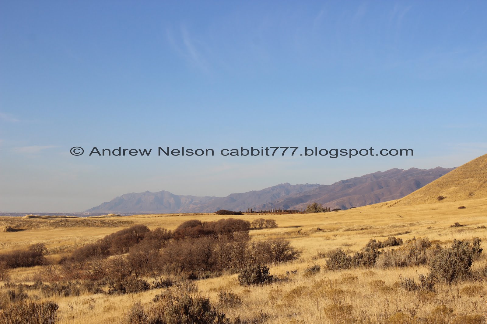
The south end of Tunnel Springs Park and the view beyond.

I think this fence line is the county line and now we are in Salt Lake County.

The peaks here have these weird little stripes on them. I still haven’t figured out what caused them.

I think I prefer doing this trail in the spring when everything is nice and green.

Antelope Island.

One of the couple of little canyons you pass by.

Another one of the peaks.

A hawk soaring around the peaks.

Another informative sign for the birds of the Great Salt Lake.

View out towards the Great Salt Lake.

The wide single track trail becomes a double track for a minute.

Antelope Island again.

The Great Salt Lake is a bizarre shallow creature and spreads out in crazy ways.

Just before the trail starts to climb the hill, there is an offshoot to the right, this is the way to the arch.

Thin trail through the tall grass. Again, I think it is prettier when it is still nice and green.

Antelope Island and the lake again.

Heading along the Bonneville Shoreline.


Through the grass.

Before long you will see Industrial Arch next to the un-named but easily accessible peak.

Also a pretty decent view of downtown Salt Lake City.

The arch above the city.

Okay, telephoto lens time. It is a nice little arch.

With the peaks in the background.
Little bit of a digital crop. This is actually a pretty neat arch. Considering where it is located, I think it was created by the same forces that created Chinese Arch, the waves of ancient Lake Bonneville, but I might be wrong. It joins my short list of arches that I know about in northern Utah. Weber Arch, Devils Looking Glass, The Wind Caves, and as mentioned above, Chinese Arch.

With the mountains in the background again.

Downtown SLC again.

The trail is a little thin and steep for me being by myself today. If I had my hiking buddy I could probably keep going, but I tend to err on the side of caution when it’s just me.

The arch again.

Looking across the valley towards the Jordan Narrows.

Little sub peak I climbed last time I came hunting for this.

Antelope Island again.

Back to the regular lens, shows the distance a little better. I would wager it’s another half mile or so.

The arch above downtown.

Heading back along the trail.

The rock quarry, and industrial area below.

Through the tall grass again.
The Bonneville Shoreline Bench is quite wide through here.

I decided to take this alternate path back. I (luckily) assumed correctly that is wouldn’t lead down into the mine area, and would lead back to the park.

Antelope Island again.

Little tiny bit of fall color holding out.

There are quite a few little dry gully's you cross over down here.

Nice color in the grass.

Looking up towards the hills.

Striped hills.

Another little gully. Quite a bit more up and down on this lower trail.

Some hikers up on the hills. There are a lot of random trails throughout this area.

More tall grass.

Nearing the county line.

The trail turns at the fence and follows it back to the upper trail.

Oh, they have added an infrared trail counter. They gather data to determine usage. I have seen these at a couple other trail heads.

Some pretty sage brush.
That is a neat little arch and a fun trail system. I might have to come back with my hiking buddy to see if we can get in closer, but I like that I can get some decent photos from the spot I made it to. If you scramble up to the arch you can get some neat shots of SLC through it. The trail system is pretty popular, but there is a lot of different trails so it’s not crowded at all. I really enjoyed what I did do, but I did not complete the trail. The segment I did do I will rate as a solid 8 out 10 squirrels.
As for difficulty, the upper section is fairly flat. The lower section has some mild ups and downs, but nothing bad. DR3. To scramble up to the arch will be a DR5 I think.
Dogs are allowed, but must be leashed.
