.jpg)

Dry Creek at the bottom of the gully.

Lovely mountain views.
Quick Details:
Length: About 4.15 mile loop (which may fluctuate depending on what trail you use).
Trail Type: We did a loop but you can do point to point, or out and back as well.
Difficulty: DR3. Pretty easy going great trail surfaces (mixed: dirt, wood chips, cement).
Elevation Gain: About 220 feet.
Restroom: There is one at the Wrangler TH but it is still closed for winter.
Dogs? Yes, leashed.
To Get Here:
Take 106th South to 13th east, Go north for about 1200 feet then turn right*. Go another 300 feet and you will see the Wrangler TH on the right.
*if you pass Smiths on 13th East, you went to far, but go ahead and turn into their parking lot and head south it’ll get there too.

The parking lot is dirt, with tire parking space markers.

There is an additional trailhead to the east that leads to the Dimple Dell Trail (AKA Rim Trail) and other trails heading east. We missed this on the way in last time, so, just pointing it out.
The Trail:
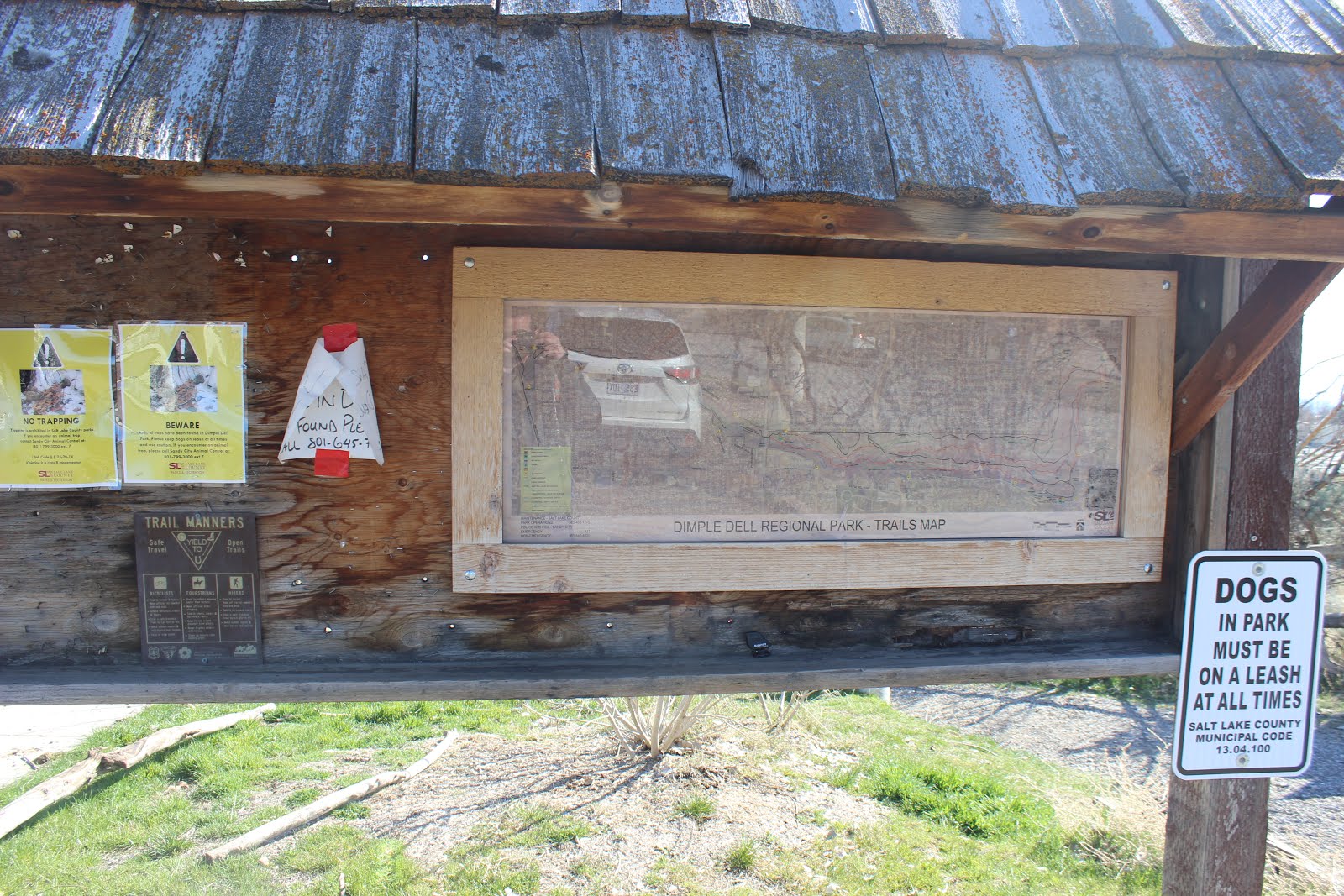
Trailhead sign.

There is a lovely little picnic area at the trailhead.

Heading down into the gully via the Dimple Dell Trail. This is the only trail that traverses the entire park.

Trail courtesy.

Last time we went left here and went east along the Dry Creek Trail, so today we went right under 13th East.

Tunnel under 13th.

Fairly long tunnel.

After the tunnel we get a lovely view of the lower gully.

We are currently on the Dimple Dell Trail. I think we stayed on that for most of the way down, and possibly veered onto the Dimple Dell Loop trail a few times.

It is a nice stroll.

Dry Creek living up to it’s name.

The first bridge. The trail split here and I wasn’t sure which way to go, but to the right looked like it lead up and out of the gully so we went left. Both trails actually go up and out of the gully, but both also have trails that split off and stay in the gully.

Dry Creek from the bridge.

Cement for a minute. I did start to worry I had made the wrong choice and this was going to take us out of the park.

The cement path will lead to another trailhead at 1100 E, but the wood chip lined Dimple Dell Trail splits off to the right here.

Phew! Still in the gully.

Another little picnic area.

View across the gully. You can also see the houses the line the top of the gully. Unlike the upper sections they are more prominent down here.

Looking down into the gully. I think that thinner trail just below this one is the Dimple Dell Loop Trail.

Looking across the gully again.

I noticed what appears to be a cave across the way. We’ll explore this some on the way back.

Remember to look behind you every now and then to appreciate our absolutely beautiful mountains.

Looking into the gully.

The gully gets more shallow and narrow the further along you go.

Mountains again.

Enjoying the walk.

Dry Creek again.

One of the many side streams, or drainage ditches that add to Dry Creek.

Bare trees, blue skies.

Pretty.

Bird nests.

Crossing under 7th East. Wow, 6 blocks already.

I wasn’t quite sure how long this section was and my original plan was to turn around here, but, we were still enjoying the trail so we kept going.

The other side.

Confirming we are still on the Dimple Dell Trail.

Pretty forest.

2nd bridge. The Dimple Dell Trail crosses the creek here, I originally wanted to stay on that trail, but we decided to stay on the south side of the creek for the down trip.

A little thinner, but still definitely a trail.

You know, I really just prefer the more natural paths.

The 3rd bridge is quite a bit longer.

From the front.

We’re back to wide and wood chip lined again. This is just a connector trail the Dimple Dell Trail, is on the other side of the creek though here.

Looking back at the mountains again.

The gully is definitely getting more shallow, but is starting to open up some more.

Still fun to play: 'Nest or porcupine'. It’s almost always a nest, but sometimes, it’s a porcupine.

Dry Creek.

Pretty down here.

Oh wow, we are nearing the end.

300 East, really? We walked 10 blocks!

Exactly 2 miles later we have reach the Portor Rockwell Trailhead which is next to this big mesa. I don't know for sure, but they had to fill in some of this right? The creek had to exit somewhere.

It's also next to the Sandy Off Leash Dog Park. Wow, that is a busy dog park.

The mountains look great from here.
Well, time to head on back.

We came from the right, on a connector trail, so we’ll go left on the Dimple Dell Trail.

Pretty forest down through here.

Dry Creek again.

Mountains again.

It really is lovely down here. It would be a lot better if the creek was flowing though.

Mountains again.

The gully below.

The 3rd bridge again.

The 2nd bridge. Crossing here will keep you on the Dimple Dell Trail. We wanted to stay on the north side of the creek so we stayed put.

This trail doesn’t appear to be named, or appear on the map. It’s a little thinner, but it is still definitely a trail. Also there were none of the standard barriers rangers put up when they want to dissuade use of a trail. It seems logical to me to just extend the Dry Creek Trail down through here, or even just call it Lower Dry Creek, but meh.

Thick, thick woods.

Before long we’ve reached the 7th East overpass again.

Had to cross Dry Creek and get back on the main Dimple Dell Trail again to get through.

Little stagnant pond.

Just a couple feet after the 7th East overpass there is a thin split back across Dry Creek.

Crossing Dry Creek again.

Another little pond on this side. This one doesn’t look as gross as the other one.
Forest and creek.

More forest.

Mountains again.

Oh boy…That fence doesn’t look like it will last much longer.

From forest landscape to desert landscape.

We hit s trail split, the upper trail appeared to leave the gully, and the lower trail took us down to the creek again where we found this wet road crossing.

Which led us to this power station. It looks like you can get around this on either side, we chose right, although left might have been easier.

Trail to the right.

This made the creek bed our trail for a minute. Lucky that it is dry. Also, I doubt you can see it, but the trail picks up again on the left there.

Hooray! We managed to find the cave again.

We picked up a thin trail to the west of it, but there is a more direct trail to the south of it, hind site haha.


More an alcove than a cave, but still fun.

Little window at the end of it.

Landis says hi!

Looking out of the cave.

The window from the outside.

View of the gully and the mountains above from the cave.

The cave from below.

Back on the trail.

Oh, some water in Dry Creek through here.


Coming from this side stream and/or storm drainage.

The last half mile had, well, quite a few trail splits that made it a challenge determining the best path, but we eventually hit the paved section that was just below the split we decided against on the way in.

Paved path down for a minute.

Back to the first bridge. I thought about crossing it again and following the thin path on the other side, which it appears you can do, but meh. We are almost done.

Back to the wood-chip lined Dimple Dell Trail.

Mess of woods.

The climb back to the tunnel under 13th East. Most of the elevation is gained in this last segment climbing back up to the trailhead.

The tunnel under 13th East.

Makes for an interesting frame for the mountains.
The mountains again.

Final push back up to the Wrangler Trailhead.
This trail was really nice, but I think it is my least favorite section of the gully. It is pretty, but you can hear traffic for a lot of it, and also people doing their thing in their backyards. The mess of trails is still a problem down here, but it is not as bad as the upper sections. Going with 7 out of 10 squirrels. Losing 1 for the web of trails, 1 for lack of signage, and 1 for noise. I cant say we have done all of the trails in the park (in fact there are a couple I might come back for) but I can say we have now done the entire gully, top to bottom, and I am excited about that. Wewt! I will say, if I still lived near here I would probably spend a lot more time in it.
As for difficulty, it was pretty easy going among various trail surfaces, dirt, cement, and wood chipped. DR3.
Dogs are allowed, leashed. Please clean up after your furry friends.
