.jpg)
The Little Cottonwood Trail general follows Little Cottonwood Creek from the mouth of the canyon all the way up to Tanners Flat Campground. It features a river, beautiful forests, wildflowers, and in this section a couple of interesting things to see along the way. After lasts weeks climb, and with the smoke being pretty bad today, I decided I wanted something a little easier and maybe shorter. I was under the false impression that this was only a mile, but it’s closer to 1.8 which, was okay. This is a trail that there is no end prize, it’s just a lovely walk through the woods. We’ve done the lower section a few times, so it was nice to finally check out the upper section.

Quick Details:
Length: 3.2 out and back. The entire trail would be about 4.75 miles one way, if my calculations are correct.
Trail Type: Out and back, connector.
Difficulty: DR3. There are a couple short scrambles, but otherwise it is a pretty gentle climb.
Elevation Gain: About 860 ft.
Restroom: Not at the trailhead, but I imagine there are some in the campground at the top.
Dogs? No. Little Cottonwood Canyon is watershed.
To Get Here:
From the mouth of Little Cottonwood Canyon drive 2.8 miles you will see a small dirt parking lot on the right. Park.
The Trail:

Some of the road side sunflowers that seem to line just about all of the roads around here this time of year.

Trail sign.

The first 1/10th of a mile goes down hill. Remember you have to climb back up this on the return trip.

After the down, you will reach this 4 way junction. Head left.

It wasn’t as much cooler up here as I thought it would be. Lucky for us there was plenty of shade!


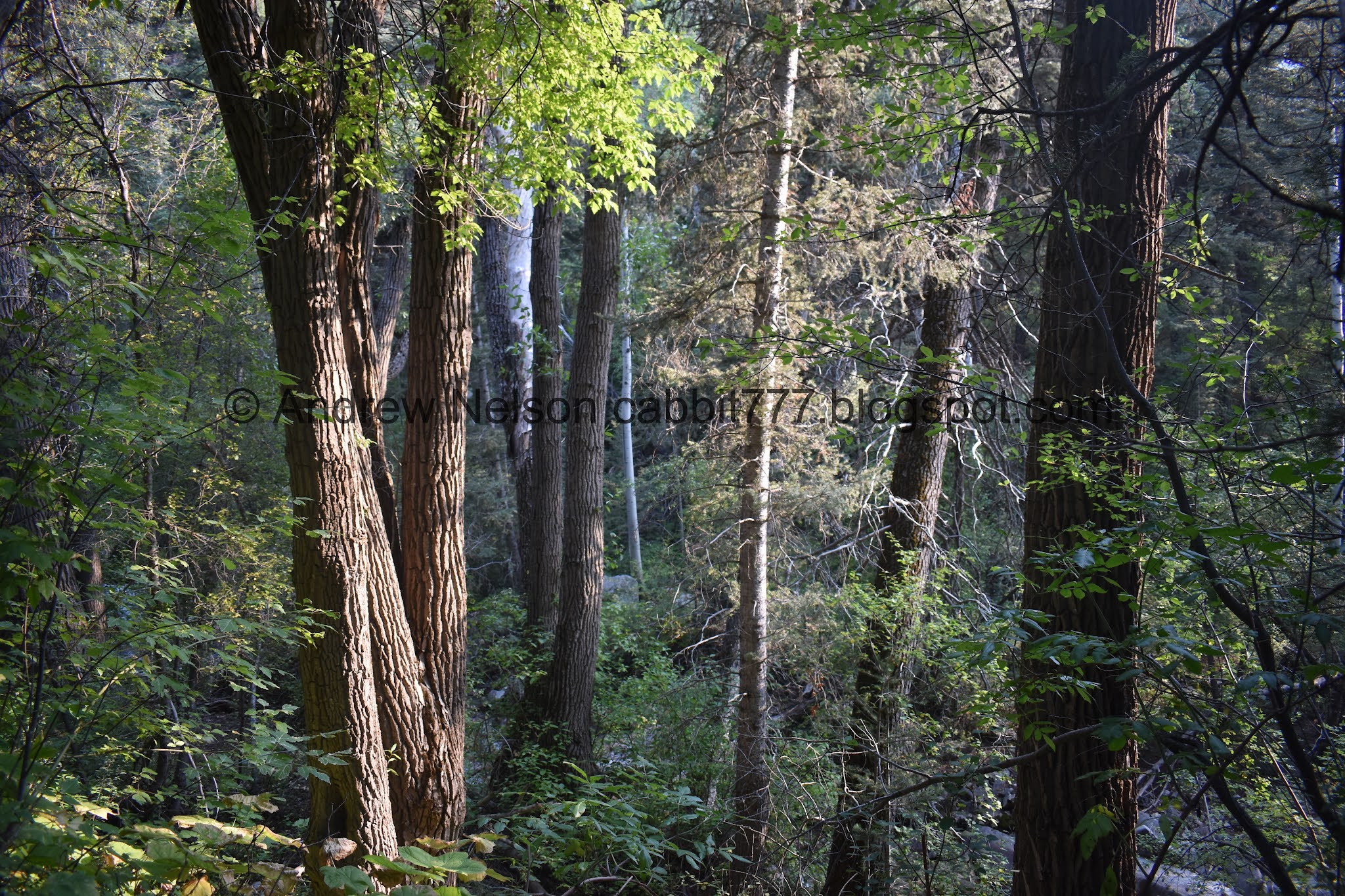
Thick forest.

The trail is an old jeep road, so it’s nice and wide.

Looking up.

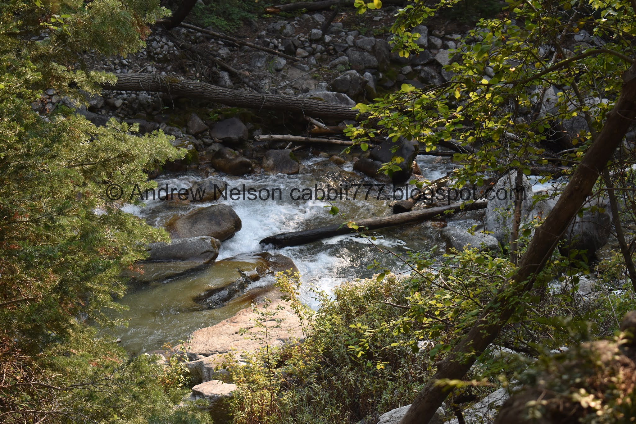
Little Cottonwood Creek below.

Getting an early jump on the fall season.

There’s quite a bit more water in the creek than I expected.

Double pipes.

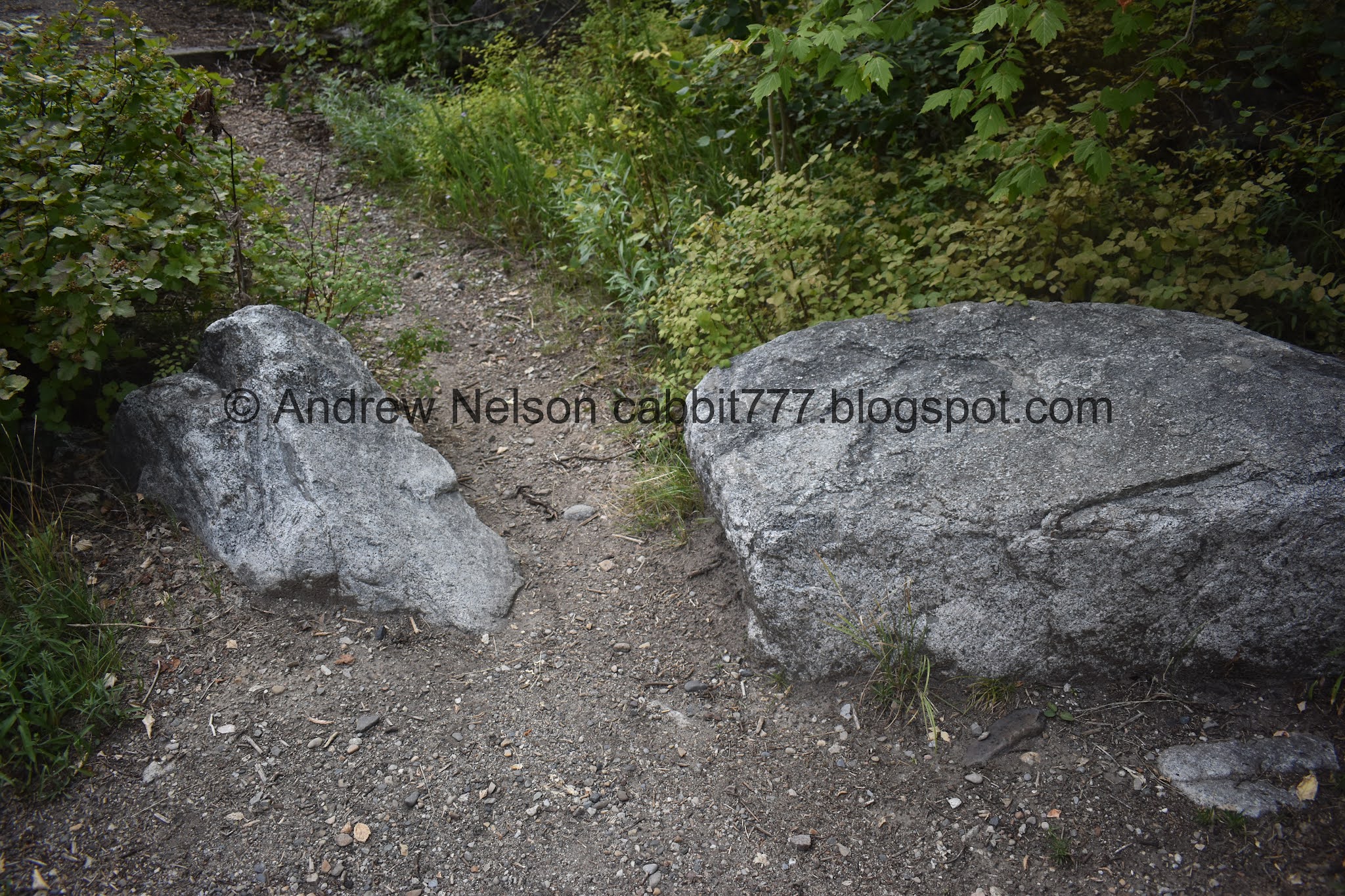
Little boulder field.

There are still a few wildflowers hanging on.

The creek again. Nice clear water.

Old wall.

The remains of an old power plant.

With the creek.

Some of the retaining wall has collapsed into the creek. That sucks.

Some more wildflowers.

Climbing up above the ruins.
After the ruins the trail becomes quite a bit thinner.

Another structure of some sort. I am pretty sure it is related to the old power plant.
There were 2 short sections I really didn’t like, but I made it through them.

Another boulder field. It’s pretty easy to navigate across it.

Random hunk of metal.

Oh. It was part of this car. Huh. I wonder if this got pushed down here with the rockslide, or if something else caused it to be here. Either way, it has obviously been down here for a very long time.

Not much more than a frame.

More boulders to walk through. A fairly obvious path has been worn through though.

The creek again. You may not be able to see it the entire time, but you can certainly hear it most of the way.

Little spring.
There is a steep detour to the left here you can take, or..

You can cross this second stream, and take the steep detour to the left after it. We went up the 2nd one, and down the first one. I honestly don’t which is better, but either way the forward route has been closed for revegetation.

After the short scramble, you are transported deep into a thick old growth forest.

Looking up.

Some more early changers.

More of the lovely forest.

The remains of an old dam. I remembered reading about this at one point, but couldn’t find that again.

Then you will hike in this creek bed next to the dam for a little bit. Actually, I think it is more of a run-off channel than it is a creek. Some of the gulches above are quite steep, and prone to slides.

Nearing the top of the dam.

You end up in the run off channel a few times, but luckily every time it is pretty obvious were the trail picks back up.

Fun ferns.

Well, I didn’t expect to come across some deer. Fun!

Still in the run off channel.
Another view of Little Cottonwood Creek.

More pretty forest.

Super thick forest.

More early turners.

Pretty big wasps nest.

Entering a thick aspen forest.
Back into the coniferous forest. Check out some of these HUGE old growth trees.

Looking up.


More huge trees.

More early turners.

More forest.

It is just so beautiful and lush up here.

I have a feeling the fall colors are going to be quite brief and/or muted this year.

Some kind of berry.

More early turners.

In another run off channel.

Another biggun.

Mixed forest.

The thick forest opened up enough to see a peak above.


I guess the fall color is really starting.

More aspens.

Thick through here.

Tall twin trees.

In the run off channel again.

Such a lovely forest.

More early changers.

We were about ready to turn back due to this running a bit longer than we anticipated, but around here we started smelling food being cooked over campfires. So we had to be getting close.

Another biggun.

Back in the run off channel.

Triple tree.

Little family tree. Tree’s are exceptionally persistent. A fallen over tree can become a family tree, where the branches become individual trees on a tipped over main trunk.

Random slab.

Then we reached Tanners Flat Campground.

Trees starting to turn.
Heading back down.

Back into the creek. This appears to be the run-off channel for Tanners Gulch.

Like I said, it is pretty easy to pick up the trail again after passing through these.

Striped tree.


Pretty forest.

Looking up one of the big old trees.

Vertical panoramic of another big tree.

Much better view of the family tree.

More forest.

Aspens so thick you can’t see through them.

More forest.

Not sure if this is the same run-off channel for Tanners Gulch, or for the next gulch down.

Again, easy to pick up the trail again.

One of the giant old growth trees next to the average size trees.

Back into the aspen patch.

Looking up.

Looking down the steep detour.

From the other direction.

Tree stars!!! Actually these are thimbleberries.

Thin shafts of light making their way between the trees.

The creek again.

Into another run-off channel.

The old dam again.

More forest.

Looking back towards another of the short scrambles we did.

Looking back towards one of the spots I didn’t like. I hate steeper slide areas. But, I made it both up and down. Oddly enough the other spot I didn’t like I apparently didn’t notice on the way down.

Back to the slide area.

The old car frame again.

Back to the ruins.

Some daisies.

Better look at the old ruins.

With the creek.

Back down to the dual pipes.

The creek again.

Back down to the wider old jeep road.

Orange sun through all the smoke. Yuck.

Lovely forest.

Back down to the 4 way split. Head right to head back to the trailhead.

The final climb. At just under a tenth of a mile it’s not so bad, but oi.

The final staircase.

The word on the ruins has gotten out, so hopefully this sign can keep it preserved for a while longer.

Street side sunflowers.

Orange sun again. Yuck yuck yuck.

Which quickly faded into practically nothing (PSP).
I was absolutely surprised by this trail! I haven’t gone up above the ruins before, because I didn’t really know how much further it went. I misread a blog and thought it was quite a bit shorter than it was, but by the time we started to get tuckered we were able to confirm how much further it was and determined it was doable. Yeah, a campground is not necessarily the most exciting destination, but this trail was more about the lovely stroll through the woods and enjoying some old growth trees along the way. Also, after the ruins we did not encounter a single other soul. It was surprisingly delightful! Particularly after relenting to: I just wanted something short and easy. 9 out of 10 squirrels.
As for difficulty, as I mentioned there were a few short scrambles, but for the most part it was pretty easy going. DR3.
Dogs are not allowed in Little Cottonwood Canyon due to watershed restrictions. Be sure to leave Fido at home.
