.jpg)
The Weber River Parkway is part of what will eventually be the The Centennial Trail. Combined with The Ogden River Parkway, and The Bonneville Shoreline Trail. It will eventually make a large loop around the Weber Valley. We have done almost all of The Ogden River Parkway, and only a smidge of The Weber River Parkway, and a little bit of The BST up this way as well. This section is the northern tip of the Weber River Parkway and crossing over onto the Ogden River Parkway for just a minute.

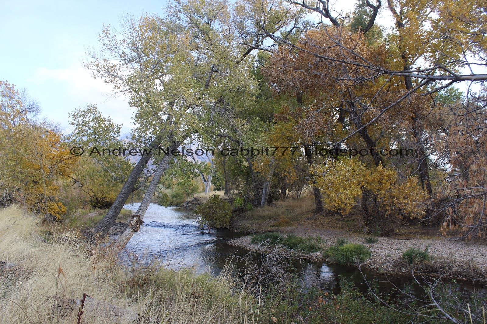
The Weber River

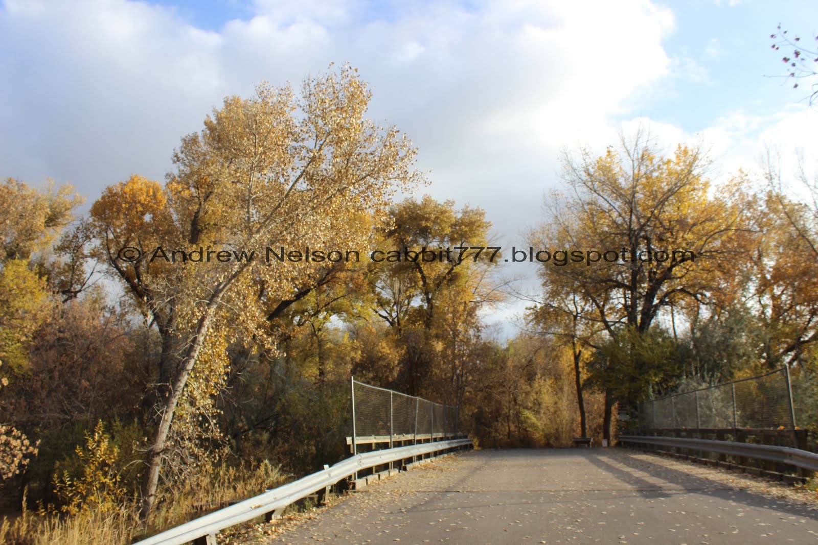
One of the neat old bridges seen on this segment.
Quick Details:
Length: According to Google maps (which I have found to be fairly accurate) 4.2 miles out and back. We did closer to 5, but we did quite a bit of exploring.
Trail Type: Out and back, or Point to Point
Difficulty: DR2. Paved, very mild elevation change.
Elevation Gain: About 70 feet. Possibly a bit less, like I said, we explored some.
Restroom: Not at the trailhead we used but I think there are some at a few of the parks we passes. No idea if they are open in winter though.
Dogs? Yes, leashed.
To Get Here:
The trailhead we used is fairly new, and does not appear to be named yet, or at least it isn’t labeled. I noticed it when we did the Ogden and Weber River Confluence a while ago. anyway, it is located on 17th st.
Best access is to take the 12th St exit in Marriott-Slaterville and head east. Turn right on 1200 w. This will curve back to the east and become 1700 s. Park in the small parking lot. Note, the 2nd one that looks like a trailhead. I am not sure where the first one leads. But it did catch my eye haha.

I was a little worried that we were going to be hiking in the snow today, but luckily the further north we went, the more sunny it got. So, it was a good choice today. (PSP).
The Trail:

From the parking lot, you will head south.

Right off the bat there is a bridge over the Ogden River.

Looking downstream.

I can’t say I have seen the bottom of the Ogden River before. It’s usually quite a bit higher than this.

Looking upstream.
After the bridge you will be on the Ogden River Parkway, and be at a 4 way intersection. Left will take you the 21st St. Pond. We want to go right. You can go forward as well and shave just a tiny bit off of the mileage.

There is a newer park here that, but it doesn’t appear on the maps yet, so I don’t know what it is called.

Neat tribute to the Native Americans.

A couple spots allow you to walk down to the river.


Little bit of nice color along the trail.

The Ogden/Weber River confluence. This is where the Ogden river curves to the south, and the Weber River, already heading North, crashing into each other then continuing out west as the Weber River. It’s kind of neat that they have a head on collision if you will. I said it last time were were here, it’s like Colliding Rivers in Oregon.

A panoramic shows it a little better. Ogden river heading south from the right, and the Weber River heading north from the left and continuing west middle.

The Weber River heading west.
Now we should technically be on the Weber River Parkway, or eventually the whole thing will be the Centennial Trail.

The Weber River seems slightly bigger than the Ogden River. Probably why it keeps the name after they merge.

Charles McFarland Bridge. This is far as we made it last time we came down to the river confluence. The bridge is named for a City Council member who’s dedication is largely responsible for this trail system. Oh, and crossing it appears to take you west along the Weber River. Not sure how far though.

The bridge from a little further down.

I was hoping the trail would bring us closer to that water tower, but it doesn’t really.

Whoa. Check out this old bridge. It says United States Army on it.

From the other side.

Some nice color here.

Mount Ogden looks like it is still getting snowed on.

The river current seems to be getting a little quicker.

Mount Ogden again.

Neat old tractors.

Nifty suspension bridge holding this old pipe up.

Going under 21st St.


Little bit more color.

The sign states ‘”These pictures show what the sewer line looked like that the pioneers made with brick. It was about 4 feet across. We tried to save a big piece so we could see it but as the crane lifted it up it broke into pieces.”
Sad that they couldn’t preserve the piece of history for us. Also sad that there are no such pictures. My guess is they got graffitied on so they moved them elsewhere. Or perhaps they have taken them down for the season.

This is why my initial thought is the pictures were graffitied on haha.
This sign talks about the swallows that nest here. And that they usually leave the week of August 23rd.

One of the nests.

This was the goal for the day. This old railroad truss bridge across the Weber River.

Apparently there is a closer trailhead that I didn’t see on the map. Looks like it is on Middleton Rd. Oh well, I am enjoying the walk.


This is a neat bridge, and one I have been wanting to get closer to for a while as I have noticed it while coming down 21st St. The funny thing is, as we will see in a moment, this is actually the ‘new’ bridge.

There is a little safety tunnel under the bridge. I imagine in case anything falls off.


Here you can see the support structure of the older bridge next to the steel beams and cement supports on the new bridge. Crazy to think trains, TRAINS used to cross on wooded bridges.

Better view of the older bridge.
Well, now I am confused. I was curious how far back they would have to adjust the railroad to shift the track over a few feet so I zoomed in on google maps… and the rail line still goes across the wooden bridge, not the steel bridge. So.. yea, I don’t really know what the heck is going on here.

Another look at both bridges.


Some nice color again.


This is a great forested section.


You also go by this train yard and get to look at the trains. Unfortunately, you also get to breath in their fumes.


More color. Glad we chose this trail today and got to enjoy a little more of the fall color before it is gone for the season.


This section of trail doesn’t offer much of a view of the river, but there are a couple little side trails out to see it.

Looking up!

Some kind of rail storage system.

Vibrant spot.
The river again.

Nice view of Ogden Canyon.

More color.

Neat tree kind of looks like rising flames.
I heard what sounded like a waterfall, considering where at the bottom of the valley that seemed odd, but I followed my ears….

Oh we found some old structure that made a waterfall. I wonder what this looks like during spring run off.

It’s actually quite pretty.

Close to the falls.

A little more turbulent on the other side of the river.

Looking downstream.
One last shot. It kind of reminds me of Idaho Falls, but on a much smaller scale.


From the top. Holy crap, is that rebar? That looks a little dangerous. Considering the next destination upstream is Kayak Park. o.O

Mount Ogden again.

Some more color above the falls.

Here the trail crosses the Weber River.

Looking downstream. You can just barely make out where the waterfall is.

Looking upstream.


Entering another nice wooded area.

Mile 6? From where? I guess from probably the original south end of the trail.

This tree is crossing it’s fingers.

Some great color.

Old burnt out building.

Er, pair of buildings.

We made it to Kayak Park. This is the observation deck.

Which offers a nice view of the old buildings.

Correction, the Jay M Hudson Kayak Park Observation Deck. It would seem he spent a lot of time and money building and maintaining trails in the area. Awesome! Much appreciated.

I’m not a kayaker, so I don’t know, but I guess this a a good spot for it.
This was going to be where we turned around, but we were still doing ok and Fort Buena Ventura didn’t look to be much further. plus, then that would put us where we had left off on this trail, so what the heck huh?

Another neat old bridge. We can see that a little better a little further along.

We got a little confused as to where the trail continued for a second, but after crossing the street we found this trail down.

Old spillway.

Short tunnel.

The neat old train bridge. I am sure there is a particular name for this style, I guess it is another version of a truss bridge. Neat.

A little color upstream.

Just a smidge north of Fort Buena Ventura is the Ogden City Dog Park.

The Weber River again.

It’s weird, but kind of cool the trail is separated from the road by these boulders.


Some color.

Holy giant mushroom, Batman!

Almost to Fort Buena Ventura.

Some color.

We made it to Fort Buenaventura. We have started an adventure here heading South when we did the Kingfisher Wetlands Trail.

There is a Frisbee golf course here. Cool.
Some more color.

The Weber River again.

Downstream.

Again.
Well, we connected the two parts of the trail we have done previously, and have gone far enough, so it was time to head on back.


Some nice color.

Mount Ogden again.

I found a short trail leading into the woods, so you know, I went to go check it out.


It’s pretty in here.

Ducks cruising down the river.

Another pretty spot along the river.

The other direction.


Looking up again.

Just enjoying some of the color.


Trees along the river.

Back to the neat bridge.

From the other side.

Mount Ogden and where 24th st goes across the rail yard.

Back to the bridge.

From the front.


1897!!! Holy crap this bridge is 122 years old!
Well, this is neat, but time to keep heading back.

The river below from the street bridge crossing.

The river next to Kayak Park.

I’ve said it a million times before, but I love, LOVE Ogden’s trail marker system. They have a unique design, and are quite informative. They not only let you know what trails are what way, but they tell you some of the interesting things you might see. In fact this one tells me there is another Kayak Park, Crystal Wave Kayak Park that sounds kind of neat. I might have to come back and hit that missing segment along the Ogden River Parkway we haven’t done yet.

The neat old factory.

Little wildflower still holding out.

Interesting hollowed out tree. Reminded me of the trees we saw in The Redwoods. I imagine similar forces probably caused it.

Back to the bridge crossing the Weber River. This was installed in 2007, so just 12 years old.

Looking upstream.

Downstream.

The train yard again.

Ben Lomond.

Back down to the little waterfall.


Some more color.

Big birds nest.


Back down to the river.

Ben Lomond again.


More color.

Looking up again.


Along the river again.


Pretty color.

Looking up again.
Back to the first old bridge.

From the other side.

Random old map. Definitely a little different.

More of the swallow nests.

More color.

Mount Ogden again.

Leftover sign from spring.


More color.

Ben Lomond again.

The old Army bridge again.

It’s old enough looking that I wouldn’t want to use it, but they have made sure you cant anyway.

More color.


Back to Charles McFarland Bridge.

View downstream. You can see the river confluence from here.

View upstream.

Back to the Ogden/Weber River Confluence.

More duckies.

Panoramic.

Leaves on the water.

The Weber River continuing out west.

The pretty trail again.

The park at the beginning of the trail has this sign. Lots of people to thank for the trails here.

The bridge over the Ogden River.


Looking upstream.

Downstream.

Upstream had the better light.

Back to the parking lot.

Heading back into the storm on the way home (PSP).

Storm clouds during sunset are neat (PSP).
That was a fun little trail! I would normally reserve this kind of trail for winter, but like I said, I was hoping to get a final dose of autumn color. This is a neat segment with a cool mix of nature, history, and then some. I kind of enjoyed it. 8 out of 10 squirrels.
As for difficulty, So long as you stay on the main trail it is super easy going and generally flat. DR2.
Dogs are allowed, but must be leashed. There is also a dog park along the way if you want to let them run free.
