.jpg)
I decided to pick up the trail at Ezra T Clark Park for a few reasons. 1, It picks up the trail at State St. 2. There is off street parking. and 3. (kind of silly) but now not only did I complete the Legacy Parkway Trail, but I also completed the last tiny segment of the Farmington Creek trail. Albeit the least desirable segment, but still 2 birds, 1 stone.

Quick Details:
Length: 2.9 Miles out and back.
Trail Type: Out and Back, Point to Point, or there is a longer loop option if desired.
Difficulty: DR2. Flat, paved, super easy.
Elevation Gain: About 30 feet.
Restroom: No.
Dogs? Yes, leashed.
Other Info: This is a popular bike path. All bikers that approached from behind were courteous and gave a heads up, but do your part to make it easier on them and be sure to stay to the right.
To Get Here:
Coming from the south take I15 take exit 322 in Farmington. Take the left fork towards Lagoon. Just before the Lagoon Campground turn right on 400 W. Go around the curve, and park at Ezra T Clark Park. Park here.
Coming from the north you will take exit 225 head east and turn right onto Lagoon Dr, then turn left on 400 W. Around the curve to the park.
From there you will head south, across State St. Towards a pedestrian bridge over i15.
The Trail:

Little pavilion in Ezra T Clark park.

Little informative plaque about Ezra t Clark. He was an early pioneer that settled here.

Crossing State St. heading towards the Pedestrian bridge over i15.

The pedestrian bridge over i15. This was a little more intense than I thought it would be. Logically I know I am perfectly safe. I am completely caged in. But the sound and motion of freeway speed traffic below is pretty intense! But, eyes forward and it’s not too bad.

I had to wait until I was over the train tracks before I could manage looking out.

Lagoon. It is now open on weekends, so you can hear it on some parts of the trail.

After the pedestrian bridge you walk along State St. as it crosses over Legacy Parkway.

At the bottom of the hill (before you cross an intersection) you will do a leftwards U-turn to head back towards the Legacy Parkway Trail.

Steed Canyon.

About 4/10 of a mile later you will reach the Legacy Parkway Trail. This is where I left off last time coming from the south, so, northwards we go.
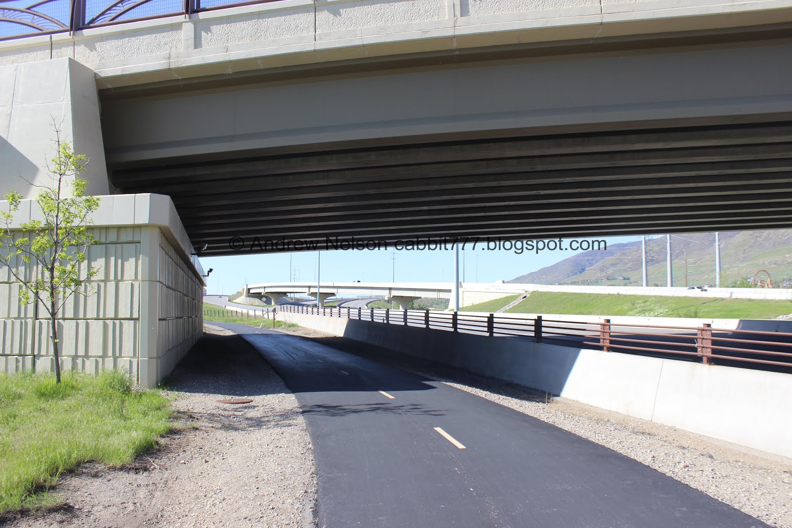
Heading back under State St.

Farmington Canyon above Lagoon.

Farmington Creek. Looking quite a bit more swollen than the last time I saw it.

The trail.

Mile Marker 12 was almost hidden from this direction and I almost missed it.
I just checked the map again, there is only about 8/10 of a mile from here to the end, so yea, not quite 13 miles.I am not sure why they say it is 14 miles.

This section of the trail lies behind the large shopping complex in Farmington. However, on the plus side, the Legacy Parkway is raised up here so you don’t hear it as much.

Then we pass by the Farmington Frontrunner Station. This can be a good point to point option and then taking the train back. Might be a good option for a longer walk/ride.

Heading under Park Ln.

Holy cliff swallow nests batman! Wow!


The Aaron F Richards Trail Head.
This one talks about the old farm that used to be here before they built these apartments.

The trail again. Meh.

After the Frontrunner Station the benches no longer follow the other Legacy Parkway Trail bench styles. But they are a bit more plentiful.

Baer Canyon left. Shepard Canyon middle, and Farmington Canyon on the right.

Frontrunner going by.

Little pond in an open field. This was the most enjoyable section of the trail. However I imagine eventually this will be housing one day as well.

Red Barn Farms Trailhead. End of the Legacy Parkway Trail. At about 1.45 miles from the trailhead I used.

Said Red Barn Farm.

I’m not sure what creek this is, we already crossed over Farmington. Maybe Sheperd? Or possibly just a redirected portion of Farmington.
If you want a longer loop option you can head west here on Red Barn Ln, which becomes Burke Ln. And then connect to the Rails To Trails Trail to head back south. Depending on what you do from there this would be about a 3.5 - 4 mile loop. But that would involve more street side walking than I wanted to do today, so I turned around.

Heading back south.
Steed Canyon and Davis Canyon.

Farmington Canyon again.

Back to the Aaron F Richards Trailhead.

Back to the Frontrunner Station.

The benches looking more like the others along this trail.

View of the mountains to the south.

Well, I found where Farmington stores their garbage cans.

Mile Marker 12 again. if there was a 12.5 I missed it both ways.

Davis Canyon again.

Almost back to State St.

Farmington Creek looking particularly swollen.

I hate graffiti, but this is pretty neat, and at least it isn’t on a natural area.

Back to the Farmington Creek Trail connector.

Pretty itty bitty flowers.

Large bird overhead. It’s too far away, but I am thinking either a great blue heron, or a sand hill crane.

Short little jaunt along State St. to get back to the trailhead.

View of the Legacy Parkway Trail section I did last time.

The pedestrian bridge again. I didn’t struggle with it as much on the way back. I guess I just need to do it once to realize it’s not that bad.

Looking south along i15.
Meh. As I thought it would be, this was my least favorite part of the trail, but I am happy to say that I have finally completed it! I guess I am a little bit of a crackhead and just really wanted to finish it. It was a little quieter, but there just wasn’t much to see. 4 squirrels. I ended up adding a quick trip around nearby Woodland Park to get a little nature in.
As for difficulty, It is paved and mostly flat, DR2.
Dogs are allowed, leashed. Please clean up after your furry friends.
