.jpg)
The Great Salt Lake State Park is mostly a marina. However there are 2 nice beaches to explore. There is also an amazing rare phenomena occurring right now, which is what brought us out today. After checking that out we decided to explore Sunset Beach and finally Black Rock. I have been wanting to check this monolith out for a couple of years now. So this was the perfect addition to the short adventure we came out here for.

Quick Details:
Length: 2.4 miles out and back. We added about .2 miles around Black Rock as well for a total of 2.64 miles.
Trail Type: Out and back.
Difficulty: Partially paved, but mostly beach sand and mud. DR3.
Elevation Gain: NA
Restroom: Yes at the Great Salt Lake State Park.
Dogs? Leashed.
Other Info: Fee area. $5.00 per car. Also, I recommend waterproof boots due to all the stream crossings.
To Get Here:
Take i80 to exit 104. Head north. Turn left in front of Saltair. Continue down the narrow rd to the fee station.
Head towards the marina, and skirt around the southwest side of it to find the trail.
The Trail:

I started the mileage at the map kiosk located in front of the restrooms for the marina. From here we head left and skit around the marina.

State Park sign.


The marina.

Just follow the signs.

Last little bit on the back end of the marina.
It’s lined with a bunch of old trailers. I guess boat owners can just leave them here? Weird.

The marina.

About 3/10s of a mile later, we finally reach the beach access.

This is the worst part, trudging down the embankment with really loose beach sand.

Black Rock. Our intended destination.

Stansbury Island.

There are quite a few little streams to cross along the way. At least, this time of year anyway.

Does anybody have an idea as to what these weird potholes are? My first thought was antlions. But most of these are way too big for that, and I don’t know if this is a good environment for them. My next theory was rocks in moving streambed that worked down, but none of the pits had rocks in them. So, yea. I am out of ideas. But there are a ton all over this beach.

Stansbury Island and some of the streams.

A faint solar halo.

Looking towards Black Rock.

More of the potholes.

Looking into one of them.

Antelope Island.

Stansbury Island on the left, Antelope on the right, and I believe that is Freemont Island in between.

Dry stream bed.

Freemont and Antelope Islands.

Not sure if this is a small mirabilite formation, or just a random bit of salt.

This rock formation almost looks like a volcano.

Weird crumbly stones.

Antelope Island again. The lake is a lovely turquoise today.

We reached a jetty, that I thought Black Rock was on. Nope, just an extra jetty, we still have a little ways to go. Oi.

Random bones.

Heading across the beach.

The weird volcano shaped mound again.

Particularly wide stream.

Heading out to the lake.

Whelp, we have to cross it eventually. Like all the other streams, it’s shallow. So our waterproof boots handled it just fine.

Such a weird monolith.

Looking back towards the Kennecott Smelter Stack.

Bird prints. Oh, and a dog print too.

Another pothole.

About 1.2 miles later, we made it! Wewt!
I think we officially crossed over into Tooele County here as well.

It certainly has character.

There is even a little arch.

From the north, or the side facing the lake.

The lake. With a bunch of seagulls.

Just a fun big ol rock.

The arch is a little better from the west side.

It kind of resembles an elephant from this vantage.

I was starting to wonder why it was called Black Rock, but I guess the lower portion is black.
Some people like to climb to the top, and if I was so inclined to do so, this looks like a decent enough route.

Coming around to the southern side.

Now here is a black rock.

These weird black spots look kind of like fossils. But, I don’t know what they are.


From the south.

Oh, is that a cave?

Eh, more of a crack.

Looking up. There are a couple of rocks wedged in.

I wonder if there is a story behind this. But it's probably just some cheeky teenager saw a tombstone shaped rock on a mound.


Black Rock again.

Antelope Island again.

Another little crack.

One last look before we head on back.

Looks like we might finish our hike along Sunset Beach during the sunset.

Stansbury Island.

Heading back across Sunset Beach.

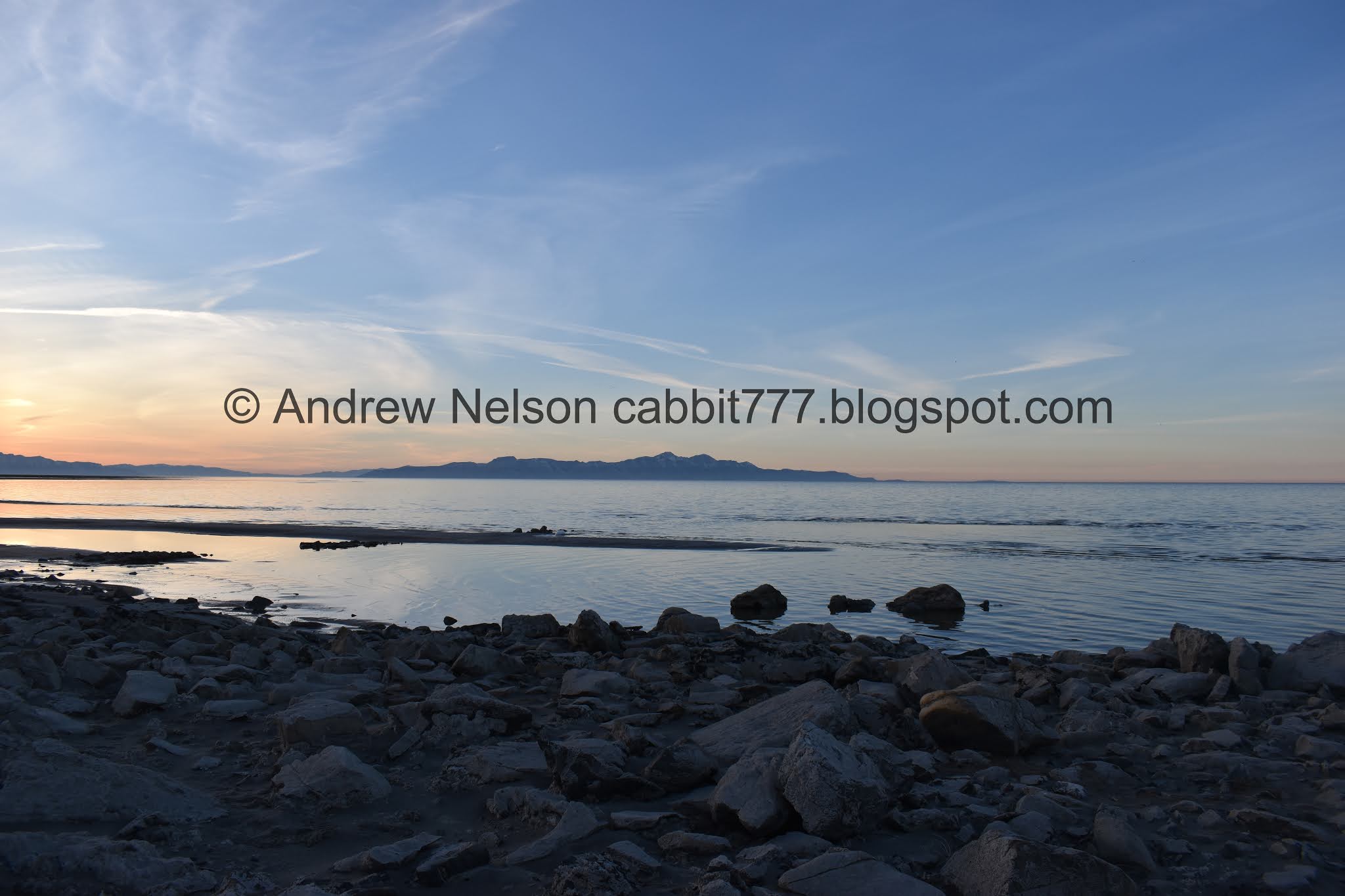
We can see all the way to Ben Lomond on this beautiful clear day.

Most of the Wasatch Front and antelope Island.

The random streams offer some fun textures and colors.

Bird tracks.

The Kennecott Smelter Stack again.

Peaks above.

The volcano looking mound again.

The lake and mountains.

Looking back towards Black Rock.

More of the potholes.

More bird tracks.

The smelter stack again.

Wind swept sand. You know, it is a lake, a great lake, but walking along the beaches is very similar to walking along a beach in Oregon.

For some reason I wanted to walk around the tip of this jetty. On the way in we just walked up and over it, which was easy enough, but I wanted to see the tip I guess.


More of the potholes.

Oh boy. This is rocky.

Very rocky jetty.

Antelope Island again.

Stansbury Island, Freemont Island and Antelope Island.
Stansbury Island.

The mountains.

The wonky shoreline of the Great Salt Lake.

The sunset is starting.

The lake.

Zoomed in a bit, it almost looks like the ocean.

Another dry stream bed.

Antelope Island and Ben Lomond Peak lit up behind it.

The mountains and wonky shoreline.

Sunset and a little sun dog.


Some of the streams have different algae or other things in them that make some interesting patterns.

The stream heading out to the lake.

This shot kind of looks like an aerial shot of an alien planet.

I wanna say these are brine shrimp carcasses but, I am not 100% sure of that.

More texture.

The lake again.

More of the potholes.

Streams heading towards the lake.

More texture.

Triple pothole.

More sunset.

Antelope Island again.


More texture.

Looking back towards Black Rock.

More texture.

We found our own footsteps from the other direction. Guess I did pretty good honing in on the right spot.

Heading back up the sandy embankment. Oi. Up was worse than down, but its pretty short.

Guess we’re not going to get a spectacular sunset today. But, not bad.

Sunset with the Sunset Beach sign.

The marina again.

Looking back towards Black Rock.

Phragmites. An invasive weed.

Its a little hard to see, but that boat is all lit up for Christmas.

Back to the main parking lot and looking onto Silver Sands Beach with the Mirabilite Spring Mounds.

Just as we were getting ready to leave, the sunset decided to pop.

Little bit of pink behind the smelter stack.

Pretty.

Saltair 3 (PSP).
I actually quite enjoyed this little walk. For being a random add-on to a shorter adventure there was a lot to see. Black Rock is a pretty neat monolith as well. If I understand correctly, you can reach it from the back road, and do not have to go through the state park. Also, because it is a little weird to get to, the beach was a lot less populated than Silver Sands Beach. 8 out of 10 squirrels today.

As for difficulty, it is mostly flat, and even partially paved, but there are some beach sandy sections, shallow stream crossing, and some definitely muddy sections. DR3.
Dogs are allowed, but must be leashed. Please clean up after your furry friends.
