Midas Creek is a dry creek (at least this time of year) in a very shallow gully in Riverton/Herriman. I’m just going to say, don’t go out of your way to do this one. As far as neighborhood creek trails go, I really didn’t care for this one. However, with the storm blowing it was a nice safe option, and we didn’t pass too many people so, I guess that is a win. It looks like this trail was just recently completed last May. Wow. didn't realize it was so new.
Quick Details:
Length: We did 3 miles out and back. It looks like we were near the end anyway, but I am not 100% sure. There also appears to be a lower section we did not do.
Trail Type: Out and back or connecter.
Difficulty: DR2
Elevation Gain: About 130 ft.
Restroom: No. But there is likely one in Copper Creek Park near the beginning.
Dogs? No. Big Cottonwood Canyon is watershed.
Other Info:
To Get Here:
Take i15 to 114th S. head west for about 2.25 miles and turn left on Redwood Rd. Go about a half mile and turn right on 118th S. Head west for about 3.10 miles and turn left on 4510 W. Go about a quarter mile and you will see the trail on the right.
Or take Bangerter Blvd. to 114th south. go west, take the first left onto 4000 w. Turn right onto 118th S. Left onto 2510 W. Go about a quarter mile and you will see the trail on the right.
The Trail:
We picked up the trail at Midas Creek Grove on Park Haven Ln. You could also park around the corner at Copper Creek Park if you don’t want to park on the street. We will be heading west.
Across the street you can see the trail continues east. Looks like probably pretty close to ~1.5 miles down to Midas Creek Park.
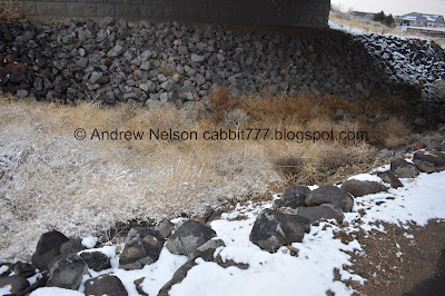
The dry Midas Creek.
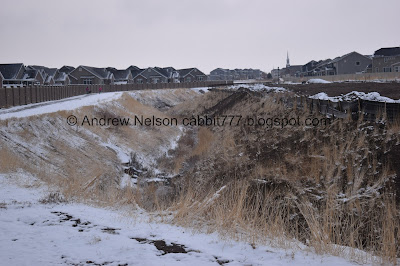
Viewing the entire gully.
Something throughout this section smelled quite strongly of pickles. I looked up what wild dill looks like, and that didn’t seem to match anything we were seeing, so I have no idea what it was.
There are a lot of connecting trails, however it is pretty easy to determine which one to stay on to follow the creek. We will go right here. Forward leads to Copper Creek Park.
The little mini gully.
Again.
Another connector trail. I guess the creek is so small that instead of a bridge they opted for a a couple tiny channels.
First street crossing at 4775 West.
The little gully again.
I am terrible at identifying most birds, particularly the smaller ones. But I am thinking house sparrows here.
The creek bed again.
Another connector trail. Keep right.
Creek bed.
2nd road crossing at S. Black Powder Dr. Due to the cars parked along the street I didn’t immediately notice the trail split, the trail is on both sides of the creek here. Both trails connect again, but the left side is a more direct route. We ended up taking the right.
Trail on both sides.
Herriman Trail rules. Basically, no motorized vehicles, dogs must be leashed, and clean up after yourself and your pets.
Creek again. We both were hearing what sounded like running water, but the creek is definitely dry. It was a little confusing.
I finally took my coat hood off and was able to determine it was the power lines making all that noise that oddly sounded like running water. I guess with the extra moisture in the air they are quite a bit noisier.
I am not sure where that trail leads. It looks like it just ends eventually.
Heading left connects back to the Midas Creek Trail. Then right again after the bridge. Forward leads to Black Powder Park, and possibly beyond.
Dry creek bed.
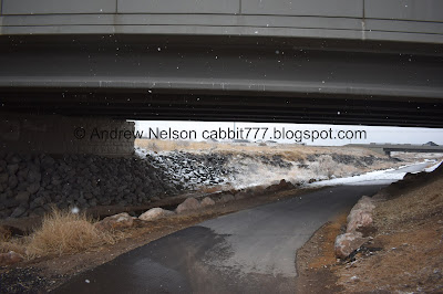
About to cross underneath the Mountain View Corridor. Northbound.
The creek bed seems to be a nice trap for tumble weeds.
Southbound.
Creek bed.
The creek bed again. Is that Daybreak out there? (No, just a similar looking neighborhood).
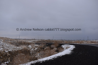
Moody skies making it look like the trail into nothingness,
Little section of nothing.
Where Butterfield Creek (left) joins Midas Creek.
One of the restaurants over there smells amazing! This seems to be the trail of smells!
Crossing over Butterfield Creek.
Following the curves of Midas Creek.
Here you have the option to go up to the road, or go underneath it. I think the original intent was to allow access to the trail from the road. Not to cross it. So, stay to the right.
Crossing under Main St.
Now we are back in the neighborhoods.
Well. This trail wasn’t really doing it for me. So we decided that we would turn back at 1.5 miles. I might enjoy it more if the creek was flowing and maybe if we could see the mountains.
Bridge to allow access for the neighborhood on the other side.
Arches park.
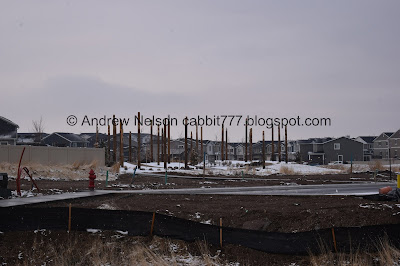
I zoomed in on my picture to see what the deal with those poles was and well, neat! They look like kind of totem poles with different animals. If I had realized that at the time I would have kept going to see them a little closer.
Just before the bridge was 1.5 miles. Looking at google maps, which has not updated since the trail was completed, it looks like the trail ends just a smidge over a tenth of a mile later at 5600 w. Which, if I had realized I would have just pushed on to the end, but meh. Not the end of the world.
Heading back.
Fun snowflakes.
The creek again.
Approaching Main Street.
Like I said, I would probably enjoy the trail a bit more if I could see the mountains.
Crossing Butterfield Creek
No mountains. :(
The two creeks, side by side just before they join.
Crossing underneath Mountainview Corridor.
The creek again.
Back to the sage brush area and the pickle smell.
Final road crossing.
Creek.
Back to Midas Creek Grove.
With the dry creek bed.
Meh. Like I said, I might have enjoyed this trail a bit more if the creek was running, and maybe if we could see the mountains. However, there is a reason we chose to do this creek today, with the crappy weather. We only passed a few other people. but honestly there just wasn’t much to this trail, and a lot of it was too close to peoples back yards. If I lived in the area I would probably use it often, but I am not going to go out of my way to return. 4 out of 10 squirrels.
As for difficulty, the trail is paved and has a gradual incline. DR2.
Dogs are allowed but must be leashed. Please clean up after your furry friends!
.jpg)











No comments:
Post a Comment