.jpg)
The new Badger Cove Trailhead in Dimple Dell Regional Park in Sandy finally opened a few months ago so we decided to come check it out. I have been watching it being built for a little while now so it was great to finally be able to use it. The new trailhead has all updated amenities, flush toilets, drinking fountains, paved parking. It appears to connect to the Dry Creek Trail. I totally spaced my camera's memory card today, so just iPhone pictures today.

Quick Details:
Length: We just did a short mile out and back, however there are definitely longer options.
Trail Type: Out and back, loop options.
Difficulty: For what we did, a simple DR3.
Elevation Gain: We did about 100 feet today.
Restroom: Yes, flush toilets. No soap though.
Dogs? Yes, leashed at all times though.
Other Info:
To Get Here:
From i15 take the 106th south exit. Head east. Just past 13th east there is a small turn off for Badger cove on the left. Follow that down to the trailhead.
The Trail:

The new trailhead features flush toilets, drinking fountains, ADA parking and a few picnic areas. Unfortunately, the restrooms do not provide soap though.

As far as I can tell, at this time, the trail access is to the west, past the picnic areas.

It starts out with a wood chip lined trail.

Then the turn off heading down into the gully is beach sand. Which as far as I can tell is what gives Sandy it’s name.


Very quickly we find ourselves in a nice forested section.

Dry Creek is no longer dry.

More forest.

Better shot of Dry Creek. A few years ago the city worked with the water rights to try and allow Dry Creek to flow once more down this gully. It is really nice! However in my experience some trails were cut off.

The creek again.


I think this is houndstongue.

Then we pop out of the forest and find ourselves in a more desert landscape.

Mount Jordan.

The creek again.
Well, we just wanted something short today, and we hit about a half mile, so we decided to head back.

Heading back.

Wallflowers. We had these in our garden last year, but they did not come back this year.

I think this is purple dead nettle, a type of mint.

Cliffs on the other side.

Overhanging trees.

Some equestrians were “towing” a cute little baby. Whom the riders advised was a naughty little baby.

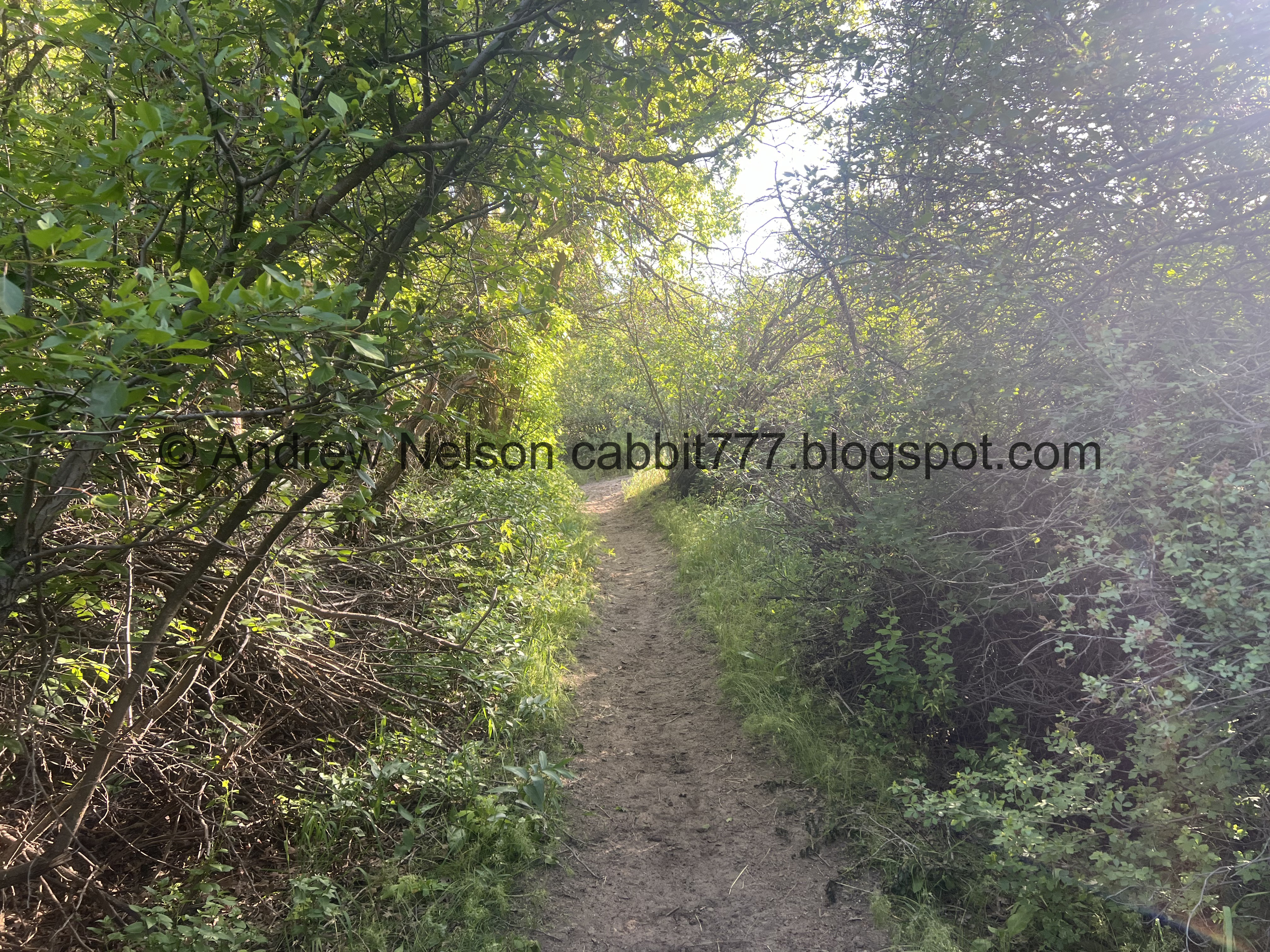
More pretty forest.

Small clearing.

Dry Creek again.

Upstream.

This kind of looks like beaver activity, however I am pretty sure there aren’t any beaver in here.

The creek again. It is so nice to see it running now.

More forest.

Whoa! Big clovers!

They are almost as big as some that I have seen in Oregon.

Oregon clover to compare.

More forest.

I forget what these are.

Getting pretty thick.

Another flower I am not sure about.

Then we hit the sandy beach sand again.

Short narrow path through some bushes.

Looking up at the new trailhead.

Looking back towards Mount Jordan.

Back to the woodchip lined path.

Looking back down into the gully.

Cliffrose.

Back to the trailhead.
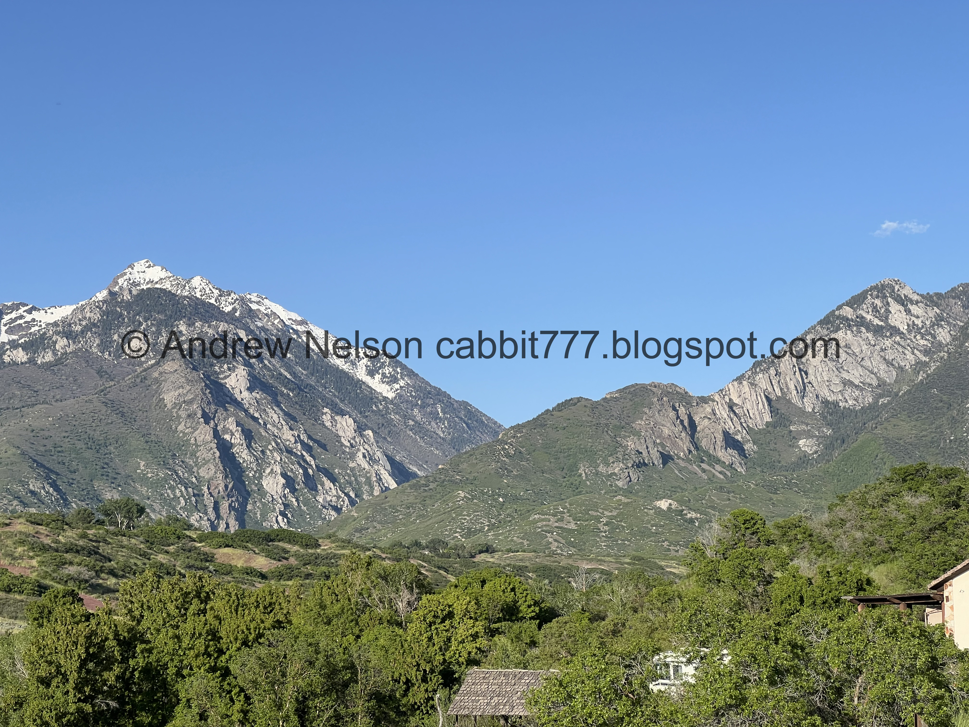
Little Cottonwood Canyon and Bell Canyon.

Quail.
Well, that was a fun, quick little jaunt in Dimple Dell. The new trailhead is great and offers quick access to the bottom of the gully without a crazy climb back up. Plus the amenities are nice with flush toilets, running water, drinking fountains and picnic areas. I do wish they provided soap though. But otherwise it is great. 9 out of 10 squirrels today.
As for difficulty, it is pretty easy going, you do have to return uphill but its not too bad. DR3.
Dogs are allowed, but should be leashed at all times. Please clean up after your furry friend.


