.jpg)
The Little Valley Loop is a lovely trail along the foothills of Draper. It features a nice mixed forest and some nice views of the valley. Part of this trail is shared with a mountain bike instructional area, but it is not too bad, and the signage is more than adequate to keep you on the right trails. We tried to do this trail a couple of months ago, but with the snow it ended up being too much, so I was happy to come back and experience the full thing today.

Quick Details:
Length: About 1.56 mile loop.
Trail Type: Loop.
Difficulty: It is a very gradual, gentle climb. DR3.
Elevation Gain: About 300 feet.
Restroom: Well, there was a porta-potty today. But if that is not there, there are pit toilets at Potato Hill.
Dogs? Yes, but must remain leashed at all times.
Other Info:
To Get Here:
From I15 Take exit 288, or 14600 S in Draper. Go left. Go almost a mile and turn right on Traverse Ridge Dr. About 2 miles later turn Right onto a short dirt road to the small parking lot.

From where we were for Mothers Day we approached from a kind of different direction and passed Draper City Park and The Tree Of Light (Passenger Seat Photography (PSP)).
The Trail:

The foot hills are super green and pretty! I am glad we decided to come and redo this trail today.
Last time we were here this trailhead parking was closed. I imagine due to it being a dirt road and during the wet season. But it was open today.

Trailhead kiosk.
As I mentioned, part of this trail is part of the instructional trails. The goal to these trails is to train children and beginners how to navigate normal obstacles and learn basic trail etiquette. I think this is an awesome idea and I applaud Draper for putting this in!
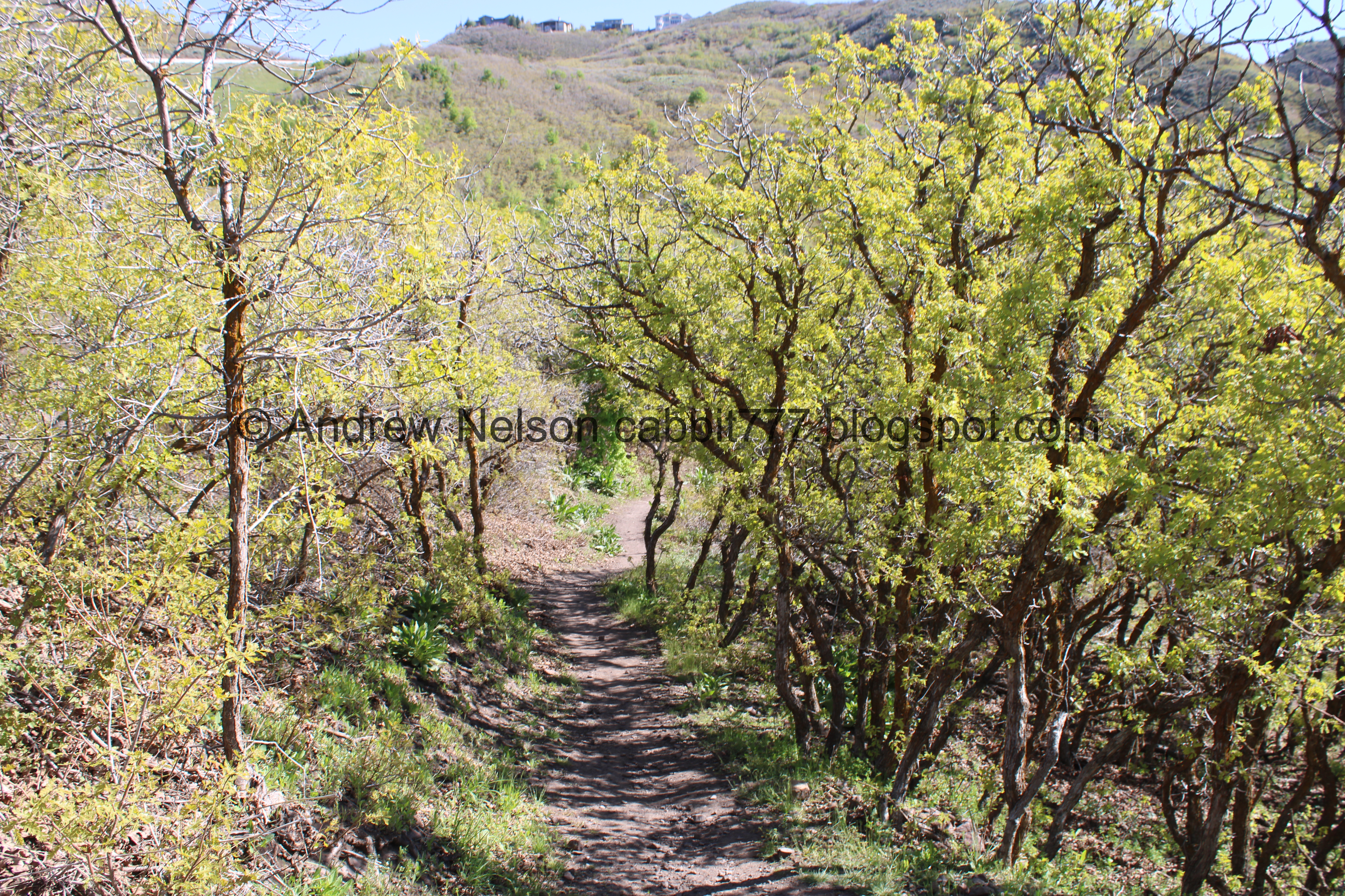
So, the A and B trails are bike only. and the C and D trail are mixed use. you can go either way, but we decided to go up the D trail, and do the loop the opposite way than we did last time. You can also use the Main Line trail, which is a shorter quick way up, but what is the fun in that?

Heading up the D Line.

Hills above.

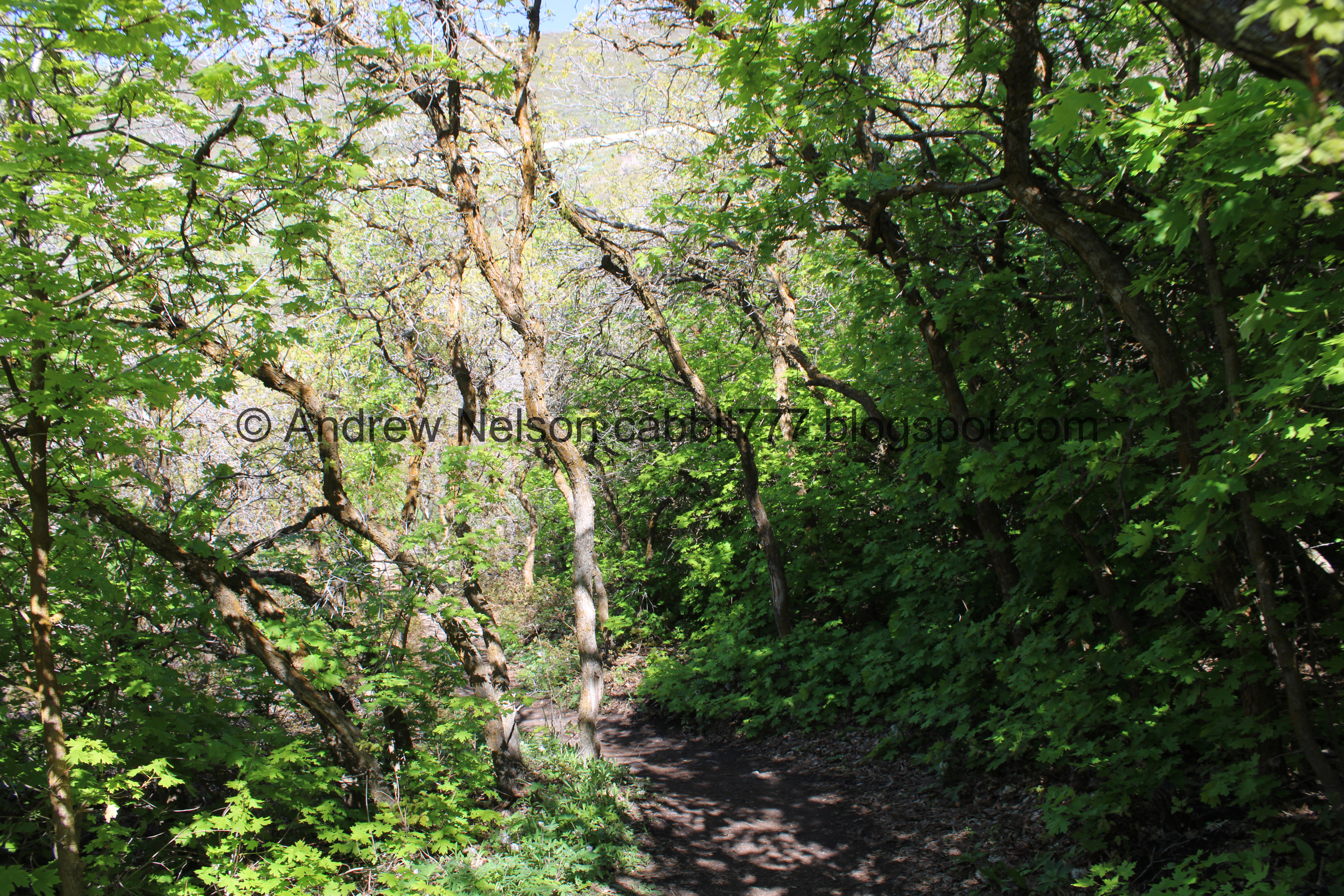
Into the woods!

Bailhead waterleaf.


More forest.

Only 2/10ths of a mile later we reached the Little Valley Loop Trail. If you want a super short adventure, you can go left. We wanted a little longer option so we went right.


More pretty forest.

It opened up enough to see Potato Hill and the parking area below.


More forest.

More waterleaf.

Forest.

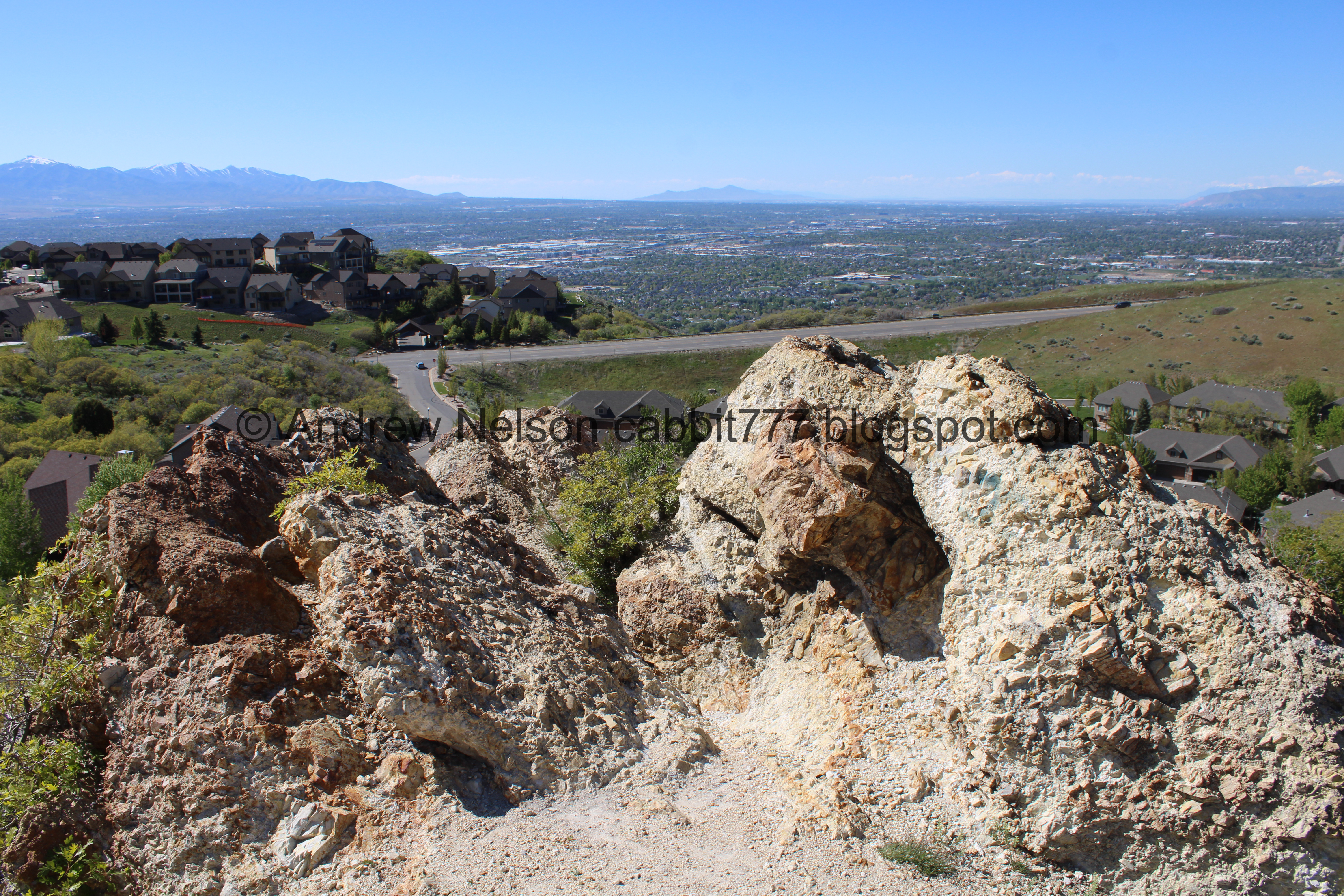
Big rock outcropping.

Plants growing out of a crack in the rock.

Looking up.

Fun erosion pattern.

Houses on the hills above.

Looking back at the big rock.

Again.

Phlox.

Little daisy.

Arrowleaf Balsamroot.

Myrtle spurge. Ick. These are all over the place up here. Be wary and avoid getting any of he sap on you as it can cause burns and irritation.

More forest.

Bunny! It actually scarred the crap out of us taking of so suddenly.

More forest.

Stream bed.

Probably the worst of the climb.

Starting to get a view of the valley below.

This part started to make me a little nervous, but it wasn’t too bad.

Itty bitty little yellow flowers.

Neat rock outcrop at the top of the ridge. I am pretty sure this is the top of the rock we went around earlier.

Potato Hill across the way.
.jpg)
Panoramic view.
The rocks again.

Potato Hill and the Little Valley parking lot below.
The valley again.

Just a little bit more climbing.

Into a patch of trees.

Woodland star.


More forest.

The tunnel under Traverse Ridge Rd. It takes you over towards Potato Hill.

More forest.

Larkspur.

More.
Grasshopper.

The valley again.
.jpg)
Panoramic.

More climb.

Bailhead waterleaf.

The valley below. You can see The Claw from here.

Potato Hill again.

The parking lot and trailhead below.

Arrowleaf balsamroot.

We have reached Ann’s Trail, you want to hang a left to complete the loop. Right keeps climbing. This is also the highest point on this loop.

The other side of the sign.

Potato Hill and the tunnel under Traverse Ridge Rd. and Little Valley below.
.jpg)
Panoramic.

Oregon grape.

Phlox.

Little Valley again with the lower and upper kiosks.
.jpg)
Panoramic.

More balsamroot.

Continuing down.

I think this is about where I turned around last time cause I wasn’t liking the thin high trail with snow (looking back uphill). I am glad we decided to try it again, cause without snow it isn’t bad at all.

Continuing down.

More bailhead waterleaf.

Potato Hill and the tunnel under Traverse Ridge Rd. again.

More forest.

Little bridge.

Over a little stream.

Grassy hillside.

Deer tracks.

The trail across the grassy hillside.

Looking back at the rock outcrop we went over before.

Across the valley towards the Oquirrh’s.

Another trail split. Right will take you under Traverse Ridge Rd. towards Potato Hill, forward is an overgrown footpath, and left will put you back on the Little Valley Loop trail. So we went left.

Little Valley and the hills on the other side.

Back into the forest.

We kept hearing some kind of critter scurrying around in the underbrush. We eventually saw a mouse, then another. Terrible shot here, they are super quick to dart under the leaves. But we did see a few of them!


More forest.

Mullein.

More forest.

Back to the upper kiosk for the instructional trails.

Closer. Again, the A and B Line trails are downhill bike only trails. so we can use the Main Line or C or D Line. We came up D So we deiced to go down C to maximize the loop.

B Line, Main Line and C Line are to the north.

Heading down the C Line.

This looks unpleasant.

Back into the forest.

More deer tracks.

Mostly scrub oak.

I thought these were some kind of balsamroot that just hadn’t flowered yet. However, it looks like it is some kind of dock.

Little pond below. I think this might just be a run off pond, but I could be wrong.
More forest.

A pair of bridges.

The little pond again.

A dry streambed.

More forest.

Continuing down.

Nice trail.

Almost back to the trailhead.

We hit the Main Line.

Little covered picnic area.

Back to the parking lot.

Looking back at the trailhead.

The hills above.

Hang glider.

The hills again.

The tip top of Potato Hill.

Some people to thank for some of these trails.

A para glider over Potato Hill.
Well, that was a fun loop! I am glad we decided to give it another try. I did not struggle with it as much as I did when there was snow and ice. I loved the views, and the little forest. It also was not too busy, which is always a plus. There was a family using the instructional trails for what they were built for, teaching kids how to mountain bike. So, I would say it is a success! I am going with 9 squirrels today.
As for difficulty, it really is just a mild climb. DR3.
Dogs are allowed, but must remain leashed at all times. Be sure to clean up after your furry friends.

No comments:
Post a Comment