.jpg)
I really have a hard time finding a good trail to do this time of year. I always want something without snow, and preferably not muddy. And with the situation going on right now in the world, I really wanted something that was not popular so that I felt like I could safely social distance, so this seemed like a good option.

Potato Hill from The Bonneville Shoreline Trail
Quick Details:
Length: The guide I used said it was about a 2 mile loop. We did closer to 2.25.
Trail Type: Loop. Top Down. Out and Back or Connector options.
Difficulty: DR3. I think it would be a little more tough if you reversed the trail.
Elevation Gain: About 440 feet
Restroom: Yes, but right now I recommend avoiding it, if possible.
Dogs? Yes, leashed. This trail is just below the watershed boundary though so be sure to familiarize yourself with the area before adventuring further. Though, I am sure it is signed.
Other Info: This trail starts at the top, and you have to work yourself back up.
To Get Here:
From I15 Take exit 288, or 14600 S in Draper. Go left. Go almost a mile and turn right on Traverse Ridge Dr. About 2 miles later turn left into the small parking lot.
Go through the gate at the NW end of the parking lot and turn left. Signed for Red Potato Trail.

Driving up Traverse Ridge Drive you get a nice view of Potato Hill in front of Mount Jordan (PSP). Note, the parking lot is right by it, so keep an eye out for the turn out.

I took this shot on the way out, but just to show that it is signed (PSP).

Map at the TH kiosk. There is a huge mess of trails in this area, but luckily this section is pretty strait forward.
The Trail:

As I mentioned above, after you pass the kiosk you will turn left and should see the sign for Red Potato Trail.

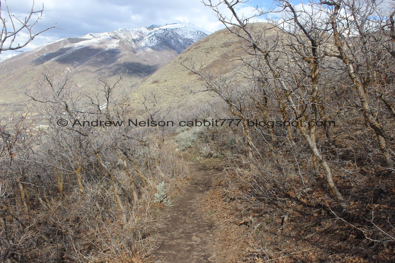
Heading on down.

Thin, open trails on steep hillsides really tend to freak me out. I almost turned around and called the trail a nope. But, the trail was pretty wide so I just slowed down and tried not to think about it too much haha. Well, it worked, this is the worst of it, and I made it through.

Plus, check out that view!

Longest switchback ever!

Oh hey, I found the aquarium’s claw.

Panoramic view.

Looking back up at the hill.

I was wondering what that random patch of yellow was below. Luckily the trail will pass through it soon.

There were a couple of muddy patches, but not too terrible.

The view again.

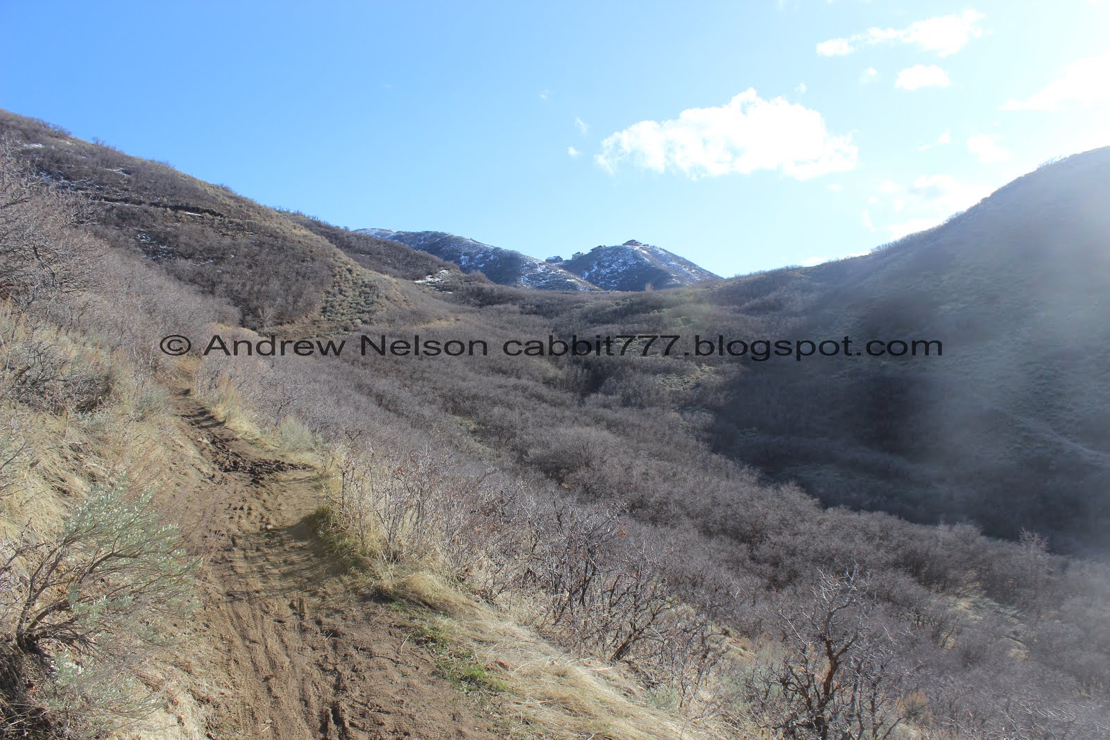
Before long the trail is back on a wide bench. No more crazy switchbacks.

A couple of patches of snow still hanging on, but none of it is on the trail, right now.

Another panoramic.

Looking back at Potato Hill. You can see the switchbacks we came down, and they definitely don’t look so bad from down here.

Into a patch of scrub oak, that looks like it might have been through a fire at some point.

This trail split must be new. It wasn’t mentioned in the guide, nor was it on the map. Go right here. In fact, after the initial left turn at the trail head, all splits will you will hang right.

Meandering our way down. I started to wonder why this was called Red Potato. The soil isn’t red. I was leaning towards it being just another play on the word potato, which it is, but also, that previous trail split, and the BST below connect to a trail going to a climbing crag called Red Rock.
More scrub oak.

Potato Hill again. I am starting to think my initial idea of: it kind of looks like a potato, is probably likely the reason for it’s name.

Antelope Island off in the distance.

A couple of stream channels to cross.

I am pretty sure these are phragmites. Which leads me to think this must be a spring, and not just run off, as water plants shouldn’t thrive in a run off channel, right?

The little stream running down the hill.

At about 3/4 of a mile you will come to the signed trail split for the BST. You will swing right here. Left will take to towards the Red Rock Climbing Crag and the Red Rock TH. Which Is a good alternate option to avoid starting at the top. Looks like it would add about 3/10’s of a mile one way, or 6/10’s both ways.
View after we swing north on the BST. Those switchbacks look worse than they really are from down here.

Crossing the little stream with the reeds again.

I could do with a little bit more boardwalk through here. But, this was the worst muddy section.

Looking up at Potato Hill.

Looking out across the valley.

This segment of the BST is fairly close to Mike Weir Drive which is a somewhat busy road. I did not particularly care for it.

Red rock scree field. Odd.

Potato Hill again.

Another scree field.

Then a quite a bit larger one.

Into another scrub oak forest.

Game trail.

Potato Hill again.

Another little stream.

As we come around the ridge line we start skirting into Corner Canyon.

Another panoramic. Suddenly I have the weeds theme song stuck in my head…
Little boxes on the hillside,
Little boxes made of ticky tacky
Little boxes on the hillside,
Little boxes all the same,
There's a pink one and a green one
And a blue one and a yellow one
And they're all made out of ticky tacky
And they all look just the same.

Okay, that one doesn’t look the same. Kind of neat looking, but uh, just a bit excessive.

Mount Jordan with Corner Canyon below.

Then the switchbacks start oh boy. Actually they aren’t bad at all. I got myself all psyched up that it would be as bad, or worse than the other side, but really it’s not.

Switching the other way again.

You will pass 2 neighborhood connectors that veer to the left (the 2nd one was a little faint). As I mentioned earlier, always keep to the right.

This is the major trail split we are after it is at about mile 1.6. You will want to go right. Left will continue along the BST into Corner Canyon and beyond.
Last I checked, the BST continues north all the way to Rocky Mouth Canyon, un-broken. Eventually they will complete the section all the way to Little Cottonwood Canyon where it will connect to other sections leading all the way to Idaho when, one day it is complete.

The other side of the trail marker.

Still enjoying the scrub oaks.

Heading across an open field.

Looking back towards Mount Jordan.

This was the absolute worst of it on the way up. It’s super short, and as you will see when we go around that corner, it’s much better after. There appears to be a nice viewpoint up there.

Around the corner you can see the trail swing into a shallow gully and work it’s way up to the saddle up there. Phew! That is not bad at all. See, I just get myself worked up for nothing sometimes.

Potato Hill, with some serious glare. Ick.

The outcropping that is the viewpoint. I didn’t dare go out any further.

The view.

Panoramic.
Working our way up to the saddle. We must have gained a lot more elevation than I realized on the BST cause this is nothing.

The saddle.

The view again.

More scrub oak.

Potato Hill from the saddle.

Little creek. Probably the same one we crossed earlier.

Final trail split. Again, head right. Left will connect you to Anne’s Trail.

Looking to the left towards Anne’s Trail. If you have more energy and want to keep going great. just know if you brought your dogs you cannot do the section above here (to the left) and will need to go right under the tunnel.

Potato Hill again.

Okay, I guess I lied. There is a faint trail split to the right that leads to the peak, but you want to stay on the main trail. It looks like this does reach the peak, but I think the trail on the other side looks a little better.

Back to the trailhead.

I was hoping to add the short trail up to the peak today, as it didn’t seem like it was long, or terribly difficult to reach, but it looks like everybody else parked here was doing that, and it didn’t seem like we could do it while properly social distancing. Anyway, like I said, it looks pretty short and easy. Shouldn't add much more than 1/10ths of a mile at a guess.
That was a fun little trail system. Like I said, this trail magically seems to descend more than it ascended! It was a great option to do today as it wasn’t snowy, too muddy, and it wasn’t busy at all. I wasn’t sure how much I would like this trail, but I actually really enjoyed it, well, except for that section along Mike Weir Drive, so I will remove a squirrel just for that. 9 out of 10 squirrels.
As for difficulty, as mentioned, if you go the way we did, it was not that bad at all. DR3. I think going the other way might be a little more tough.
Dogs are allowed, leashed on all sections we did. Do note, you are just below the watershed line so if you plan to go higher, leave Fido at home.

No comments:
Post a Comment