.jpg)

Quick Details:
Length: 2.2 miles out and back.
Trail Type: Out and back, connector, and it looks like you might be able to make a balloon trail by connecting to the Perimeter Trail on the other side of the river.
Difficulty: DR2.
Elevation Gain: NA flat.
Restroom: Not at either end.
Dogs? Yes, leashed.
Other Info: JRP MM 25. Cities: West Jordan.
To Get Here:
From i 15, take the 7200 S exit. Head west for about a mile and turn Left on Triumph Ln. Park. The trail is at the east end of the parking lot.
The Trail:

The parking lot on Triumph Ln. Notice the opening in the fence to the left there.

Trail kiosk.

There is a nice little sitting area at the trailhead to just enjoy the river.
Heading down the trail. Sadly the reeds obscure the river for most of the way.

Couple spots it can be viewed though.

The first junction. It says forward, but really you will go right for a second, and then forward. left will be your south connection to the Perimeter Trail.

The next junction is about ~20 feet later. We found to be a little confusing, and we ended up going the wrong way. You want to go left here and cross the side creek. Here is some extra.

View of the mountains.

The little side creek.

Luckily it didn’t take us too long to realize we had gone the wrong way and only added about 1 - 2 10ths of a mile (not included in mileage above). Anyway, this is the bridge you will cross to stay on the main trail.

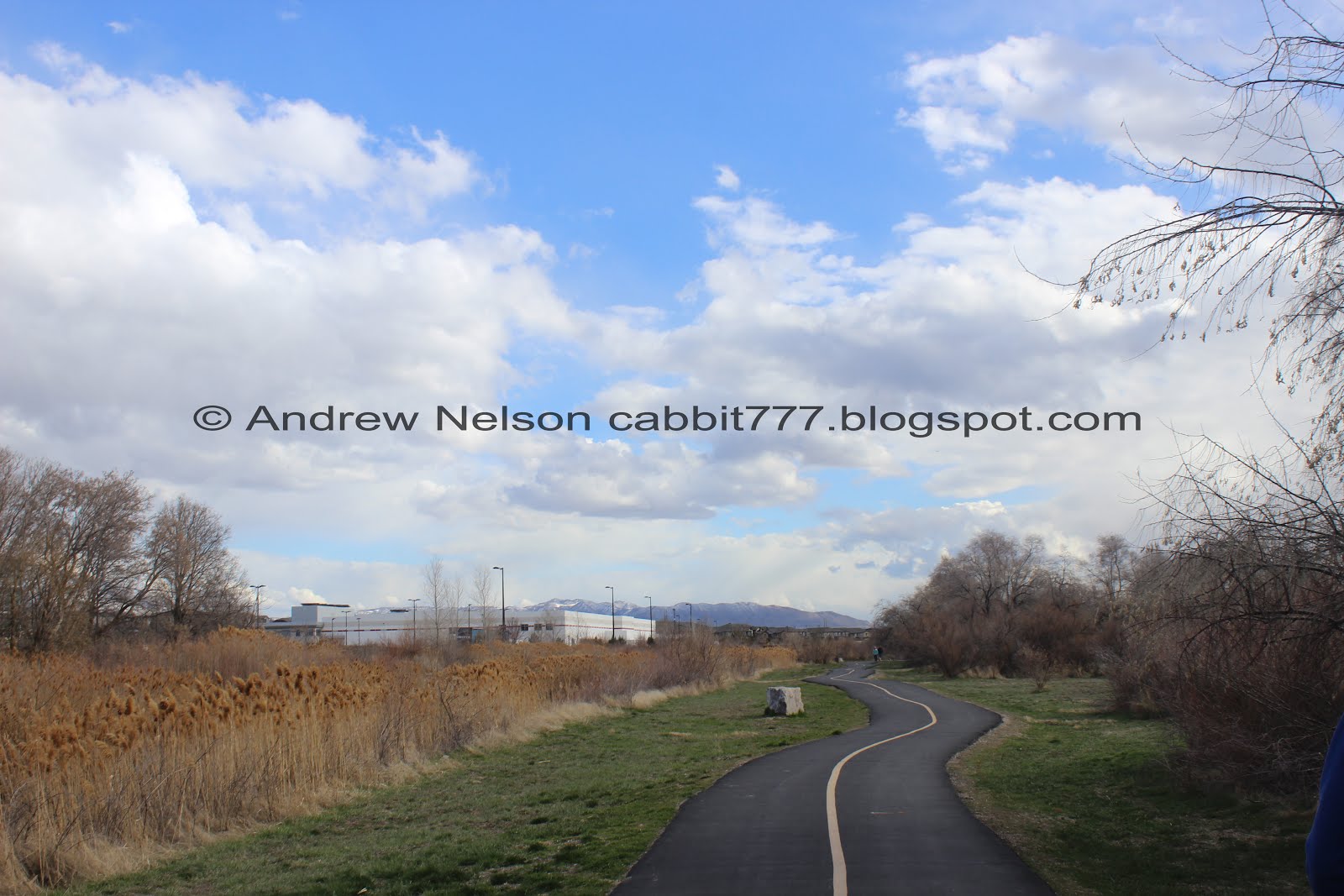
Wiggly path.

Good view of the river.

Duckies!

Awfully frothy through here.

Oh… uh.. yuck. I guess that explains the smell. Why are we dumping sewage into the Jordan River?

Mile 25 on the Jordan River Trail.

Bridge over the river.

Trax going by.

Under the rail bridge.

The next trail split. You can actually go either way, it's a quick little.. oval. Left will take you to the southern connector to the Perimeter Trail.

Nice little picnic area.

Where the two trails connect again.

Nice little bridge.

View of the mountains.

The underpass under 7800 S. Well, it is not flooded anymore.

The river under 7800 S. This underpass is really unnerving. The thin particle board planks shift quite a but. o.O

What in the world is going on here?
Well, we reached the part where we left off last time so we turned back.

The river with some reeds. I think these might be phragmites, which are invasive.

The river at one of the little picnic area view points.

The other direction.

Little bridge again.

Back to the little split. We went right and did the other side.

Trax.

Ducks under the Trax overpass.

Well, this is kind of unexpected. A bunch of deer. This deep in the city, at this time of day.


Like I said, odd, but still fun.

Mountains.

Geese.

A terrible shot of an American coot.

Back to the nice wooded section.

Last little wiggly section.
I like that this section is plenty far away from homes and, like the next south section, is pretty wild. And I like how close it stayed to the river, but sadly, you can’t see it through the reeds for much of it. It was a great way to get some exercise in with the dogs though. Going with 7 squirrels today.
As for difficulty, it is completely flat and paved. DR2.
Dogs are allowed, leashed. Please clean up after your furry friends.

No comments:
Post a Comment