.jpg)

Quick Details:
Length: 4 miles out and back or 2.2 miles out on pavement, 1.25 mile dirt path to loop around the reservoir, and 1.3 miles back on paved. This made it about a 4.8 mile balloon. You can shave off 1.4 miles (round trip) by using the Deere Valley TH.
Trail Type: Out and Back or Balloon
Difficulty: DR2 for the paved part, DR3 for the dirt path.
Elevation Gain: 544 ft.
Restroom: Not at either TH
Dogs? Yes, leashed.
To Get Here:
From HW89 in Layton, head west on Antelope Drive. Turn right on 1450 East Hidden Hollow Drive. Just a little bit after 2200 North look for the Trail Crossing sign and thus the trailhead on the right.

Farmington Canyon looking like it has some good color up there (PSP).
The Trail:

The trail head.

Cattails for days.

I can barely make out the mountains! It was still raining softly, but I was pretty sure it was clearing up.

See, clearing up.

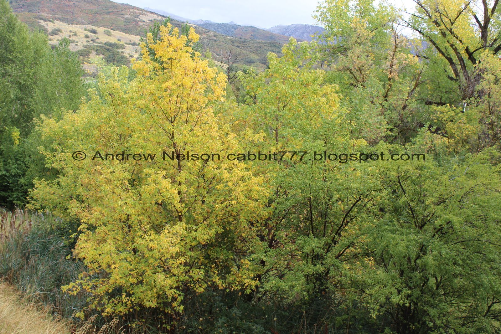
The trees are starting to change.

Even more color.

A little closer.

More color.

There are quite a few benches to stop and rest on.

There are mile markers every half mile, and it makes sense from this trailhead since that is where they start. They are not so helpful from the other trailhead.


More color.

With the mountains above.


Lots of color on this hill.

The Deere Valley Trailhead. As I mentioned earlier, this will shave 7/10’s of a mile off the walk each way. But the lower section was pretty nice so I am glad we did it as well.

The trail is pretty easy going up until you reach the dam.


More color.

Trail split. Both trails are quite the climb! However, I think the one to the right is slightly easier. So of course we went left. :-p

Steep, but pretty.

Pretty tree.

Colorful bushes.


Close up.

Now this is street art I can appreciate.

The dam.
Hobbes Reservoir.

Looking down the other side of the dam.

The reservoir again.

These sunflower type flowers are seriously everywhere in Utah right now.

With the reservoir.


Closer.

The mountains above. Definitely got a good dusting.

The reservoir again.

Panoramic.

More flowers.
We decided to go back and keep following the trail around the reservoir.

The reservoir from the north side.

1 and 1/4 mile. Our excursion out onto the dam un-synced the mileage from my pedometer, but not too much.

The forest is quite a bit more thick around the reservoir.

Some pretty reds.

For the most part the trees are too thick to really make out the reservoir below.

Some bigger mushrooms than I am used to seeing around here.

Most of the trees are still nice and green. Another couple weeks and these will probably be super colorful as well.

Lots of magpies around here.

1.5 miles. Almost to the end of the pavement.


It is super pretty through here.

A hawk souring above.

The mountains again.

There are constant ‘No Swimming’ signs along the way. The reservoir has a nasty undertow and a lot of people have drowned here so, be sure to heed the warnings.

Frosty canyon above.

Some trees that are just starting to turn.

More of the colorful shrubs.

Some more trees starting to turn.

Near the end of the paved trail there is a nice picnic table. So, bring a lunch with you.

Bridge over Kays Creek.

Said creek.

From the other direction.

The trail again.

The creek below.

Some colorful shrubs.

Then, the trail just ends. I knew it didn’t go all the way around but still. It is just kind of abrupt.
Take note of the pile of wood to the right, that will be relevant in a minute.

There does appear to be a thin trail continuing up though. Not sure where it leads.
Whelp, I guess we will turn around and head back.

Some of the oaks starting to change.

Just a little way down from the trail end, we noticed these stairs heading down. No ‘Private Property’ signs, so we decided to check it out.

This as a little more wild than we had planned on today, but it was lovely, so we kept going. Also, remember that pile of logs? it matches these. So I am guessing this is new.

I love how the rain brings out the moss on trees.


Giant freaking leaves. I saw some of these on the Quail Trail in Ogden. With a little help, I think I have identified these as burdock.

The forest is super thick though here, but it is lovely.

The trail is a smidge thin, but still very obvious.


The creek is in a somewhat deep gully.

And then, it’s not.

Not the best view of the reservoir from here.

Another staircase climbs the hill again.

Then flat well packed earth. Lucky for us the dirt is well packed in, so it wasn’t sticky mud at all. Only a little slick in 1 or 2 spots.

The reservoir below.

Like on the paved part, the really thick forest makes it hard to see the reservoir for most of the way, but there were a couple spots that opened up.

Looking up.

I suspect a desire path has always existed through here, but it looks like they have recently cut a wider path. I could be mistaken though.

The reservoir. Nice shade of green, but that algae is kind of gross.

More stairs. I was starting to worry about how high up this was going to take us!

Leaves that are starting to turn.

Not sure what this is. I was between a kids fort, or maybe a hunters blind, but who knows.

Now that we are away from the algae the lake is quite pretty.

With some nice color.

A great blue heron. You know, I think the is the furthest away from the Great Salt Lake I can recall seeing one.

Back to the trail.

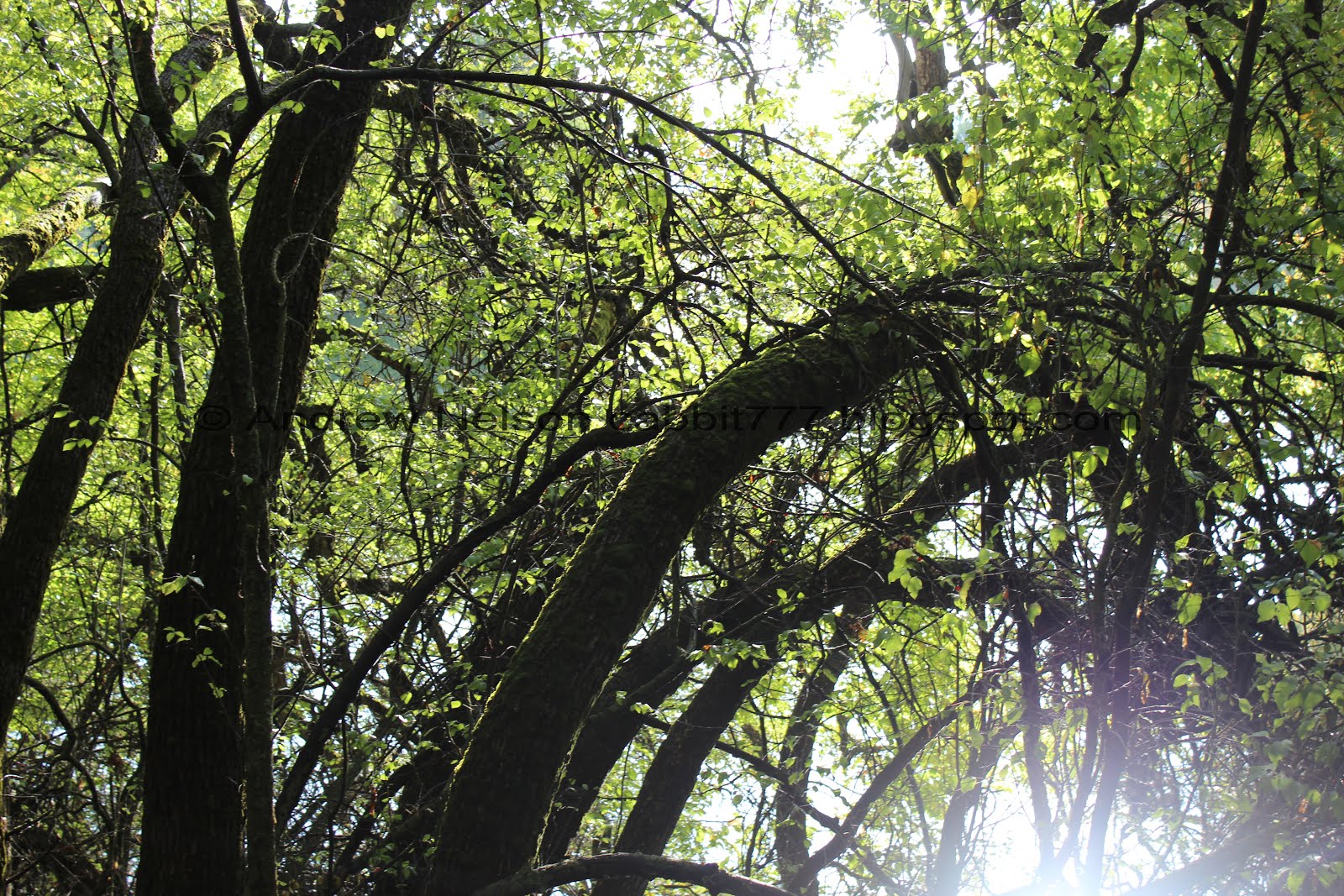
I wonder what caused these trees to bend the way they are.

Lovely forest.

Nice maple leaf.

The lake and what looks like a diving platform. o.O

This is different, a couple of the leaves on this tree have changed and the rest have not, and it's not in a patch.


Some more leaves. I truly love fall!

The trail works it’s way up the hill some more. I was getting a little nervous but ultimately just working myself up over nothing, it wasn’t bad.

Nice above view.

More of the stairs.
The further along we got, the more I started to worry that the trail just might abruptly end and we would have to turn back. It really is looking like newly cut trail.

The lake again.

It is kind of hard to see, but now that the sun came out there is some mist on the lake.

A view of the dam.

At the top of the hill we are offered a great view of the mountains to the east.

Mist on the water again. I know this is fairly common, but it's still neat.

Towards the front again.

We realized there was another arm to the reservoir we would have to go around, and again, not 100% sure the trail kept going. We ultimately decided we are going to have to go around this new arm, or back around the other arm, so we might as well carry on and just hope it gets us back to the dam.
Eventually we did spot a trail on the other side so that gave us further confidence that we will not have to turn around.

Heading down the other side.

Some of the oaks turning.

As well as other trees across the way.

The lake behind the mess of trees.

This part of the trail seems to go up and down a little more than the other side.

The trail skits next to the private property. Keep to the right here.

The southern arm of the reservoir has 2 smaller sub arms? Whatever it's called, here is the northern one.

The 3rd of 4 creeks that flow into the reservoir.

The bridge here is pretty sturdy though.

More bent trees.

The forest got pretty thick again.
I like the way the moss is lit on that tree.


Little ferns that have turned color.

More forest.

Woodpecker.


More forest.
I was starting to think to myself, had I known we were going to be doing this today, I probably would have used the Deere Valley Trailhead. But, it's an adventure!

Looking up.

Some more color.

More trees.

This squirrel startled the hell out of us haha.

Random chain.

Nice little staircase cut in here.

The smaller south arm of the main south arm.

More color.

The 4th and final creek entering the reservoir.

This crossing is just a couple of logs, but it was easy enough.

Looking back on the creek.

Looking up again.

The trail on this last segment is a little thinner, but still pretty wide.

Little island.

Then there are some spots that look like they have been widened as well.

Little tree tunnel.

These are closer to the mushrooms I am used to seeing around here.

Weird bulges on this tree. We saw similar growths on trees on the Church Fork trail in Millcreek Canyon, still have no idea what the cause is.

Through the trees.

More fresh cut trail.

More turning leaves.

The lake through the trees.

More forest.

The lake again.

More pretty leaves.

With some water drops.

Gnarly tree.

Looking across into the north arm.

Mist on the water again.
I took a little video.

Lake reflections.

Fishies!

We really struggled getting up this small hill with it being a little wet. I grumbled and grumbled that of all the places on this trail, this could use a staircase!

Oh. haha. Looks like they plan to do just that!
I am glad the trail was pretty much done and we successfully made it around, and only struggled at this spot, but were able to get up over it.
I looked into the Layton City Trails page, and currently this section around the reservoir is labeled as ‘desired’ so it seems they are still working on it. I am really excited to see that it is being worked on. I've been wanting to go around it for a while.

More mist.


Some nice reflection.

Another panoramic.

The dam.

Forest.

The mist again.

Looking across and into the north arm again.

Another panoramic.


Pretty flowers.

About 1.25 miles after leaving paved trail we are back to the dam. Really that was all? It seemed longer.

More flowers.


Some deer.

Heading down the south side of the reservoir I think it just a smidge less steep and there is at least one bench to rest on.

The dam from the bottom.

Some more color.

The paved trail has these plaques every so often talking about different animals you might see here.

Bat house.

Pretty yellow tree.


Oh, we ran into some more deer.

I didn’t want to disturb them too much so we kept going. But we turned around an realized there are actually 3 of them. My guess is it’s a doe with 2 fawns getting to be just about old enough to go out on their on own.


Some more color.

Looking back towards the mountains.


More color.

There is a little mini loop near the beginning. On the way in we took the lower, southern loop, so we went down the upper, northern loop.

Lit up tunnel.

Above the sea of cattails.

End of the trail.
It is about 1.2 miles from the front of the reservoir.


The mountains above on the drive home (PSP).
That was, uhm, more than we had planned on doing today, but it was perfect for today. The parkway has some great color happening right now. The reservoir is pretty. And the new trail around it is pretty great! Not to mention it not being sticky, or terribly slick mud. It was super quiet, due to the rain, until we returned to the parkway. After the sun came out so did all the people haha. I’m going to keep the 7 squirrel rating for the parkway. The new trail, even under construction, I am going to put at a 8 squirrels. Just cause it seemed to go up and down needlessly, and because the view of the reservoir is mostly obscured.
As for difficulty, The parkway retains the easy DR2 rating. The new trail would bump up to a DR3.
Dogs are allowed, leashed. Please be sure to clean up after your furry friends.
