Sunday, August 27, 2023

Lisa Falls

 Lisa Falls is a neat Waterfall located in Little Cottonwood Canyon. The trail features some nice views, a creek, and of course the neat waterfall flowing down a granite cliff. It is a very short trail, and I generally treat it as an add on trail. Today, however I am recovering from some kind of flu like thing so I didn’t want to push it. However between the Oktoberfest Traffic and a car fire in the canyon this ended up being more of a pain in the butt than it was worth today. 

Quick Details:

Length: it is only about .11 miles one way. With a little bit of exploring we topped out at .27 out and back. Super short.
Trail Type: Out and back.
Difficulty: DR3. Its a bit of a climb, but it is super short.
Elevation Gain: About 80 feet.
Restroom: No. Closest one I can think of is at the Red Pine Lake Trailhead, or down canyon at the Grit Mill Trail, or mouth of the canyon parking.
Dogs? No. Little Cottonwood Canyon is watershed.
Other Info:

To Get Here:

From the mouth of the canyon (where the 2 roads combine) head about 2.8 miles up the canyon. The trailhead is on the left. You can park on the right, but that will require a scramble across the busy canyon road.


Entering the canyon (Passenger Seat Photography (PSP)).


They have decided to suspend the construction projects during holidays and weekends (PSP). Now we’ll just see if they start it up again before we are done for the day like Big Cottonwood did last week.


This little waterfall is starting to dry up (PSP).


We got stuck in a stoppage (PSP). I thought it might be another construction project but it ended up being a car fire.


The roadside sunflowers are starting to go nuts (PSP)!


I still haven’t figured out what waterfall this is (PSP).


Avalanche damage (PSP).

My original plan was to drive around Tanners Flat Campground and see the avalanche damage, but apparently you have to pay a day use fee, even if you don’t plan on stopping. There was even a big sign say ANY use is day use. I still think we should have been able to just drive around, but Landis was not convinced. I am guessing there were some incidents that created this rule, cause too many humans have main character syndrome. So we turned back towards our main destination.


It appears they got the burned car off the road (PSP). Traffic was slow going, but at least it was moving.


It did allow me to enjoy one of my favorite views more (PSP).


Loads of roadside sunflowers (PSP).

The Trail:


View across the canyon from the parking lot.


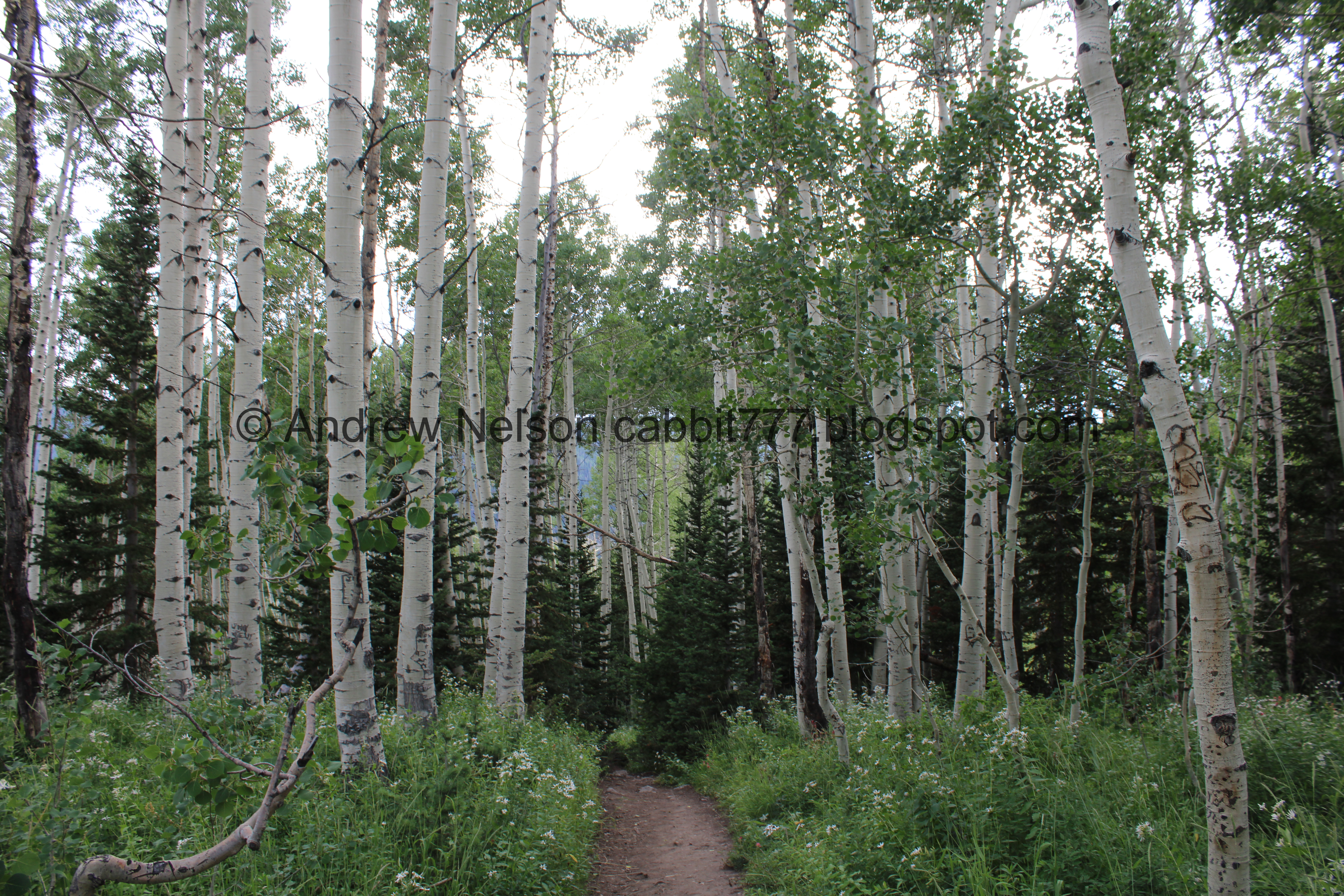
The trailhead. This is one of those trails that doesn’t have any signs or kiosks, but it is pretty easy to find.


It is a little steeper in the beginning than I remembered.
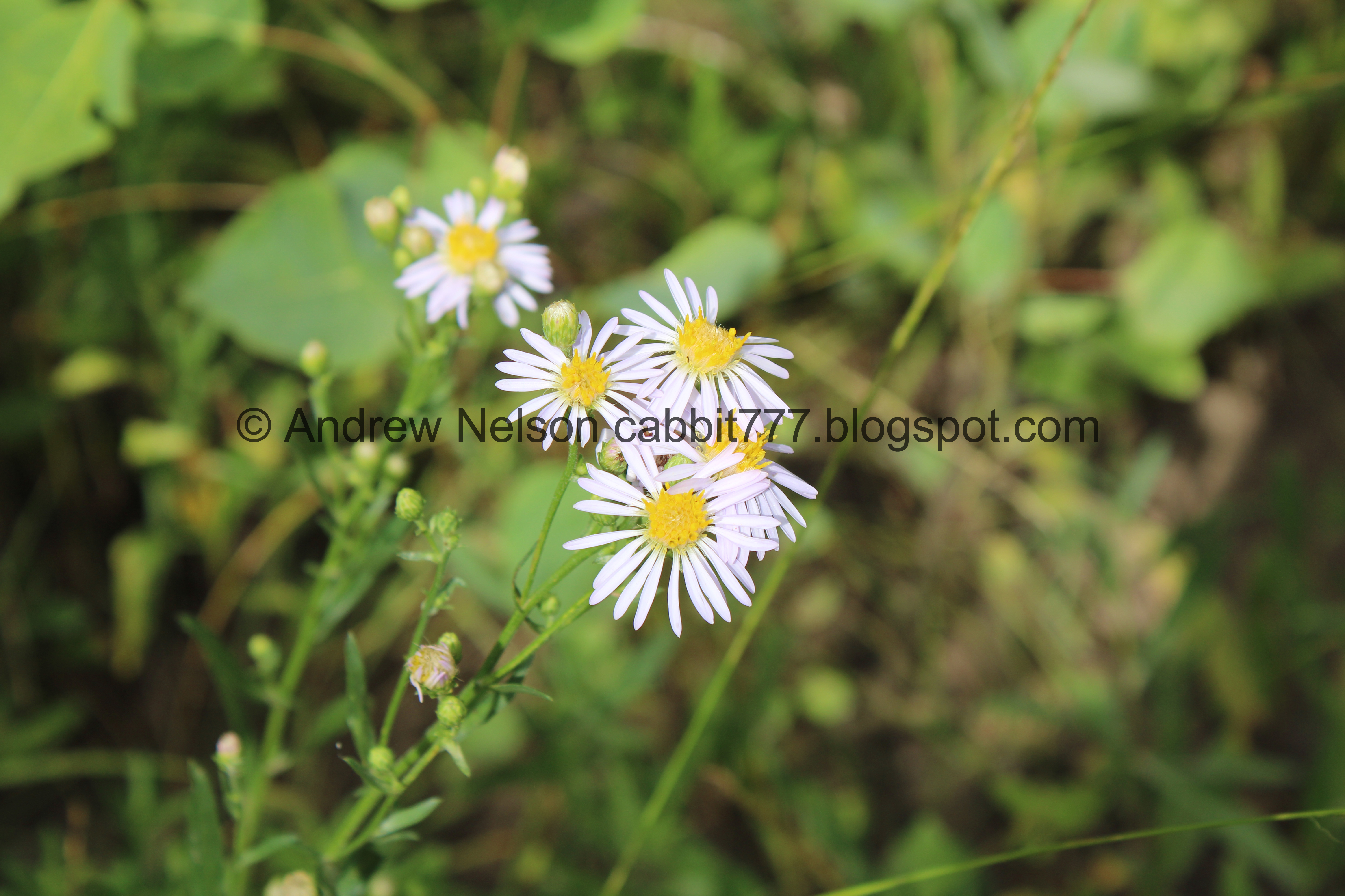

Daisy-like flowers.


This creek bed is dry. Don’t let that deter you, avalanches have redirected the outflow. Although we have seen it flowing once.


This looks like fresh avalanche damage, as in from last winter.


More debris.


More debris. The trail is popular enough that, even though it is faint in some spots, you can still make it out.
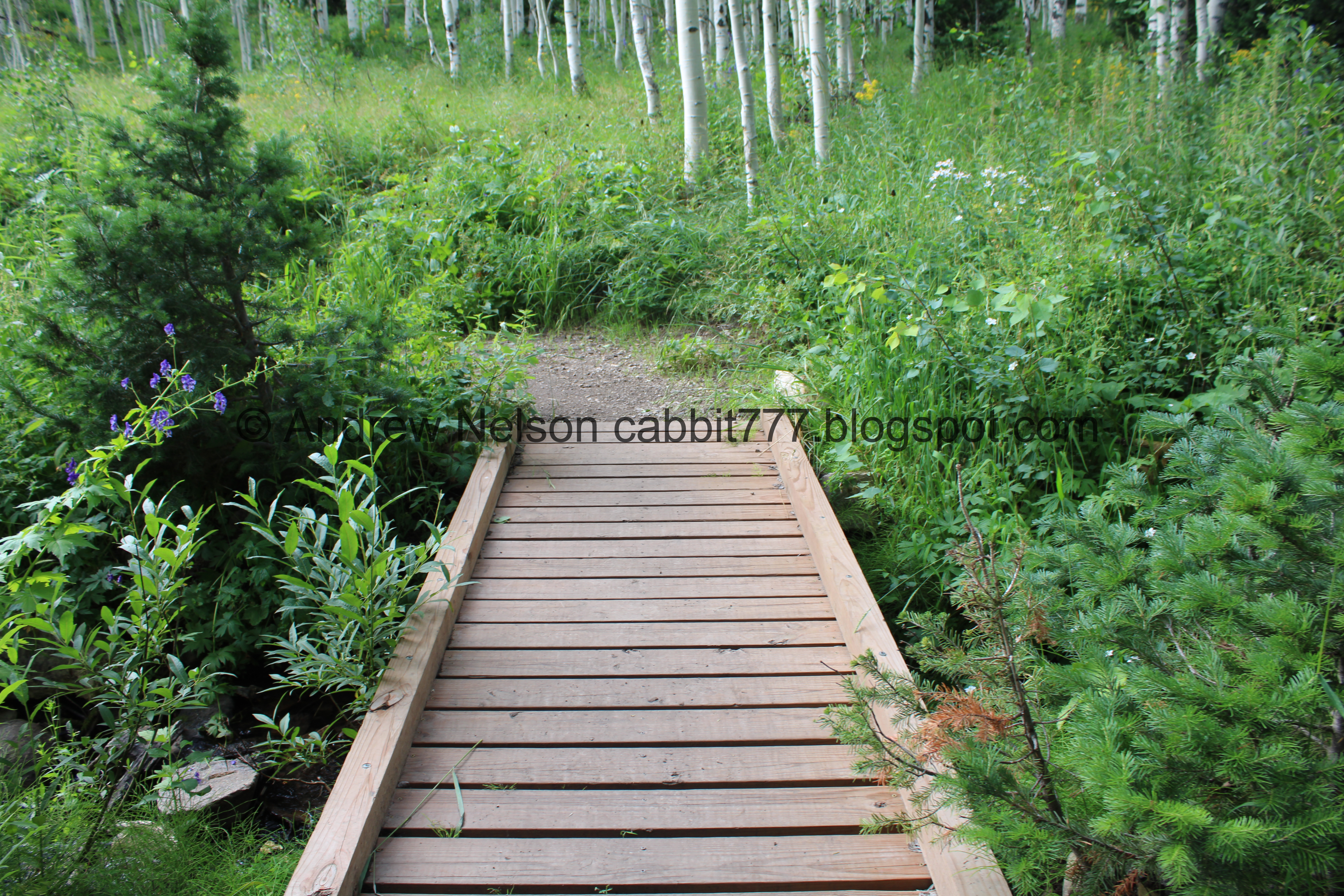

Final push.


First view of the falls.


It’s a cool waterfall seeing as its just flowing down a steep granite cliff.


Coming out of a narrow canyon.


View down.


View across the canyon.


The falls again.


With the canyon again.


Longer exposure.


View across the canyon again.


Crazy rock climbers near the top. That’s a big nope from me.

General courtesy tip; Don't set up camp in front of the pretty natural feature. It's totally awesome to get in next to it to get a picture, but try not to dawdle there either (looking at you Instagrammers). Other people want to see it, get a picture with it. Of course if you find yourself alone with it, do whatever you want, but just pay attention to see if other people arrive.

As you can see I managed to get a few shots creatively working around this family but they spent the entire 20 minutes we were up there (and who knows how much longer) RIGHT HERE. I think that is rude. 

I also want to mention this particular family several times gave me dirty looks like "what are you looking at" and I am just like, The pretty waterfall you jerks are blocking! Grumble grumble grumble.

Anyway, time to head on back.


Heading back down.


Avalanche damage.


View across the canyon again.


The narrow gully.


Dry creek bed.


Lizard! Man they move fast.


The view across the canyon again.


The dry creek bed again.


View up canyon from the trailhead.


Sunflower.


A bunch of them as we head back down (PSP).


Hooray they did not turn the traffic signal on yet (PSP).


Nearing the mouth of the canyon (PSP).

Well, that was an alright adventure. Like I said, I normally do this as an add on. However, I am glad I didn't do much more as this short little adventure took it out of me today. This is a great short and easy trail to see a neat waterfall, but I have learned that the short easy trails to waterfalls you experience a lot of people with main character syndrome or who have no concern other people might want to view the falls without them being in the shot. Sigh. 8 out of 10 squirrels.

As for difficulty, it is a bit of a climb, but it is short. DR3.

Dogs are not allowed in Little Cottonwood Canyon, so be sure to leave Fido at home.

Sunday, August 20, 2023

Willow Heights: West Fork

 Willow Heights is a beautiful trail located in Big Cottonwood Canyon. The trail features some lovely mixed (but mostly aspen) forests, a creek, a small lake, and lots of wildflowers. You also have a pretty good chance of seeing wildlife up there. This is one of our favorite trails and we do it often. In fact we just did it a few months ago.

Quick Details:

Length: The east fork is about a mile, and the west fork is about 9/10 of a mile, then 3/4 mile around the lake. We did a 2.5 mile balloon up and down the west fork.
Trail Type: Out and back, balloon, loop, figure 8 options.
Difficulty: DR4. There is definitely a climb!
Elevation Gain: About 650 feet.
Restroom: No. The closest ones I can think of are up canyon at the Solitude Nordic Center, or down canyon at Mill D North.
Dogs? No. Big Cottonwood Canyon is watershed.
Other Info:

To Get Here:

Head up Big Cottonwood Canyon about 11.6 miles up from Wasatch. It is just past the Silver Fork Lodge. About halfway between mile marker 13 and 14 there will be a boulder on the left (north) side of the road. If you reach Solitude you went too far, but don’t worry. the canyon ends at a loop that will easily turn you around.


Heading up the canyon (Passenger Seat Photography (PSP)).


Thick forest (PSP).


More canyon (PSP). We read somewhere that the construction project they are doing they decided to suspend it on not only holidays, but weekends too. We did not encounter it on the way up so yay! Unfortunately, down was another story.

The Trail:


Daisy-like flowers and a thistle.


The dedication marker.


Elkweed that the flowers have died.


Trailhead kiosk. I’m not sure why it is set so far back. Anyway, It needs to be updated since the trail has been re-routed.


Pretty aspens.


More daisy-like flowers.


A geranium getting an early jump on fall. Actually Landis decided to look it up, geranium leaves turn red when they are not happy due to poor soil, a cold snap, etc.


More aspens.


Not sure what this is, but it also appears to be getting an early jump on fall.


The old route on the right, and the re-route on the left.


I swear half of all geraniums have some sort of beetle on them. Maybe more.


The bumble bees are super active up here right now.


More daisy-like flowers.


Some kind of mint.


Trail split. Right is the east fork which is slightly longer at about a mile, but I think it is a bit easier, mostly because you get most of the climb out of the way in the beginning. Left is shorter at about 9/10ths of a mile, but it is more of a climb.

I normally prefer to go up the east fork, and down the west. However there is a spot on the east fork that I don’t like and well, I just didn’t want to today so we did the west fork.


Crossing the creek. There is a sturdy bridge to do so.


I think this is arnica.


Big patch of them.


Another unhappy geranium.


Looking across the canyon towards Silver Fork.


Some pretty orange paintbrush.


Eventually the trail connects to the old dirt road. They were going to develop the area and put in more cabins, but luckily it was saved by Salt Lake City. This would be the first main switchback.


More paintbrush.


Sulphur flowers, aka sulphur buckwheat.


Skyrocket.


Closer.


More forest.


The 2nd switchback. It's a subtle curve.


More arnica.


This switch back is steep and rocky.


Another plant getting a jump on fall.


Aspens.


Eep, I hope we don’t get rained on! Luckily we did not.


Pretty butterfly.


The third switchback is also a gentle curve.


More early changers.


This switchback gives you a nice break from the climb as it is pretty flat.


Silver Fork again.


Another re-route.


Bumblebee on mint.


Don’t know what this is, but there’s lots of it!


Larkspur.


Closer.


Fourth switchback. This will resume the climb.


This one offers a view of the creek.


More larkspur.


Fireweed.


The fifth switchback. Also the top of the rerouted section. This one is a bit of a doozy.


More daisy-like flowers.


Up and rocky.


Paintbrush.


Western coneflower.


Paintbrush.


Lupine.


Flower lined trail.


Another daisy-like flower. I am actually pretty sure this is fleabane, but not 100% confidant.


Paintbrush.


The small meadow. This is a sign that you are getting close, and also another small break from the climb.


More geraniums with beetles.


Monkshood.


The upper bridge.


More monkshood.


The creek.


Another early changer.


Forest.


The big clearing. This means you are almost there!


I love the cone shaped peaks.


More daisy-like flowers, with a bumblebee.


Sulphur flowers.


Lots of Sulphur flowers.


In early summer there is a little pond here. In late summer there is just a ring of flowers.


Looking across the canyon towards Silver Fork.


Panoramic.


We made it to the crossroads, where the east and west trails meet and split off again to loop around the lake. I generally like to go to the left, because it offers the best views of the lake.


Back in the forest.


Fireweed.


The first place you can view the lake is a bit overgrown today.


Overgrown trail. I guess a record breaking snowpack winter means super happy plants in the summer.


Bumblebees on a coneflower.


Geraniums.


Fireweeds.


We made it to the lake!


Daisy-like flowers.


Duckies!


The lake again.


Panoramic.


Potgut!


The lake again.


Potgut prairie dogging.


I decided to sit down for a spell and enjoy the view. Incoming ducks.


The lake.


Eventually this duck came up from the water to come say hi. Sorry buddy, I don’t have anything appropriate to feed you.


Handsome fella.


The potgut again.


Another panoramic of the lake.


Another ducky friend came to say hi.


Another handsome fella.

Actually I’m pretty both of them were girls.


She picked up something pink that got stuck to her bill.

Alright, we decided to continue around the lake.


The lake again.


Another panoramic.


Nearing the back end of the lake.


Panoramic.


I think that might be a beaver lodge.


The lake with the peaks on the other side of the canyon.


The loop doesn’t go directly around the lake, instead back into the woods. That’s because earlier in the season the area to the right is covered in water.


The swampy area.


Corn lilies.


Into the woods!


Larkspur.


Geraniums.


Larkspur and bumblebee.


The bees and bumblebees are very active back here!


Earlier in the year this will be completely flooded, but I guess the spring has dried up.


Aspens.


Bumblebee on a cone flower.


More aspens.


Paintbrush.


Larkspur.


Very overgrown trail.


Lots of fallen trees you have to step over.


Super overgrown! I am glad I wore pants today cause we were brushing up against a lot of plants, with lots of bees.


Lots of western coneflowers.


Pretty red berries. I bet they taste like burning.


Larkspur. Man they can get super tall.


Overgrown trail.


Lots of tall flowers.


More fallen tree’s.


Larkspur.


Fireweed.


Another dry creek bed.


More daisy-like flowers.


Lots of paintbrush.


Closer.


Nice lush forest.


Larkspur.


Forest.


More berries that I am sure taste like burning. If my Simpsons reference is not clear, when I say taste like burning, I am saying I am pretty sure they are poisonous and would not eat.


More forest.


More cone shaped peaks.


Paintbrush.


Cluster of mushrooms.


Weird shaped mushroom.


Lupine.


Paintbrush.


The lake again.

I’m sad we did not have a moose sighting today.


Another sad geranium.


Silver Fork across the canyon.


Panoramic.


Back to the crossroads. As I mentioned you can make this a full loop, or figure 8 by going down the east route, but we decided to just go down the way we came up.


Sulphur flowers.


Someone mentioned that these tend to start out the lighter yellow color, and mature into the darker orange/red color. I haven’t verified this myself but it does seem to make sense.


Looking across the big clearing.


Geraniums.


Into the woods again.


Paintbrush.


Back to the upper bridge.


Lots of monkshood.


The creek.


More daisy-like flowers.


Back to the little clearing.


Hello friend!


She see’s us.


Into the woods.


Overgrown trail.


More daisy-like flowers.


More arnica.


Somewhat steep part down.


Trail reroute. Which created a new 1st switchback for the way down.


Fireweed.


2nd switchback (1st next to the creek).


Lots of flowers.


More larkspur.


Nice mix.


View down canyon.


More early changers.


Sad geranium.


More early changers.


The 3rd switchback is a little subtle curve.


Silver Fork again.


Aspens.


Pretty orange paintbrush.


More aspens.


More early changers.


More orange paintbrush.


This switchback is a little rocky and steep.


The 4th switchback (2nd next to the creek) is the one you want to pay attention to, and thus pay attention to the trail as the turn of to the trailhead is now coming up. It has a sign, but it is little. It is about 1/10th of a mile from here.


Geranium.


Arnica.


Orange paintbrush.


Skyrocket.


The turn off to the trailhead, which I guess would be the 5th switchback. If you miss it, it is not the end of the world, you will just have to wander some neighborhood, and then back a ways up Big Cottonwood Rd.


More paintbrush.


Aspens.


The lower bridge.


Upstream.


Trail split. Left will head back up via the East Route. Right will take you back down to the trailhead.


Geraniums.


Aspens.


Trail use counter.


Aspens.


More early changers.


Spent elkweed.


No idea what this is.


Geranium


With a beetle.


View up canyon from the trailhead.


Heading down canyon (PSP).


Oh no, what is this (PSP)?


Oh. Apparently they resume the construction project sometime Sunday Afternoon (PSP). What the heck is the point of suspending it, if you are just going to trap all the people enjoying their Sunday? Seriously they can’t wait for sundown? Grumble grumble grumble.


Terrible shot, but it looks like the new boardwalk at Mill D is finally open (PSP) We will have to come check that out soon.


The roadside sunflowers that line our canyons and roads towards the end of summer (PSP). It seems like they were early this year though.


Mouth of the canyon (PSP).


Incoming storm over the canyon.

I still love this trail! We do it fairly often. I think this might have been the first time we have hit it during that peak of wildflower bloom, so that was a fun bonus. No moose today, but we saw a deer, some potguts, and some hungry ducks. It also was not terribly busy today. We had the lake to ourselves for a bit. 10 out of 10 squirrels today.

As for difficulty, both routes have a bit of a climb, and the west route can be rocky. DR4.

Dogs are not allowed in Big Cottonwood Canyon, so be sure to leave Fido at home for this.