.jpg)
The Devils Castle Loop is an absolutely spectacular trail located in the Albion Basin at the top of Little Cottonwood Canyon. It features amazing views of the Albion Basin, stunning peaks above, beautiful forests and fantastic wildflowers. Plus you have a pretty good chance of see wildlife, even if it is just a little pica (I happen to adore pica’s though so that’s a win for me). This trail always tricks me though, I always remember it being an easy trail, and it is, but the first half mile, not so much. But it is nice to get that out of the way in the beginning. I think this is becoming one of my absolute favorite trails and so we do it fairly often.

Quick Details:
Length: Alta says it is a 1.8 mile loop, we did about 1.94, but may have veered off the main trail.
Trail Type: Loop
Difficulty: DR4. There is a long climb at the beginning.
Elevation Gain: About 460 feet.
Restroom: There are pit toilets at the trailhead and in the campground you will hike through.
Dogs? No. Little Cottonwood Canyon is watershed.
Other Info: Fee area. There is a $10.00 fee to use the Summer Road. You can avoid that by hiking about 1.5 miles up the Albion Meadows. As far as I can tell they still have not restored the shuttle service that was canceled during the pandemic.
To Get Here:
Drive to the top of Little Cottonwood Canyon above the Albion Base. Pay your fee, and drive to the end of the Summer Road at the Cecret Lake Trailhead/Albion Campground.
It seems easiest to hike up through the campground as I have never noticed the turn off on the other end.

Little Cottonwood Canyon (Passenger Seat Photography (PSP)).

Little waterfall (PSP).

Avalanche damage (PSP).

The line to go up the Summer Road (PSP). When the lots fill up, which they do quickly, they only allow as many cars up as come down. We ended up waiting about a half hour, which is about my patience threshold.

The Albion Basin.

View down canyon.


Summer Road (PSP).

The Catherine Pass Trailhead (PSP).

As far as high altitude dirt mountain roads go, this one isn’t too bad (PSP). I only get a little nervous at the switchbacks.

Lots of elkweed (PSP).
We lucked out and found a parking spot on our first attempt. Phew!
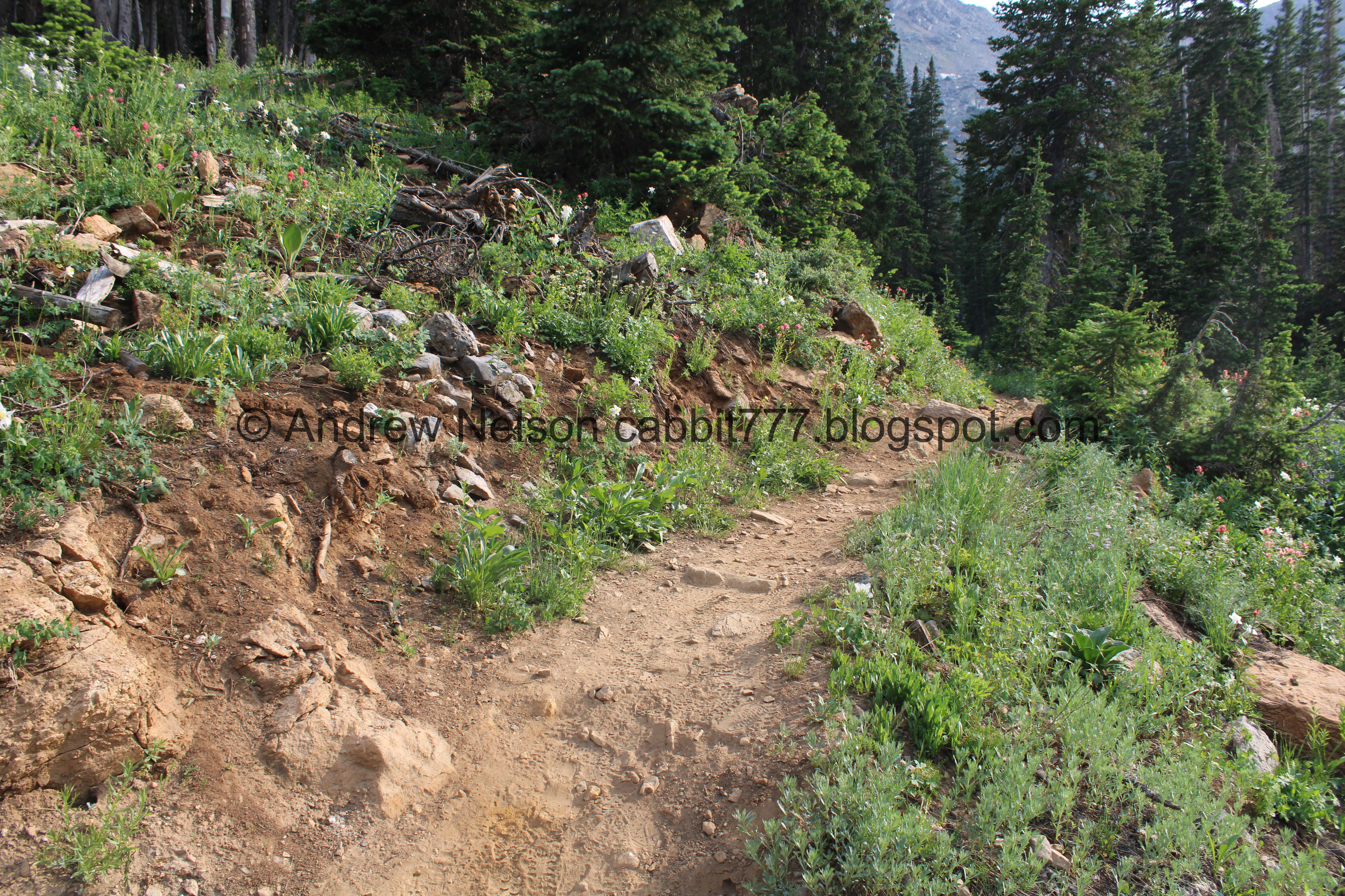
The Trail:

Like I said the easiest route is to hike up into the Albion Campground.


Loads of columbines here at the trailhead.

Little Cottonwood Creek. It seems so small up here versus lower in the canyon.

Well holy crap This seems to be the year of the blue columbines. I normally see one maybe two a year, and well, here is the 3rd (4th and 5th) one this year. I love it, yay!

More columbines, fully white like I normally see.

Heading up the Albion Campground.

Chairlift. Looks like it might be the Supreme Lift.

Paintbrush.

Continuing up the campground road.

More paintbrush.

Just as the road swings to the left there is an offshoot which is what you want to take.

It really is the year of blue columbines! Sightings 7, 8 and 9! Wow! Or maybe I just made it before the asshole flower pickers did.

10 and 11. Wow!!!!

A bunch of white columbine. I still love the white ones, but the blue ones are a special treat.

This split to the left is new. It seems like both routes will get you to the trail, but I am used to the right route so that is what we did.

It’s a bit of a climb!

Jacobs ladder.

Sugarloaf Peak.

River of bluebells.

Fed by a little side stream.

Heading down.

Devils Castle.

Corn lilies starting to bloom.

Western coneflowers.

Penstemon.

The little side stream again.

Short section of cabins.


Another big patch of columbines.

Elkweed.

More up!

That new road connects up here.

Then you will see the turn off from the road at just short of a half mile. Normally it has a sign, but I guess the rough winter and the Summer Road just opening they haven’t put it up yet.

Overshot it a little to see the snow in this gully.
Alright back to the trail.

Buttercup.

A bunch of columbines.

A bunch of paintbrush.


More paintbrush.

Into the woods!

Another type of buttercup. I think this is alpine buttercup.

More forest.

Big patch of snow.

Sugarloaf peak.

Getting closer to Devils Castle.

Some pink paintbrush.

More red ones.

Devils Castle again.

Another patch of columbines.

Nice mix of color.

WHOA!!!! So blue it’s purple! I wish I could have gotten closer, but it was off trail.

More paintbrush.

Lupine.

Penstemon.

The big boulders that fell off of Devils Castle forever ago.

Getting closer to Devils Castle.

The trial mellows out near the top.

More elkweed.

Almost directly under Devils Castle.

Again.

Another patch of columbines.

Mine tailings.

Elkweed.


The flowers on it are absolutely stunning.

Lupine.

Patch of snow at the top. I was a little worried there was going to be more and possibly across the trail but thankfully that was not the case today.

Mine tailings. At about .85 miles this is the top of the trail, and the rest will be level and downhill.

View down. You can see the boulders that have been falling off of Devils Castle for thousands of years.
.jpg)
Panoramic.

The debris falling off of Devils Castle.

Continuing down.

Looking up towards Devils Castle.

The trail going through the debris.

Looking up.

Scree fields like this are great places to look for picas. I love them!

Devils Castle again.

Looking down again.

Elkweed.


I just love the unique flowers.

Penstemon.

I just refer to all flowers that look like this as daisies. I know there are fleabane and other things, but I can’t tell them apart.

Another elkweed.

I wonder what these are going to be. It’s kind of pretty.


Phlox.

Looking back at Devils Tower.

A rather healthy columbine.


Parry’s primrose.

Another mine tailings pile.

Scree fields are also a good place to find marmots.

Having a little scratch.

Chillin.

Back to scratching haha.

He’s apparently quite itchy.

Finally sitting still.


On the move again.

Heading through the tailings.

Parry’s primrose. I seem to only see these on this trail.

Catherine Pass. That leads to Big Cottonwood Canyon, by foot of course.

More Parry’s primrose.

I I love this flat crag.

Both tailing piles. It’s kind of neat that even though they are so close to each other, they are completely different colors.

Wallflower.

Devils Castle again.

More columbines.


Another elkweed.

Back into the woods.

Devils Castle again.

I’ve seen trees that look like this on a different part of this trail. My leading theory is an avalanche pushed it into the mud? But I don’t really have any idea.

Penstemon.

Devils Castle again.

Pretty forest.


Another elkweed.

More forest.

View of the cirque.

Forest.

Couple of patches of snow up here. Honestly I half expected to see more near the top.

Forest.

You will definitely know when you near the nearby and much more popular Cecret Lake Trail. It is definitely a lot less quiet than this trail. On a weekend anyway.

On to the steep descent.

A lot of fallen trees from the record breaking winter we had this year.

Continuing down.

More tree damage.

A pretty impressive spring.

I mean, it’s no Cascade Springs but that is a pretty good output.

Downstream.

There are quite a few trail splits down here. I THINK the main, mapped trail is to the left. However I like the route to the right, I have been meaning to try the left trail, but just haven’t done it yet. Anyway, just make sure each split you take is heading downhill and you should make it back.

Forest.

More buttercups.

Squirrel!

Big patch of bluebells.

Another impressive spring.

Nice riparian area.

Forest.

More Parry’s primrose.

I think I can picture in my head what this will look like when it has bloomed, but I have yet to identify it. That is kind of a weird feeling.

Forest.

We had to tromp across this snow pile. Luckily it was not huge, or in a precarious spot.


Giant boulders that have come down from Devils Castle and pushed around as the glaciers retreated thousands of years ago.

Paintbrush.

A columbine growing out of a boulder. Plants never cease to amaze me.


More paintbrush.

More old boulders.

More columbines.

Devils Castle again.

Another little side stream, likely coming out of a spring as well.

I like this little family tree.

Random round patch of white flowers.

More boulders.

The stream again.

More paintbrush.

Bluebells.

Plant covered boulders.

Jacobs Ladder.

Devils Castle again.


More columbine.

Interesting beetle on some Jacobs ladder.
Devils Castle with the stream.

Now we are on the Cecret Lake trail until we get back down to the trailhead. There is a, no longer mapped alternate scenic route that I really like, but we decided to skip it today.

Stream crossing the road.

Bluebell lined stream. I am pretty sure this is the same stream as the first side stream we saw.

View down.

Downstream.

More forest.


Paintbrush.

Almost down to the trailhead.

Nice mix with some prominent elkweed.


Lots of columbine.

Little Cottonwood Creek, upstream.

Downstream.


Heading down the Summer Road (PSP).

View down canyon (PSP).

More Summer Road (PSP).


Back down to the fee station. (PSP) Holy crap look how long the line is now!
We stopped at the bottom of the summer road for a bit.

Western cone flowers.


Yay! I found a patch of fireweed. First ones of the year, and another of my favorites. So this completes my top 7 favorites for the year and brings me to 4 out of 7 of my favorites today. Columbine, paintbrush, elkweed, and fireweed. I probably would have seen the other 3 (white bog orchid, elephant head, and shooting star) if I had taken the scenic route down, but that’s okay, I saw them last week.

Looking up at the Albion Basin.

Thick clouds.
Time to head on down.

Avalanche damage (PSP).

That amazing view down the perfect U shaped canyon (PSP).

Road side sunflowers (PSP). I generally associate these as end of wildflower season flowers. I am not sure if I am crazy, or if maybe the super wet winter pushed an early bloom. Or maybe I just don’t really care about them until the wildflower season is done?

Mouth of the canyon (PSP).

Not sure if that is dust, or sun rays (PSP).
I absolutely LOVE this trail! It is super pretty, with amazing views of the basin, and the stunning peaks above. It has amazing wildflowers, and is oddly so, so much less visited than the nearby and much more popular Cecret Lake (which I love as well, but prefer quieter days). Plus I love the wildlife we generally see as well. Even with the tough climb in the beginning, I am going to go with 10 out of 10 squirrels.
As for difficulty, I am bumping this up to a DR4 do to the long rough climb at the beginning.
Dogs are not allowed in Little Cottonwood Canyon, so be sure to leave Fido home.

No comments:
Post a Comment