.jpg)
Limekiln Gulch is a small gulch located in The Avenues, SLC. It features of course an old historic lime kiln that has been restored. There are also some wildflowers and some pretty green hills. We've been here a couple of times, but I really like the old building.
We’re still recovering from the plague and wanted something a little easier so this was a good option.

Quick Details:
Length: It is about a half mile out and back to go the easy way.
Trail Type: Out and back.
Difficulty: DR3, super easy peasy.
Elevation Gain: about 170 feet.
Restroom: No.
Dogs? Yes, Leashed.
Other Info:
To Get Here:
From downtown, take South Temple east to Virginia St. Turn Left. This road will start winding up the mountain. Turn right onto Chandler Dr. and then another right onto Tomahawk Dr. Drive about 400 feet and look for the trailhead to the left. It is between houses.

We passed by a small fire on the way (Passenger Seat Photography (PSP)).

Downtown (PSP).
The Trail:

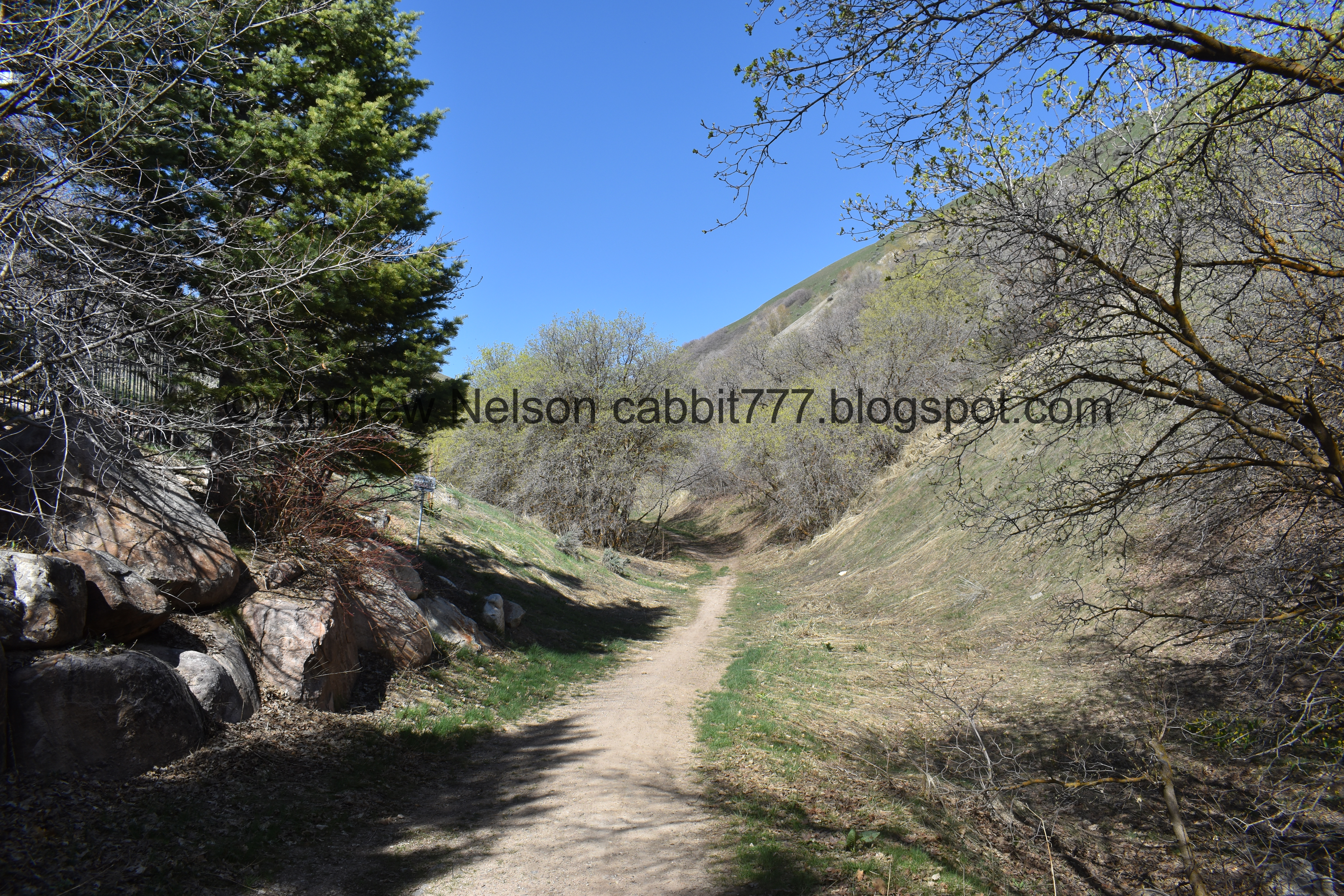
There is a thin gravel path between properties to access the gulch.

Trail signs.

Then there is a nice little forested section.


Glacier lilies! When I start seeing these guys it means spring is here for me.

Not to mention they are super pretty.

The trail shares this driveway for a second.
Then the regular trail resumes.

Things are starting to green up.

First view of it.

Jet flying above.

Trail split. The most direct route is the right, lime covered trail. But is is a little steep so we prefer to take the scenic route to the left, which is a smidge longer, but is just easier.

From below.

I believe this is one of the lime deposits they quarried.

Once you hit the crossroads you will go right to head back towards the limekiln. You can also go forward to get to the top of it.

Then there is a much more gentle climb through the forest.

So many glacier lilies.

The limekiln! It really is a neat old structure.

Huh. They added little doors to the grates.

Inside. Even with the grates there is a lot of garbage left behind.

Historical Information.
“The University of Utah received a generous gift of land from Bernard P. and Frances M. Brockbank in 1975, which included this area known (since pioneer times) as Limekiln Gulch. There were originally three limekilns in the area, all constructed in the 1850’s.
Limestone, quarried form nearby deposits, was broken into grapefruit-sized chunks. and alternating layers of wood and limestone were loaded into the vertical shafts until they were full. The heat from the burning wood transformed the lime into a white powder by removing the water and carbon dioxide. Quicklime, masonry mortar, or slaked lime, a remix of powdery lime, was widely used in the state’s early construction work.
In addition to being used for making cements, mortar, plaster, and whitewash, lime was also used for softening water and reducing the acidity of butter, cream, and milk, as a whitening agent in sugar. Other uses included tanning leather, destroying diseased animals’ bodies, drying cuts on livestock, sanitizing outhouses, and treating overly acidic soil. A violent rainstorm in 1908 destroyed about a year’s worth of lime, approximately 10,000 bushels, that was stockpiled in this area. This resulted in the kilns being abandoned. Chunks of the ruined lime were used for the University’s first block U. Through the interest and efforts of the University of Utah and the Utah Bicentennial Commission, the largest of the three limekilns was restored in 1976.
Much of the kiln’s stonework had to be replaced and all remaining stonework had to be repointed. Stone walls were added at the back of the vaults, and bricks that had lined the vault were replaced. The chimneys themselves, where the limestone was burned, were not refurbished as any work would not have done justice to the glaze that resulted from the incredible heat that was generated in the lime-making process. After the structure was stabilized and rebuilt, a slab of concrete was poured around the vertical shafts to further stabilize and shed water away from the stone walls.
This historic landmark recalls an enterprise that helped build the state and significantly influenced the architecture of early Utah buildings. Very few pioneer limekilns remain today, making this historic landmark and the natural setting around it even more unique.
As a result of continued vandalism and uses not befitting a historical landmark, it became necessary to restrict public access into and on top of the limekiln. Please do your part in preserving the limekiln and keeping the area free of debris.
Photo is courtesy of the Special Collections Department
J. Willard Marriott Library
University of Utah,
THIS AREA IS CLOSED TO VISITORS FROM SUNSET TO 5:00 A.M.”
It still surprises me just how many uses for lime they had back then! The plaque says few remain, but there are enough of them left to get an idea of how many there might have been.

Inside the 2nd portal.

The portals on the right.

Inside the 3rd one.

The last one. It really is maddening that people continue to dump their trash into them. Come on people. Cant we all agree to take care of our historical stuff?
I feel like the Information signs at the Historic Ogden Canyon Kiln explains the process a little better. These lower chambers are where the final product, quicklime would fall to be collected.

View down.

The whole thing again.
We then hoofed it up the steep trail to the side up to the top. You can back track a little to take an easier route, which looking back, I wish I had done haha. We are getting winded pretty easily right now.


The chimney portals at the top. Its a shame they couldn’t restore the original chimneys, but I still appreciate that it is still here to enjoy.
In the 2nd image you can see how the riff raff are getting in to vandalize.

Both of them.
.jpg)
Panoramic.

View of the valley again. The temple looks really weird right now while it is under renovations.

We did things weird. We went to the bottom of the kiln the easy way, then to the top the tough way. Now we are heading back down the easy way. Eh, we’re exploring!

Glacier lilies.

Blanketing the forest floor.

Another one.

Looking towards the back of the gulch.
The entire kiln.
.jpg)
Panoramic.

This upper trail appears to lead to another lime quarry.

We came down via the shorter route, and regretted it. It is super steep!

Back through the woods.

Glacier lilies.

This one has 5 blossoms.

More forest.

Lots of glacier lilies.

Nearing the end.

Nice view of downtown as we head down (PSP).

Roadside deer (PSP).

Apparently, with the rough winter, the avenues are just teeming with them (PSP).
We thought we would stop by the Capitol to check out the cherry tree bloom.

Working our way around Memory Grove through City Creek Canyon (PSP).

It is a nice scenic drive though (PSP).

The Capitol (PSP).

I knew the cherry blossoms at the Capitol were a popular thing, but I had no idea it was THIS popular!!! (PSP). We decided a couple passenger side photos would do. Holy crap it is a freaking zoo!

Front of the Capitol (PSP).

More cherry blossoms (PSP).

Downtown (PSP).

The temple is completely unrecognizable covered in scaffolding with the restoration efforts (PSP). It is really bizarre.
This was a short excursion but we are still suffering the effects of the plague, so it ended up being a good option for us today. Short and easy, not a lot of people. Plus some cool historical information. 10 out of 10 squirrels.
As for difficulty, it is short and pretty easy going. DR3.
Dogs are allowed, leashed. Please clean up after your furry friends.
