.jpg)
Valence Pond is a small pond just off the Jordan River in Midvale. I strongly suspect is is an oxbow lake, or at least a man assisted oxbow lake. I have been wanting to go around it for quite some time and well, today I just made it happen. I usually access this pond from the Jordan River Parkway trail 7800 S trailhead, but today I decided to see how difficult it would be from the other end at 700 West.
Note: I can't find anything that backs up why I seem to know this is named Valence Pond. Obviously I found something at some point that pointed me towards that but... I can't seem to find it again. So, that may not be it's name. I am starting to feel a little crazy.
Update 4/15/23: According to a sign I found on a nearby trail this appears to be the South Wetland within the Jordan Bluffs restoration area. Still not sure why I seem to think it is called Valence Pond.

Quick Details:
Length: About a mile loop with spur.
Trail Type: Loop and spur. Longer balloon options.
Difficulty: DR3. It’s pretty flat but the terrain is weird.
Elevation Gain: NA
Restroom: No.
Dogs? Yes, leashed. Please clean up after your furry friend.
Other Info: Currently there is a very faint trail, but there appear to be some changes coming to the area.
To Get Here:
From i15 take the 90th south exit and head west. for about a half mile and turn right on 700 West. Go about 6/10ths of a mile and you will see the trail on the left. You will probably have to flip around as there isn’t much of a shoulder and there is a small pull out on the west side of the road.
The Trail:

There is an opening in the fence to access this Jordan River Parkway neighborhood connector trail.

On the trail.

It looks like they have started developing this area. Which is a shame. I hope they don’t mess it up too much.

Area rules.

Little side stream. I couldn’t find this on the map so it is probably a storm water ditch. You can also see one of the many feral cats that seem to occupy the area.

At less than 1/10th of a mile you will find this faint trail through the thick brush. This is where you can access it from the east side.
The development made that a little more awkward than it should have been haha. Again, I really hope to keep access to this little pond.

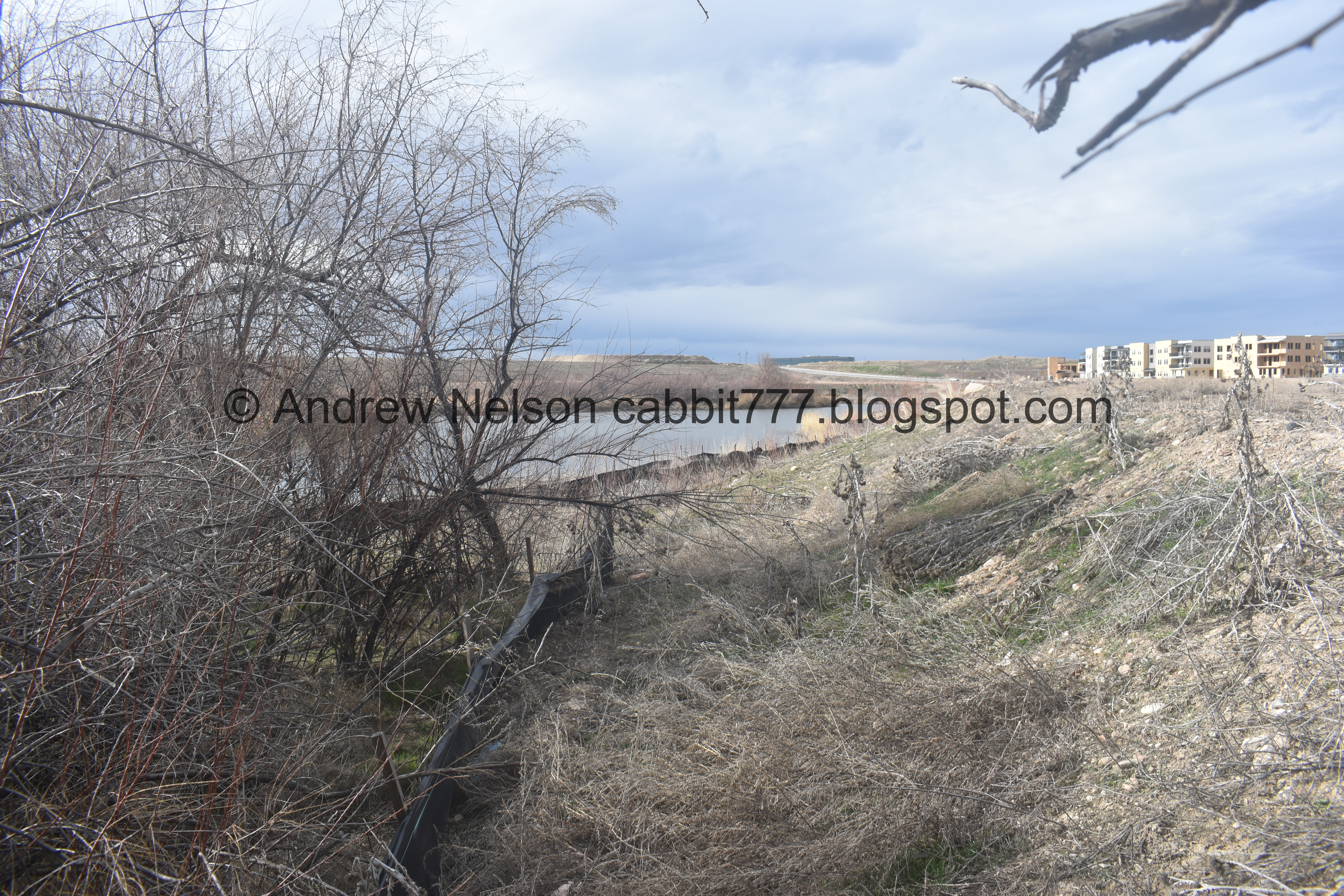
First good view of the pond.

You can see the very faint trail I am following here. Also, note the double barrier. A barrier is normal near a water source when they are developing the land, but this double barrier is different. I half wonder if they plan on putting a paved path around the pond.

The pond with the peninsula. This pond is horseshoe shaped, with a big peninsula in the middle of it.
.jpg)
Panoramic of the east side.

Looking towards the north end.

Back towards the south at an inlet/outlet? to the Jordan River.

North end again, with the tip of the peninsula.

The pond is very river like, which further makes me think this is an oxbow lake, whether natural or with the help of man.

Eventually the thin trail connected to this dirt road.

The tip of the peninsula with the pond on each side.
.jpg)
Panoramic.

The weird tip of the pond.

Looking back at the pond.

From the tip.

There is a faint trail below, but I decided to stay on the butte for a minute.

The pond again.

Well, it didn’t take long for me to change my mind and descend the hill to be on the thin trail.

The pond through the trees.

Mount Jordan.

The other side of the peninsula.
.jpg)
Another panoramic.

Mount Jordan above the pond.

Twin Peaks and Mount Jordan.

Deer tracks. It’s kind of surprising to know deer are down this low in the valley, but I have seen them quite a few times. The Jordan River Corridor is wild enough for them.

The pond again.

Another inlet/outlet that connects to the Jordan River.
The peninsula and Mount Jordan.

Twin Peaks and Mount Jordan again.

Eventually the trail connects to another dirt road.

The superfund site. There was an old steel mill here that polluted the area bad enough that they had to cap it off.

Nearing the end.

Back to the Jordan River Parkway Connector.

The Jordan River and Mount Jordan.

Valence Pond again.

The Jordan River again.

American coot.

I was looking for a way to access the peninsula but the brush was too thick, until I came across this.

Onto the peninsula.

East side of the pond.

West side.

I was just thinking to myself if I were homeless, this would be a nice hidden spot…

Then I saw that I was not particularly original. This did put me on on high alert, but I didn’t encounter anyone so I think it might be abandoned.

The pond again.

I was thinking that it was kind of odd that there were no waterfowl present today, and then I saw a pair of mallards.

Looking north.

Faint trail through the reeds.

At the tip of the peninsula, looking north.

The west side of the pond.

North end.

This trail was a little over grown for me.

Heading back.

Mountains.

Back to the Jordan River Parkway Connector Trail. This little side adventure down the peninsula was about a quarter mile out and back.

Heading down the JRP Connector.

The Jordan River.

Valence Pond again.

Moody clouds.

Another local feral cat.

What I assume to be a storm water drain again.

Back to the east side of the loop.

Last look at the pond.

Nearing the end of the connector trail.

More moody clouds.

Someone is feeding the feral cats.

Old silos.
Well, I have been wanting to go around this little pond for a little bit now, so I am super glad I finally did! I kind of wish I had done so before the development in the area started, but still happy I did before it really progressed. It will be interesting to see what happens with the development though. I enjoyed the random trail today. 8 out of 10 squirrels.
As for difficulty, its pretty flat, but odd terrain so DR3.
Dogs are allowed, leashed. Please clean up after your furry friends.

No comments:
Post a Comment