.jpg)
This section of The Jordan River Parkway is pretty nice, and pretty wild. It features some nice wooded sections, some wetlands, and some nice views of the mountains. We do this section fairly often, but it is nice and easy to get to. Today I finally decided to try a loop option I had noticed. We are having some nice weather today. After such a long a brutal winter I decided I wanted to get out in it.

Quick Details:
Length: I did a 3.08 mile loop de loop. The main trail is about 3 out and back.
Trail Type: Loop, loop de loop, out and back, or connector.
Difficulty: It’s paved and flat. DR2
Elevation Gain: NA
Restroom: No. There are some nearby gas stations.
Dogs? Yes, leashed.
Other Info: Cities: Midvale, West Jordan. Mile Markers: 25. One of the few trailheads that can be reached via Trax.
To Get Here:
From i15 take the 7200 S exit. Take the first left south towards 7800 S. Head west. You will see the TH on the left just before the overpass. If you pass Gardner Village, you went to far.
7800 S. and approximately 1000 W.
If using Trax: Take the Red Line to the Historic Gardner Station.
The Trail:

Beginning of the trail. Huh, that Boat Access sign is new.

Sign about the wetlands.
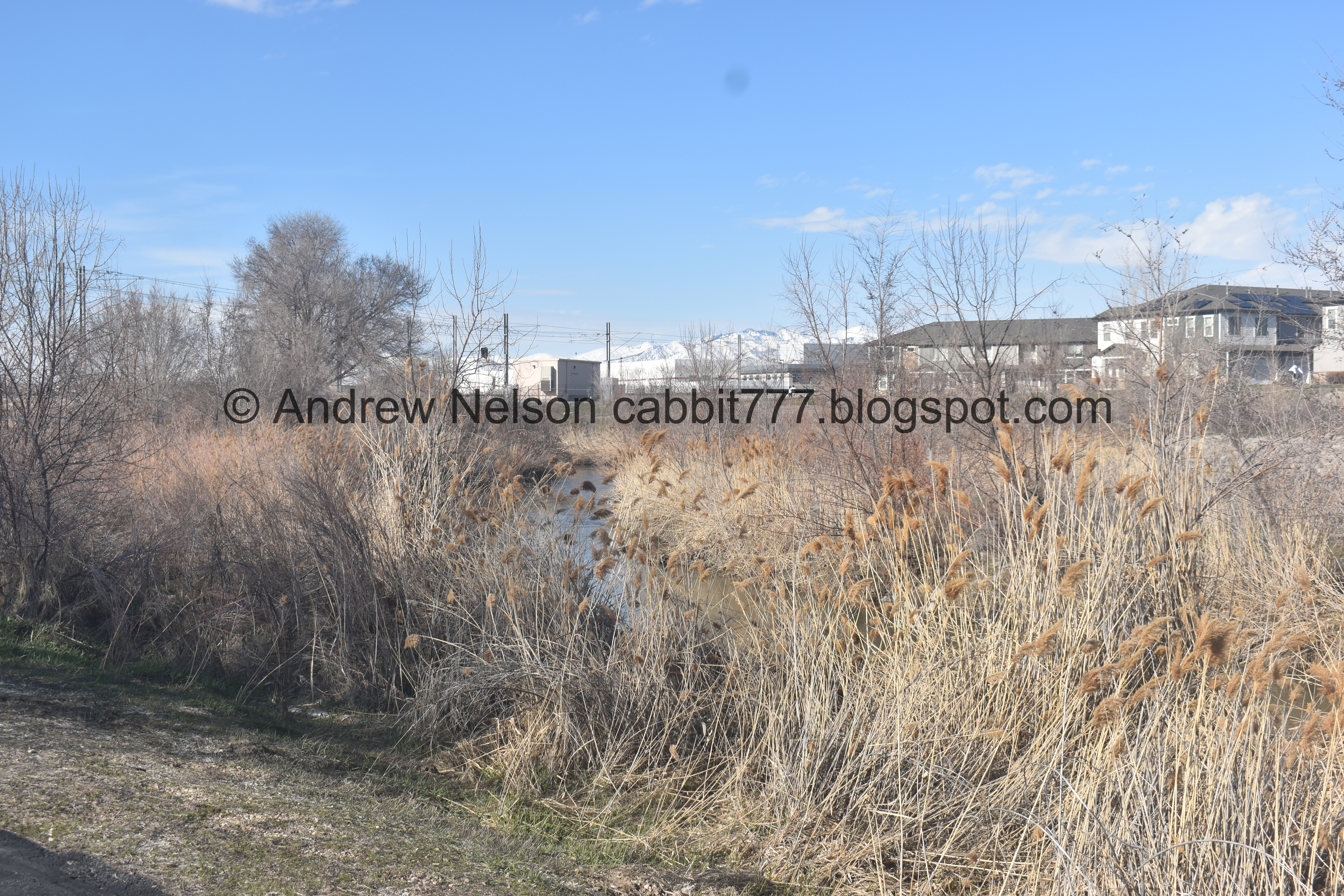
Huh. It looks like what I have been calling Valence Pond for an unknown reason might actually be the south wetland.

Bridge.

Oh! so this is what they have been building here. A new boat ramp. They have been putting a lot of these in along the river recently. According to the sign, it looks like Salt Lake County and ZAP have been funding this effort.

You will need to cross this bridge to head north. It’s new. The old one was an old train truss bridge. It was neat, but it was rickety and made me nervous. So I am glad they replaced it.

Upstream.

Downstream with the new boat ramp.

Yes, much sturdier.

Beaver lodge, or pile of sticks?

Crossing into West Jordan.

I thought these were random unnamed ponds but now I am pretty sure this is the north wetland, based on the sign earlier.

Again. I decided to explore that more on the way back.

The trail up to the Trax station.

I think this is just another storm water outflow.

I’ve been trying to figure out what this is for a while now. It is a bunch of tree stumps, with some of them turned into benches.
I decided to use google earth today and I found that back in 2017 there were trees there (well, duh obviously) but they don’t look very healthy, possibly even burned. Then back in 2013 they look fine. I'm guessing there might have been a fire. So I guess this was how the city dealt with some dead trees. I love the historical function for random things like this.

Whoa!!! I got to watch a kingfisher hover for a second.

This is amazing! Kingfishers are one of my favorites.

He dived, and then swooped back up into the tree. I know he’s a he because he doesn’t have the brown band. One of only a few birds I can identify sex.

He took off before I managed to get the telephoto lens out.

Looking back at the bridge.

I was a little worried about going under this overpass, because it’s warming up, and reservoirs are releasing water to make room for the excessive amount of snow we got this year.

But it was okay today. Phew.

Interesting larger duck.

Under 7800 South.

West Jordan’s area rules.

Long strait section.

Upstream.

Downstream.

As viewed from this… I don’t know what to call these. Viewing area I guess? Its a little alcove that presses against the river.

Bridge to the other side.

There is a low head dam just downstream from it. These are super dangerous.
The river again.

Trax line to the left.

Header under the Trax line.
Clouds above Mount Jordan.
.jpg)
Panoramic.

Mile Marker 25.

Reclaimed sewage water. o.O

This is one of the few places along the Jordan River that I regularly see deer.


Oh sad, she appears to have a bad leg. I hope she has enough food here.

Well, at least she has a friend.

Riverbend.

Trax going by.

Another bridge to the other side.

This water appears to be coming from the North Jordan Canal.

Bridge again.

Nice forested section.

Another one of those viewing alcoves.

The view from it.

American coot.

Before long I reached the Triumph Trailhead at 7000 South. I decided to head back here.

Heading back south. I am definitely not the only person that has decided to head out and enjoy the nice weather after a particularly long and brutal, record setting winter.

I decided to check out the trail on the other side of the river to see if it made a good loop.

Upstream.

Downstream.

Quite the long bridge.
On the other side of the river you re-enter Midvale.

Interesting art piece.

Information about it.

This side of the trail is a little different, and has lighting. Looks like it may have been built by the neighboring business and residences.

The river.

Little island.

The trail again.

The deer again.

The reclaimed sewage water again.

The other side of the island.

Under the Trax line.

The river.

Desire path vs. paved trail. At this point I wasn’t really sure where the paved trail led, so I opted for the desire path. Hindsight being 20/20 and all, I learned the paved path just skirts around that parking lot, and isn’t too much out of the way. Might add eh.. ~1/10th of a mile or so.

The low head dam again. Looks a little more crazy from this side.

Before long the desire path reconnects to the paved trail.

Someone decorated this bench.
I go back and forth about things like this of where I find it whimsical, vs vandalism/littering. Technically this is vandalism, but I find it whimsical so it doesn’t upset me as much. Meh.

LONG bridge. By the way you might consider crossing back over here. I wasn’t thrilled with my next option, but it wasn’t too horrible I guess.

Continuing along. There are a couple side trails that lead to the various buildings.

The river again.

The the pavement turns to the left, but not the right. Uhm… crap that’s not the way I want to go.

Ahha! A very firmly established desire path here we go.

Well, crap. What I thought might be an older bridge turned out to be a pipe. So I was forced to walk along the median along the street bridge. It wasn’t too bad I guess, I just didn’t like it. 78th is pretty busy, and higher speed. But, it’s fairly wide and only about 120 feet long. Just glad I didn’t bring my dogs today. Come on Midvale! Now that you are developing so much, more people are here and walking along the road.

Once we are on the other side of the river we are back in West Jordan.

Yep. Not a bridge at all. Heading back under 7800 South.

In my defense, it kind of looks like a bridge from below. Not to mention from google maps (unless you zoom in more than I did).

An effort to help prevent flooding.

Cliff swallow nests.


I noticed some movement so I pulled out the telephoto. Oh! Looks like they are back!

I decided to see if I could walk around the north wetland.


This is the middle pond.

Lone Peak.

The bigger pond.
.jpg)
Panoramic.

Smaller south pond.

The southwest corner.

From the south.

The southeast corner.

There is some wildlife in there.

Storm water outfall. Where these pond release into the Jordan River.

The 2 bigger ponds.
.jpg)
Panoramic.

Before long I was back to the main trail. This little loop only added about 2/10th of a mile.

Crossing the river for the fourth time.

The new boat ramp.

Downstream.

Upstream.

Back to Midvale.

The new boat ramp again.

Picnic areas near the trailhead.

Zions Bank built a business campus on top of the now capped superfund site. There used to be a steel mill here and it polluted the area bad enough that it required a superfund to cap it off.
Well, I am glad that I finally tried the loop here. I wish the short section along the road was a little safer, but otherwise it is always nice to have a loop option! After such a long and brutal winter it was nice to just get out and enjoy some nice weather, along with everybody else who had the same thought LOL. But it wasn’t too busy and again, I was just really enjoying the amazing weather. I ended up doing a little more, but decided to not include it here to keep this post coherent. 7 out of 10 squirrels. Knocking it down 1 due to having to walk on the road shoulder for a minute.
As for difficulty, it is pretty flat and most paved. Can stay on pavement for most of it so DR2 for that. DR3 for some of the route I did today.
Dogs are allowed, but should remain leashed. Please clean up after your furry friends.

No comments:
Post a Comment