.jpg)
The Big Cottonwood Canyon Trail is a paved inner city trail that follows Big Cottonwood Creek from the mouth of the canyon down to i215 in Cottonwood Heights. The trail features a lot of local history facts and and even goes by the historical Cottonwood Paper Mill. It also features a nice pedestrian covered bridge. We've done it a few times, but it's a good last minute idea.
We tried to do the nearby Little Cottonwood Trail, but it was way too snowy and slushy so we turned back and did this instead. I figured since it was lower down and paved it would likely be better and was right.

Quick Details:
Length: We did about 2.56 miles. But the full thing is about 3.6 miles out and back.
Trail Type: Out and back, Connector.
Difficulty: DR3. It’s completely paved but there is a bit of a climb.
Elevation Gain: About 350 feet. we did about 280.
Restroom: Yes on the east side of the parking lot. They are even heated!
Dogs? Yes, leashed. But don’t go into the canyon with them.
Other Info: This trail starts at the top, and returns uphill. If you want to avoid that, there are a couple places near the bottom you can start at.
To Get Here:
Take i215 to exit 6, 6200 south. Head east on 6200 S/Wasatch BLVD for about 2 miles. Turn left into Big Cottonwood Canyon, then left into the Park and Ride lot. The trail is on the west end of the parking lot.

Low hanging clouds (Passenger Seat Photography (PSP)).
The Trail:

After descending some steep steps the trail heads under Wasatch BLVD. There is also a ramp, FYI.

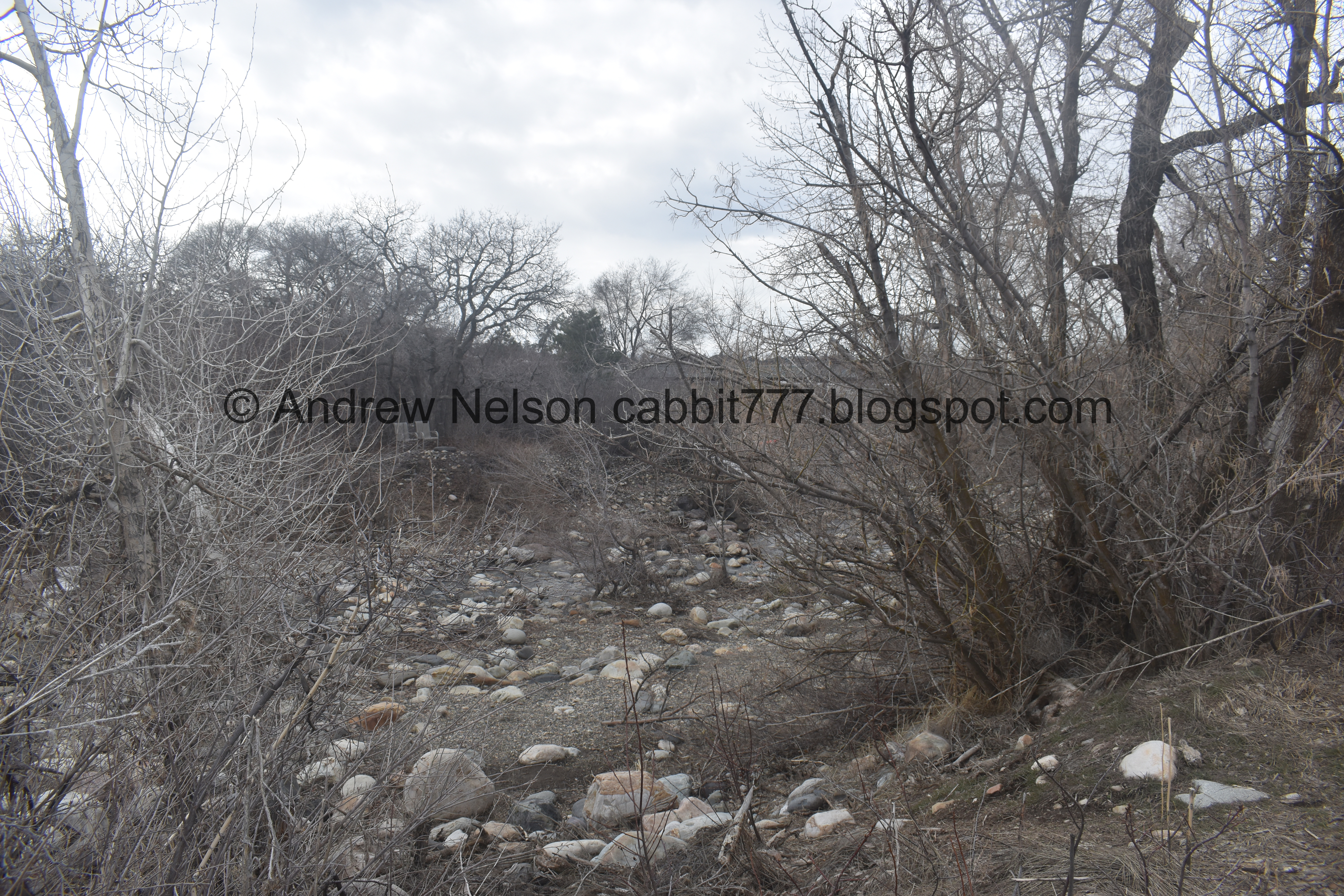
Big Cottonwood Creek.
I had seen on the news that the main rivers in Ogden were running really high so I was curious why this one isn’t yet. After some back and forth between the two of us I remembered another news story mentioned that water managers have been releasing water from reservoirs to make room. There are several reservoirs above Ogden.

Welcome sign. I covered the historical stuff last time we did this trail, so I won’t do that for each one this time.

The creek again.


Mountain bluebird.

The trail.

The creek again.

Little waterfall.

Nice little forested part.

The creek again.

Up until 2019 this part was a very thin shoulder along Big Cottonwood Canyon Rd. I am glad they decided to widen it and make it more safe.

Here is how it looked back in 2016. Yeah, it is MUCH safer now. This road isn't terribly busy, but I remember not liking cars passing by within a foot or so of me.

Mountains above.

Before long you are in a neighborhood for a little bit.

With a neighborhood bar, The Hog Wallow. So if you want to take a beer break, or grab some lunch you have an option. One of these days we will check it out. However, I have been wanting to try the Cotton Bottom for a bit now, so we went there afterwards instead.

You want to go ahead and cross the crosswalk here to stay on the trail.

Crossing over Big Cottonwood Creek.

Officially this is the Cottonwood Paper Mill. We know it as The Old Mill, as that is what it is called by locals.

Again.

Another forested section.

The old mill again.

Closer.

With the tower.

The creek again.

The trail.

The old mill again.

Roots messing up the pavement.

The back of the old mill.
The creek fans out a bit here.

The pedestrian covered bridge the crosses the creek towards a connector trail.

From the front. I have found a couple pedestrian covered bridges in Utah, but I have not found any that were originally meant for cars.

Inside.
Upstream.

Downstream there is a small reservoir. Or maybe a detention or retention pond. I actually just learned there is a difference today haha. Detention ponds are designed to temporarily store excess storm water during heavy rain events. Retention ponds are designed to permanently hold water and promote infiltration into the ground.

The bridge from the other side.
We decided this would be our destination today and turned around here. Once you cross 3000 East it becomes a commercial district. Which is kind of meh. However it does offer more options for food and drink if you want it.
Now that I am looking at the map again, it looks like the trail now connects to a new park called Knudsen Park and would have allowed us to access the Cotton Bottom. Whelp, now we know.

The creek again.

Again.

I found a small trail down into the creek bed. Probably wouldn’t be able to stand here in a month or so when the runoff kicks into gear.

But for now it’s alright.

The covered bridge again.

Closer.

Twin Peaks.

Closer.

Through the woods.

Back to the old mill.


From the side.

The tower.

The side again.

The crosswalk you need to cross again.

The old mill again.

The creek again.

I’m sure this homeowner just loves all the Instagrammers stacking their drought friendly ground cover into random useless cairns.
FYI cairns are meant to be way markers to keep people on the trail. People stacking random ones as “art” are wrecking havoc on some trails.

Mountains.

Low hanging clouds.

The new sidewalk section along Big Cottonwood Canyon Rd.
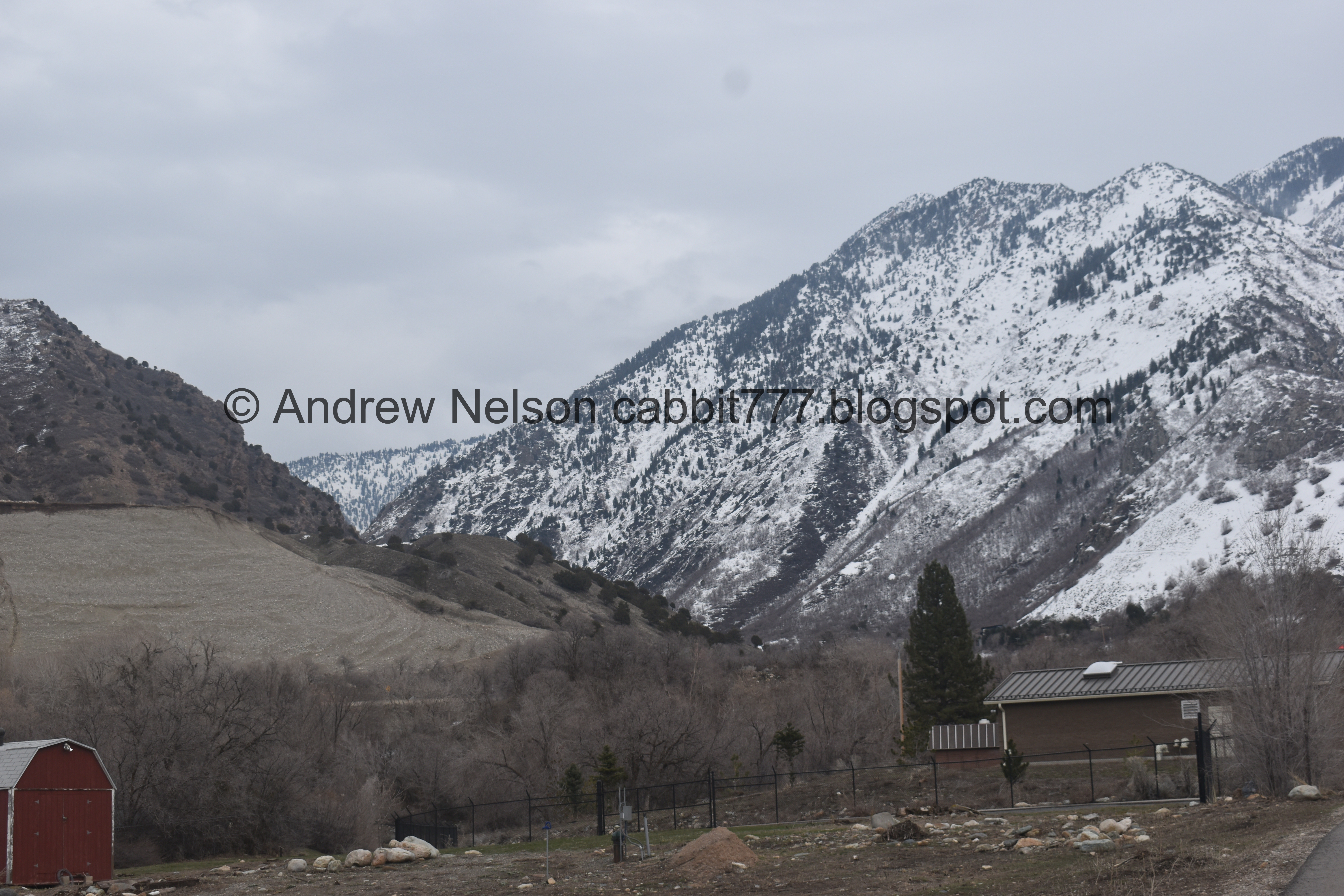
Big Cottonwood Canyon.


Forested section.

The little waterfall again.

The creek leading to Wasatch BLVD.

Another little waterfall.

I noticed this little gap under the bridge. Made me kind of wonder if the bridge wasn’t originally as long as it is now, and why it needs to be this long.

Heading under Wasatch, through what appears to be a snowplow overblow berg.

Looking up Big Cottonwood Canyon from the Park and Ride Lot.

Fun clouds.
After this we decided to pop into the Cotton Bottom to FINALY try their garlic burgers and have a beer or two. Wow, their garlic burgers live up to their name and they are freaking HUGE.
There was some drama with the long beloved Cotton Bottom bar and we almost lost it. The city bought it and surrounding parcels with plans to develop the area, and they temporarily leased it back to the original owner for a bit, then Bar X bought it (saving it) and from what I understand acquired the original recipes.

Low hanging cloud layer (PSP).
Well, it wasn’t my first choice, but we did enjoy our walk. As far as neighborhood trails go, it is quite scenic and has a lot of history to learn about along the way. There is a short neighborhood section, and if you do the full thing there is a short commercial section, but overall it offers some nice views and a good way to enjoy Big Cottonwood Creek. 8 out of 10 squirrels today.
As for difficulty, it is paved and generally level, but there is a definite hill.
Dogs are allowed, leashed. Please clean up after your furry friends.

No comments:
Post a Comment