.jpg)
Lake Mary is a stunning reservoir located in Big Cottonwood Canyon. The trail features some beautiful woods, wildflowers, wildlife, and up to 4 lakes if you feel up to them, well technically you can do these four and the other 3 as well. Today we only hit Lake Mary. This is another one of our regular hikes we do often.
My original plan was to go to Twin Lakes, however, the Solitude Nordic Center was an absolute mad house! Landis deemed going around the parking lot twice before accepting defeat. We thought about parking in overflow parking, which only adds 2/10ths of a miles each way, but we decided screw it, we’ll do Lake Mary instead.

Quick Details:
Length: Despite multiple signs saying 1 mile, it is 1.2 miles to Lake Mary. We did 2.57 out and back, with a little bit of exploring.
Trail Type: Out and back, with a loop option, or a point to point with shuttle.
Difficulty: DR4. This is a long climb!
Elevation Gain: About 750 ft.
Restroom: I am certain there has to be one in one of the buildings at Brighton, but I have never been inside any of them. There is one at the nearby Solitude Nordic Center.
Dogs? No. Big Cottonwood Canyon is watershed.
Other Info:
To Get Here:
Head to the top of Big Cottonwood Canyon. Go around the loop to the big parking lot for Brighton. You will see a big framed sign, park near that.

Heading up the canyon (Passenger Seat Photography (PSP)).

Some snow hanging on to Mount Millicent (PSP).
The Trail:

Here is the big sign, just to the right on the main Brighton building. The trail is directly behind it.

The other side. I swear its different again.

Trailhead sign.

Pot guts!

Hello cutey!

This trail is a long climb!

Forest.

Well what do we have here.

Judging by the size of those antlers, I would say he is a juvenile.

We appear to have caught him having dinner.

Better look at those antlers.


Handsome fella.

Okay, bye mr. moosey!

An old trail they are trying to revegetate.

This is one of the trails I normally do to enjoy wildflowers, but it is a bit early for that yet. There are a couple here and there, but later in the year, this entire hillside will be covered in them.
I believe this is a western wallflower, but am not sure.

Another trail reroute.

Some bluebells.

Glacier lily.

Little bit of a gentler climb for a minute.

Little patch of aspens below Mount Millicent.

Taking in the view behind us.

Again in about a month or so this will be filled in with wildflowers.

This too. Looks like we have some corn lilies starting already.

Little bench if you need a break.

Big boulder.

After the big boulder the trail flattens out for a bit.

Little side creek. I don't see a name for this creek on the map, but I noticed a nearby dirt road called Snake Creek Rd. so, I'm going to go out on a limb and guess that is what this creek is called.

Some big patches of snow. Honestly, if we did not encounter any snow on this trail this time of year, I would have been really surprised. Extreme drought or not.

Back to the rocky climb.

Another patch of snow.

Pretty forest.

Here we reach the Dog Lake junction. A quick spur trail out to a smaller lake, not to be confused with the more popular Dog Lake. However, the rest of the lakes are on the main trail to the right.

View of the valley below.

Bridge over the combined creeks coming out of Lake Mary and Dog Lake.

The creek again. Part of the headwaters of Big Cottonwood Creek.

Fun gnarly old tree.

Twin Lakes junction. You can actually do all 7 lakes up here in one big loop, with a few spurs. I have not done that yet, but it does seem neat. I have visited all 7 lakes, but not on the same trip.

Another rocky climb. Oi.

The creek coming out of Lake Mary.
Little spillway.

Again, eventually this will be filled with wildflowers.

Huh. There appears to have been a landslide of some sort through here. It looks quite a bit different.

These stairs are also new.


Marmot!

OMG Baby marmots!!! I have never seen babies before! And I think I might have witnessed momma feeding them with the previous shots. So cute!

So adorable! I wish I had thought to take video cause they were wrestling and being adorable.

Another angle. Still cute.

Not sure if this is a critter hole, or a sinkhole. I am leaning towards the latter.

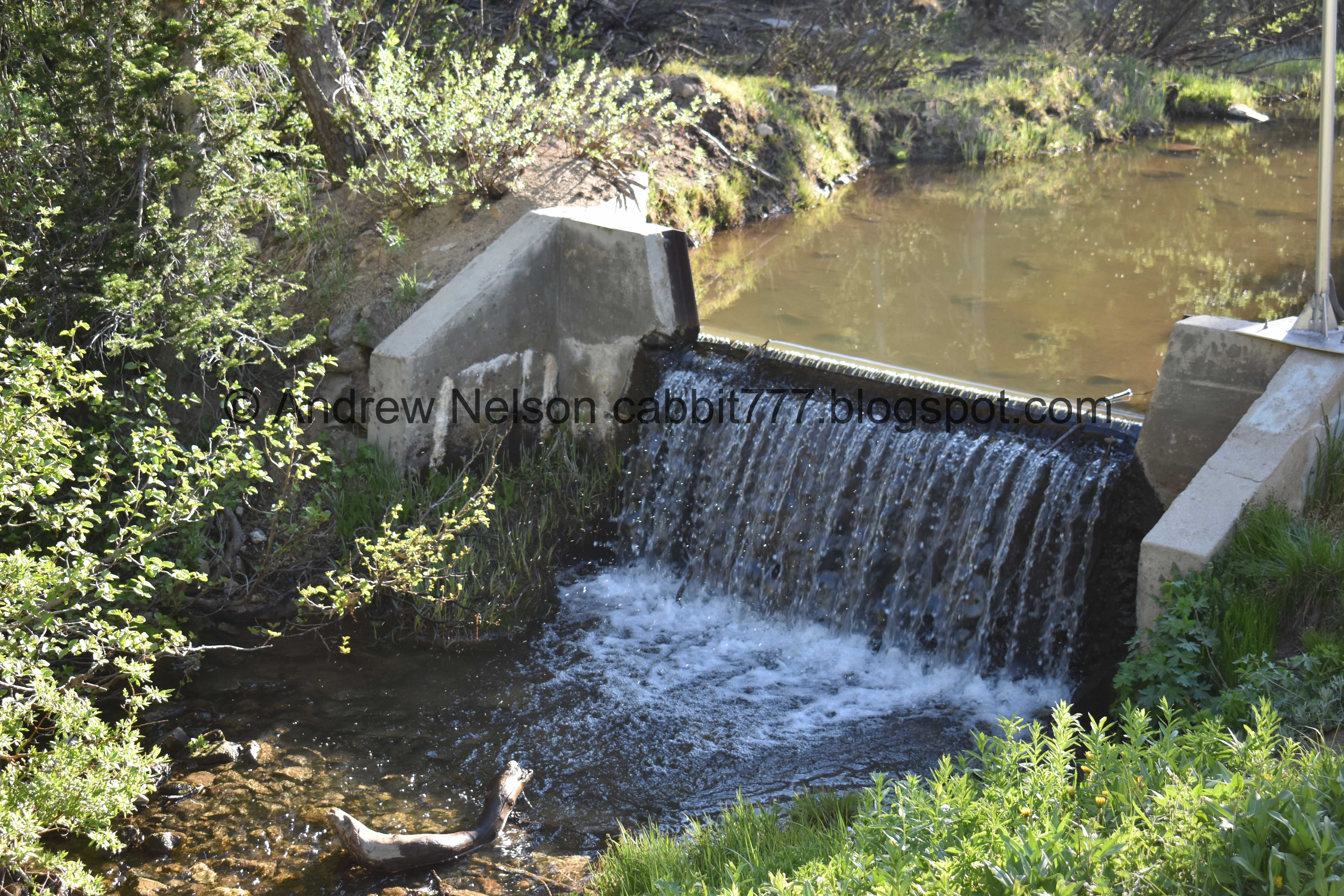
The outflow from the Lake Mary dam.

The last rocky climb before you reach the lake.

We made it! Phew!

There is absolutely no excuse for people who swim here. There are plenty of signs.

The front of the lake.

The back. About 20 or so feet below the surface is the original lake, Lake Phoebe. Which I got to see the closest approximation of back in 2015.

Panoramic. With Mount Tuscarora, and Mount Millicent.


A Steller’s Jay. It’s been a good while since I have seen one of these guys, let alone got some (not great) photos of one. They are one of my favorite non-raptor birds. Now that I think about it, my 2 favorites both have little mohawks LOL. This guy, and kingfishers.

The back of the lake again.

Another panoramic.

Some of the little islands out there. I bet those scree fields are chock full of pikas.

Mount Tuscarora and Mount Millicent again.

Clayton Peak (I think), Sunrise Peak, and Mount Tuscarora. Lake Catherine is also up there.

The back of the lake, where like I said, the original Lake Phoebe rests under a lot more water.
There is a big boulder back here towards the middle of the lake, which is usually occupied, but it just became available so I scampered on up.

Another panoramic.

Chipmunk.

Who is obviously used to being fed.

I struggle trying to correctly identify these types of flowers, so I generally just (probably usually wrongly) call them daisies. But they are pretty.


I have no idea what these are, but they are pretty.
One last view of the lake before we head back. Normally I push on to Lake Martha, as it is really not much further, but we got a later start today and were losing daylight.

The big boulder we were standing on.

Mount Tuscarora.

Some more western wallflowers (I think).

View below.

The trail below the dam is quite rocky, and pretty wet, so just be careful.

The water coming out of the dam.

The dam.

Pika. Yay! I don’t think we have ever seen one on this trail, though it is not terribly surprising.

Marmot momma.

Pika again.

Baby marmot. So cute!


Momma and baby.
This is incredible! I have never seen baby marmots before.

Another one of the babies.

I love this mid jump shot of this pika.

Momma and baby again.


Look at those cute little hands!

Another one of the babies popped out.

Alternate view. Alright, I really need to pry myself away from the cute critters.

Little pool.

Some forget me nots coming in.

Short steeper, rockier part.
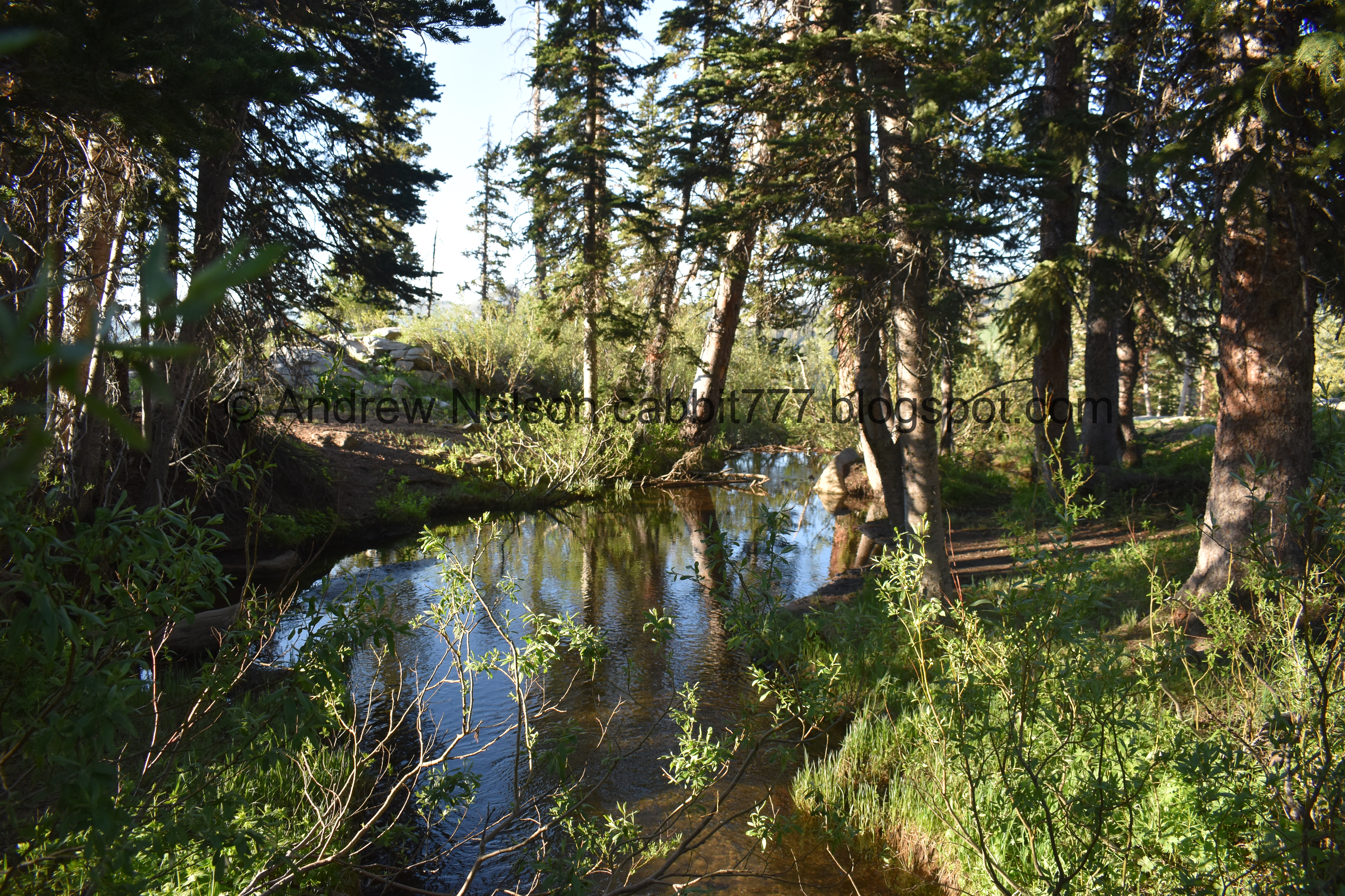
The combined creeks again.

Spring below.

Pretty forest.

The little side creek again.

The big boulder again.


Drill holes. I am just speculating here but, considering I am seeing 2 here with similar patterns, I think this has less to do with quarrying stone, and more to do with possible ski lift anchors?

More corn lilies.

View down.
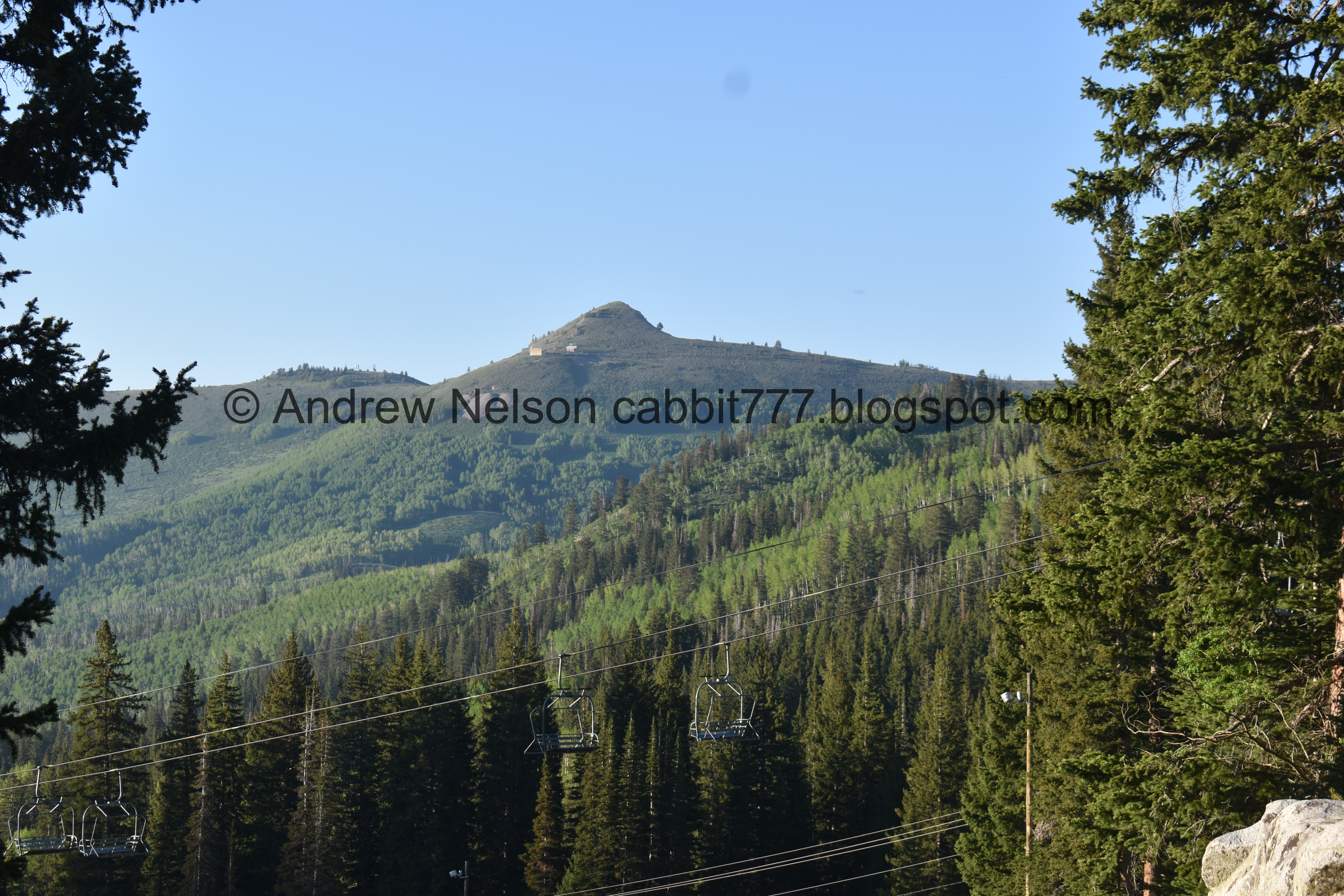
Scott Hill on the other side of the canyon. It’s easy to spot with the Mickey Mouse shaped mine tailings.

Last time I was up here I thought this rock looked like a dinosaur, today I think it looks more like a frog with a mouth full of plants.

Trail reroute.

Yay! Our moosey friend is still there. Looks like he might be getting ready to go to sleep.

Handsome fella.

Yup, going to bed. Fun fact, moose curl up and rest their heads on their back/legs when they sleep. Er, well, at least this one did.

Pretty forest.

Almost down to the bottom.

Back down to the parking lot.

Scott Hill again.

The Brighton Lodge.

Some of the other resort buildings. The main one on the left.

The canyon is so green right now (PSP). I love it.

Heading down the canyon we got stuck in the construction closure for a good 20-30 minutes (PSP). Oi.

They aren’t even working on it now (PSP). They really need to adjust the light for end of the day traffic leaving the canyon, at least on weekends. That was ridiculous.

Nearing the mouth of the canyon (PSP).
Well, I do enjoy that trail, even if it is a little tougher. It is super pretty and offers a lot of interesting things to see, and well, I almost always see wildlife along the way. It actually was not terribly busy today, but, like I said we were a bit early for the wildflowers. 9 out of 10 squirrels, losing one for the rougher climb.
As for difficulty, this is quite the climb! With some particularly rocky parts. DR4.
Dogs are not allowed in Big Cottonwood Canyon, so be sure to leave Fido home.
