.jpg)
Ghost Falls is a very small waterfall located in Corner Canyon. The canyon has a vast network of trails so there are several ways to reach the falls. My general preferred route is the Canyon Hollow Trail, but I have been wanting to see how it is on the Lower Corner Canyon Trail, which is an old dirt road that heads up the canyon. It’s not very much shorter, but it is more direct.

Quick Details:
Length: About 2.8 miles out and back.
Trail Type: Out and back, loop options.
Difficulty: DR3
Elevation Gain: About 600 feet.
Restroom: Yes, flush toilets.
Dogs? No. Dogs are not allowed above the Bonneville Shoreline Trail (BST). Which most of this trail is.
Other Info: They strongly ask to not use the trail if it is muddy. If you can feel yourself sinking in, and/or are starting to collect mud on your shoes you are damaging the trail and should turn around. It’s wise to have a backup plan if there was a recent storm.
Also: There is a huge web of trails in this canyon. I recommend printing out the map, or having it available on your phone, particularly if it is your first time. Here is the 2021 version of the map, but I think they archive it every year, so you might have to google it.
To Get Here:
From i15 take the Bangerter Highway exit 289 go left. on 13800 S. About 1.7 miles turn right on 13th E. Go under the bridge and turn right onto Highland Dr. Take the first left onto Rambling Rd. At the traffic circle, take the first exit onto Mike Weir Dr. Turn left on Pinion Hill Ln. Turn right on Canyon Vista Ln. Turn left on Gray Fox Dr. Turn Right onto Coyote Hollow Ct. Go to the end and park.
You want to use the trail to the right of the restroom and TH kiosk and then immediately go left.
The Trail:

Trailhead kiosk.


Right off the bat, woo poppies!!! I know we have some wild poppy fields, and these could be wild, but I get the feeling someone might have spread some seeds here. Still enjoyable.

Like I said we normally use the Canyon Hollow Trail. But today we took the BST down to the Lower Corner Canyon Road.

If this creek has a name, I have not had any luck locating it.

Pretty forest.

Not 100% sure, but I think this is hounds tongue.

Looking up canyon.

The Creekview Trail.

The little creek again.

The trail widens up a bit.

Down to the crossroads.

There is an additional kiosk here at the crossroads. It’s helpful to get your barring's.

Continuing up the Lower Corner Canyon Trail, which is the old canyon dirt road.

Flax.

Oh it looks like there is a Burnham Creek. Not sure if it is what comes out of Burnham Gorge, or if it is the entire creek up this side of the canyon.


More flax.

Continuing up the old road.

Some iris’s. Pretty sure these were planted as well.

Pretty pink flowers.

The creek.

Looks like some bird met their demise here.

A bunch of taper tip onions.

I swear the signage in here gets better and better every time we come up here.

You can take this trail to the waterfall, but it’s a little bit sketchy so I prefer not to use it.

Water diversion.

Didn’t get a shot of it on the way up, but there is a gate across the old dirt road just above the water diversion. There is a tight fit to squeeze though, or, you can just open the gate. Just be sure to close it after you. Yes, you are allowed to be here.
Also, the trail is a bit overgrown here.

LOL an engraved typo is somehow even more funny than a standard typo. The trail is called Hoof N Boot.

Oof, bit of a steeper climb here.

The 2nd gate, where Landis demonstrates how to open it. There is a desire path workaround to the right of this gate. In fact, all but the first gate have a workaround so you don’t have to fiddle with it if you don’t want to.

Now the Lower Corner Canyon Trail shares with the Canyon Hollow Trail for a bit, so we have done this part before.

Taper tip onion.

Again, this trail will get you there, but there are some sketchy parts. So, again, I prefer to stay on this side of the creek.

More taper tip onions.

You can take this trail. It is not sketchy at all, but I was on a mission the use the Lower Corner Canyon Trail. So, again, we stayed to the right.

Still quite overgrown.

The 3rd gate. This one has a clear workaround to the left so we didn’t have to mess with it.

Very shortly after, you come to the 4th gate, which you will not pass. Instead you will take the trail to the left. This is just over a mile up. Also, somebody left their ATV here, odd.

Now we will be on the Canyon Hollow Trail for the last little bit.

1st bridge.

Which is over a deep but dry gorge.

Taper tip onion.

Forget me nots.

Miners lettuce.

More taper tip onions.

The short trail to the falls is a little thinner, and has a short section that triggers my fear of heights, but it is quite thick with trees so I am able to get through without freaking out too much. It is 100% better than the trail on the other side of the creek.

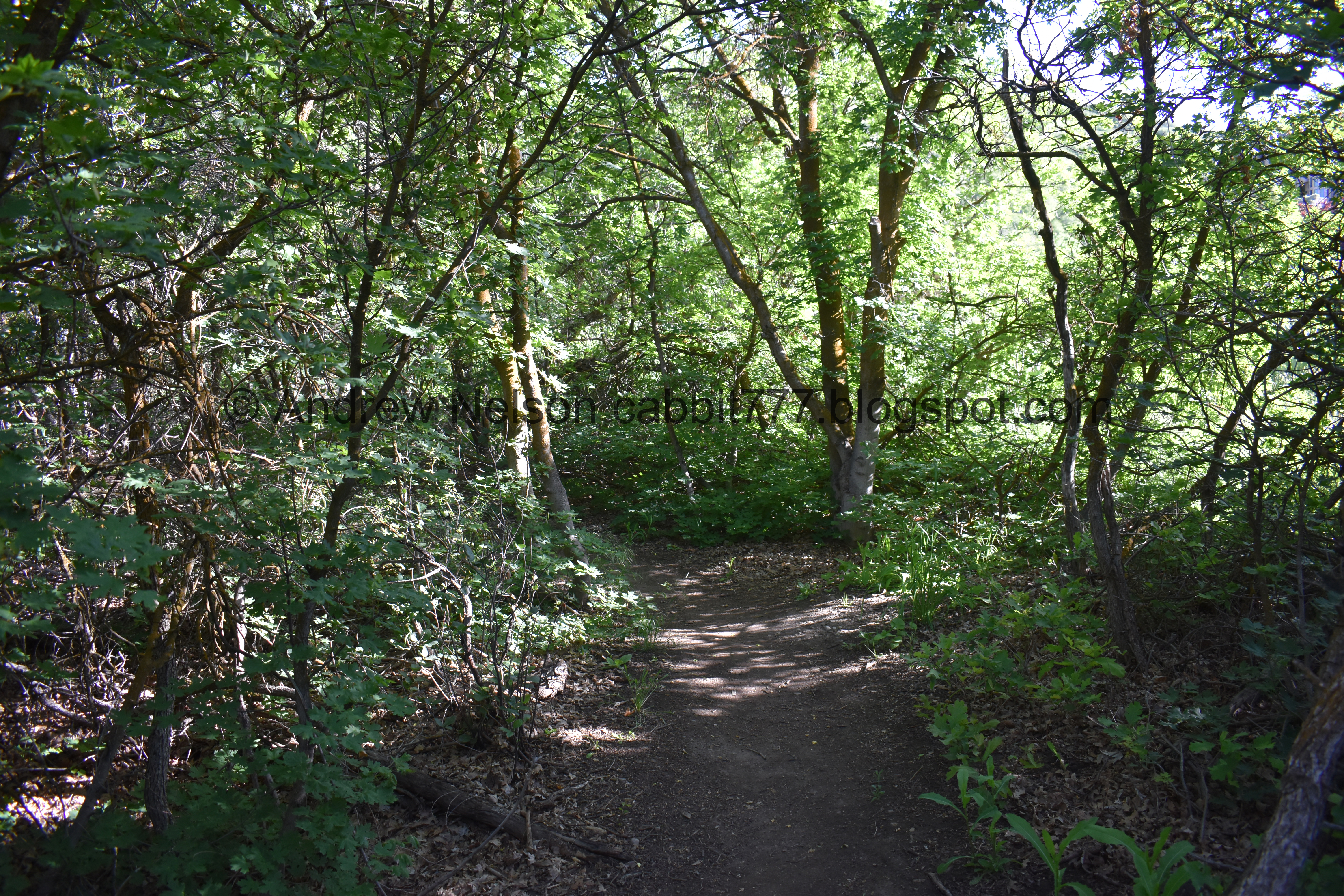
Pretty forest.

The trail split sign for this is hidden behind the trees on the right.

You want to go left here.

More forest.

More taper tip onions.

2nd bridge.
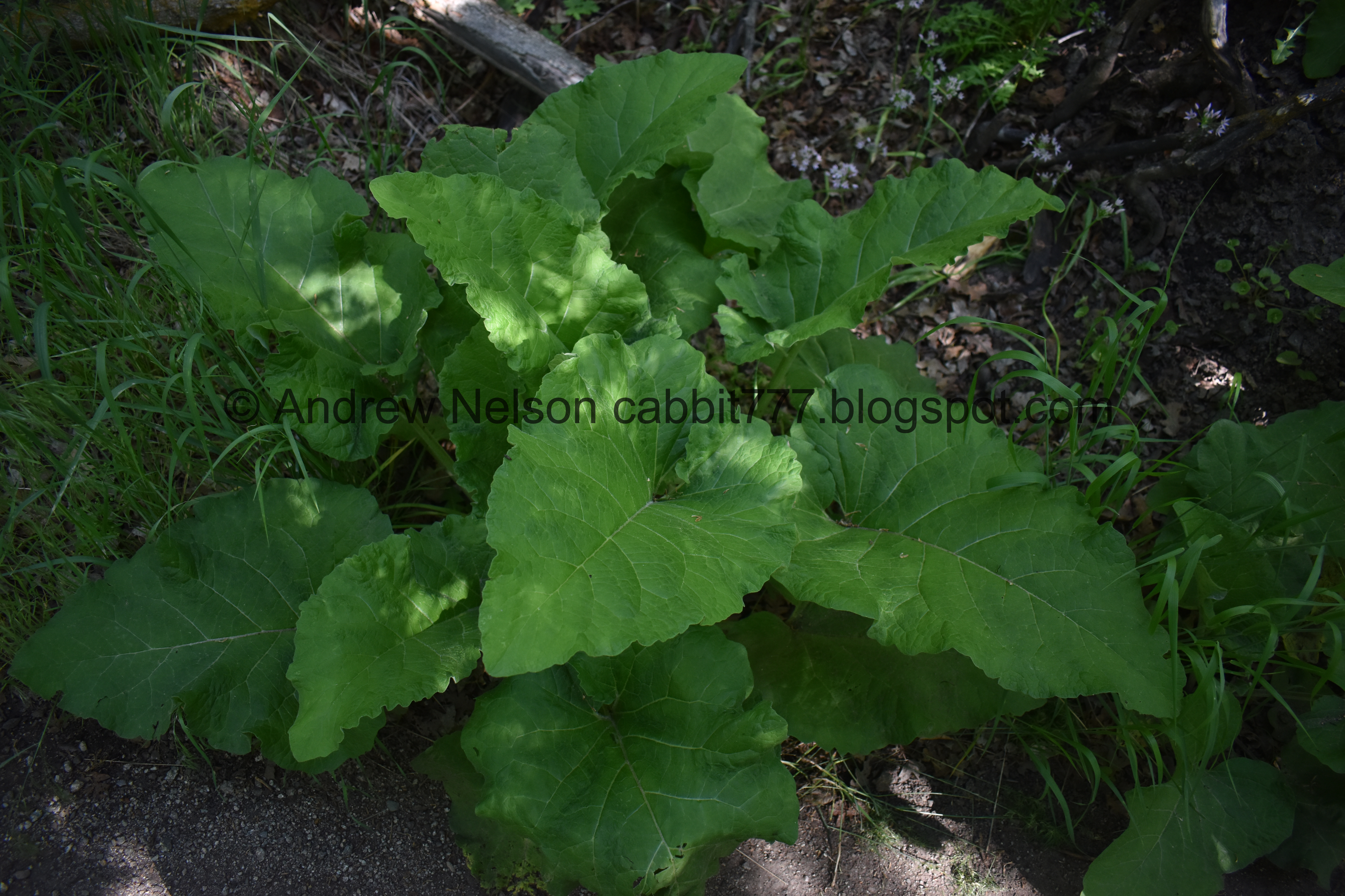
Burdock.

3rd bridge.
There are a bunch of trail splits here, you want to go left, over the 4th bridge and then you are there.

It’s flowing pretty good, but not as good as I have seen it. It’s also a bit overgrown.
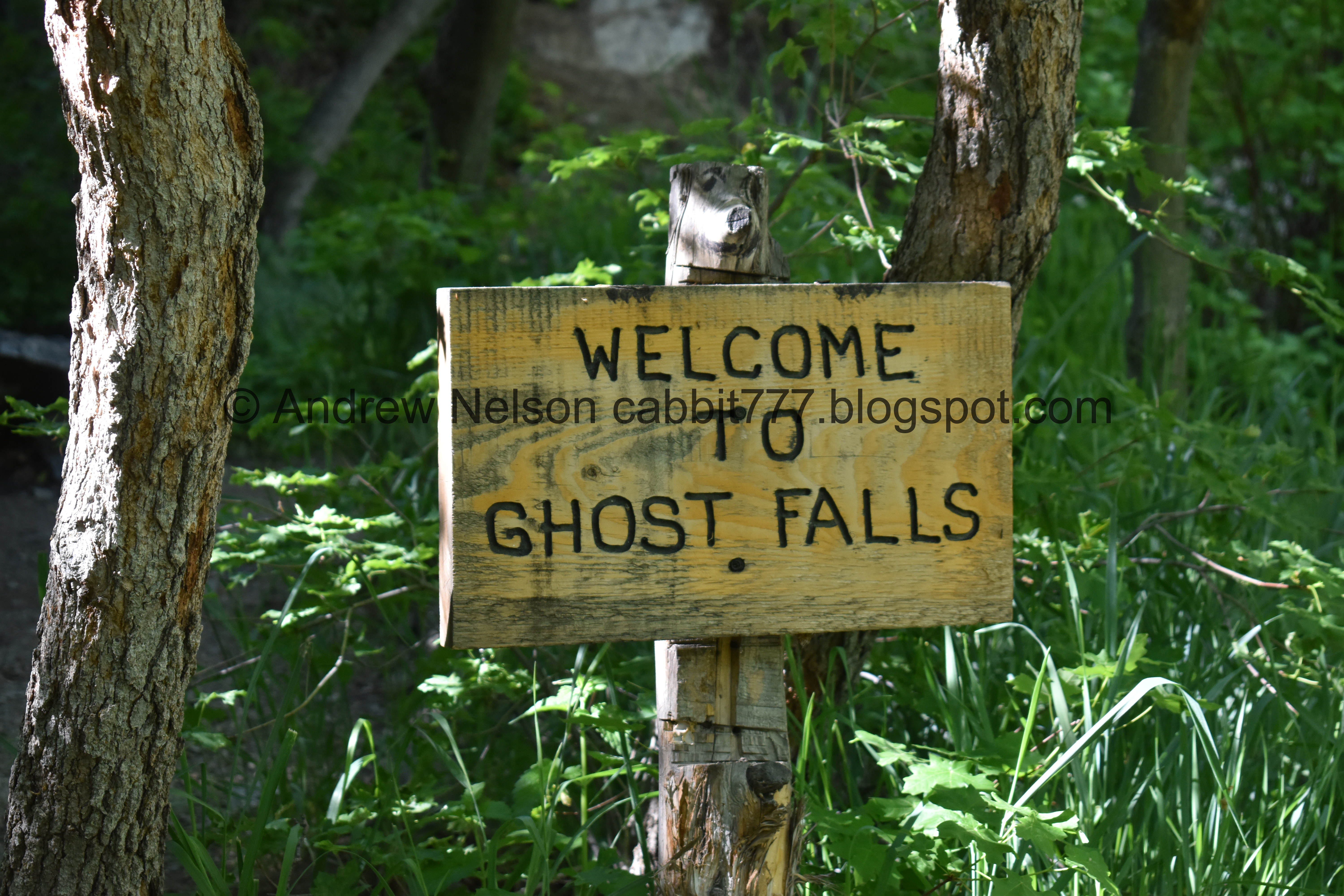
Welcome sign.

I still have yet to see any, but this is the only place we have explored that warns of poison ivy.

From the side.

Back to the front again.
The main drop.

Downstream.

The bridge over the outflow, or the 4th bridge.

Another poison ivy sign.

One final shot before we head down.

4 way trail split. We’re going to go right and head back the way we came. The other 2 trails head further up, or you can turn around and go down on the other side of the creek. But as I mentioned it's a bit sketch.

Crossing over the main creek.


Pretty forest.

Wrecked truck in the creek. I didn’t bother trying to get closer to it today since I have done that before.

More forest.


Some deeper purple onions.

More forest.

I think this is woodland star.

More onion.

Back down to the first bridge.

Back to the Lower Corner Canyon Trail. You can see the 4th gate on the left, and a downhill bike trail across the way.

Back down the overgrown old road.

Deer tracks.


I love these beautiful little butterflies. I believe it is a silvery blue butterfly. Weird, I usually see these guys in big groups. Pretty sure this is the first solitary one I've seen.


More flax.

Down to the second gate.

View down.

Down to the first gate. This one does not really have a workaround. You can squeeze through that opening on the right, we did that on the way up, or you can just open the gate. We opted to do the latter on the way down. This one sticks a bit.

Landis found this old Pepsi can, in surprisingly decent condition. We looked up the design, and it appears to be from the 70’s (I thought older, like 50’s).


Heading down.

Some weird bug of some sort.

Little clearing near the bottom.

Back to the crossroads. Now we just have the little bit of uphill left. About 3/10th of a mile.

You can see the silica pit from down here.

Heading back up the BST.

There is a part where the BST connects to the Coyote Hollow Footpath, so, since they are parallel, we decided to hop over to that and take advantage of the shade it had.


The creek.

It’s a bit thinner but it’s pretty.

Pretty forest.
I was starting to get the feeling that this trail was going to spit us out just west of the BST, and I was a little bummed because I wanted to see the poppies again.

I was correct in that it did indeed spit us out just west of the other trail, just barely. But no worries, there are some poppies up here as well!


So many of them!

Random pink one.


Super pretty.

Burdock.

Another TH kiosk.


More poppies.

You can see the Aquariums Claw from up here (Passenger Seat Photography (PSP)).

Just enjoying the mountains while they are still green (PSP).
I really do enjoy this trail system, there is quite a bit to explore in such a small canyon. We didn’t run into a lot of people today, and even had the waterfall to ourselves. The old road (Lower Corner Canyon Trail) was a decent way to get there, but I think I prefer the Coyote Hollow way. 8 out of 10 squirrels today.
As for difficulty, it’s a pretty mild climb. DR3.
Dogs are not allowed above the BST, and the majority of this trail is above the BST, so leave Fido home, or plan to maybe do Lower Corner Canyon.

No comments:
Post a Comment