.jpg)

Quick Details:
Length: 1.6 miles one way, 3.2 out and back.
Trail Type: Out and back, connector, loop option (go back via Valence Pond).
Difficulty: DR2.
Elevation Gain: Maybe 16 feet.
Restroom: Not at either end.
Dogs? Yes, Leashed.
Other Info: Cities: Midvale, West Jordan. Mile Markers: 23, 24. One of the few trail heads you can reach via Trax.
To Get Here:
From i15 take the 7200 S exit. Take the first left south towards 7800 S. Head west. You will see the TH on the left just before the overpass. If you pass Gardner Village, you went to far.
7800 S. and approximately 1000 W.
If using Trax: Take the Red Line to the Historic Gardner Station.
The Trail:

The trailhead. Looks like we were not the only ones with this idea today.

This first bridge will take you to the Historic Gardner Trax Station, or south under 7200 S. towards 7800 S. You currently cannot do that though, as the tunnel is flooded (we’ll come back to that).

First glimpse of the river.

I think this is where Bingham Creek joins the Jordan River.

Snow covered tree.

Mile Marker 24. As I mentioned last time, that is a just a smidge over halfway along the trail.

Half Mile mark from the trailhead. They have one of those Olympic era Gold Medal Miles along here. But it goes down the other trail.

Just a little bit after the half mile mark is the 2nd Bridge.

The sign doesn’t mention Valence Pond, but that is forward towards Midvale. The main Jordan River Trail continues by going right and crossing the bridge.

Nice looking bridge.

This sign, while I guess technically true, is a little misleading. I guess it is the last bridge over the Jordan River, that is true. But the last bridge that finally completed the Jordan River Trail was over the railroad tracks between North Temple and 200 S. in November, 2017. External Link.
The Rotary Club, who appear to have donated the red resting rocks, also helped fund the bridge, along with the city, and other donors. Awesome.
Just making a note: in 2012 they completed the basic skeleton of the trail by connecting it to Davis County. And there were still 4 gaps that needed to be filled, including this one. External Link.
View to the south.

View to the north.

Entering West Jordan. This confirms my suspicion that the east city border generally follows the river. Not perfectly, but close.

Old farm.

More benches from the Rotary Club. apparently there is a West Jordan division.

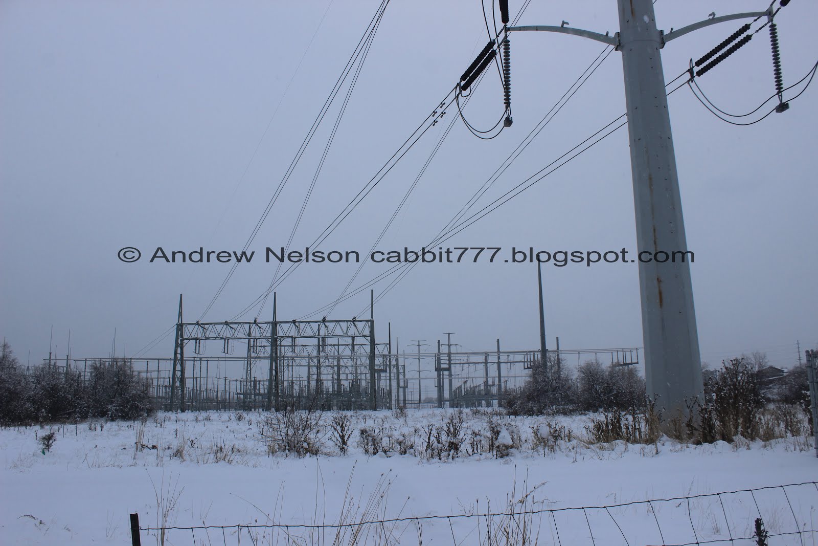
This portion of the trail follows these power lines, which you can hear, unfortunately.
Birding tip: Keep an eye on the top of the poles. Red tail hawks and kestrels tend to like hanging out on them. No luck today, but I imagine this is still a good spot to look for them.

I wonder what these random towers on that hill are. I did just learn that hill is the Sharon Steel Tailing Cap, so they probably have something to do with that.

Continuing along. It is nice and peaceful through here.

Snowy trees.

Oh cool, there is another connector trail here.
Also, uhm… Big Bend Habitat? What is that???

8600 S. Connector trail.

Well this sounds absolutely amazing! I cannot wait for it to be completed! From the little digging I did, it would seem a plant used to be here, and other things that slowly straitened the river and got rid of some flood plains. They want to restore some of that, and are working to build a nice wetland habitat and park to enjoy. It is looking pretty close to completion, I am kind of hoping months, vs. years, but, who knows. I will keep an eye on this.
Ooh! I found a really informative plan (external link) Interestingly enough, even though it will be called Big Bend, the plan looks to make the bend smaller. Also, about half used for recreation and the other half will be habitat preservation land. Sadly, this doesn’t really cover the anticipated timeline.

Little pond. Considering this does not show up on Google Maps, I am going to say this is man made. Also, confirmed it was built.

Continuing along.

Another view of the new pond. The entire area is still fenced off while they work on it, but I am super stoked to see it completed.

Mile Marker 23.
The trails goes around a power plant near the south end.

The North Jordan Canal. The trail will follow this fairly closely all the way to 90th.

Narrow corridor between the power plant and the canal.

The canal.

Cows on a hill.

The power plant. Too bad it’s so gloomy I bet the mountains look pretty good from here normally.
I did finally see a kestrel, but didn’t get a good enough picture of it.

Almost to 90th south.

Happy to see a tunnel, which will let you safely cross underneath 90th. I tracked the mileage up to the tunnel, and it closely matched what google expected it to be at about 1.6 miles. We did go a little further though, so this is extra and not included in the mileage.

Inside.

Looks the the trail curves back east towards the river. And will be near this golf driving range for a while.

There is even a warning that erratic golf balls may cross trail. Use at your own risk. o.O
Alright, we got our adventure in so we decided to head on back.

Heading back through the tunnel.

I wandered up to get a picture of the canal and well, what do we have here?

A muskrat!

I put on the telephoto lens and it was gone. Rats (see what I did there). So here is an American coot instead.

Oh he came back. He seems to be carrying something in his mouth.

Muskrats are often confused for otters, and even beaver.

I think they are fun to watch, even if it is usually a fleeting moment.

Back into the den.

The coot again.

Back to the cows, which actually appear to be longhorn steer.

Beading back past the Big Bend Habitat.

Back to the new pond.

Panoramic.

Birds in the trees.

Tracks leading to this little tunnel. I thought maybe bunny, or fox, but it’s probably a cat. Considering all the feral cats we saw on the trail by Valence pond.

Old farm.

The Sharon Steel Tailing Cap again.

Through the power lines.

Back to the bridge.

The river.

Crossing back into Midvale.

Just the last half mile next to the tailing cap.

Still a lovely trail.

The tailing cap and grey skies.

The first bridge again.
I recently heard on the news that the tunnel under 7800 S. was closed due to flooding since they are releasing water from Utah lake. I just wanted to go see it, so we headed that way real quick. (this is not included in the mileage I quote at the beginning).

Looking south.

North.

This looks like an old train bridge.

Trax at the Historic Gardner Station.

Little unnamed pond.

Trail guide. Not too far to the Trax station, or to the next TH.


Well, I found where all the ducks hang out.

Trail closure sign. They are releasing water from Utah Lake to allow extra room for the anticipated runoff season.
I don’t know how naughty it is to proceed beyond the sign, but I figured I could proceed to where the tunnel starts. Plus, this one has a proceed with caution warning so I think I am good.

Oh boy, yea, that is quite flooded.

With the river.
Whelp, end of the line, time to head back.

Looking back towards the first bridge.

Looks like we might be getting a break in the clouds.

The little pond again.

The bridge again.

It really is a neat old bridge.
That was a great trail to do on this yucky weather day. Other people had the same idea, obviously from the footprints, but we didn’t see anybody else. It was fairly quiet and I enjoyed the little bit of wildlife we saw today. I also really enjoyed learning what the random hill was, and what Big Ben Preserve might one day be. 7 out 10 squirrels.
As for difficulty, its flat, paved, and super easy. DR2.
Dogs are allowed, on leash. Please clean up after your furry friends!

No comments:
Post a Comment