.jpg)
Willow Heights is a short trail located in Big Cottonwood Canyon. The trail features a lovely predominant aspen forest, a creek, and a nice little lake. You also have a really good chance of seeing moose and other wildlife. As the title implies there is a west fork and an east fork. I find the east fork to be a little easier, and prettier however there is a short section that makes me super nervous so today, with the possibility of snow, I decided to skip that fork. Generally I prefer to go up the east fork and down the west. Since we had such a long winter, I was itching to get up into the mountains so we decided to drive up and see where the snow was a decide on a hike from there.

Quick Details:
Length: It is about 9/10 of a mile up to the crossroads, and an additional .15 to the beach. Then an additional half mile around the lake for about 2.4 miles out and back balloon.
Trail Type: Balloon. Out and back, loop, and figure 8 options.
Difficulty: DR4. It’s a bit of a climb.
Elevation Gain: About 600 feet.
Restroom: No. The closest public one is at the Solitude Nordic Center or further up at Brighton. Or down canyon at Mill D South.
Dogs? No. Big Cottonwood Canyon is watershed.
Other Info:
To Get Here:
Head up Big Cottonwood Canyon about 11.6 miles up from Wasatch. It is just past the Silver Fork Lodge. About halfway between mile marker 13 and 14 there will be a boulder on the left (north) side of the road. If you reach Solitude you went too far, but don’t worry. the canyon ends at a loop that will easily turn you around.

Heading up Big Cottonwood Canyon (Passenger Seat Photography (PSP)).

More canyon (PSP).

Mill D South (PSP). Starting to see some snow.

The cirque above Brighton (PSP).

Silver Lake is still under snow.
Okay, that was fun on to our destination.
The Trail:

The trailhead.

The TH kiosk is set back just a bit, and has yet to be updated with the trail reroutes.

Uh oh. A newly fallen tree is blocking the trail. Luckily the trail is popular enough that a desire path has been established around it.

Lots of nekkid aspens.

The wildflowers are starting to come up, but no blossoms yet.

More aspens.

More flowers getting started.

Deer!

Small patch of snow.

The old, closed route to the right. New route to the left.

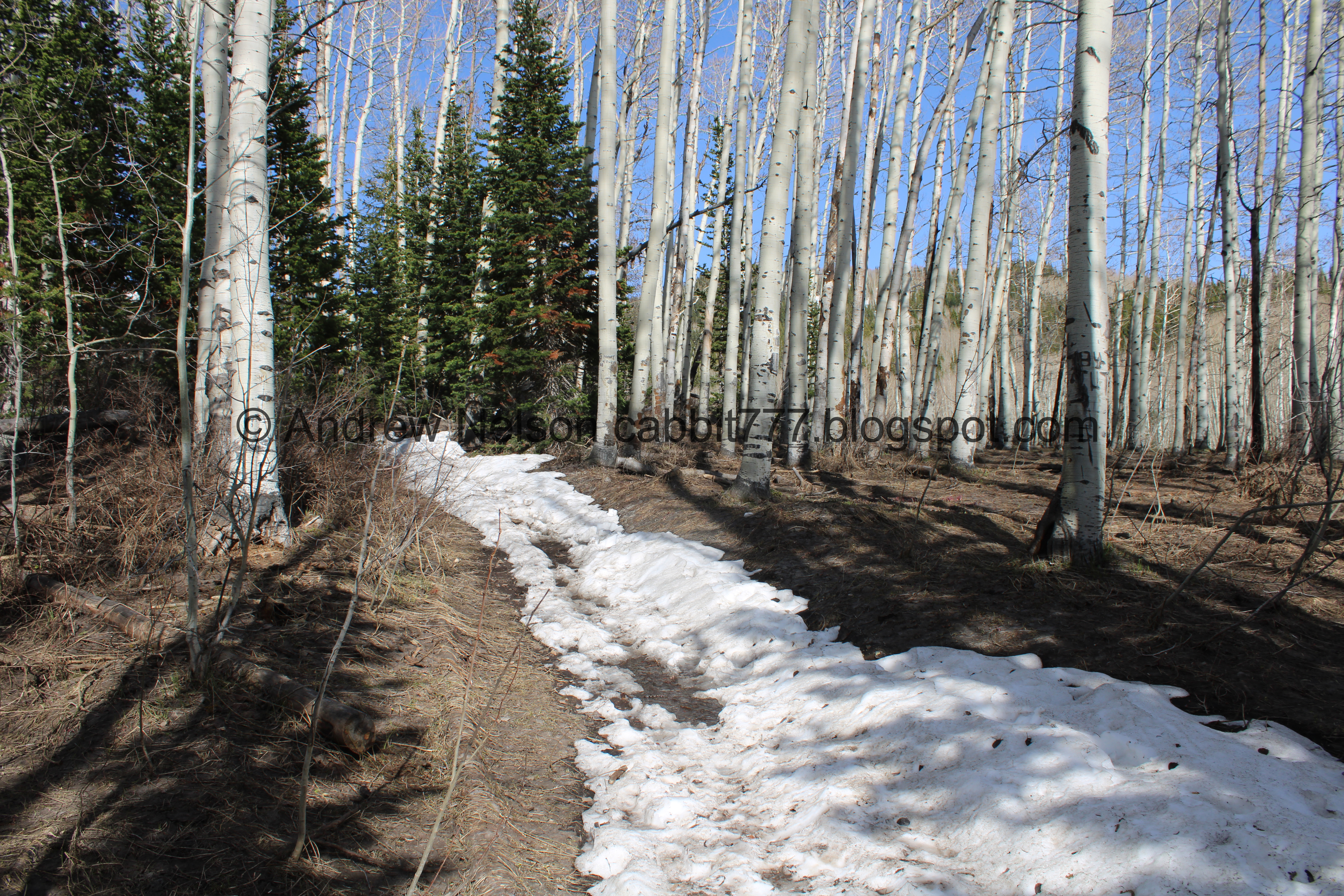
Heading up through the aspens.

More aspens.

Trail split. Right is the east fork, which is slightly longer, but a little bit easier and prettier (in my opinion). Left is the west fork, slightly shorter, but a little tougher. We went left today.

The first of 2 bridges.

The creek is flowing nicely.

Not a bad little waterfall.

Silver Fork on the other side of the canyon.

More aspens.

The first switchback connects to this old dirt road. You want to hang a right, and keep heading uphill.
This area was almost developed into a neighborhood, which explains the Willow Heights name. Luckily SLC saved it.

More forest.

Looking across the canyon.

More aspens.

The creek again.

At the second switchback.

This switchback is a bit rough. Rocky and up!

Looking down canyon.

Looking across towards Silver Fork again.

Up canyon, towards Brighton.

The third switchback.

Here you get a break in the climb for a little bit.

I love this cone shaped peaks up here.

Silver Fork again.

A potgut squirrel prariedoggin.

More aspens.

Here we find another spot that the trail has been rerouted. Stay right.

Oh boy, a patch of snow across the trail. Honestly there was just a little more snow than I wanted, but much less than I feared so it’s a win.

The fourth switchback.

Not much further up is the fifth switchback, which is at the top of the old rerouted trail.

More aspens.

This switchback is probably the worst of it. Quite a bit of up!

Don’t forget to look up once in a while.

More snow on the trail.

The aspens on that hill are greening up nicely.

Nekkid aspens on a small hill.

Again.

Continuing along.

More aspens.

Another patch of snow across the trail. This one has a channel that has been worked down into it.

The small clearing. This means you are getting close!

The creek again.

The upper bridge.

Downstream.

Upstream.
The longest patch of snow we have to hike through… before the lake anyway.

Looking up again.

Not much further we have reached the big clearing. This really means you are close.

Looking across the canyon.

It is pretty easy going across the big clearing.
.jpg)
Panoramic.

Another patch of snow.

Patch of something coming up. I want to say it is the Sulphur flowers we have seen here a little later in the season.

The neat cone shaped peaks.

The itty bitty pond. I remember the first time we came here I was worried this was the lake and was so disappointed for a minute LOL. Just a little further up.

Again. You can also see the east trail coming up here. It looks like there is more snow along that route, which makes me happy we decided to keep to the west fork today.

The view across the canyon again.

The crossroads. Where the east and west forks meet. From here you can go either way around the lake, it is about 3/4 of a mile, but there is a nice beach on the west side of it that I like to go to, so we generally head left here.

Oh boy, quite a bit more snow to contend with.
First view of the lake, through the trees.

There are some downed trees making the trail a little hard to follow.

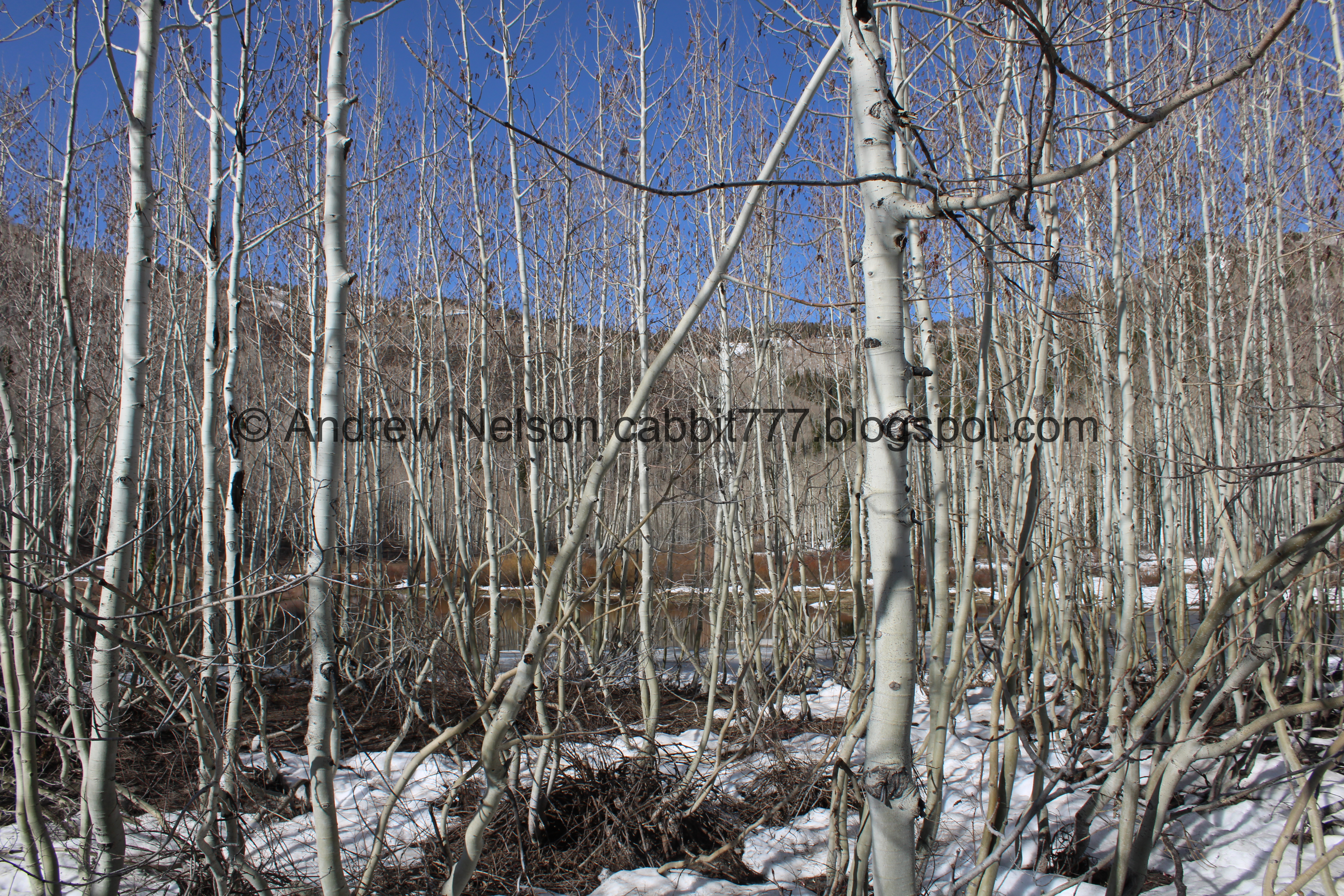
First proper view of the lake. It is mostly melted, but there is a little bit of ice on the edges.
.jpg)
Panoramic.

Interesting tree wells. I imagine this is caused by the wind whipping the trees about.
Well, I did not get a shot of the additional tree damage that blocked the original path, but we followed some footprints in the snow down to an alternate trail.

Which lead us to an alternate crossing.

Alright, I can do this.
I am not a fan of log bridges, and you’d think I was crossing a raging river the way I inched myself across it… but I made it!

Safely on the other side.

Well hello there cute potgut friend! He came out of nowhere and was suddenly by my feet.

Willow Lake again. Sadly, no moose friends today.

Again.
Down to the shore.
.jpg)
Panoramic.

The lake again.
Well, it looks awfully snowy back there, but we decided to go around the back loop like we usually do. Looking back, this was probably not the best choice today.

Cone shaped peak.

The lake again.
.jpg)
Another panoramic.

Cone shaped peaks again.

The back end of the lake.

More snow on the trail.

The back side of the lake and the peaks across the canyon.

I think this is a beaver lodge.

The willows that give the lake it’s name.

One of the streams feeding the lake.

Not a usual hitch hiker on my hiking pole this time of year.

Pretty purple buds coming up.

Stream crossing. There were enough stones to make it safely across without getting wet.

It almost looks like small travertine terraces, like what you would find at Mammoth Hot Springs in Yellowstone.

Then, into the forest again.


More aspens.

The lake is back there behind the trees.

We were mostly following footprints in the snow. When there were a few patches without snow, I found that generally the footsteps were staying pretty darn close to the main trail most of the time. A couple spots where we were a bit off but they did pretty good.

Another creek crossing. I was really just hoping the snow shelf held for us. Luckily it did.

I didn’t take as many pictures back here as I normally do. I was more focused on navigating the snow and trying not the post hole. I did post hole a couple times, but luckily never too deep.

The creek again.

Continuing along.

More forest.

I wonder why there is this random patch of no snow surrounded by pretty deep snow. Weird.

Side canyon.

Tree wells.

Cone shaped peaks with the lake below.

The lake.

More tree wells. But I think these are caused by wind moving the aspens around versus the evergreens vegetation preventing snow buildup underneath.

Back to the big clearing. Phew!

Again. Yes, there is someone in the little pond. Not only should they not be doing that due to watershed restrictions, but they are absolutely crazy! That has got to be freezing.
.jpg)
Panoramic.

Back to the crossroads.

The little pond… with the people edited out.

View across the canyon.
.jpg)
Another panoramic.

Back into the forest.

The creek again.

The upper bridge again.

The other side of the creek.

Aspens on a hill.

Looking up again.

View down canyon.

The first switchback at the top of a rerouted trail.

The second switchback is next to the stream, and under snow.

The melt running down the trail.

Down canyon again.

Some of the aspens greening up.

Heading down through the aspens.

Greened up aspens.

Silver Fork again.

The mountains above Brighton again.

Some aspen leaves.

The third switchback.

Aspens.

The fourth switchback, second one near the creek. After this you want to keep your eyes open for the trail split on the left.

The creek again.


More aspens.

As I mentioned you want to keep your eyes open for this little sign pointing out the trail split. If you miss it, it’s not the end of the world, you will just end up in a neighborhood, and then have to leg it back up Big Cottonwood Canyon Road back to the trailhead. It will add about 6/10ths of a mile.

Thick aspens.

Back down to the lower bridge.

Downstream.

Upstream.

Again.

Right after the lower bridge is the final trail split. You want to go right to get back to the trailhead. Left will take you back up via the east fork.

More aspens.

I noticed a faint deer trail that appeared to lead to some nice cascades. So, we decided to check it out. It was kind of pretty.

More aspens.

Trail counter. This just counts how many people pass by. They use this data to justify trail improvements, such as what we have recently seen at Alien Tower.

More aspens.

Back to the fallen tree across the trail.

Back to the trailhead.

View up canyon.

Silver Fork again.

More flowers starting to come up.

Fun patch of trees.


Heading back down the canyon (PSP).

The mouth of the canyon (PSP).

Downtown from below the canyon (PSP).
Well, that was super fun! I was stoked to get up into the canyons again after a long winter. It wasn’t very cold, in fact I took my hoodie off for a while. It also wasn’t super busy either, I guess a lot of people left town for the holiday. Going with 9 out of 10 squirrels today.
As for difficulty, it is quite the climb! So I am going to bump this up to a DR4 even though it isn’t terribly long.
Dogs are not allowed due to watershed restrictions. Be sure to leave Fido at home for this one.
No comments:
Post a Comment