.jpg)
Red Rock is a climbing crag located in Draper. The loop we did features a neat red rock climbing crag, a nice mixed forest, wildflowers, and amazing views of the valley. After studying the map a bit, we determined we could make a loop with the Red Rock Trail, connecting to the Lexi Ethan Trail, and returning down the Bonneville Shoreline Trail (BST). I have been meaning to check it out for a little while, and it just hasn’t happened until now. We found our adventure along the nearby Little Valley Loop to be a little short, so we decided to add this on today.

Quick Details:
Length: It is a short 9/10ths of a mile loop with a short spur, with shorter or longer options.
Trail Type: Loop with spur, out and back or longer loop options.
Difficulty: DR3. There were some short climbs, but for the most part it was gentle.
Elevation Gain: About 200 feet.
Restroom: No. There are some at the nearby Coyote Hollow Trailhead.
Dogs? Yes, leashed. Please clean up after your furry friends.
Other Info:
To Get Here:
From I15 Take exit 288, or 14600 S in Draper. Go left. Go almost a mile and turn right on Traverse Ridge Dr. After about 1.4 miles turn left on Mike Weir Dr. Another .4 miles you will see a dirt parking lot on the right.
The trail is located on the south east end of the parking lot, next to the kiosks.

Red Rock as we approach along Mike Weir Drive (Passenger Seat Photography (PSP)).
The Trail:


Trailhead kiosks.
This trailhead also acts as the top trailhead for Spring Hollow. Which is also pretty nice.

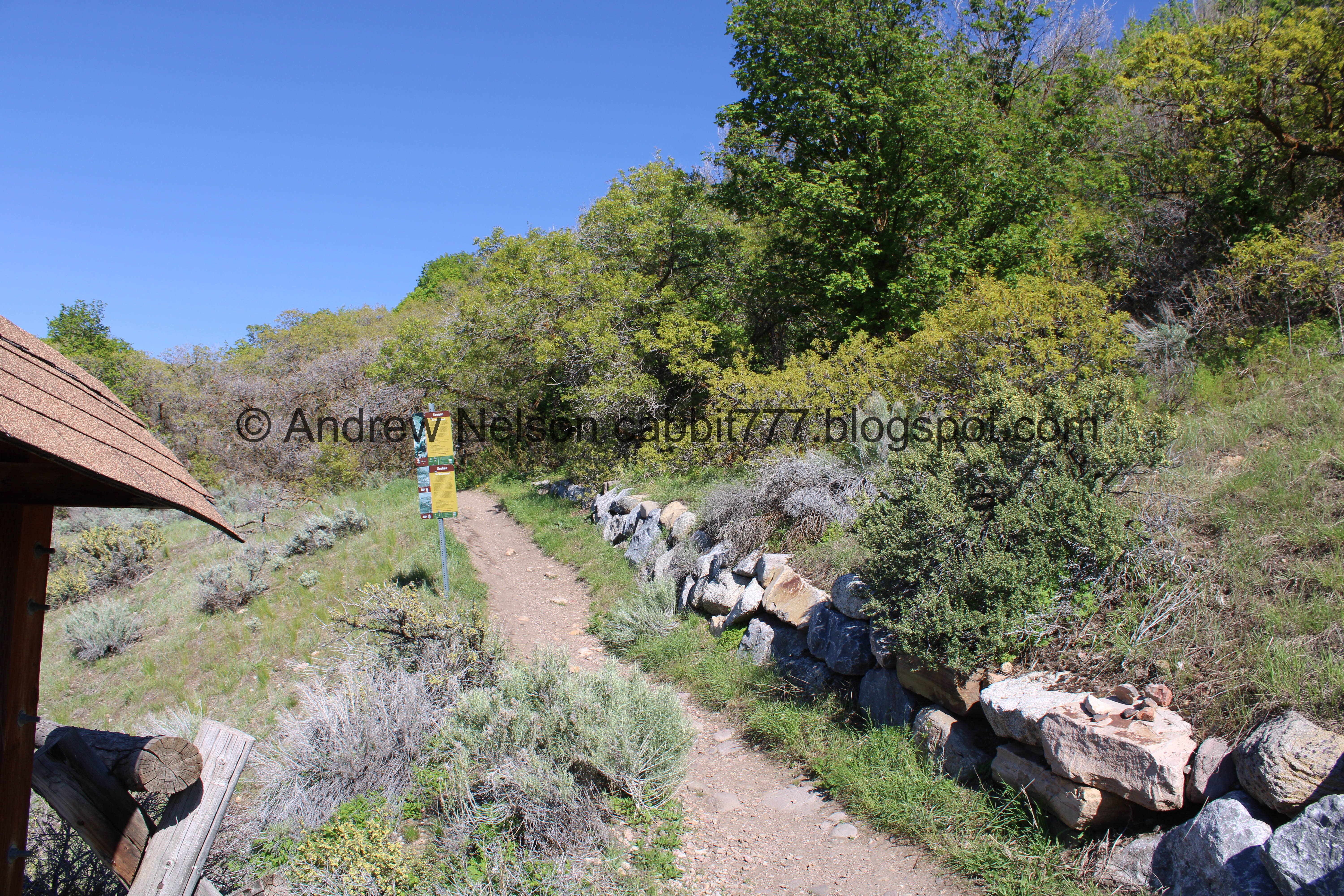
Onto the hike!

A couple spots have some fencing. I am not sure if it is to prevent cutting switchbacks, or to help with erosion or what.

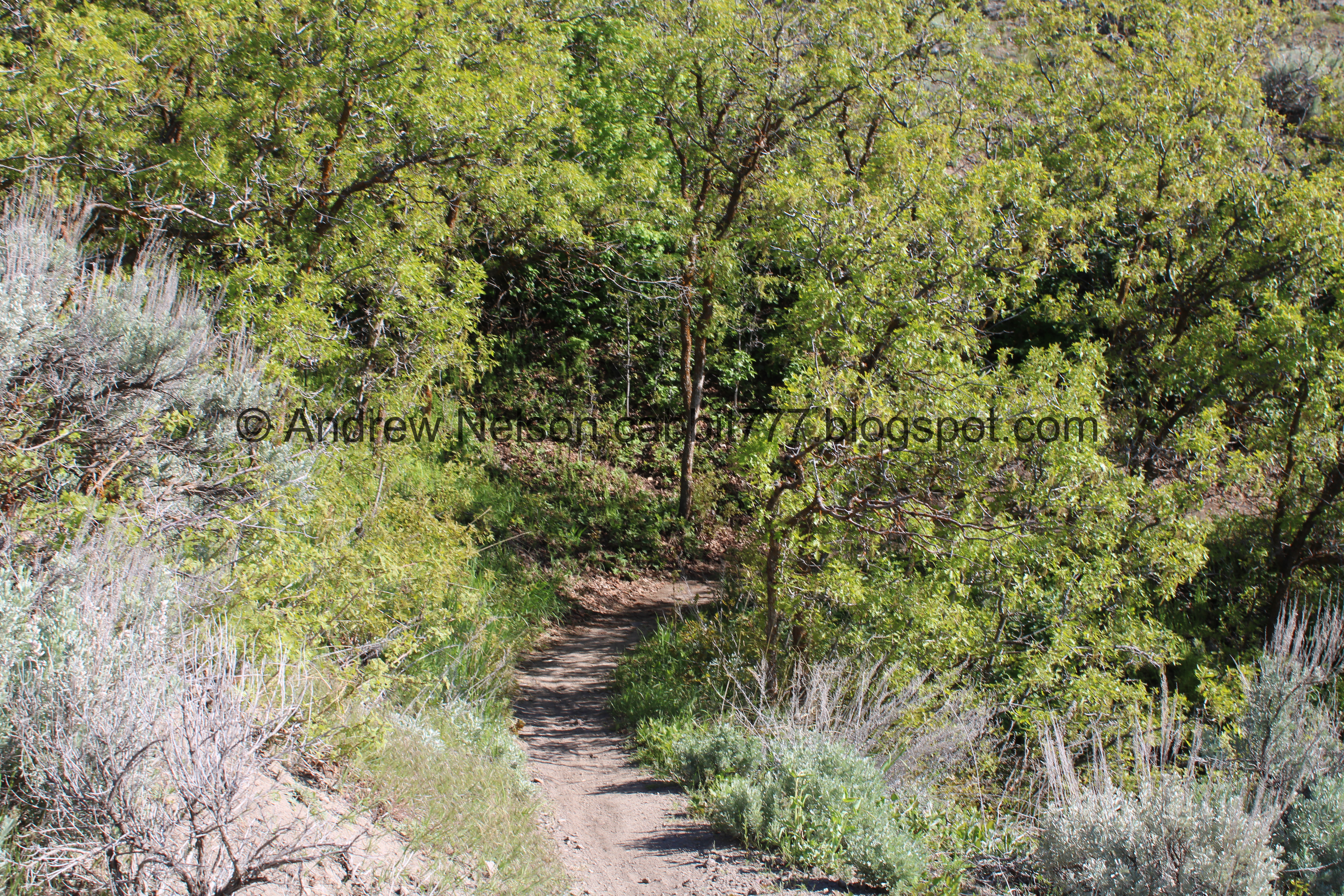
Pretty green forest.

Not much further we reached the BST and the first trail split. We want to go left for the most direct route to Red Rock. We ended up coming down from the right.

Not much further up, we reach the next split, here we want to go right.

Now we are on the Red Rock Foot Path. There are definitely plenty of signs pointing your way.

I struggled with my fear of heights quite a bit on this trail. I don’t like thin trails along steep slopes. However, I managed okay, and did not freak out too much.

Lovely forest.

Another fence. I think I would have liked some more fencing haha.

I always think of these as wild snapdragons, and they probably are related, but they are some type of pea.

This fence has a sign saying closed for revegetation, which kind of confirms they are there to prevent people from cutting across the switchbacks.

The short, but rough spur up to Red Rock.

Red Rock peeking up from behind the trees.

They have added some steps to make the climb a little easier.

Little bits of Red Rock again.

This part was a little rough with my fear of heights.

Left for the ascending area, right for the top area. We decided to go left.

The final push is a little rocky.

Red Rock. Woo! We made it!
Who needs to travel all the way to Southern Utah to see red rocks? But no, seriously, go to Southern Utah and see more and better red rocks!

The other side.

There was a small group of climbers up on it today.

We decided to see how bad the top would be.

Yeah… that is a big nope from me. I don’t want to boulder scramble today.

The red rocks again.

The climbing area again.

Heading back down.

The valley below.

The little stairs again.

Back on the Red Rock Foot Path Trail. Yellow and pink flowers.

Old secured logs. I am totally guessing here, but I assume this might have been the old route.

Yeah, still kind of struggling with this thin trail.
.jpg)
Panoramic view of the valley.

Turkey vulture.

It is totally weird, but also really cool to be on level with it! I usually see these guys from below.

More peas.

Some larkspur.

More forest.

We reached the Lexie Ethan Trail. You can go left for a longer loop option, but right is the shorter option.
This trail was named after a pair of teens that tragically died in a car accident. They were members of the Corner Canyon Mountain Bike Team.

The valley below again. You can see The Claw from here.

Itty bitty white flowers.

Deer tracks.

Oof. I really do not like thin trails on high steep slopes, but I am doing it.
.jpg)
Panoramic of the valley again.

Mullein.

Parasailer.
Down into some forest.

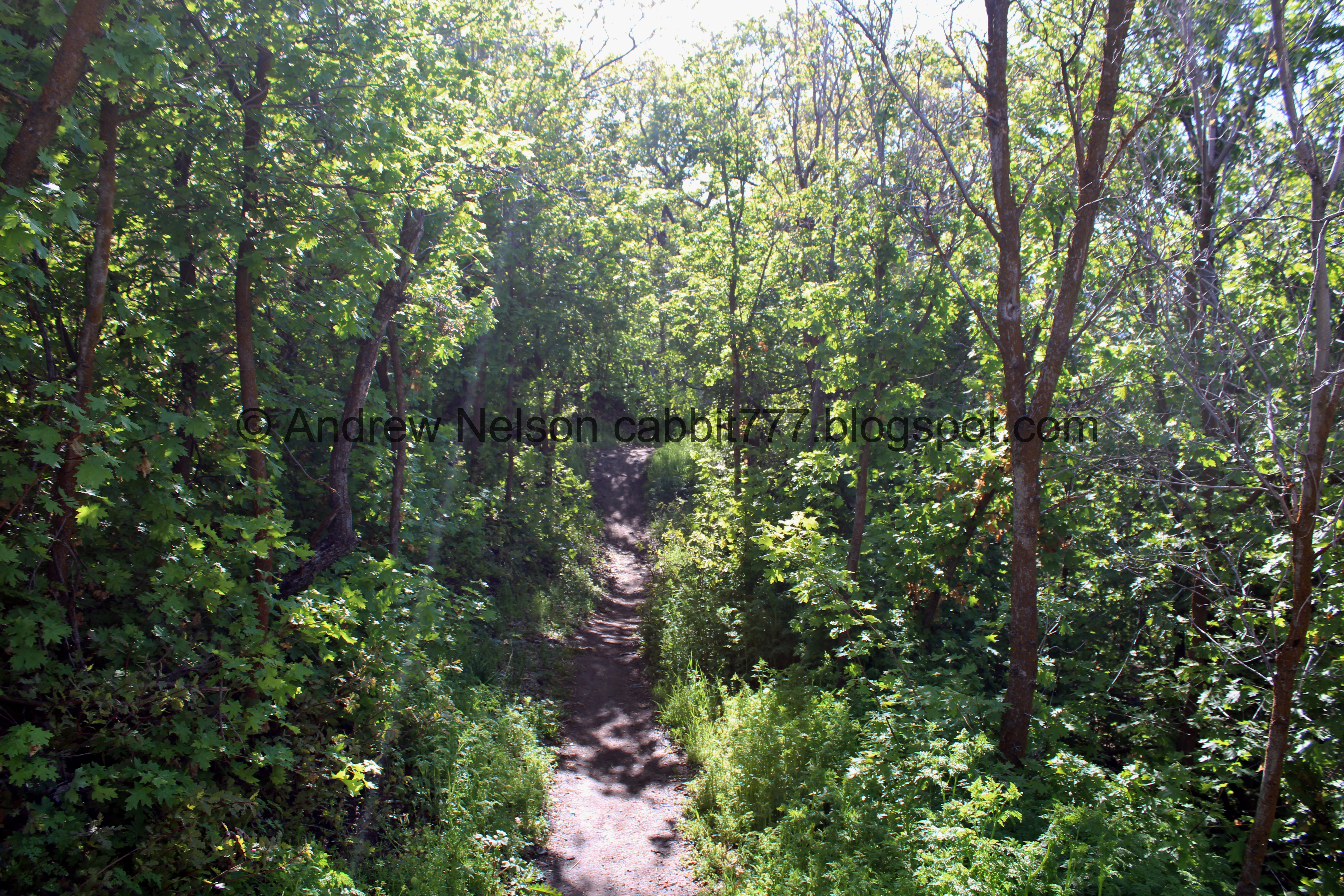
Well I like this part!

Looking up.

Phlox.

Oregon grape.

Red Rock again.

More forest.

Maples.

Oaks.

The valley again.

Before long we made it to the BST. Hang a right here to get back to the trailhead.


Red Rock again. I was hoping the spur trail up to it would allow us to see the spires a little closer but it did not. It looks like the Lexie Ethan trial might go right above it though, so I might have to come back and check that out sometime. Since we are rapidly warming up, that might have to wait until fall though as this time of year we start working our way up.

Big patch of phlox.

Thin trail, which seems to keep going up. How are we still going up?
.jpg)
Another valley view panoramic.

Thin trail above Mike Weir Drive. My brother clued me in to the fact that Mike Weir is a pro golfer that lives in Sandy.

More peas.

More deer tracks.

More forest.


Some larkspur.

Passing by a smaller red rock, which I imagine is part of the main rock, just lower down. I wish I had looked up to confirm. Hell, I wish I had looked up more often in general. But, like I said I was kind of struggling with the thin trail on the steep slope, and was just focusing on the trail itself for the most part.

The valley below. You can see The Claw here too.
.jpg)
Another panoramic.

Another patch of forest.

Super green.

Back to the trail split we first encountered. Left will get us back to the parking lot. Right will stay along the BST going north.

Last little bit of down towards the parking lot.

Mint of some sort.

Looking back up at Red Rock.

With a few other rock formations.

Looking towards Spring Hollow on the other side of the road.

A hang glider above some formations.
Well, Red Rock itself was kind of neat, I wish we could see it better from the tough trail up to it. The additional loop was, alright, but not my favorite since it is super thin and along a steeper slope. The wildflowers are coming up, which is nice, and aside from Red Rock itself, we didn’t see any people. Going with 7 out of 10 squirrels today.
As for difficulty, there are some short steeper climbs, but otherwise the loop is pretty easy. DR3.
Dogs are allowed, but must remain leashed at all times. Please clean up after your furry friends.

No comments:
Post a Comment