.jpg)
The Wild Rose Trail is a great trail in North Salt Lake that offers a pretty nice view of the Davis Valley as well as the Salt Lake Valley. This is my go to trail when the inversion is bad, as it is a quick, get up above it option. Unfortunately for what I wanted to see again, but fortunately for all of us, the inversion wasn’t as bad as I thought it was. It’s still a nice, if a little bit tough in spots, trail.

Quick Details:
Length: We did 1.9 Miles out and back, but the trail does continue going up.
Trail Type: Out and back. Looks like there may be a loop option.
Difficulty: DR3. Its a bit of a climb with a couple of short steep sections.
Elevation Gain: We did about 486 ft.
Restroom: Yes, closed winters. However I did notice a porta potty there today.
Dogs? Yes, leashed.
Other Info:
To Get Here:
To get here take US 89 in NSL to Eagle Ridge Dr. Go up the hill about 2 miles and turn right on Eagle Point Dr. Turn left on Sky Crest Ln. and you will find a nice community park. The trailhead is up past the picnic tables.
Take the trail at the back of the park.
The Trail:

Trail map.

Basic map.

There is a lower trailhead, but the main trail head starts at the back of this park.

This is new. I guess they don’t want bikes in the park.

Icy trail. Luckily for the most part there is enough mud tracked in that it wasn’t super slippery. I kept saying if the ice continues we’ll find something else to do. But we made it to my intended destination today so meh,

Looking up canyon.

View down.

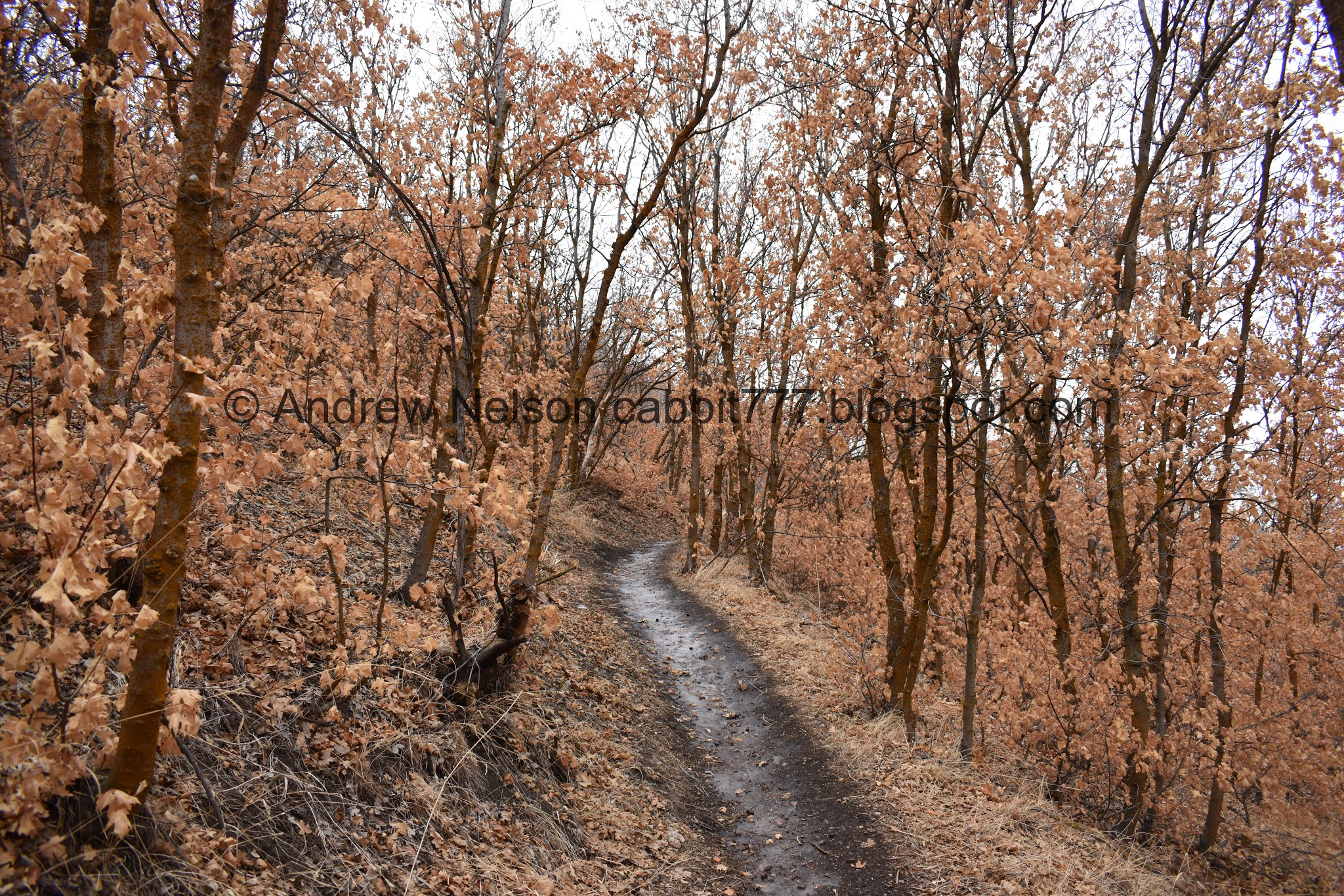
It still blows me away how many leaves are still hanging on. It seems like we are seeing a lot more of this this year. I wonder if its because we haven’t had a whole lot of storms? Maybe tomorrows windstorm will take em down.

Into the scrub oak.

There were a couple muddy spots, but nothing too bad.

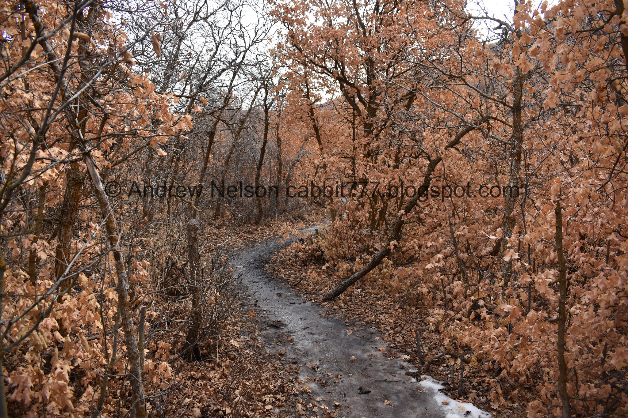

More scrub oak.

Dry creek bed below. I’ve never seen water in it, so its likely just a snowmelt channel.

Before long you will come to a 5 way trail split. Forward will take you to the Chukar Loop. Left will be the longer route to the Wild Rose Loop. Lower Right (from this vantage) is a downhill bike path. You want the upper right path to continue to the lookout.
Now we will be heading up the hillside towards the ridge.

Some of the trails on the other side. And you can just make out some people hiking along the ridge. Most of the people here today were smarter than us and seemed to stay to the much less icy trails on the north end of the park.

Ben Lomond to the north and a faint hint of the inversion.

I told Landis that if this section has a lot of ice we are turning back. There was a lot of ice but we kept going haha. Like I said, there was a lot of mud mixed in so it wasn’t super slick.

View down again.

Closer look at Ben Lomond.

There is a little observatory down there.
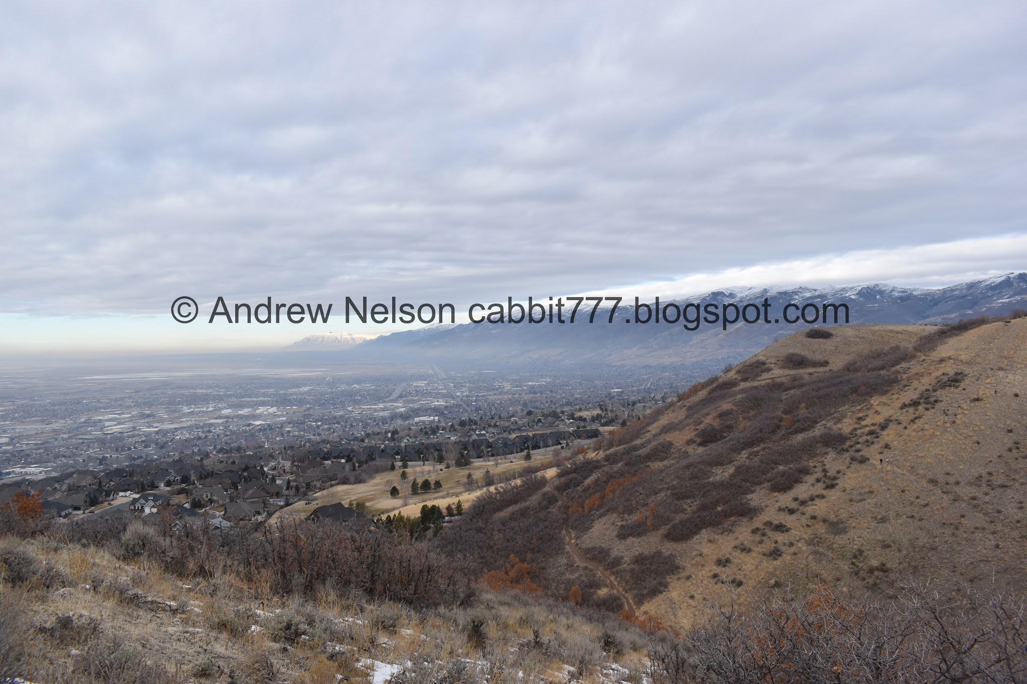
Some inversion. Not as bad as we have seen before, but still there.

The trail switch backed to the east.

At about .65 mile you will come to this bench, which, appears to match the spot on the map as The Viewpoint, but the viewpoint is supposed to be about .9 miles. So. Yea, not sure. Anyway we kept going.

View from the bench.

Heading up the ridge. Now that I am looking a bit more closely at the maps, I think the top of this hill is the Viewpoint.

This is the steepest part. Oi. I don’t think I have ever been thankful for a rocky trail until today. All the rocks popping out of the ice provided ample traction. We would have turned around otherwise.

Near the top I looked back out into the Davis Valley.

Quick panoramic.

Starting to get a view into the Salt Lake Valley.

Antelope Island.

Final push. Oi.

Another panoramic.

For our destination of the day, you can take either split. The right is probably shorter. We took the left route as usual.

Magpie.

Another trail split.

Left follows the ridge higher up. We’ve done this before and it doesn’t appear to ever end! Every time you reach the top, another peak appears haha.

Right heads out to this lower sub peak which was my intended destination today.

Another look at the inversion.

I finally learned what these lines are! These are erosion control contour terraces dug by the Civilian Conservation Corps sometime in the 1930’s. Interesting article with more information here (outside link).

On the sub peak. Looking into Davis County.

Salt Lake County.

Another panoramic.
More of the contour terracing below. In fact you can see it right below our feet. Also, it looks like you could take that trail down to Tunnel Springs Park, or come up to here from there.

More of it.

View down. The view is pretty cool but…

Its kind of even more cool with a thick inversion. Not saying I want the inversion to be this bad again, but it is neat. This is from our 2016 trip up here.

The mild inversion we have today again.

Another panoramic.

A plane taking off.
Well, we got our view, so we decided to head on down.

Fun clouds.

The little sub peak before the steep climb down. And what I now believe to be The Viewpoint.

More inversion.

Heading down the steep slope.

Again, this is the only time I have been thankful for a rocky trail! Neither of us slipped even a little on the way down.

Back down to the bench.

More fun clouds.

Fun lighting on Ben Lomond.

Peak on the other side of the canyon. You can see the Chukar Loop.


Back into the forest.
Oh I learned the term for the process that causes leaves not to fall is Marcescence (outside link). Oak trees are one of the trees that this is a normal process. From what I can tell, there are a few theories as to how this is beneficial. Like I mentioned, I think the lack of storms this year has made it seem to last longer.


Back down to the 5 way split. Of the 4 trails heading west, the middle right one is the one we came up, and the one that will get us safely back down to the trail head. Middle left is a downhill bike path. Far left is where we just came from. Far right will take you along the Wild Rose Loop, and the trail behind me will take you to the Chukar Loop.


Back through the scrub oak.

View down canyon.

Back down to the park.

Fun clouds from the parking lot.

The landslide that happened a few years ago (PSP). Are they building new houses above it???

Antelope Island as we head down Eagle Ridge Dr (PSP).

More fun clouds (PSP).

I love when you can see clear skies under the cloud ceiling through a canyon (PSP).
I do enjoy this trail, but I enjoy it more when we get to see the crazy inversion below it. However, I do like that the inversion is not that bad right now. The park seemed a little busy, but as I said, most users seemed to be taking the trails on the north end of the park. We only ended up passing 2 or 3 people. Which is good, because the lower portion of the trail was a little bit thinner than I remembered. Going with 8 out of 10 squirrels today.

As for difficulty, most of the trail is a gentle climb, but there is a short steeper section. DR3.
Dogs are allowed, however they must remain leashed. Please clean up after your furry friends!

No comments:
Post a Comment