.jpg)
The weather has been kind of unusual this year so with a finally clear weekend I decided I wanted to get up into the Uintas at least one more time before they closed the winter gate. I figured this would be a great choice to do.

Quick Details:
Length: The guide I used said 3.2 miles out and back. We reached the lake at 1.4 miles which would be 2.8 out and back.
Trail Type: Out and back.
Difficulty: DR4. It’s mostly easy but there are a couple steeper, rocky parts.
Elevation Gain: 370 feet
Restroom: There are a few pit toilets at the TH.
Dogs? Yes.
Other Info: Fee Area: $6.00 per vehicle for a 3 day pass. Bring a check or exact change as most of the fee stations are self serve.
Also: This is very high elevation, so be sure to pay attention to signs of elevation sickness.
To Get Here:
From Kamas drive about 25 miles up the Mirror Lake Highway. Turn left following signs for Crystal Lake Trailhead. Take the 2nd right again following the signs for Crystal Lake TH. You will pass Washington Lake Campground on the left and the last little bit is dirt road. If there is no parking, there is an overflow lot near the Washington lake Group Campsite. This will add about 6/10’s of a mile to your hike.
Now back to the Crystal Lake Trail Head there are 4 major trails that split off from here. Take the one to the left of the kiosk that is labeled: Lakes Country Trail.
The Drive Up:


Some great color coming up Parleys Canyon (Passenger Seat Photography (PSP)).

Jordanelle Reservoir (PSP).

Onto The Mirror Lake Highway (PSP).


Some fantastic color up here as well (PSP).

We stopped at the self service fee station near soapstone. While Landis filled out the envelope I wandered down and took a few photos. Here is the Provo River.


A couple more shots around Soapstone.

Back on the road (PSP).

Lots of pretty yellows (PSP).

Some orange too (PSP).

Before long Mount Watson looms ahead (PSP).
I used to think this was Bald Mountain but have learned better after hiking in the area. This is extra fun today as we will be hiking right up to it today.

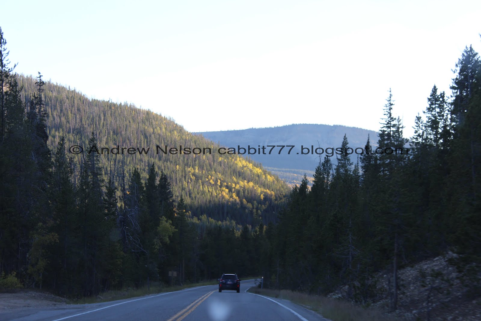
The turn off for the Crystal Lake Trailhead (PSP).

The end of the short dirt road near the Crystal Lake Trailhead (PSP)
The Trail:

Trail map.

Just left of the kiosk is the trail you want. Notice the sign says: lakes Country Trail.

The new tree growths we saw last year are growing up. this one is lifting it’s protective cone.

Snow! Honestly, I was a little worried there would be quite a bit more of it than we saw. I am happy that was not the case today.

Mount Watson looms ahead.

Squirrel!

One of the smaller, unnamed ponds.

Mount Watson again.

Follow the signs towards Cliff Lake. This first one is a bit skiwampus, but just stay on the main trail. I think there used to be an older trail here and it was redirected.

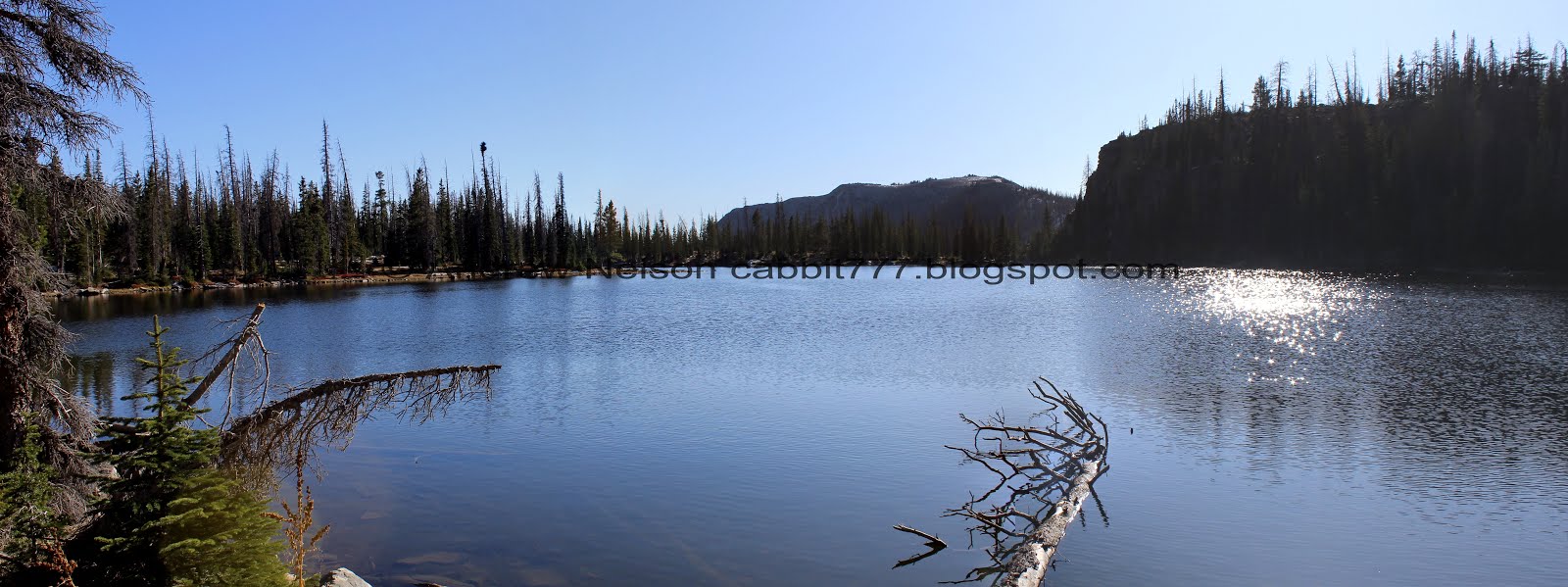
Crystal Lake Below. There are a couple trails that lead down to it as we discovered last time we were up here. There is also a very short 3/10’s of a mile trail from the Trailhead out to it. We have yet to do that one.

Rocky section. Also, watch out for horse poop.

Crystal Lake again.

Take the turn off for Cliff Lake to the right here. I wanna say it is about 3/10’s of a mile.
If you start getting pass the end of Crystal Lake, then you might have missed the turn off. However, this is the 2nd time we have been up here and we didn’t miss it either time. This sign seems pretty sturdy.

Shortly after the turn off you will see one of the standard Uinta boardwalks.

Pretty forest.

Another little pond.


More forest.

Short segment with a lot of dead trees. I wonder what caused that.

When you see the cliff to the right, that is a sign you are almost to Cliff Lake.

Better view of the cliff with Mount Watson above above.

First glimpse of Cliff Lake.

Cliff Lake. This is about 7/10’s of a mile up. You can go around either way, and left might actually be a bit shorter, however, as we learned when we circumnavigated this lake last time, the left side is a bit more work. So we went right.

A proper view of Cliff Lake. I believe that is Notch Mountain in the background.

Panoramic. See that gap in the trees? That is where we will climb up.

Another one of the boardwalks. This one had quite a bit of snow left on it.

Mount Watson and the cliff of Cliff Lake.

Nice clear water, and a little bit of ice on the edge.

The cliff and peak from a little further around the lake.

Another panoramic.

The forest around the lake is very pretty as well.

Some shrubs changing colors.
I just realized on this adventure that I think I make this same mistake every year. I insist on getting one last trip up into the Uintas, and miss the prime fall colors a little lower. At least we say the Uintas looking pretty good.

Another boardwalk. This one could do with being a little longer in both directions as it was a little muddy on both sides of it.


The official lake sign is about halfway around it. I suspect possibly where the old trail came up.

More forest.

Mount Watson again.

Nearing the far end of the lake.

Little spring leaking into the lake.
Another panoramic.

Another look into the clear water.


Now we just have to climb this. Actually, it looks worse than it really was.

Cliff above.

The lake below.

More of the cliff.

The little pass we are climbing towards.

It’s mostly hidden but there is a stream flowing under there.

At the top of the pass you are immediately greeted with a view of the next lake.

Petit Lake and Watson Peak above.

Thin layer of ice on it.

From the side.

Panoramic.

From the far end.

Back into the forest.

The creek below the boulders.

The trail pretty much follows the creek from Cliff Lake to the 2nd little lake, Linear Lake. Which is helpful because there were a couple spots I wasn’t sure which way to go.

Super rocky section. This is one of the spots I wasn’t sure, but it is to the left here, more uphill, following the stream.

The stream again.

Linear Lake is mostly hidden by the trees, but it’s back there.

More forest.

More of the rocky climbs.

A short break, and then back to climbing.

Final push.

Still enjoying the forest.

Watson Lake! At first glance it seems a little… underwhelming. But this is just a weird front arm. Keep going. Trust me.

A little bit of ice on this one too.

Mount Watson looks quite different from this angle.

Some nice reflection.

The mountain again. You can see the small channel between the main lake and the smaller arm there to the left. Kind of like Lake Washington and Tail Lake (except tail lake got a separate name).

A nice helpful sign. In case you missed the giant lake to your left here haha. Actually it does point to a trail down to it.

Watson Lake proper, nestled below Mount Watson. Super pretty!

Panoramic.

The lake sign is in a kind of weird spot.
The lake again.

Nice clear water.

We found a nice log to rest on and catch our breaths while enjoying the view.

The forest behind us. I am sure that if we decided to just tromp through that direction, eventually we would be met with a view of Wall Lake. Not something I would actually consider, but the thought occurred to me.

Another panoramic.

The water is so clear we can see the fish swimming around.

Another angle.
We decided not to walk around this lake today, and also decided against pushing on to the next lake, Clyde Lake, so we started heading back. I am glad we did as towards the very end of the hike it started to get a little colder, so I am glad we didn’t go much further.

The smaller arm.

The thin ice.

Back into the woods.

Linear Lake through the trees.

More snow.

Linear Lake again. I didn’t notice a trail that went out to it, so we didn’t ever really get a great view of it, but meh.

I did decided to wander out to this outcropping to see if there was a view.

Woohoo! That’ not a bad view. I am pretty sure that is Petit Lake below.

The forest just goes on forever.

Wow, this is a cool view too. Lets see, Notch Mountain, Hayden Peak (which is way off in the distance, but peaking through the gap there) Reids Peak, Bad Mountain, and Murdock Mountain.

Linear Lake and Mount Watson.

Closer look of Notch Mountain, Hayden Peak, Reids Peak and Bald Mountain.

Back to following the creek down.

More forest.

Petit Lake again.

I love how trees reflected in the lake look like sound waves. I’ve said it before, but I will say it again, I wonder what it might sound like if it could be converted to a wave file.

Little muddy through here.

Nice view with Mount Watson.

Nice reflection.

Just to the left of where the trail goes through the pass you can walk out to the edge of the cliff and get a great view of Cliff Lake below.

Panoramic.

Heading down the little pass.

Another view of Cliff Lake.

I was thinking this seems like a good environment for a pika, and then one popped up! Hello cute little fellow! I didn’t bother trying to get the telephoto lens as I knew he’d be gone by the time I changed lenses. So, not the best shot. I am also convinced the pikas up here in the Uintas are smaller than the ones we find in the Cottonwood Canyons near Salt Lake. I got some great shots of them on the Twin Lakes Trail last year.

Pikas like boulder fields like this. So if you are ever high elevation near a boulder field and if you hear high pitched chirps, it’s likely a pika.

Back down to Cliff Lake. We considered going around the other side, but as I mentioned it is a little more difficult than the side of the main trail so we went that way again.

Another panoramic.

Neat bent tree. We recently learned that it is thought that heavy snow bent the tree over and possibly broke off the leader branch, so a secondary branch became the leader branch. We learned this on the Limber Pine Nature Trail near Bear Lake.

More of the bright red shrubs.

The trail next to Cliff Lake and some snow.

The lake again.

Back to the longer boardwalk.

Cliff Lake’s cliff.

Some nice reflection.

Notch Mountain behind the lake.

One last panoramic.


Back into the thick forest.

A fallen tree decomposing.

Neat lightning shaped tree. I imagine the same forces I mentioned earlier probably shaped it. But it is still neat.

Neat split tree.

The first little boardwalk again.

Back to the main trail.

Crystal Lake below.

Just a little ways to go, but still enjoying the beautiful forest.

Crystal Lake again.

Little pond with nice reflection.

Back to the parking lot.

Heading back down the short unpaved road (PSP).

Down the paved road (PSP).

Reids Peak and Bald Mountain (PSP).
Heading back down the Mirror Lake Highway (PSP).

Some nice oranges (PSP).


Yellow aspens on the hills (PSP).

If you are heading down the highway near dusk, keep a vigilant eye out for deer (PSP).

More pretty color (PSP).
We actually managed to catch the burger joint in Kamas while it was open again. I was so excited to get to enjoy the amazing shoe string fries and burgers again because they were so good last time. Sadly, they either changed ownership, or changed their menu. They no longer have the shoe string fries, and the burgers were not as big as I remember, while still being just as expensive as they used to be. I remember we had so much food leftover last time that we decided to only order one meal this time. They were still good, but not nearly as good as I remember, and one meal was not enough for both of us. Also, I sorely miss those shoestring fries. Sigh. Like I said, they are still good, and worth a stop if you are hungry.

Mountain silhouettes near Park City (PSP).

Heading down Parleys Canyon (PSP).

Probably the best Passenger Seat Photography sunset I have ever caught (PSP).
This was a great trail! I am kind of kicking myself for not doing it the last time we decided to go around Cliff Lake, but eh. I am still slowly exploring all of the trails that the Uinta Mountains have to offer. We passed quite a few people on the way up, but had the lake to ourselves. We saw a little bit of wildlife as well, which always makes the adventure more exciting. Going with 10 out of 10 squirrels.
As for difficulty, most of the trail is pretty easy going, but thee are a couple of rocky climbs and some route finding due to the rocky trails. DR4.
Dogs are allowed. Please clean up after your furry friends.

No comments:
Post a Comment