.jpg)
The Willow Creek system, located near Snowbasin, has three forks: The main Wheeler Creek, Middle Fork, and East Fork. We’ve done most of the main: Wheeler Creek, and most of the East Fork, so today we checked out the Middle Fork. It was a lovely walk through the woods, with diminishing wildflowers. Not a whole lot to it. But, we had a good wildlife day so it was still a win. With all the smoke blowing in from the Pacific North West, I wanted to do something that was a little easier, so we didn’t huff and puff too much. This was pretty good for that.

Quick Details:
Length: Just the middle fork out and back would be 3.6. We ended up doing 3 out and back (turning around at 1.5). I also found making a loop with the east fork is 6.2 miles.
Trail Type: Out and back with loop options.
Difficulty: DR3. It’s a steady climb back up, but not too bad.
Elevation Gain: About 566 Ft. we did about 520.
Restroom: No. I’m sure there are some up at Snowbasin, otherwise you’ll have to find a gas station.
Dogs? Yes, not sure on the leash requirement though.
Other Info: This trail starts at the top, and you will return uphill. This can be a challenge if you don't know your limits yet, but its not a terrible climb back up.
To Get Here:
Head up Weber Canyon. Take exit 92 for UT167. Go under the overpass and turn right. Follow the signs for snow basin with a left to stay on 167. Turn left on UT226. About 1.3 miles the pull out will be on the right. The TH is at the south end of the parking lot (or if you lost your directional orientation from all the winding roads, to the right as facing the TH sign).

The smoke is so thick you can’t make out the mountains (Passenger Seat Photography (PSP)).

Heading up Weber Canyon (PSP).

Nearing Snowbasin (PSP).
The Trail:

View from the trailhead.

It’s called the Green Pond Trailhead. You are definitely in the right place. The Green Pond Trail is behind you and across the road. The trail you want is to the right at the south end of the parking lot.

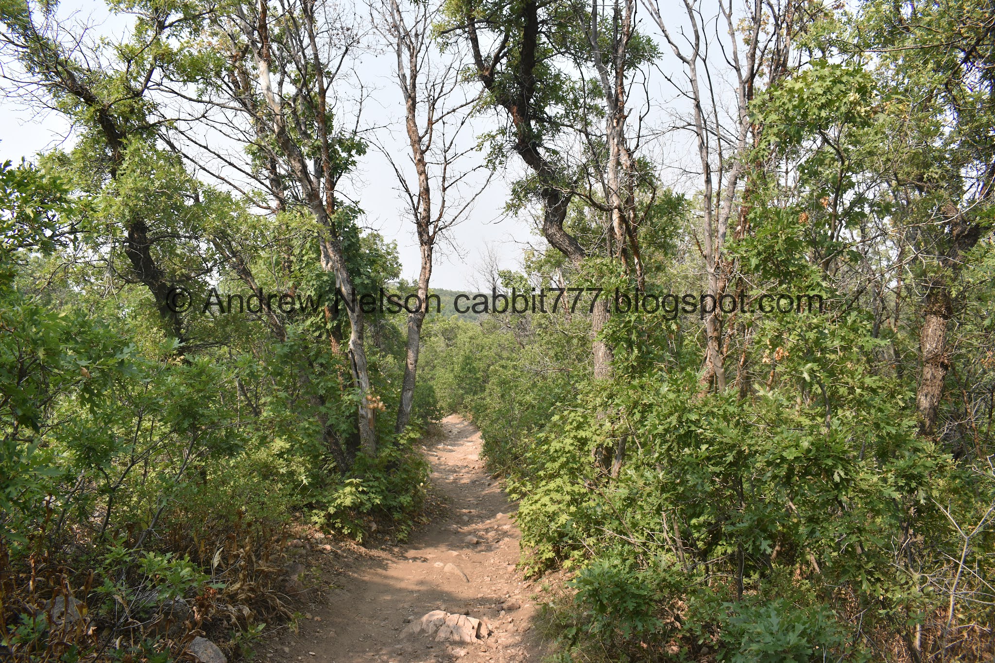
Lovely forest.

First little bridge.

Some daisies still hanging on.

Not sure what this one is.

Lovely forest.

At about 3/10th of a mile you come to the trail split. Right will take you to the East Fork. You want to hang a left here for the Middle Fork.

The sign is oriented for people heading up.

Tiny little middle bridge.

Lovely forest.

Lots of dried up foliage.

More forest.

Eventually we came to this long clearing lined with aspens.

Clearing.

More aspens.

We are getting an early display of the fall colors. I suspect the fall color will be early, and brief this year. I might be wrong, but that is my suspicion.

More aspens.

More daisies hanging on.

View down. I’m pretty sure that is Ice Box Canyon.

Geranium leaves starting to turn.

More forest.


Tree Stars!!!! Sorry, Land Before Time reference. These are actually Thimbleberries.

Lovely little daisy.

Adorable tiny butterfly.

I actually ended up seeing a bunch of these cute little guys. I am having trouble identifying it though. I am leaning towards a woodland skipper, but not 100% sure. But it does seem right.

Paintbrush.

Another little bench and the 3rd bridge.

More aspens.

Seed pods.

Another taste of fall.

The hill on the other side.

Whoa!!! Hello there cute lady.

Ooh! She has a calf too. Yay.

It was hard to get some decent shots through the foliage, but I didn’t dare get any closer than we were. Note; These images were cropped so it looks like we were closer than we actually were. However, I do note, she definitely was aware of us. She never did lower her ears or raised her hackles, but I still decided to put a little more distance between us.

So majestic. We went further down the trail to provide more space.


Eventually I decided to put the telephoto lens on. Here is the baby.. er probably teenager at this point.


Both of them.

Then they continued on their way. I suspect that they might be heading towards Green Pond. As much as I love moose, and taking pictures of them, I certainly did not want her to feel like I was chasing after her, so I let her go. Maybe we’ll get another sighting on the way back up.

The hillside.

These trails were built for the mountain bikers, which is evident in quite a few places.

Well, what do we have here?


Looks like a grouse, actually quite a few of them.

Forest.

Some lupine that is starting to die off.


Through the aspens.

Before we left, I could not find the mileage of this trail, only the full loop with East Fork. So, with the smoky skies we thought 1.5 miles was a good turn around point. When I got home and found the mileage I kind of wanted to kick myself. It was only another 3/10ths of a mile to the end. Of course, on 2nd thought that would have been just that much longer breathing the smoke. So, eh.

I think this might be tall Oregon grape.

Back through the aspens.

Thistle.

We rounded out the day with a wild turkey sighting.


Usually when we see one, there are bound to be others.


Making their way up the hillside.


Eventually I pulled out the telephoto lens. I am always worried I will miss a good shot in the time it takes me to switch lenses so sometimes I wait a little longer than I should.

Now that they are in the taller foliage they feel safe enough to stop haha (hint: top left). But really they cruise their butts off when they are out in the open.

Geranium leaves.

I believe these are common snowberries.


Messy forest.

Back up to the lowest bridge.

The ants like this flower.


More forest.


Back to the aspens.

The aspen dotted clearing.

More forest.

Okay, this is a little gross, but I see people asking why it is socially acceptable for horses to poop on a trail, but not dogs. This is why. Hoses are herbivores, their poop breaks down fairly quickly. Where dogs, being more carnivore, their poop takes a lot longer to break down. So, just because you sometimes see horse poop on a trail does not mean it’s okay to leave dog poop on a trail.

More forest.

Another little butterfly.

Back to the trail split. Right will get you back to the trailhead.

A dried out taper tip onion.

Forest.

Back to the upper bridge.

Another little butterfly.

Thistle.

For what we did today I think the last quarter mile or so is the steepest part, and it wasn’t even that bad.
The view.

In my experience when the roadside sunflowers start showing up, it is the beginning of the end of wildflower season.


The mountains above Snowbasin.

Heading down Weber Canyon (PSP).

The new overpasses along HW89 are coming along nicely (PSP). Eventually it will be a full on freeway without any traffic lights at all through here, between Farmington and Weber Canyon.
Well, this was a nice stroll through the woods, but there really wasn’t much to it. However, because of that, not a lot of people use this trail, so we had a good wildlife day, which really made the trail for me. I might come back and check it out during the fall colors sometime. I think it would be a good trail for that. 8 out of 10 squirrels. Bumped up a notch due to the wildlife.
As for difficulty, its a pretty mild climb back up. Again, it starts at the top and the return trip is uphill. Which can be a challenge if you don’t know your abilities yet. Still going with a DR3.
Dogs are allowed, however I am not 100% sure if a leash is required or not.

No comments:
Post a Comment