.jpg)
Willow Heights is a fantastic hike in Big Cottonwood Canyon. It features a nice lake, wildflowers, a good chance of wildlife, and a lovely stroll through an aspen forest. The trail was recently rerouted and I can say the reroute, while a little bit longer, is definitely nicer on the knees! We love this trail and do it fairly often, but this is our first time on the rerouted trail.

Quick Details:
Length: The newish west route is about 9/10’s of a mile to the Junction just before the lake. The new east route is now just over a mile. It is an additional 8/10’s of a mile to go around the lake. With a little wandering (not going all the way around) at the lake we did 2.3 miles total today.
Trail Type: Loop, figure 8, or out and back.
Difficulty: DR3. Its a good climb, but it’s not terrible.
Elevation Gain: About 600 ft.
Restroom: No. There is one at the Nordic Center just a little further up the canyon.
Dogs? No. Big Cottonwood Canyon is watershed.
To Get Here:
Head up Big Cottonwood Canyon. Past the Silver Fork Lodge. About halfway between mile marker 13 and 14 there will be a boulder on the left (north) side of the road. If you reach Solitude you went too far, but don’t worry. the canyon ends at a loop that will easily turn you around.

Big Cottonwood Creek looking a little pathetic for this time of year (Passenger Seat Photography (PSP)).

Heading up canyon (PSP). I hope we don’t get rained on.
The Trail:

Moody clouds.

Thistle.

The little boulder to commemorate the area.
It was originally slated to be a new development, but SLC was able to preserve it and keep it wild.

Now that the trail reroutes have been completed, they need to update the sign!

I love meandering through this aspen forest.

Geraniums.

The original east trail. They have covered it up pretty good to deter usage. It was a lot steeper and hard on the knees climbing over boulders. It also was probably really prone to erosion, So I can see why they did the reroute.

Pretty forest.

Pretty white butterfly.

Fireweed.

Where the west and new east trail split now. I thought about going up the new trail, but we decided to stick with what we knew and maybe come down that way.

Looking up the east route.

The west route. Oh look, they put in a proper bridge! Its awesome to see trail improvements like this.

More forest.

Eventually the trail reaches this old jeep trail. Hang a right here, left just takes you down to neighborhood. I learned this the hard way one time.

Daisies.

Forest.


Paintbrush.

It’s still a rocky climb, but nothing like the original trail.

Lush forest.

View across canyon towards Silver Fork.

This trail was rerouted a little bit as well. Not nearly as much as the east trail though.

Lots of daisies. The flowers are still up here, but as you can see they are definitely starting to wither. Maybe the rain will help with that.

Paintbrush.

Fireweed.

Where the reroute reconnects to the original trail. I don't really see why this reroute was needed. Maybe there was some erosion issues, but I didn't really see that. Eh, I guess the experts know what they are doing.

More daisies.

Aspens.

Paintbrush.

Not sure what these are.

More daisies.

Not a real good shot of the beak to tell for sure, but I am leaning on this being a pair of hairy woodpeckers. The male on the right was squawking up a storm at the other one.

Oh there is a better beak shot. Definitely hairy woodpeckers. There beaks are almost as long as their heads, where as the very similar looking downy woodpeckers have a tiny beak.

You can see the red spot on the male a little better here.

More forest.

Lupine.

Kind of wilty.

The little mini clearing. This means you are getting close.

Another mini reroute. I think this one was to restore the creek bed.

Another actual bridge, this is also new.
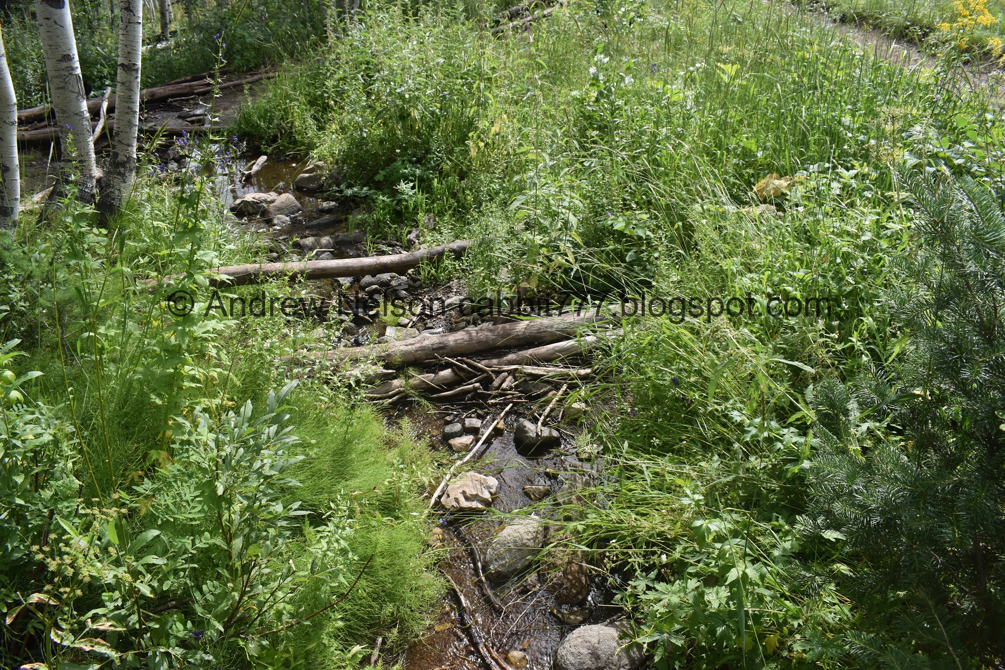
Willow Creek.

Monkshood.

Flowers in the trees.

The big clearing. This means you are really really close. The lake is just above it.

The trail through the clearing.

View across the canyon.

In wetter years there may be a small pond here.

View across the canyon again.
There is a 4 way junction at the top, this is where I measured the mileage too. You can go either way, but I think to the left is the quickest way to get a nice view of the lake. It is only an additional 8/10’s of a mile to go around the lake (which we did not do today).

I love the triangular peaks up here.

First view of the lake.

Panoramic.

Another fireweed.

The creek again. No official bridge here yet though.

The lake. Here on the west side of the lake there is a nice little beach to hang out and enjoy the lake. The rest of the lake is surrounded by some marshes.

Trees and their reflections.

It’s super pretty up here.
Normally I would do the whole loop around the lake since the trail up is pretty short, and it’s only another 8/10ths of a mile. However, it was super, super muggy today, which made the hike super uncomfortable. So we decided to just hang out for a minute before heading down.

Chipmunk!

Squirrel!

Again. It would seem these guys fed as they are not afraid of us at all.

View of the lake again.
Closer.

Well, even if we were up for walking around the lake some rumbling thunder brought our attention to these dark clouds. We decided it would be best to book it down the mountain. I am glad we did. A couple hours later the rain caused a rockslide that closed the canyon.

Daisies.

Paintbrush.

Geranium with its leaf already changing color.

View across canyon.

Heading down the east trail.

The ringed depression that sometimes holds a pond.

Fun clouds.

Another squirrel.

Another fun peak.


Into the forest!

Bumble bee on a western coneflower.


More forest.

Where the new reroute begins.

Forest.

For being a new trail it doesn’t look “cut out” like the reroute on the Lake Solitude trail. They did a great job.


Forest.

View across the canyon.


More lovely aspens.

Crossing over the old trail, and you can see the second switchback just up ahead.


More lovely aspens.

Even here on the steeper hillside the trail looks barely cut in.

View across the canyon.

Looking slightly up canyon towards Solitude.

Lupine.

I was just saying that I couldn’t see the trail that had to be below us, when we came to the third switchback. These are some LOOONG switchbacks.

Heading down the new trail.

Flowers with a bee.

More forest.

Daisies.


So the reroute is 100% better on the knees, but I kind of feel like it takes you out of the heart of the aspen forest. I guess I can't really judge it until I climb it. Next time.

Crossing the old trail again. It doesn’t quite show how steep and rocky this part really was.

Back to the new trail split.


Lovely forest.

Back down to the trailhead.

Thistle with a bumblebee.

Moody clouds.

Heading down canyon (PSP).

The valley looking a little gloomy (PSP). I am super glad we got out of the canyon when we did. We ended up getting a pretty violent thunderstorm roll in, which, as I mentioned ended up causing a rock slide that closed the canyon.
I love this trail. It’s a short, beautiful climb through an aspen forest with loads of wildflowers. I often seen moose at the lake, but not always. It also wasn’t very busy today. The reroute was a smidge longer than the original trail, We only did it on the down side, but it was a lot easier on the knees! Next time we do this trail I will see how it is coming up. Yes, making the switchbacks will make it easier, but either way, you do have to climb 600 ft. 10 out of 10 squirrels today.
As for difficulty, eh, there is a bit of a climb, but it’s not too bad. DR3.
Dogs are not allowed in Big Cottonwood Canyon so be sure to leave Fido home.

No comments:
Post a Comment