.jpg)

View from the Mountain View Trail
Quick Details:
Length: However far you want to go! We did about 2.85 miles today. Considering last time we did about 5 miles, I would guess it is approximately 3.5 to 4 miles from the Wrangler Trailhead to the Mount Jordan Trailhead at the far east end (give or take some depending on which trails you use).
Trail Type: We did a loop but you can do point to point, or out and back as well.
Difficulty: DR3. The trail surfaces change depending on which trail you are on, but it’s not too bad.
Elevation Gain: About 215 feet again, this will vary depending on what you do.
Restroom: Yes, however closed in winter. There is a Smiths near the TH if needed.
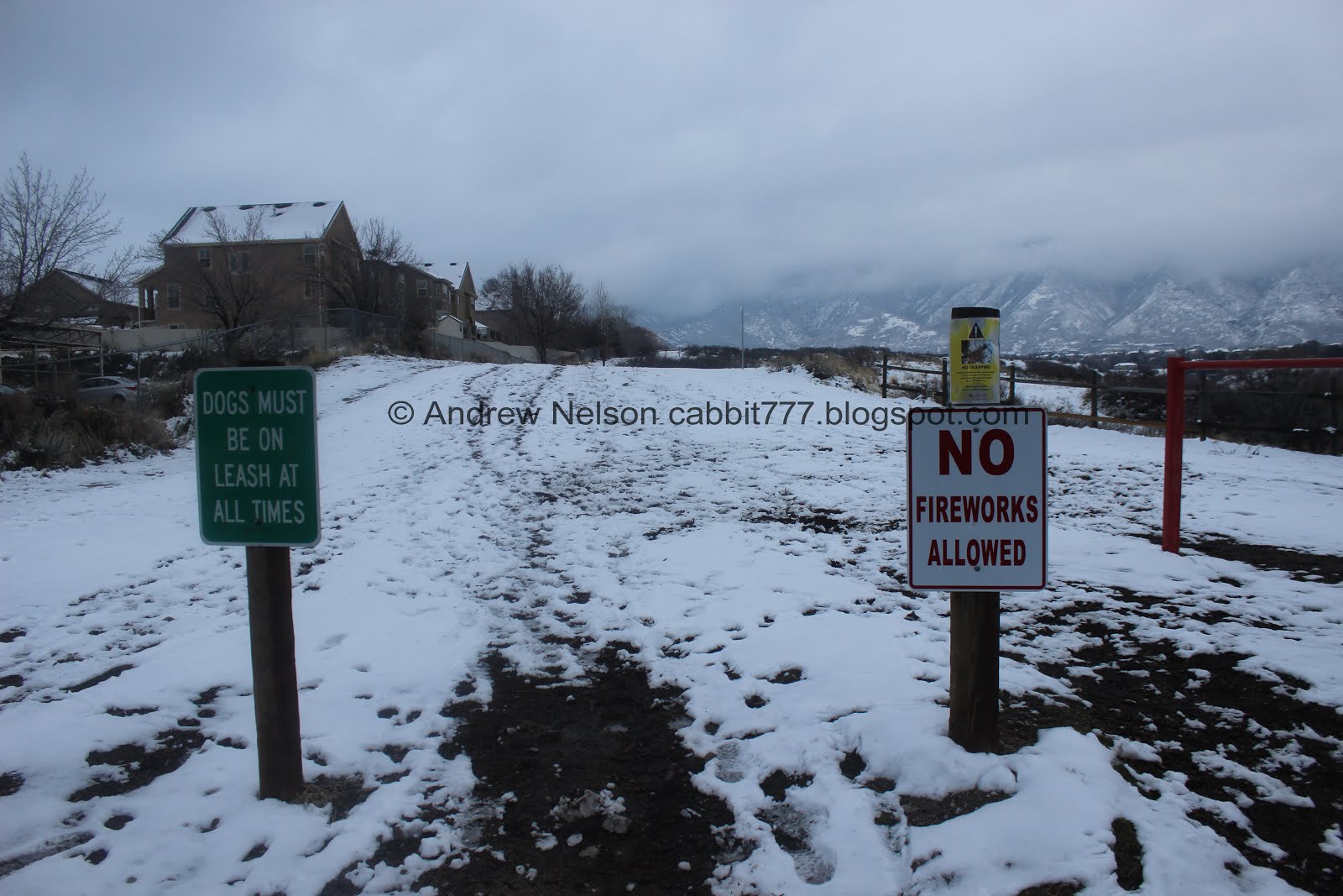
Dogs? Yes, Leashed. Also beware of traps (more info below).
Other Info: Additional information and a trail map located here (outside link) or there is this alternate interactive map I found last time we were here that shows the old trails and some additional points of interest. I don't know who made it, but I love it.
To Get Here:
Take 106th South to 13th east, Go south for about 1200 feet then turn right*. Go another 300 feet and you will see the Wrangler TH on the right.
*if you pass Smiths on 13th east, you went to far, but go ahead and turn into their parking lot and head south it’ll get there too.

Dirt parking lot. Sandy City found an interesting way to designate parking spaces while recycling old tires. Different, but I approve.

Trailhead sign.
Note, this is at the south end of the parking lot and will take you towards the Dimple Dell Trail, and the Dry Creek Trail. I didn’t realize it at the time, but the Sego Lily and Mountain View Trails are on the east end of the parking lot.

Some maniac is leaving traps in here? Yikes! Keep a good close eye on your dog. This is a great reminder on why it is important to check the TH sign before going in, even on trails you are familiar with. Sometimes there is new information to be aware of.
I would hope it’s just a misguided individual trying to trap some animal, but you never know, some people go to extremes to scare dog owners away. Either way, I am glad the city has warnings posted.
I didn’t take a picture, but there is also a nice picnic area here.
The Trail:

Like the Mount Jordan Trailhead you start at the top, and descend into the gully.

Neat tunnel under 13th east. This is the Dimple Dell Trail and will take you to the western section. I think we might explore that next time we come here.

Instead we decided to swing back east. I had intended to take the Sego Lily Trail today, but as I mentioned I should have gone east at the parking lot for that, so we did the Dry Creek Trail.

The Dry Creek trail though is, in my opinion, the best one.

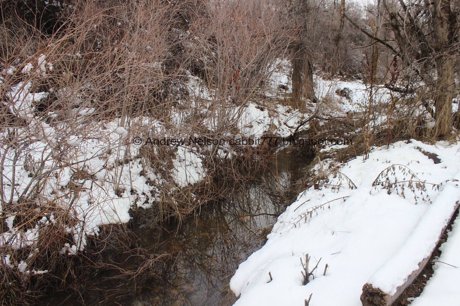
Dry Creek, living up to it’s name.

Unfortunately with the snow there were a couple spots that we were unsure if the trail went around the creek, or if that was a side trail and we need to use the creek bed itself.

However, we did keep picking the trail back up, so I guess if unsure, do what we did, and use the creek bed.

There were a couple places the creek had water, and we had to cross it, but it was never really deep enough to be an issue with our winter boots.
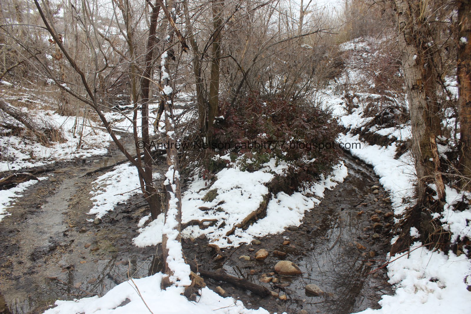
Dry Creek not living up to it’s name haha.

Lots of large bird nests, but no bigger birds today. Last time we saw a northern harrier though, so they are here.

Hitching post and a bench. This is a popular area with equestrians so be on the lookout for horses.

The creek again.

For the most part on the Dry Creek Trail you feel absolutely transported out of the city, but there are a couple spots you are reminded you are still in it.

However, other times it seems like you could get lost down here.

We were hearing a rather loud weird noise, so we went to investigate. Oh, here is where the water is coming from. It sounded really weird echoing down those tubes.

I love this gully.

The creek again.

This tree is just hanging there, attached to some branches above.
Another spot we weren’t sure which way to go. I think the trail was originally to the right, but the water seemed deeper there so we went left.


The creek again.

Probably the worst creek crossing, but again, not very deep, I had my water-proof winter boots so, splash splash splash.

Little tree tunnel.

I specifically chose this trail system to try and avoid the mud. Oi. Luckily this short section was the worst of it.

Another large nest.

Little clearing.

One of the loud magpies that were squawking at us.

Another tree tunnel.

The forest is a little ominous looking with the dark low clouds.

Random fenced in trail. There was a section we did a little later that was like this and had signs stating revegetation area, so that’s probably what it is.

Less forest but the gully narrows through here.

Landslide.

Starting to get a nice view of the mountains.

Dry Creek again.
It’s starting to look familiar so I think we have reached the area that we got to coming the other direction last time.

Yep, definitely crossed over. That is the side trail we took up last time. Spoiler alert, the one we will use today. But I wanted to at least hit 1.5 miles and we hadn’t yet so we pushed on hoping to make it to the next trail connector.


Dry Creek.

Lovely gully view.

Well, we went 1.5 miles and a quick peak at the map it looks like the next connector is still a ways ahead, so we decided to head back to the previous one.

Looking down gully.

Landslide again. I am still trying to figure out if these are animal burrows or something else. And if they are, if they existed before the slide or after.

Neat little pillar. Like something you’d see in Kodachrome State Park, or elsewhere in Southern Utah.

The creek again.

Back down to the connector trail.

It was a little more work than I remembered.

Now we are on the Mountain View Trail, I went the wrong way up a small hill to enjoy the mountain view of the Mountain View Trail. It’s better without the low hanging clouds, but it’s a nice view even with them.

A little closer.

Panoramic.

Heading back to the TH. The Mountain View Trail is lined with wood chips so it feels a little different.

This is why I think it is better to do the trails the other way around, I kept turning around to enjoy the mountains.

A look into the gully below.

After this split the trail becomes the Sego Lily Trail.

Oddly enough if you are coming from the other direction would split off to the left.
The spiderweb of trails really is confusing, at first it seems like they are classified by trail surface, but that is not always true either. Generally it seems Dry Creek Trail stays at the gully bottom, Sego Lily Trail in the middle, Dimple Dell At the top (at least above 13th eat.) and Mountain View goes through each level.

Horse hoof snow balls. That cannot be comfortable for the horse.

View down.

Looking back towards the mountains again.

Fenced in trail. Didn’t get a picture of the green signs but they say something along the lines of Revegetation Area. Not safe for horses. Stay on designated trails.

Mountains and low clouds.

Another trail split. Right would take us up to the Dimple Dell Trail (AKA North Rim Trail) Left will continue along the Sego Lily Trail. We opted for left because it looked like right went up into the neighborhood. I was not wrong, but I was wrong in thinking it would not get us back to the trailhead.

Back to a thinner sandy trail.

Looking back towards the mountains again.

Another panoramic.

Another view down into the gully.

For the most part the Sego Lily Trail has been alright, here is a short segment I did not like. I don’t like thinner trails on steep slopes. I managed though and it was a short segment, and not the worst I have made it through.

Oi. another muddy spot. Again, it was short and not too bad. Generally if a trail is continually muddy, it's best to abort and find something else (for your own sanity, as well for the fact that some trails can be damaged when used while muddy). But, if it is just a few short segments I am not opposed to continuing along.

I really don’t have much of a reference, but it really looks like more than a mile to 13th east from here. (Note, it was not).

The higher elevation trails remind you that you are still in the city.

Another trail split. I wasn’t 100% sure which way to go, but chose to go to the right. That did get us back to the trailhead so woo, good choice.

Oi. another climb.

A last look towards the mountains.

Climbing towards the Dimple Dell (AKA North Rim Trail) as I feared, it is along peoples back yards.

Old post says North Rim Trail. However that is not shown on the current map. As if the web of trails is not confusing enough.

Back to the parking lot.
Now that I have seen the alternate trailhead, I guess it makes sense., however I think an additional trailhead kiosk would have removed the initial confusion we experienced here.
Again, it is a little frustrating to figure out the different trails here, but we had a great time and I really enjoyed the solitude the park offered. We only ran into one other person today which was a little surprising. Going with 8 out of 10 squirrels. Losing 1 for the web of trails and another for lack of mileage indicators.
As for difficulty, it was fairly easy going all around. DR3,
Dogs are allowed, leashed. Please clean up after your furry friends.

No comments:
Post a Comment