.jpg)

View from Ensign Peak
Quick Details:
Length: About a mile out and back.
Trail Type: Out and back with options to connect to other trails.
Difficulty: DR3 yes it is a hard climb, but it is short. There is a much shorter, paved ramp up to Vista Mound that I will put at a DR2.
Elevation Gain: About 400 feet.
Restroom: No
Dogs? Yes, leashed.
Other Info: The TH closes at 10:00 PM. Although some of the signs contradict that, but 10:00 is the most common so I am going with that. Anyway, I mention that because It’s a fantastic night hike as well, but plan to be done before then if you decide to do that.
To Get Here:
Find your way to the capital building downtown. Take the street east of the capital (E. Capital BLVD.) north for half a mile (from the intersection with the rd behind the capital). Turn left on Edgecombe Dr. Continue it for .3 miles until the road becomes Ensign Vista Dr. Another .2 miles you will SEE Ensign Peak Nature Park on the left. Park on the road and hike north

The peak dominating over the neighborhoods below (Passenger Seat Photography (PSP)). The peak is fairly prominent and can be seen from much of the valley. Also, you can see a gaggle of people up there on it.
The Trail:

The Trail Head is at this little nature park.

Neat little area with some informative signs.

You have a lovely view of the peak for well, pretty much the entire trail.

Just a short way up you will come to a trail split and this new sign (that has the hours as 5:00 AM - 11:00 PM) Anyway, you can go either way and still make it to the peak, left just has an additional viewpoint, Vista Mound, before hand. I usually hit that on the way down, and today was not different.

Vista Mound. We will see that on the way down. And by the way, it offers a great view as well, and is paved all the way (from this direction) so if you can’t do the hike up to the peak, this is still a great easy option.


Back on the main trail. I think these stone steps are new.

There is a tiny little arch on the front of the peak.

Nice little view here. Apparently there is an amphitheater here, But I don’t see it.

I love all the random square stones along this trail.

The peak again.

The long hard climb.

View below again. The inversion has already taken hold of the valley.


This is Valley Vista.

The view from here doesn’t quite match the sign, but the peak will offer that view.

The worst of the climb is between Valley Vista and Lake Vista. Oi.

But we are getting there.

The little saddle I reached from doing the Bonneville Shoreline Trail (BST) from Tunnel Springs.

The view from Lake Vista.

The last leg is along the ridge.

Final push.

The monument on the peak.

The view from the peak. It’s a little better when the inversion isn’t so bad.

Panoramic.

Coinciding sign.

Another panoramic.

The Avenues Twin Peaks. That is another awesome trail.

Downtown again.

Vista Mound below.

The peak is quite popular!

Another panoramic.

The monument again.

With the plaque. 2 days after arriving in the valley, now known as Pioneer day, the pioneers climbed up to this peak to survey the valley and the water sources.

Looking towards Mount Van Cott (left side).
The peak is fun and offers great views but we had better get going.

View of the Great Salt Lake and Antelope Island.

There is one tiny spot with what looks like a nasty drop. I used to not like this spot, but it doesn’t bother me too much anymore. The trail is plenty wide and you can stay away from the edge.

Looking back up at the peak.

Back down to Lake Vista.

View from it.

View of the city below.

The peak again.

Heading down the trail.

Nekkid trees.

The side trail out to Vista Mound. This hole is new. Not quite sure what it is, but looks like it might be some drainage solution?
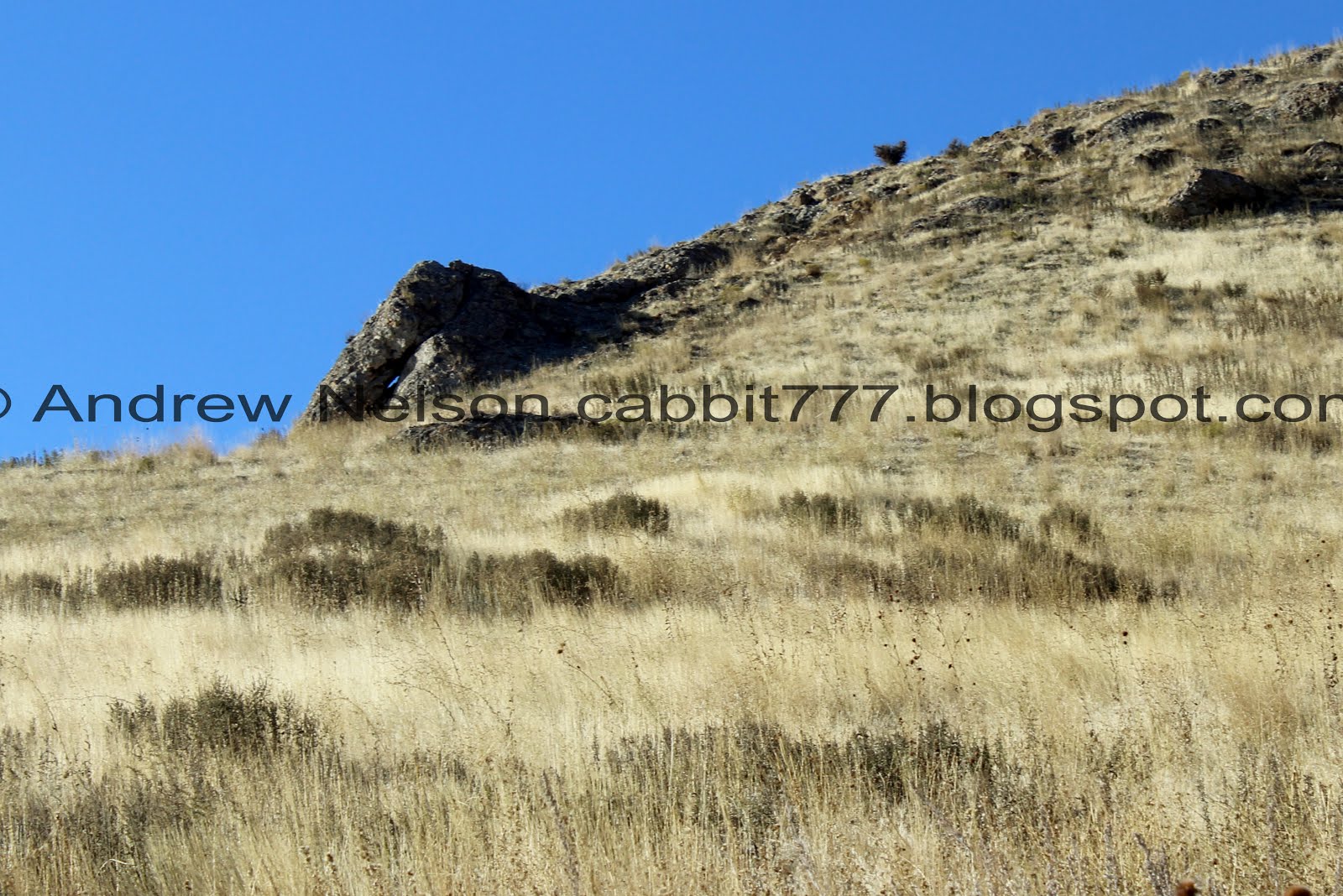
The little arch on the front of the peak. It barely has an opening, but you can see blue sky through there, so I think it counts.

With the peak.

Down to Vista Mound.

Sign pointing out certain landmarks.

The view. As I mentioned, if you can’t handle to climb to the peak, this is a great easier option and I think is even ADA accessible. The view is still great, even with the inversion.

Panoramic.

Ensign Peak from Vista Mound.

The boot scraper appears to have been refreshed. It is needed. We have done this one when it was muddy once and wow, was it bad.

Back down to the little informative area.

Another sign referencing the 10:00 PM closure, it also acts as a barrier across the entrance so that is what I am going to finalize on.
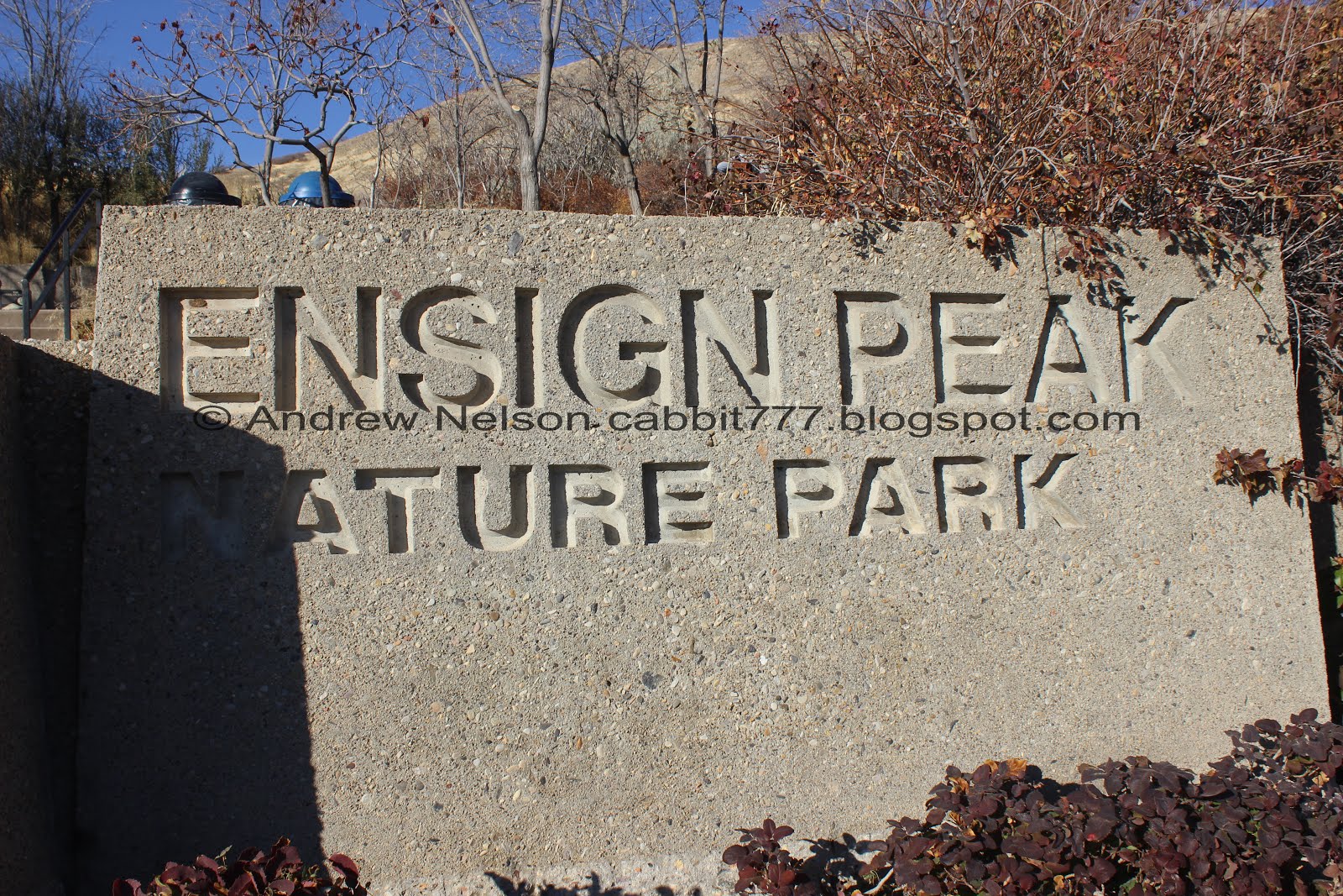
Park sign.

This sign says daylight to dark haha. I am guessing the ordinance has possibly changed a few times. But again, we’ll go with the one that appears to act as a barrier, 10:00 PM.

Heading towards downtown since we needed to be south (PSP).
I love this quick little trail. As I mentioned it is a perfect quick adventure to squeeze in when you are short on time but still want some nature. It’s a bit on the crowded side, but that is to be expected to close to the city and being such a short trail. The views are absolutely incredible from all of the vistas. It shall retain the 8 out of 10 squirrels rating.
As for difficulty, The trail up to the peak has some definite climbs, but it is shorter so I am going with a DR3. If you want an easier, and possibly ADA accessible option, Vista Mound offers great views as well and is paved and ramped so DR2 for that.
Dogs are allowed, but must be leashed. Please clean up after your furry friend.

No comments:
Post a Comment