.jpg)

Quick Details:
Length: About 4 miles out and back, with a shorter option should you chose to drive to the upper TH.
Trail Type: Out and Back
Difficulty: DR3. not too bad.
Elevation Gain: About 580
Restroom: Uhm… questionable? Not at the TH but there is a random old outhouse on the trail. Not sure if it is still operational. I wouldn’t plan on it. Closest one I can think of is at Silver Lake just a bit up canyon.
Dogs? No. Big Cottonwood Canyon is watershed.
To Get Here:
Drive up Big Cottonwood Canyon and turn into the first Solitude Ski Resort parking lot. Park at the far west end of it. You will see a trail at the SW corner of the lost, use that and head west.
The Trail:

The trail is just to the left of this pay station. Considering that they are covered in bags I think they are not active yet. I hope that will just be a winter thing.


The trail starts to go under this ski lift.

Geraniums.

The thinner trail passes this wider trail, I swear I remember there being a sign last time, but anyway, you want to stay on the thinner trail.

This will take you to a thinner paved road, take a left here and hike up this road for a bit.

More geraniums.

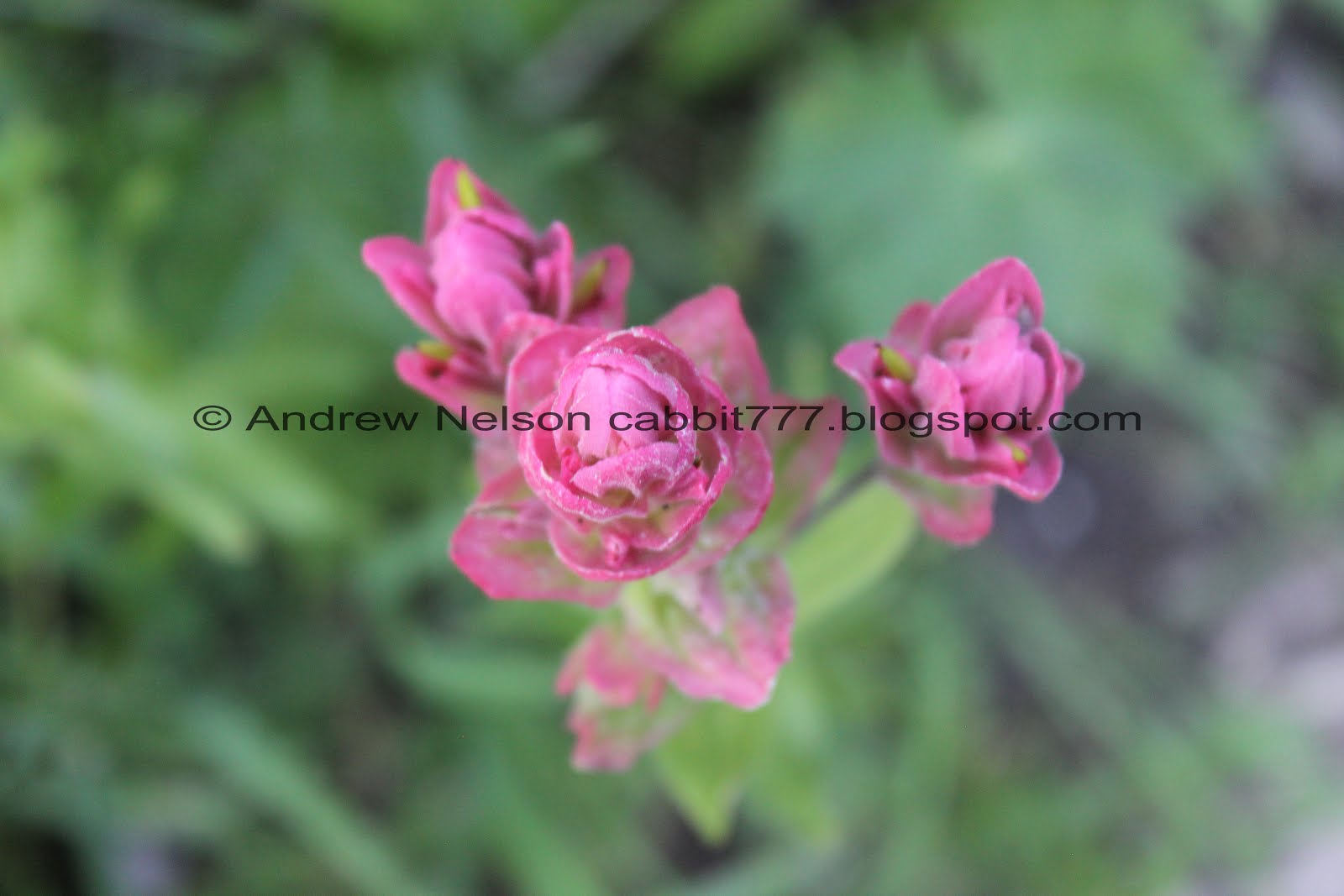
Some paintbrush.


Walking up the road is pretty nice actually.

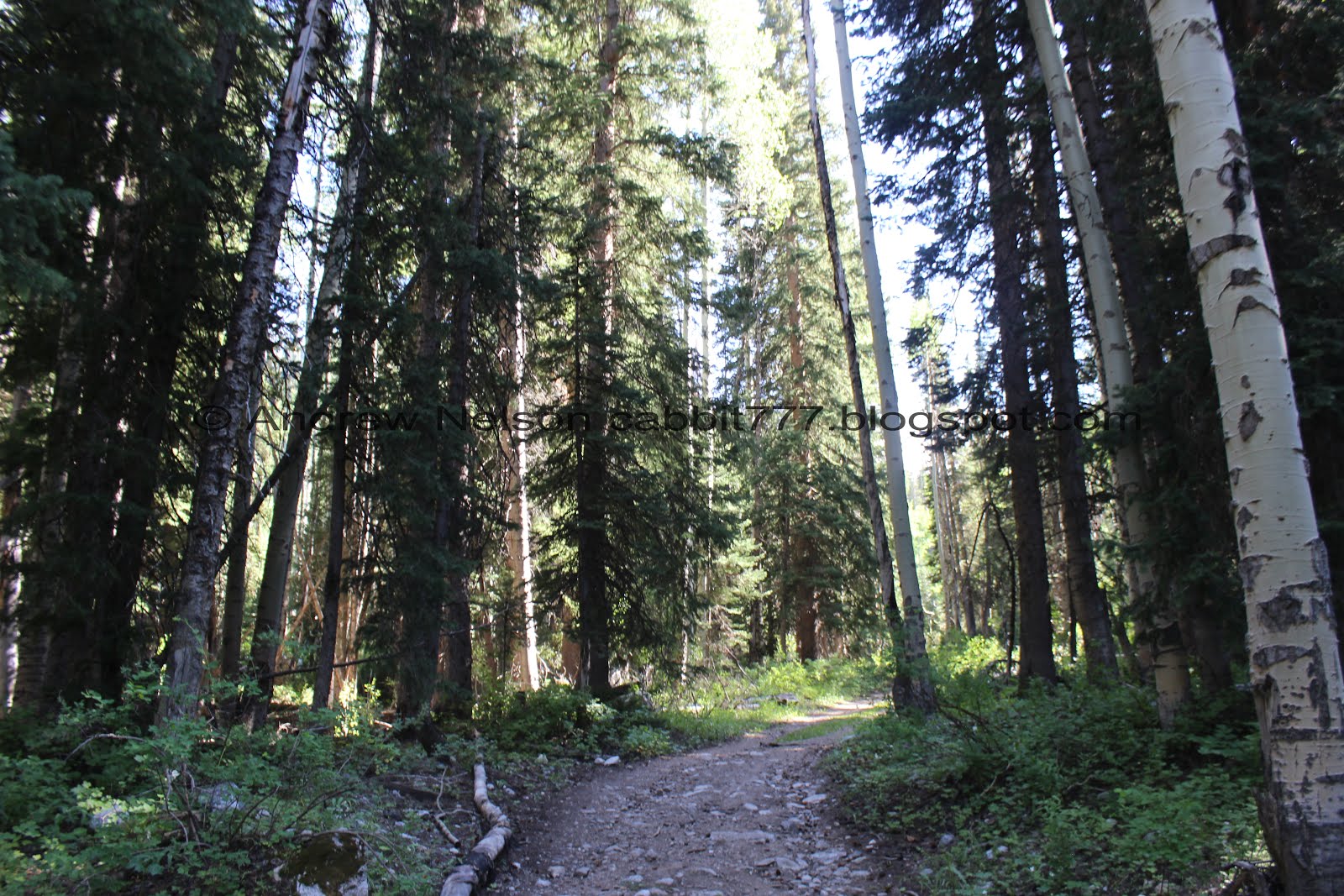
The woods are super thick through here.

It is glorious!

The road is awfully thin, which is why I don’t tend to drive up it, but it makes a nice walk.

Tree Stars! Not really, that was a throwback to The Land Before Time. I have no idea what these really are.


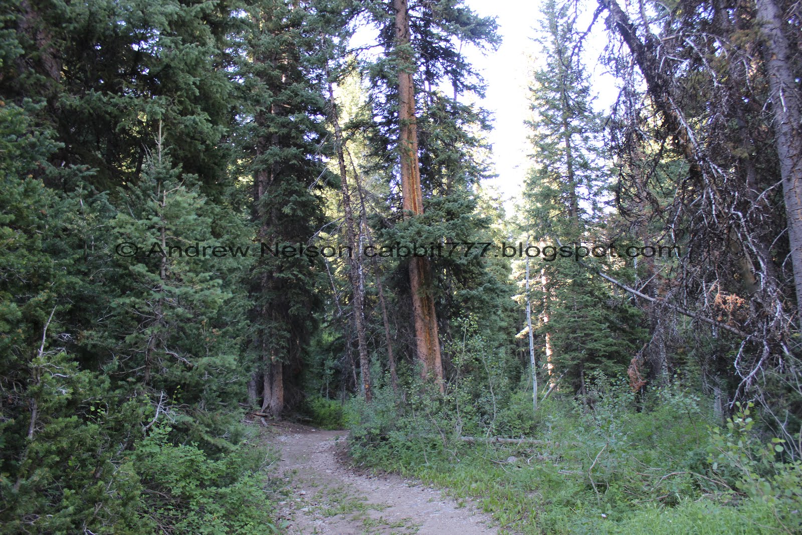
Pretty forested road.

Eventually you start hitting the cabin areas.

This development seems to be a little behind schedule. If you can’t read it it says Summer 2017.

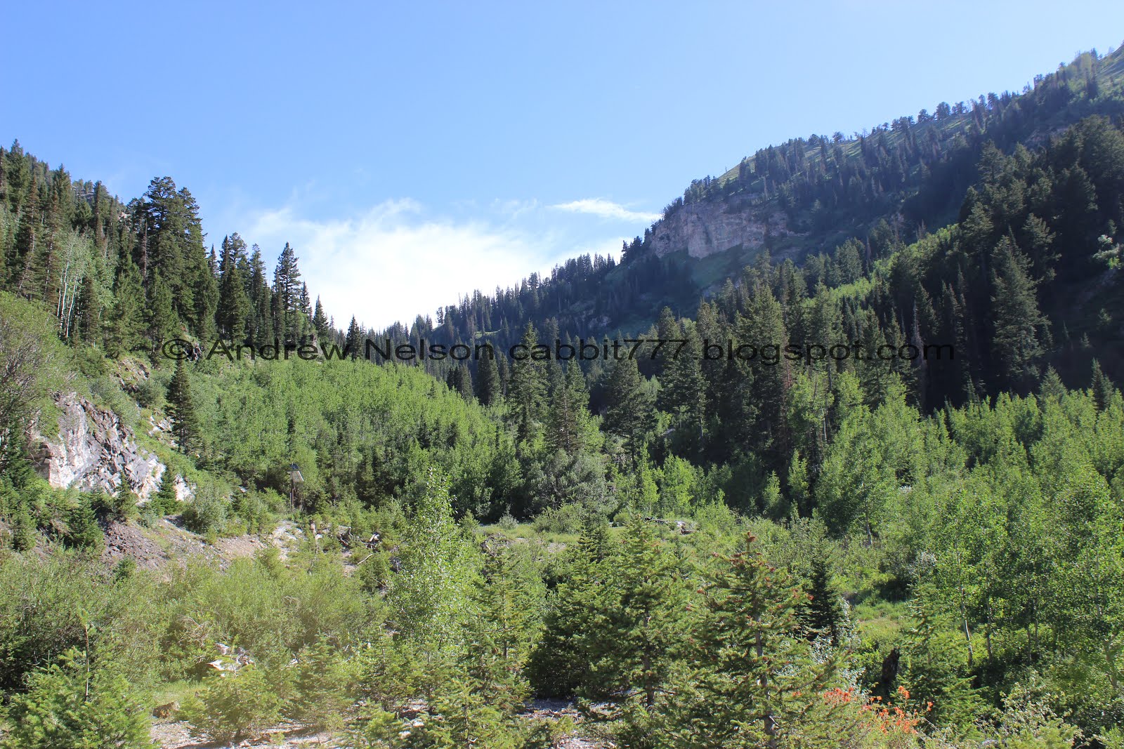
Lovely mixed forest.

You will want to take the thin dirt road to the right. Otherwise you’ll end up on someone's property.

Thin dirt road. No room for passing. But it is short.


Holy geraniums, Batman!

At about 3/4 of a mile you will reach a very small parking lot.

Then the old road gets even more thin. Motorized vehicles are not allowed beyond the parking lot though.

Pretty forest.

Pretty aspens.

Tree broken over a rock.

At about 9/10ths of a mile you will reach the actual trailhead. Oh, only 3 more miles to go! Maybe one day we’ll do that, but so far we have only gone up to the mine which is just a smidge over a mile from here.


Last year there were tons of columbines, but this year is blowing last year out of the water.

Thankfully there is a lot of shade.

Crossing the very dry Silver Fork Creek.


More pretty forest.

Some pretty purple flowers.

The old outhouse. Last time we hiked up here I noticed it appears to have a normal pit toilet, however I have no clue if it is ever serviced, so I don’t know if I would feel comfortable using it.I wonder if there was an old camp up here or something? It really just seems out of place.


It really is a lovely stroll through the woods.


Some gorgeous paintbrush.

Little side trail. I think it just leads to a little clearing. I might be wrong.

Hollyhocks.

One of the little clearings.

Wild daisies.

A pretty penstemon.

More paintbrush.

More. I love all the variety in paintbrush.

Eventually the old road becomes a double track, or what I always call old jeep road.

I think these are skyrockets.

Spearmint.

Little bit thinner though here, but not too bad.

The dry creek bed below.

Loads of geraniums.

The dry creek bed.

More flowers.


Back in the forest.

Continuing along.

Lupine.

Western coneflower.

Pretty forest.


More hollyhocks.

More columbines.

The main trail continues to the right here. One of these days I might check it out. but to get to the mine you will continue following the old jeep road to the left.

This also means you are getting close.

The Honeycomb Cliffs.
For some reason I was under the impression that this is where honeycomb calcite is found. I have since learned that that is definitely not that case. Honeycomb calcite is unique to Utah, but found in the Uintas. I would imagine it got its name due to honeycomb weathering (external link). However I have never been up there myself, so I don't know for sure.

Paintbrush and geraniums.

The big clearing.

More paintbrush.

More flowers.

The dry creek and some peaks above.

There are a few short segments that are really beach sandy, which is not fun to hike through, but they are short.

Fun bent trees. We learned about what causes this on the Limber Pine Trail. Basically heavy snow can bend the tree over and it is thought the leader branch might have broken off and a secondary branch took over, which causes the weird zig zag.

More pretty penstemon.

It is pretty up here.


More paintbrush.

Multiple varieties.

The pretty orange.
Landis mentioned that we saw wildflowers of every color today. I think he is right.

We made it to the mine.

Some yellow flowers.

Back to the mine. I am really curious what material they used to cover this up? And why? It looks weird. Most mines I know of just have grates.


Peering in through the cracks.

Looking out.

View down canyon.

Fun rock layers.


Then there is this, some remains of an old building built into the cliffs.

View down again.
View up canyon.

Heading back down.

Another skyrocket.

Pretty forest.

View down again.

The big clearing.

More paintbrush.


More flowers.

Cow parsnip.

More columbines.
These magenta paintbrushes are my amazing.

Lupine.

Back down to the hollyhocks. So pretty.

Pretty forest.

Geraniums and lupine.

Spearmint.


Pretty forest.

More geraniums.

Penstemon.


Geraniums.

More skyrockets.


Paintbrush.

Western cone flower.

More paintbrush.

Pretty forest.

Back down to the old outhouse.

Forest.

Where you cross the dry creek bed.

Back down to the gate.

More columbines.


Pretty forest.

Peak across the way.

Pretty yellow flowers.

Back down to the thinner dirt road.

Then the thin paved road.


The paved road is through a thick forest so it is still enjoyable.


More forest.

Looking up.

All of the tree stars make me think Oregon. They aren’t really called tree stars, that is a Land Before Time reference. I think they might actually be thimble berries. But I might be wrong.

I tried to figure out where this trail goes, comes from, but didn’t have a lot of luck.

Forest.

Right after the road bends to the left….

Keep your eye out for the trail back to the parking lot.
From what I can tell on google maps, you will still get back if you do miss the trail, but it might add a quarter mile or so.

Back in the Solitude boundaries.

Fireweed! One of my favorites.

Pretty hillside.

The Solitude Moonbeam Lodge..

Looking towards Willow Heights.

I think this might be the front side of Scotts Hill.

The Moonbeam Lodge again (PSP).

Heading down canyon (PSP).
Woo. That was a nice good hike. Loads and loads of wildflowers, great mountain views, and hardly any people, which is kind of a rare thing in Big Cottonwood Canyon. Going with 9 out of 10 squirrels.
As for difficulty, this is a pretty mild climb. Going with a DR3.
Dogs are not allowed in Big Cottonwood Canyon, so please leave Fido at home.

No comments:
Post a Comment