.jpg)

Quick Details:
Length: 4 miles out and back.
Trail Type: Out and back.
Difficulty: DR3 It is a gradual climb. But the high point is in the middle, meaning there is a climb on the way in, and on the way out.
Elevation Gain: 1230 Ft. Including in and out.
Restroom: Yes, there are pit toilets at the parking lot.
Dogs? Yes, but must remain leashed. Please clean up after your furry friends.
Other Info: Fee area. $6.00 for a 3 day pass. Recommend bringing exact change or a check as there is not always a ranger at the station.
To Get Here:
The most direct route is up Provo Canyon. Take that about 7 miles up canyon. After you go through the tunnels take the first left (follow signs for Sundance). Go about 4.5 miles up this side canyon. Aspen Grove is literally right behind the ranger station on the left.

Cascade Mountain above Orem (PSP (Passenger Seat Photography)).

A small waterfall I cant seem to locate the name of right now (PSP).

Bridal Veil Falls (PSP).

Another unnamed waterfall (PSP).

Upper Falls (PSP).

The tunnel (PSP).

About… ~100 yards after the tunnel is the left turn into this canyon on the Alpine Loop road (PSP).

This road is a bit more narrow, but as far as canyon roads go, it is not too bad (PSP).

Snow on the mountains (PSP).
The Trail:

At the Aspen Grove Trailhead. Some waterfalls on the mountain.
The ranger station was closed, so we paid the the fee via the self service station (located near the restrooms).
By the way, the Stewart Falls trail is next to the restrooms. There is another trail on the other end of the parking lot.

Trailhead sign. I have been wondering where the alternate trail was and somebody etched on the sign which helped me out. Its right of here.

This sign is new.

Some pretty wildflowers.

Clematis.

Young bluebells.

Still having trouble identifying these. I am thinking something in the phlox family.


Geraniums.

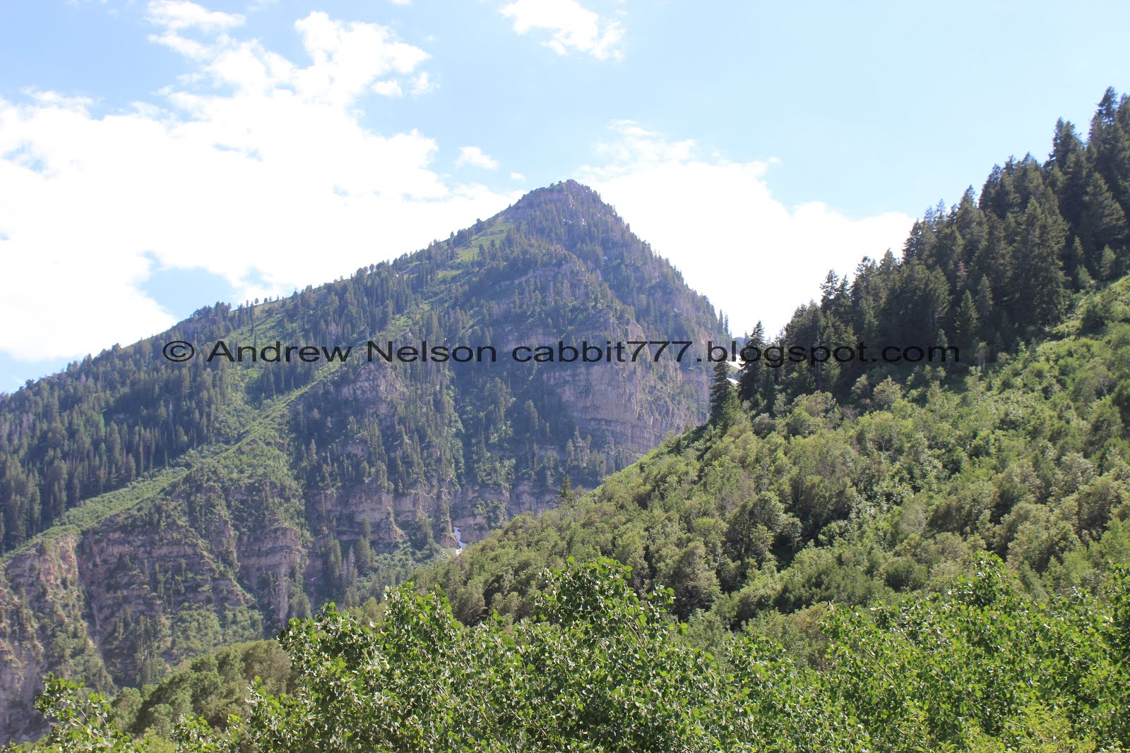
Peaks.


Columbines.

The trail.

Primrose.


The pretty forest.

Daisies.

Some of the trail is along a fairly steep slope, which sometimes makes me nervous. But the trail is pretty wide and the vegetation is thick enough that it’s not too bad.

More of the phlox. Now that I have seen a little bee taking a nap in one from the last time we were at Willow Heights I like to check them to see if anything neat is happening.

View down the canyon we drove up.

Another daisy.


Now we have reached the aspens and the ferns.

I love me a good aspen forest.


Wow. I am guessing this is an avalanche scar? Crazy.

Little clearing.

Some spots along the trail feel a little tight with all the thick vegetation.

Another avalanche scar.

First glimpse of the canyon we are heading towards.
Better look at the canyon we are heading towards. I want to say this is about halfway.

Hills and valleys below.

Little bit of snow on the peak above.

More ferns.

Ferns and forest.

More forest.
Almost a half mile away and we can already hear the roar of the waterfall.

First glimpse of Stewarts Cascades (right) and a side waterfall.

With the peak above.

Some scarlet trumpets I think.

Dogbane.

Firecracker penstemon.

Near the end of the trail is this landslide section. I have been psyching myself up for it the whole way, but now that we are here it isn’t so bad. I don’t like it, that is for sure, but I am able to cross it.

It is a little bit longer than I remember it being though.

Rocks above.

Looking down.

View out again.

The last section is the steepest and thinnest but its not so bad.

The waterfalls again.

Getting closer. I can already tell the waterfall is going better than any other time we have seen it.
The upper view point was a little crowded so we continued down to the bottom.

Looking down towards Sundance.

Wild snapdragon.

Scarlet trumpets.

With the waterfall.

I couldn't help but let out an audible "Whoa!!!" when we got here.

Incredible! Normally the upper tier is little more than a wet face as there is a small channel to the right of it where most of the water goes down out of sight.

Here is what is looked like in July of 2012 from roughly the same angle.

You can see some of the cracks where additional water flows out.

The lower tier.

From a little lower. Such a pretty waterfall.

The mist from the falls sprayed quite a large area. Lots of droplets on the lens today.

Looking downstream.

The waterfall with a human for scale.

I caught some of the mist coming down, as well as some of the crowd. Also, the sun was not in the best spot for taking pictures. Oi.

From the other side of the creek. Got our feet a little wet crossing it, but it wasn’t bad.

The mist is still a bit of a problem on this side too haha.

You can see the water above the lower tier seems fuller than what is coming down. It’s because of that channel I mentioned to the side.

View of the crowd. This is seriously the most crowded we have seen it here.

The waterfall again.

The top.

Panoramic.

With some people for scale.

The side waterfall.

With peaks above.

Crossing the creek again.

Another view of the waterfall.

The top again.
Well, we had our fun, but decided to head on back.

Steeper climb back out.

Scarlet trumpets and the waterfall.

Little better.


From the upper viewpoint.

The valley below.

Little rocky section. Not bad at all.

More dogbane.

Looking back at the waterfalls one last time.

Back to the long landslide section.

Neat family tree.

Pretty purple penstemon.


Back into the woods.

Looking up.


Ferns, ferns, and more ferns.


Such a pretty forest.

One of the avalanche scars.

Peak above.

Taper-tip onions.

Western coneflower.

Looking towards the trailhead.

Thick foliage.

Bluebells.

I wanna say this is a random stem of primrose, but it might be something else.

Pretty forest.

Bent aspens.

Ferns.

Pretty forest.

Cow parsnip. It’s everywhere up here.

The phlox with a butterfly and a bee.

Hard at work, not napping today.
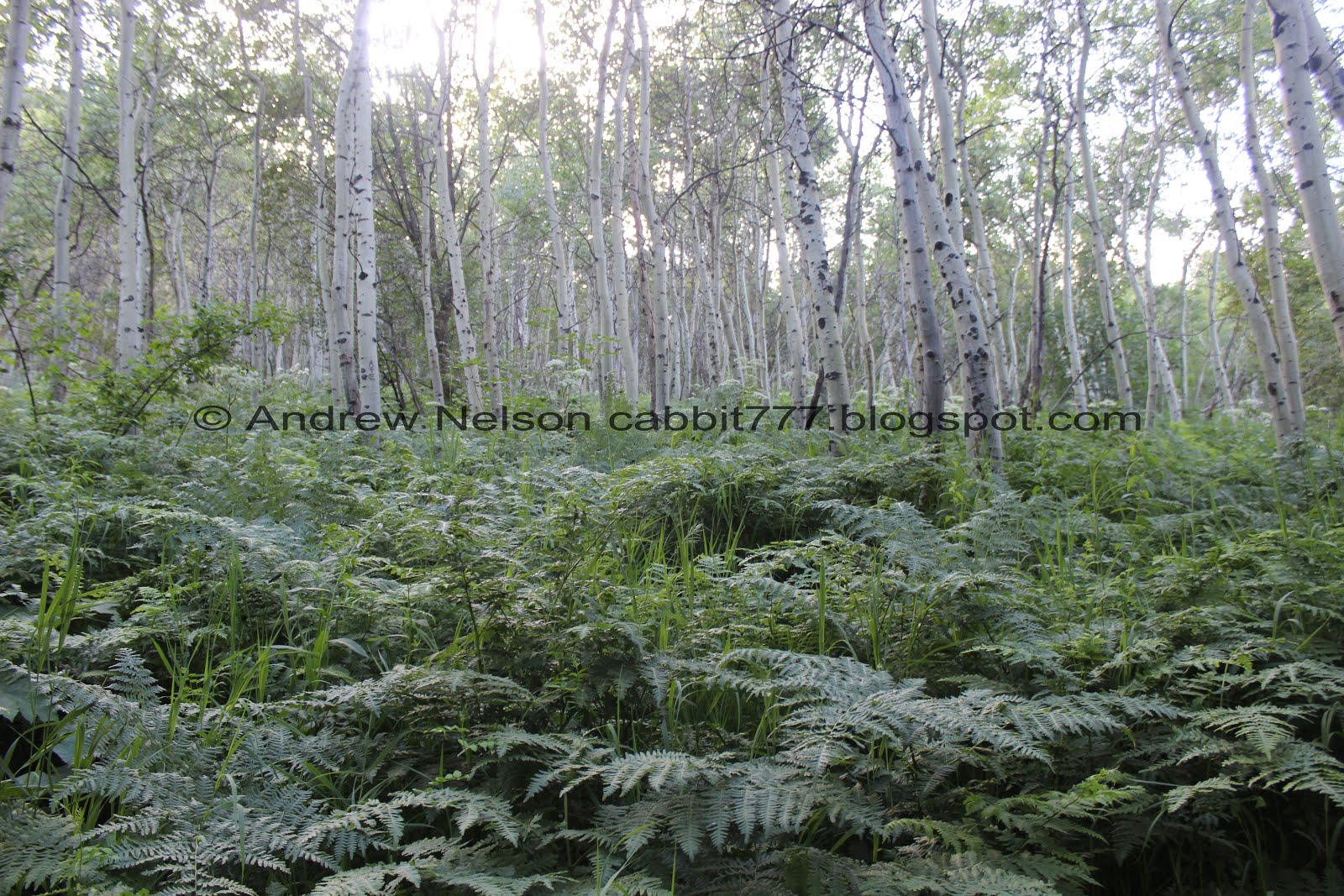
Ferns and aspens.

The only wildlife we saw today was this robin.

I am not sure, but the closest match I can find is spearmint. I didn’t check if the stem was square or bother to smell it, but next time I see one I will.

Chickweed.

Entering a different kind of forest.

That water tank is about a half mile up. So, we’re almost done.

Quite a few of these signs around here. I imagine it is for the BYU AG property. Still trying to figure out exactly what that is, but it looks like a small resort. Not sure how or why that is affiliated with BYU but, whatevs.

Bizarre family tree.

Pretty forest.

Daisies.


More forest.

The BYU PG has a trail that joins this one. It’s thinner, and signed so pretty easy to miss, but stay on the main trail.

More pretty forest.

Weird looking berries. I bet they taste like burning.


More pretty forest.

Primrose.

Nearing the trailhead there is still some snow on that mountain.

Columbines.

Peaks across the way.

Back to the large parking lot.

Snow on the peaks again.

Heading back down the way we came (PSP). You can keep going the other way and complete the Alpine Loop which will exit in American Fork Canyon.

Narrow canyon (PSP).

Back to the tunnel in Provo Canyon (PSP).

Nearing the mouth of Provo Canyon (PSP).

Mount Timpanogos just outside of Provo Canyon (PSP).

At the point of the mountain (PSP). Holy paragliders batman!
I really love this hike. It’s not terribly difficult and is a really lovely walk through the woods leading to a huge waterfall. With the high run-off this year it is even more incredible than we have ever seen it before! Absolutely amazing. However, this trail has become increasingly popular and it was really crowded today. We also unfortunately passed quite a few people who don’t seem to grasp basic trail courtesy, which is really a shame to see this far above the city. Taking 2 squirrels for that reason. 8 out of 10 squirrels.
As for difficulty, this trail is pretty easy going and I have previously described it as mostly flat. It’s not flat at all, but it is mostly pretty gradual. However, the highpoint is in the middle which means there is a climb on the way in and on the way back. DR3.
Dogs are allowed, leashed. Please clean up after your furry friends!

No comments:
Post a Comment