.jpg)
The Buffalo Point Trail on Antelope Island is a fantastic short trail system on the northwest tip of the island. This short trail features amazing views in all directions and is a pretty easy little peak to knock out. We decided to check it out on our 2024 Antelope Island Trip.
I have been meaning to come back and do this trail for a couple years now since it has been so long since I have done it but it was always a low priority for me because there was a spot on it I really didn’t like. Well, I am happy to say the trail has been rerouted and it is so much better now! I think I am still going to tag my Fear of Heights Trigger, because its up there, but honestly I think I was psyching myself out more thinking about that bad part. Looking back now it is pretty wide and not too bad at all.

Quick Details:
Length: The sign says it is 4/10ths of a mile one way, we ended up doing a mile out and back.
Trail Type: Loop with spur
Difficulty: DR3. It’s a bit of a climb, but it is short.
Elevation Gain: 248 feet.
Restroom: Yes, vault toilets at the trailhead.
Dogs? Yes, but must remain leashed at all times.
Other Info: Fee area. $15.00 per car.
To Get Here:
This is located at the far north west side of the island and can be reached going either way from the split at the end of the causeway road. Going left appears to be more direct.
The Trail:

Trail sign. Also, if you look closely you can see that the old route has been closed for safety.

We decided to use the west fork today.

Looking towards our destination. The trail is nice and wide on this wide spine.

Looking back toward White Rock Bay.

The other side towards Bridger Bay.

Continuing up. There are a couple rocky parts.

View to the west with White Rock Bay.

View to the east with Bridger Bay and Ladyfinger Point. We ended up exploring that a little bit later today.
.jpg)
Panoramic.

I believe that is Beacon Knob to the right. Another easy peak, just a little longer.

Continuing up.

Bridger Bay again.

Nice wide saddle. All I could see was the original trail and it was making me more and more nervous. But, we pushed on, kind of slowly.

Looking back towards Beacon Knob again.
.jpg)
To the east.
.jpg)
To the west.

The point again.
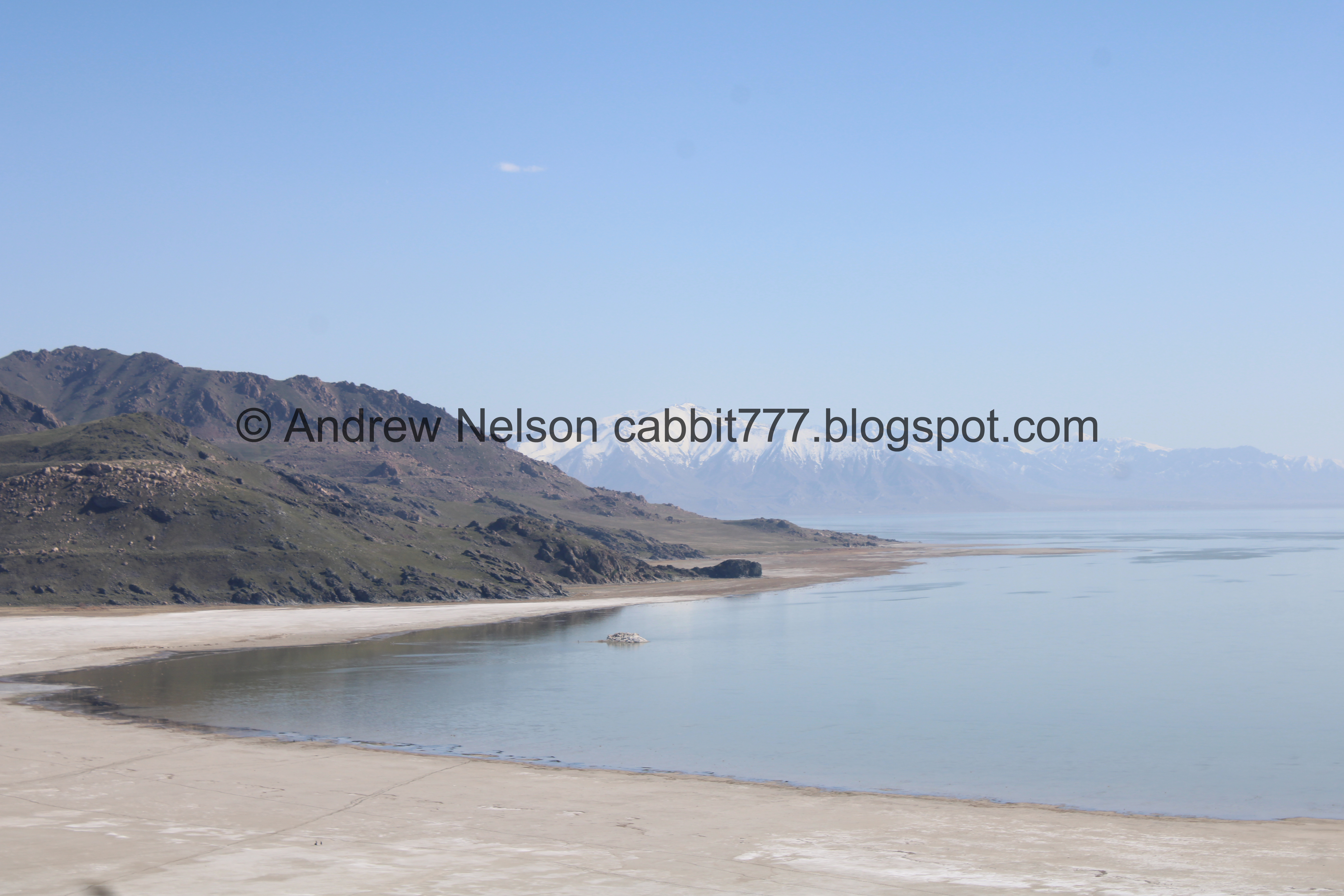
White Rock Bay.

We saw something moving across the bay so I switched to my telephoto lens and found… people. LOL.


The signage is not very good though, so a lot of people were using the old route still.

Not so bad.

Bridger Bay.

Starting to climb again.

I think this is a type of parsley. Maybe desert parsley?

A quick switchback over a scree field.

I thought we were almost to the top, but that is a desire path that they have closed.


Another closed desire path.

Bridger Bay again.

The final push.

We made it! Phew! Wow, it is incredible up here!
I am pretty sure this is the park designated end of the trail, however the trail did continue a little bit further to the north so we explored a little more.

Actually, I think this might be the high point, and the end of the official trail.
We made a huge mistake today. We had removed the bug spray from our packs for winter, and hadn’t put it back yet, and well, the mosquitos are absolutely insane up here! I honestly cannot recall a time where I had seen as many on my body than I did today. Holy crap. I am currently nursing about 30 or so bites.
Almost to the top.

I found some phlox.

The top. I think my pedometer app put this at about a half mile, so a little further than the sign stated.

Lizard!

The trail seemed to keep going, even though the mosquitos were driving us bonkers I pushed on a little further.

More parsley.

Fun rocks.

As far as we made it. I really wanted to keep going on the seemingly unofficial trail down along the point, but man the mosquitos were just awful! So we called it here and scurried back as fast as we could. However, I think I am going to come back eventually, armed with some bug spray.

Bridger Bay again.
.jpg)
Panoramic.

Heading back towards the peak.


More fun rocks.

White Rock Bay again.

Snake! Luckily it appears to be a gopher snake because Landis almost stepped on it (I am glad he did not actually step on it too).

Back into the brush little guy.

White Rock Bay again.

Stansbury Island.
.jpg)
Panoramic.

Back to the bench. I made note of it because this is where we came up, so I knew it would be the way back down. We watched another small group turn around a little further along. I assume they hit the barrier for the closed trail. I think Antelope Island could do a little better with the signage to keep people on the correct trail.

The view again.

The other side, towards Bridger Bay.

Heading back down.

The moss almost made a spiral here.

See, not so bad.

There is a barricade across the old trail, but again, I think they need more signage to keep you on the right path.

Looking back towards the old trail.

More phlox.

Back down to the loop split. We considered checking out the newer east fork, but as you can see it was a bit busy, so we just went back down the west fork. Now that I know this trail isn’t so bad now, I might try the other fork sometime.

White Rock Bay again.

Continuing down.

Almost down to the parking lot.
Hrm. That looks like pit toilets, but it is not on the map. I wonder if they might be new.
Well, that trail is just great, aside from the mosquitos, but we could have mitigated that if we had planned ahead better. I am glad that I decided to try it again. The rough part has been bypassed, and the bypass is just fine. It is a little busy, but not too bad. 9 out of 10 squirrels.
As for difficulty, it is a bit of a climb, but not too bad, and it is super short. DR3.
Dogs are allowed, but must remain leashed at all times.

No comments:
Post a Comment