.jpg)

Quick Details:
Length: The sign says .75. My app put the east trail at .8 and the west trail at .9. Add .8 around the lake for a total 2.5 mile loop.
Trail Type: Double loop, figure 8, balloon, or out and back depending on what you want to do.
Difficulty: While short, even the easier route kicks our buts. DR4
Elevation Gain: About 680 ft.
Restroom: No. But there are some up at the Solitude Nordic Center not too far up canyon.
Dogs? No. Big Cottonwood Canyon is watershed.
To Get Here:
Head up Big Cottonwood Canyon. Past the Silver Fork Lodge. About halfway between mile marker 13 and 14 there will be a boulder on the left (north) side of the road. If you reach Solitude you went too far, but don’t worry. the canyon ends at a loop that will easily turn you around.
The Trail:

The trailhead.

Pretty peak across the canyon.

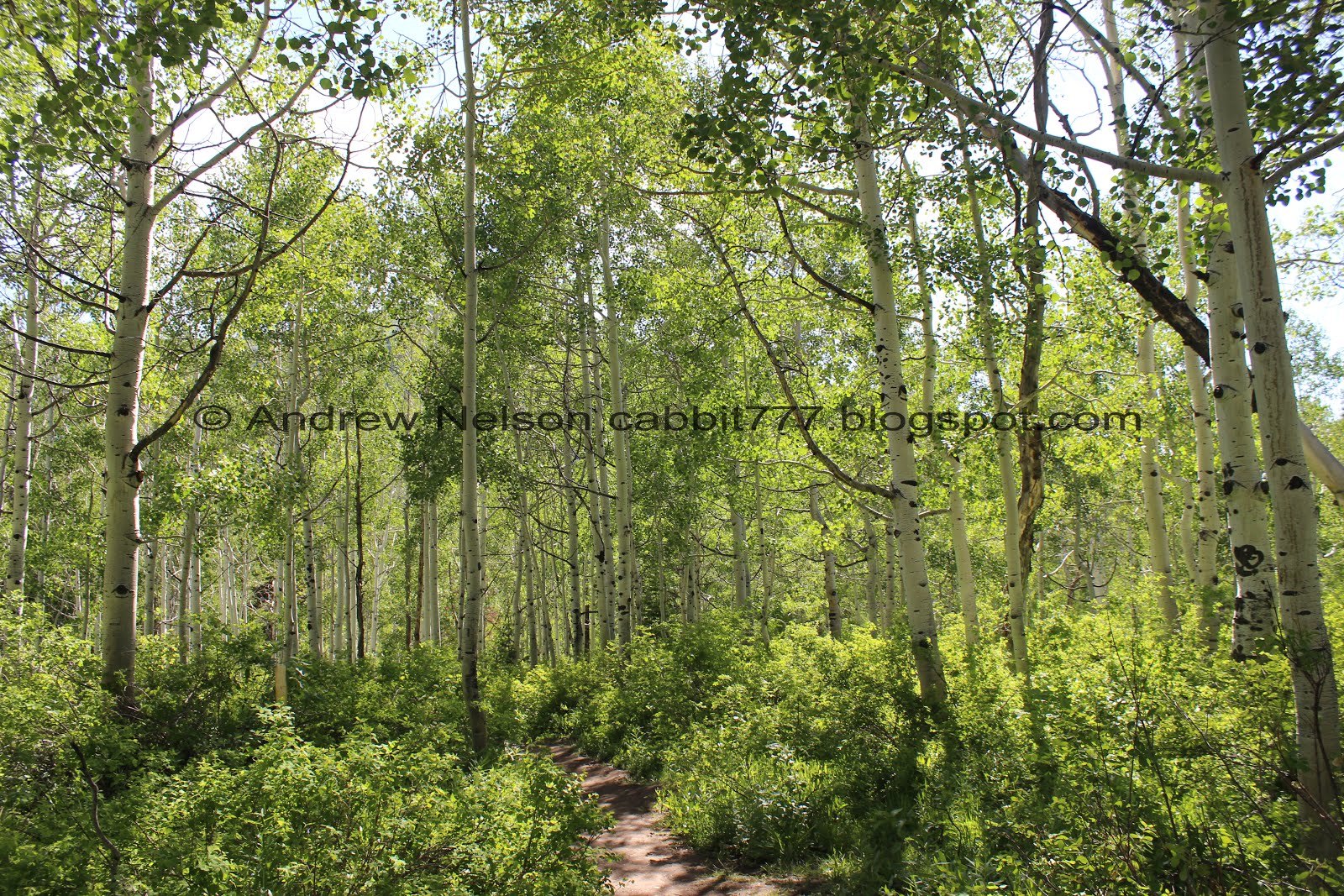
Holy thick, green forest, batman!

The information sign is set a little further back.


Pretty willows.


The wildflowers are starting to come out.

At a .11 miles you will come to the trail fork. Right is the original, main trail. It is a little more steep and rocky. Left is the alternate route its just a smidge longer, but a little more gradual of a climb and less rocky. Since I discovered it, I prefer to go up the left trail, and come down the right trail.

I cannot believe how overgrown the trail is! I guess the spring storms have made the plants super happy.


Pretty forest.

Crossing Willow Creek.

Onto the climb.


Super pretty up here.

We can see Silver Fork through the trees.

Eventually the trail connects to the wider trail. If you plan to return this way, you might consider taking note of what the smaller split off looks like. Otherwise, you might find yourself missing it and ending up in the neighborhood this trail connects to below.

Flower with a colorful beetle of some sort.

More pretty forest.


Black-headed grosbeak.

The woodpeckers really like this tree. Shame there aren’t any hanging around. I love woodpeckers.


More flowers.

Starting to get a better view into Silver Fork.

Starting to get a view of the peaks above Brighton.

Lovely trail.

Some forget me nots.

Another climb.

Looking up.

More aspens.

Indian paint brush, getting ready to bloom.

The beetles up here REALLY like these flowers.

More flowers.


Woo, a flat section for a minute. for some reason the trail was kicking our butts today.

Small clearing.

Crossing back over Willow Creek. You have your choice of a longer crossing over these logs, or a shorter crossing to the left with some rocks.

I opted for the shorter crossing.

More beautiful forest.

You know I can’t decide which I like better, a conifer forest, or an aspen forest. They are both really pretty in their own rights.

The big meadow. This means you are almost there.

Little closer.

Twin peaks to the west (not their name, just close by peaks).

Looking across Big Cottonwood Canyon.

Mixed forest.

Little dry pond. I remember the first time we came up here thinking this was the lake for a minute and being so disappointed haha. Lucky we kept going and found the real lake.

At about 9/10ths of a mile you will reach the 4 way intersection where the east and west trails meet and then go around the lake in each direction. I think the west shore is the better view, so we always tend to head that way. Maybe one day we will go the other way.

Still some nice forest to hike through.

I’ve noticed a lot of these burrows on the trails up here. I suspect marmots? but honestly I have no idea. There are a lot of chipmunks up here so it might be that, just seems a little big.

First view of the lake.

Crossing Willow Creek again. This crossing also offered longer boards or shorter rock crossing options. I guess I prefer rocks.

Holy bluebells batman.

Next view of the lake.

Little better.

Panoramic.

Aspens above the lake.
The lake with the mountains across the canyon.

Another panoramic.

The marshes behind the lake are flooded again.

Due to the marshes, the trail ‘around’ the lake goes a little ways back into the woods.


Pretty forest.

Some more bluebells.

Super, super muddy through here. Looks like there are some springs. I didn’t realize until after we made our way trough that there is an alternate path above all this muck haha. Well, now I know.


Then it is a lovely stroll through the aspens.

You can just get a few glimpses of the lake through the trees.

Pretty forest.


I swear some of the biggest aspens I have ever seen are back here.

The eastern creek. I can only recall ever seeing water in it once.

More lovely forest.

There were quite a few downed trees, and a couple that are still hanging a little precariously. Be careful.

I love this little corridor.

The twin peaks again. Can they be twin peaks when they aren’t the same height? I just think they look similar and are next to each other so, it's what I call them, even though there are at least 3 prominent peaks around here with the name Twin Peaks haha.

The east side of the lake.

Back to the big clearing, looking across into Silver Fork again.

Panoramic.

The big clearing with the little pond.
We decided we would go down the east trail today.

The little pond.

Chipmunk!

A view down Big Cottonwood Canyon.

Back into the woods!


I’ll try to limit myself on tree pictures. I just get so excited being in thick woods.


I just love it up here.

Another fallen tree.

Some flowers.


More forest.

Looking up.

I just love how green it is up here.


The aspens are so thick in some areas they almost make solid white walls.

Super pretty.

Some pretty forget me nots.

More aspens.

More flowers.

View across the canyon.

Now we have the step, rocky section.

It’s a little hard to show just how steep it is on the way down, but it is pretty steep.

Back down to the trail split.

Look for this mostly dead, double pine.


Glorious green forest.

Back down to the trailhead.
Even though this is a little on the tougher side, I absolutely love this trail. It is so pretty. And right now, particularly green. Although it has gotten a lot more popular over the years. Even with that I am going with a solid 10 squirrels. Its just that amazing.
As for difficulty, this one is a little bit tougher, going with a DR4.
Dogs are not allowed as Big Cottonwood Canyon is watershed.

No comments:
Post a Comment