.jpg)
Willow Heights is a fantastic trail near the top of Big Cottonwood Canyon. The trail features a lovely aspen forest, nice wildflowers, a stream, and a nice little lake to enjoy. We often find moose up here too, but not today. There are 2 trails to choose from to make your way up, the east and west fork as I have dubbed them. Both routes have been rerouted, but the east more drastically. East is now a little easier, and prettier, but is slightly longer, and there is a spot I don’t like. The west fork is a little shorter, but a little tougher. Normally I prefer to go up the east fork, and down the west. But we did the opposite today. Between the 2 trails you have plenty of options to make the hike as short or long as you want. We do this trail fairly often, but after spending pretty much every weekend last month up Little Cottonwood Canyon, I thought we’d switch it up today.

Quick Details:
Length: The west fork is about 9/10 of a mile to the crossroads. The east for is closer to a mile. Then it is about 3/4 of a mile around the lake for a total of a 2.65 mile loop.
Trail Type: Loop, figure 8, balloon, out and back options.
Difficulty: DR4. It’s a climb, for sure.
Elevation Gain: About 650 feet.
Restroom: No. The closest one is slightly up canyon at Solitude, or down canyon at Mill D South.
Dogs? No. Big Cottonwood Canyon is watershed.
Other Info:
To Get Here:
Head up Big Cottonwood Canyon about 11.6 miles up from Wasatch. It is just past the Silver Fork Lodge. About halfway between mile marker 13 and 14 there will be a boulder on the left (north) side of the road. If you reach Solitude you went too far, but don’t worry. the canyon ends at a loop that will easily turn you around.

Heading up Big Cottonwood Canyon (Passenger Seat Photography (PSP)).

Pretty canyon (PSP).

Mill D South (PSP).
The Trail:

Looking up canyon from the trailhead.

Well, hello there! The butterflies have not been nice to me this year, so this was a nice change to have one sit still for a minute.

I think it is a Weidemeyer’s Admiral. Thanks for sitting pretty for me!

The dedication stone. This area was almost developed into a neighborhood (which explains the interesting name) however SLC worked with a few groups and was able to save the land for us all to enjoy.

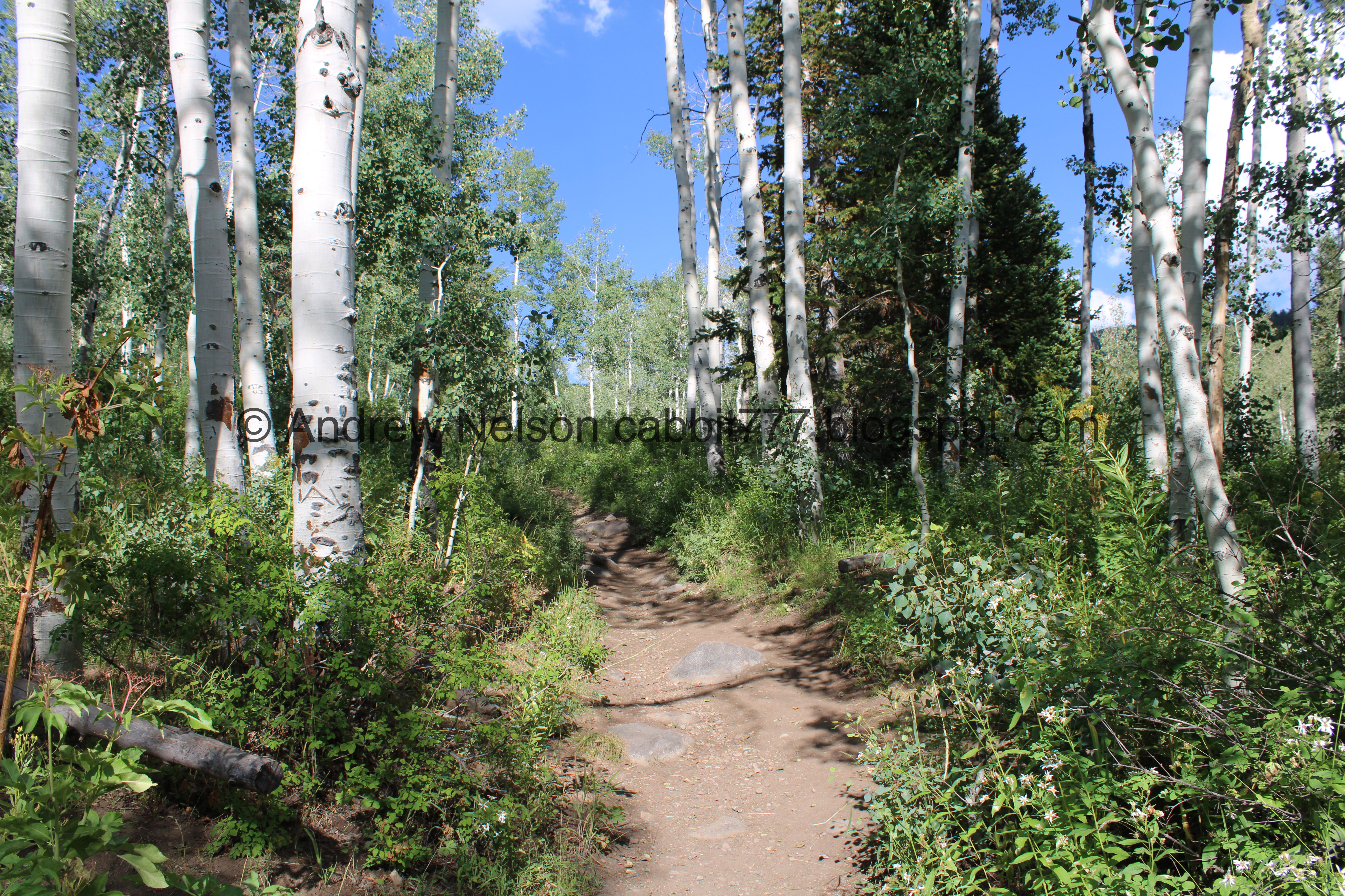
Into the forest!

Geraniums.


Some daisy like flowers.

The original trail to the right, which as you can see they don’t want you to use anymore. Rerouted trail to the left.

Some kind of mint.

Not much further up you will come to the trail split. West fork to the left, and east fork to the right. Like I mentioned, the east fork is easier, but slightly longer. There is also a section that triggers my fear of heights. I can muster through it, but I don’t like it. So we went up the west fork today.

Lower bridge.

Little waterfall above it. I was kind of surprised to see the creek still running, considering how low Big Cottonwood Creek is right now.

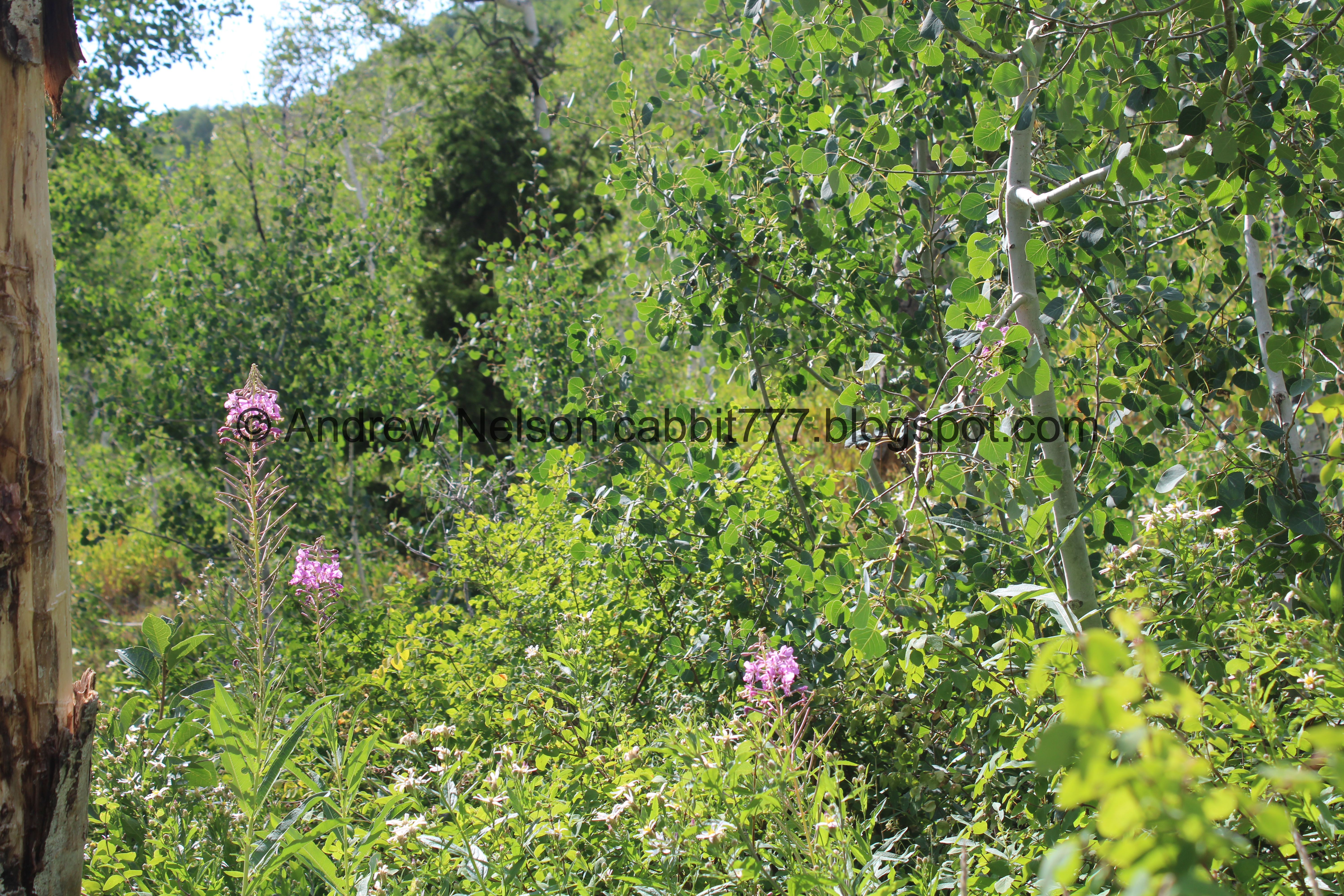
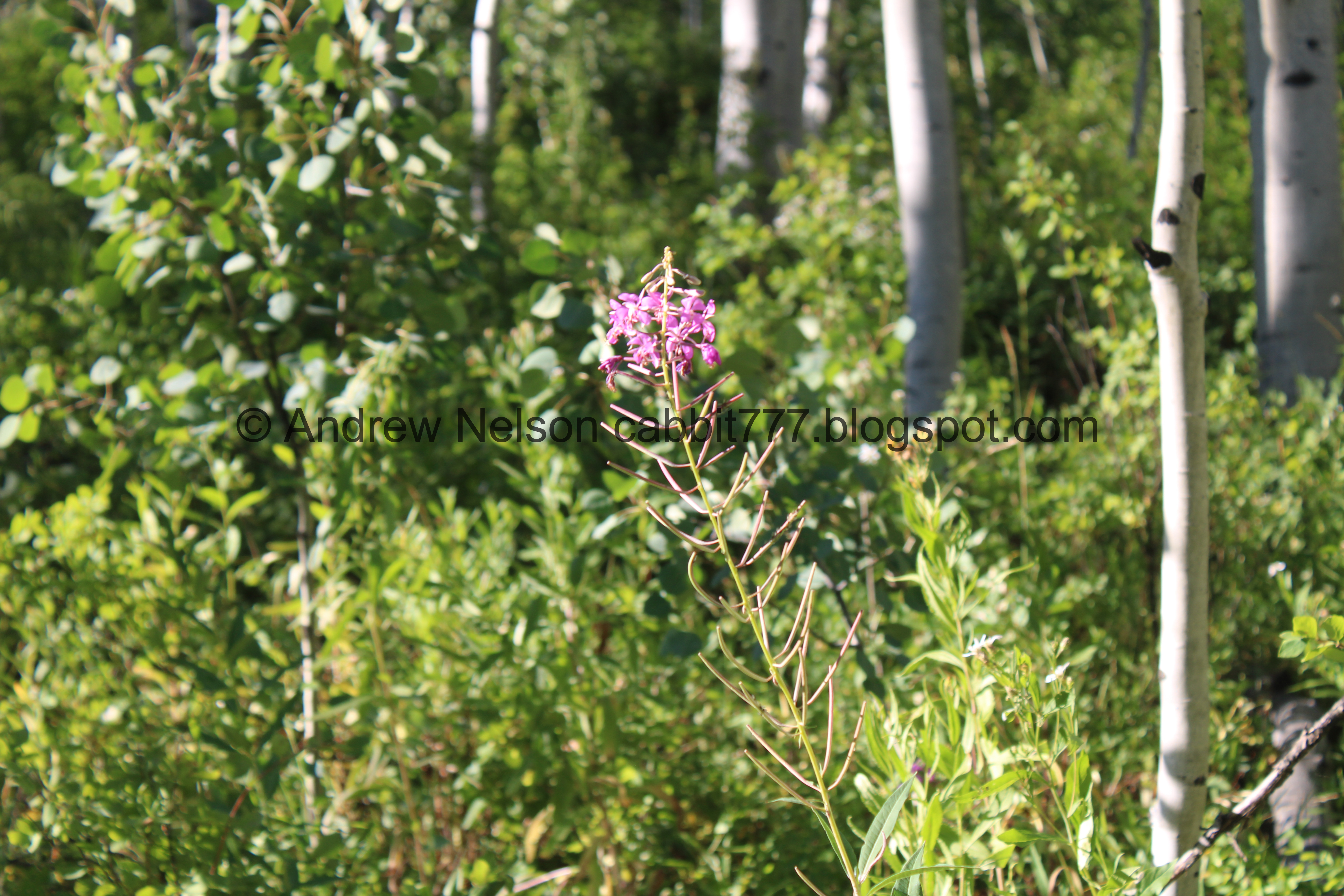
Fireweed. I love these guys!

Aspens.

Silver Fork on the other side of the canyon.

Paintbrush.

Where the trail joins the old access road. You want to hang right here, and keep going uphill. If you decide to come down this way, keep an eye out for this little sign, after the 2nd switchback next to the creek. If you miss it, you will end up in a random neighborhood, and will need to walk back up Big Cottonwood Road to the TH.

Sulphur flowers.

More aspens.

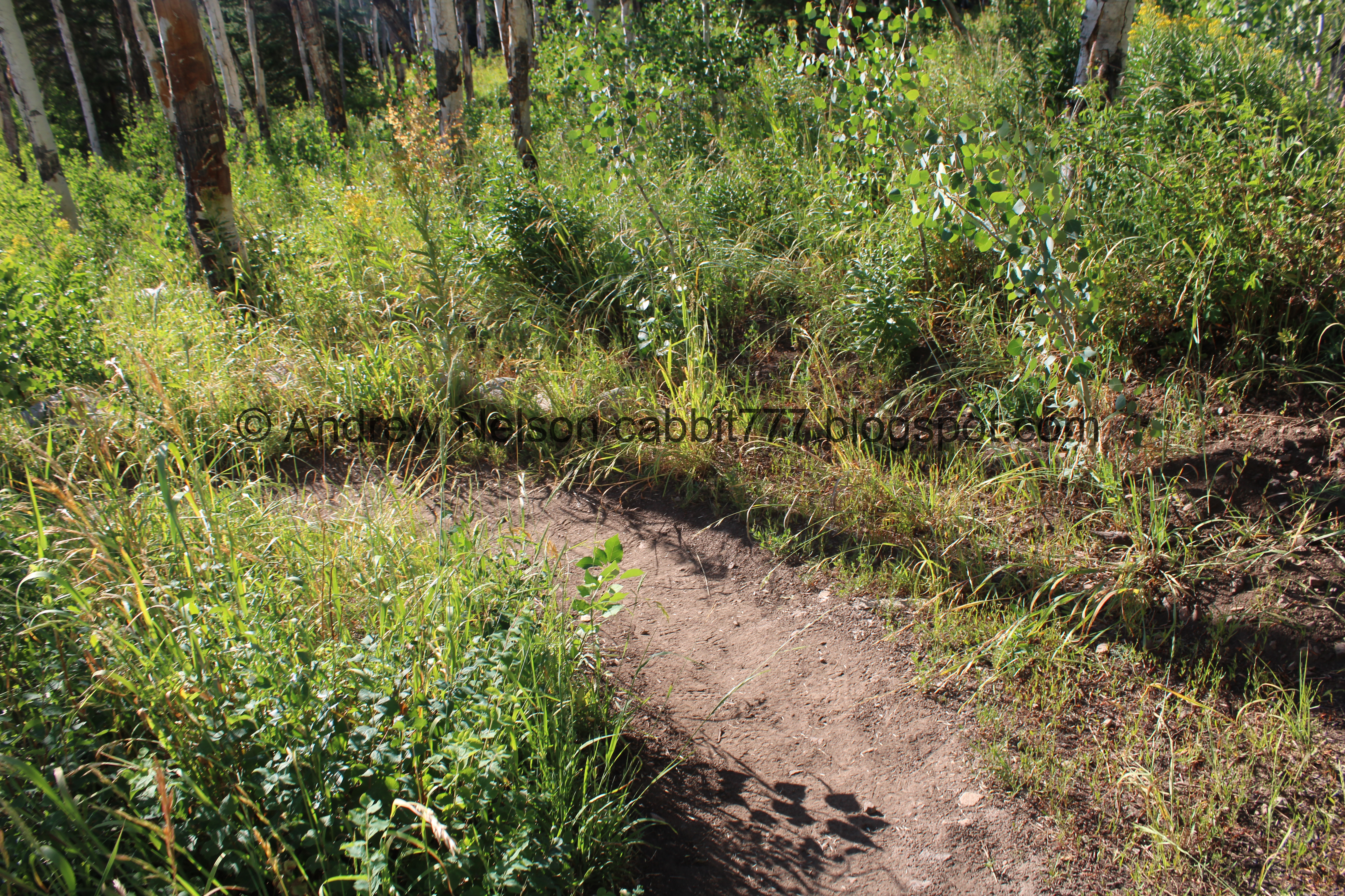
The trail is quite overgrown this time of the year. Oof.

Paintbrush.

A lot of these big white daisy like flowers are kind of sad looking.

I think these are arnica.

The first switchback is a little gentle curve. It also passes next to the creek.

Some geranium leaves getting a jump on autumn.

This switchback is a little steeper, and rockier.

Some other leaves getting a jump on autumn.

Skyrocket. We have seen way more white ones than red ones this year, which is kind of odd.

Paintbrush.

The 2nd switchback is another wide lazy arc.

Big ol wasps nest.


More leaves getting a jump on autumn.

This switchback offers a nice break from the climb for a minute.

Silver Fork again.

Enjoying the break from the climb.

This side of the trail has a couple rerouted parts.


More tall white daisy like flowers.

The 3rd switchback. 2nd one next to the creek.


Fireweeds.
Little patch of them.

The 4th switchback is at the top of the rerouted trail. And we are back to the climb. Oi.

Different daisy like flowers.

Trees and clouds.

Western coneflower.
More of the climb.

Lupine.

Tall yellow flowers.

More daisy like flowers.


Paintbrush.

Big mess of fallen trees. Yikes.


Geraniums.


Paintbrush.

The little clearing. This means you are getting close!

Geraniums with beetles.

Shorter trail reroute.


Monkshood.

The upper bridge.

Downstream.

Monkshood.

Lots of monkshood.


Monkshood.

Aspens.

Looking up.

Paintbrush.

Looking up again.

More forest.

The big clearing. This really means you are almost there.
.jpg)
Panoramic.

View across the canyon.

Earlier in the year there is a little pond here, however it dries up this late in the year and all that is left is a ring of plants.

At about 9/10ths of a mile we reach the crossroads. You can go either way, however I always prefer to go to the left as there is a better view of the lake, and a small beach that way. So if you just want to get to the lake, that is the way to go, right gets there too, but the lake is obscured by the trees and stuff. However, if you plan to go all the way around, it really doesn’t matter which way you go.

More forest.

More geraniums getting a jump on autumn.

One of the many cone shaped peaks up here that I love.

Paintbrush.

Fireweeds.

Another.

First view of the lake. Normally we are able to get down and get a proper view, but the lake seems to be a bit high right now.

Fireweed.

Another.

Little log bridge to cross over the stream again. This is the best shot I got due to a large, obnoxious family coming down. But, it is pretty sturdy. I am surprised they have yet to put in an actual bridge here. The other bridges came with the trail reroutes.

Geraniums.

Oh boy. It is awfully overgrown through here.

Geraniums.

Willow Lake!

Sunning ducks.

The lake again.
.jpg)
Panoramic.

The sunning ducks again.

The lake again.

From a little further back.

Different angle.
.jpg)
Another panoramic.
We decided to walk around the lake. We put all the effort into getting up here, we might as well enjoy our time up here.


Geraniums.

Pretty sure this is a squirrel den.

The back end of the lake with the peaks on the other side of the canyon.

Potgut squirrel.

Little yellow flowers.

Heading towards the woods. Because there is a large swampy area behind the lake, the trail “around the lake” goes back a little further than you might expect.

Said swampy area. Earlier in the year this is completely under water.

Corn lilies that haven’t bloomed yet.

Into the woods!

Geranium.

A big white daisy like flower.

Monkshood.

Lots of it.

Western coneflower.

Earlier in the year this part is completely swamped with a couple springs flowing here. However, they eventually dry up.


Monkshood.

Some kind of pea.

Giant mushrooms.

Pretty aspen forest.

The trail is quite overgrown back here. Oh boy. But it is still easy enough to follow.

A glimpse of the lake through the trees.

Random berries.

Looking up.

Yellow flowers.

2 of several downed trees you have to make your way over.

More aspens.

Larkspur.

A purple larkspur, with a coneflower.

A pair of butterflies.

Overgrown trail again.


Larkspur.

Dry stream bed. Earlier in the year we have seen this flowing.

Aspens.

Overgrown trail. I kind of wish I had worn pants instead of shorts for this one today.

Larkspur.

More forest.


Paintbrush.

Purple larkspur.

Nice backlighting.

Larkspur.

Lots of them.

Western coneflower.

Geraniums.

More berries.

Monkshood.

Aspens.

White flowers.

Cone shaped peaks.

A pair of hummingbirds, playing, fighting, or flirting.

One of the hummingbirds chilling.

Cone shaped peak.

The hummingbird again.

Geraniums.

It is hard to see the lake from this side with all the foliage. Which is why I usually go around the way I do.

With the peaks above.

Back to the big clearing.

Wonky aspens.

Back to the crossroads. Woo! We decided to head down the east fork today. I tend to do better with my fear of heights on the way down than I do on the way up. So, I thought we would give it another try. It was a little better, but I still didn't like it.

The little dried up pond below.
.jpg)
Panoramic of the big clearing.

Sulphur flower.

Silver Fork across the canyon.
.jpg)
Another panoramic.

The dried up little pond.

Another cone shaped peak.

Back into the forest. Oh boy, the trail looks a little overgrown here too.

Geraniums.

More big white daisy like flowers.

Interesting. They appear to start out purple.


Pretty forest.

Looking up.

I’m not sure if you can call this one a switch back, but it does curve you down a slightly different direction.


More forest.
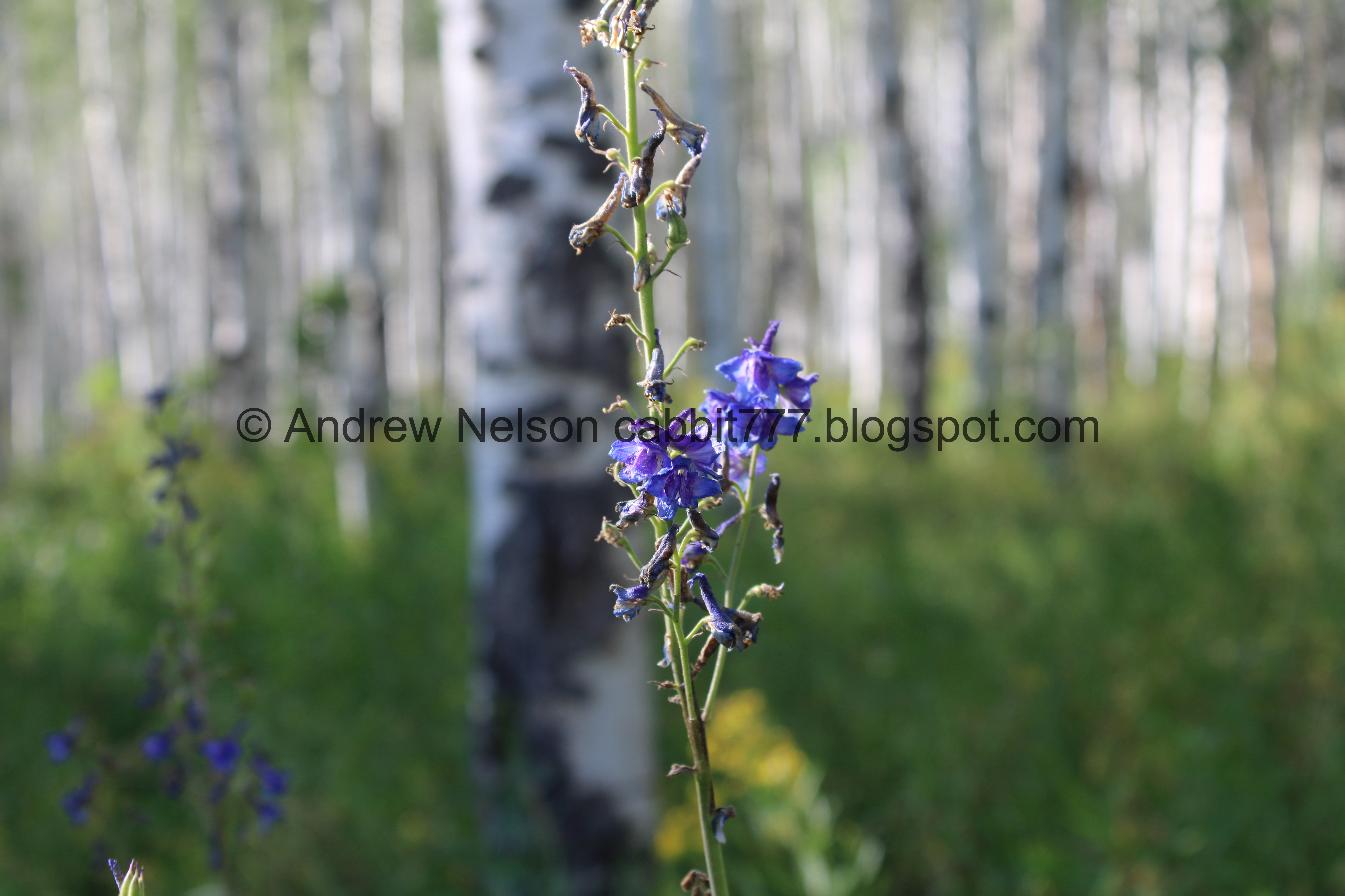
A sad larkspur. I was a little surprised to see the flowers on this side were fewer and farther between.

The first real switchback.

More forest.

The rerouted east fork follows the original trail a bit more closely, and you can see where the new switchbacks cross it, and how they are preventing people from using the old trail in hopes to restore it.

Uphill part.
The second real switchback.

More forest.

Silver Fork again.

Some of the ski lifts at Solitude.

Some arnica.

Some lupine going to seed.

The last major switchback, this is the part of the trail that triggers my fear of heights. It was a little better on the way down, but I still didn’t like it. I might just have to accept that the west fork is the trail that I use.

It’s not even too bad. But there is no reasoning with lizard brain. I think a lot of it has to do with hearing the road directly below.

Still a little iffy for me. I don’t like thinner trails along steep slopes.

Lupine.

A very sad fireweed.

Before long the side slope mellows out a little bit, and I am finally more comfortable on the trail. Like I said, it was a little better on the way down than it is on the way up. The only explanation I have for that is I am not huffing and puffing on the way down, but I don’t know for sure.

Another sad fireweed.


More forest.

Passing by the old trail again.

More forest.
Another fireweed.

Down to where the east fork and west fork meet. Left will get us back down to the trailhead. Forward will head back up the west fork.

The creek.


More forest.

Almost back down to the road.

Another fireweed.

Thistle.

Heading back down the canyon (PSP).

Big patch of fireweeds (PSP).

Deer! (PSP). Thank you for not darting out in front of us! Man, that makes 3 close calls in just a months time! Yikes!
I really do love this trail! Its a nice short, slightly tough hike up to a pretty lake. The wildflowers are fading, but were still nice, and of course I just love the aspen forest. It wasn’t too busy today, just one obnoxious family that needs to teach their kids trail courtesy, but otherwise not too bad. 9 out of 10 squirrels. Removing one for the toughness.
As for difficulty, It is a lot of UP in a short distance. DR4.
Dogs are not allowed due to watershed rules. So be sure to leave Fido home for this one.

No comments:
Post a Comment