.jpg)

Quick Details:
Length: 1 Mile on Legacy Parkway Trail. .6 miles on prospector Rail Trail, about a half mile on the Onion Parkway Tr and then another .2 back on the legacy for a full 2.8 mile balloon trail. Note, you can start at Mill Creek TH and add another 1.2 miles for a full 4 miles
Difficulty: DR2. All paved, and flat.
Elevation Gain: Not enough to register. Couple feet max.
Restroom: Not at either TH.
Dogs? Yes, leashed on all 3 trails. Please clean up after your furry friend.
To Get Here:
Take 1600 N in West Bountiful as far west as it goes. It will end at the Pages Ln TH.
The Trail:

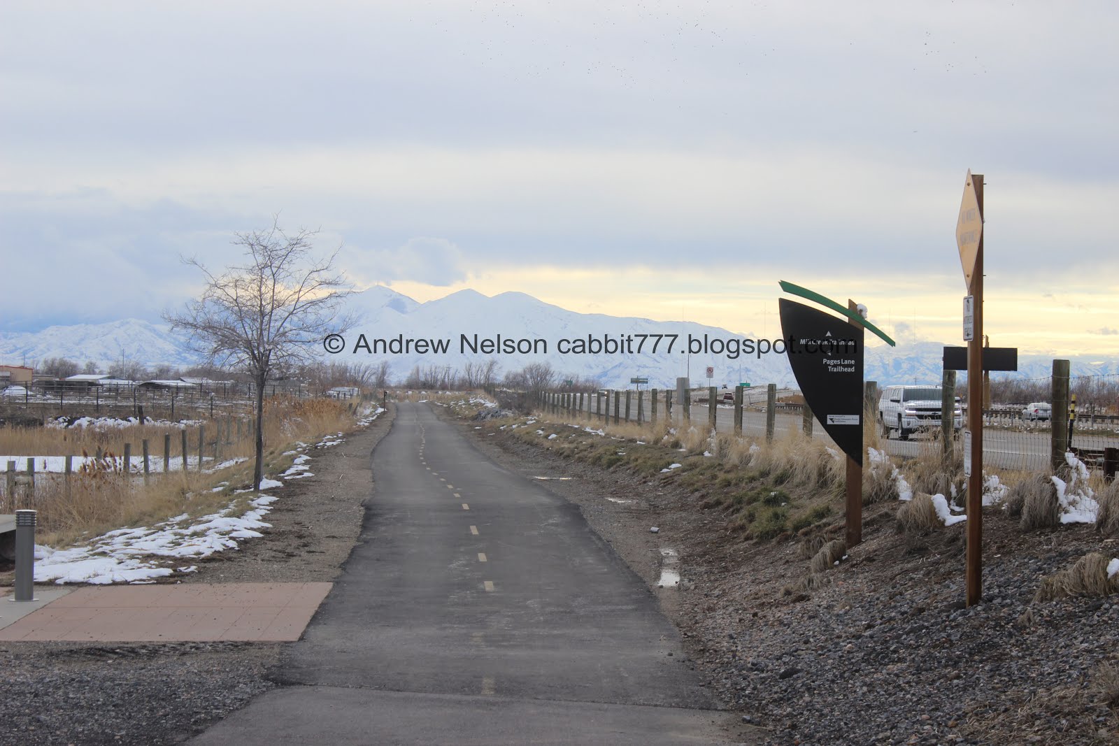
The sign at the Pages Lane Trailhead.

Onto the trail. Like most segments of the trail, it stays fairly close to Legacy Parkway.

Horses.

Kind of hard to see, but tons of crows and seagulls hanging around the Bountiful Landfill.

The mountains are looking lovely today.

The blackbirds have completely overtaken this tree.

Little creek, probably a canal.


Deuel Creek, Stone Creek and Barton Creek are all combined into this canal. I'm not 100% sure, but I think Barton Creek might be another name for Holbrook Creek.
Last time we did this segment we took the Onion Parkway there to the left back and made a loop. Today we will come back that way.

More mountains.

6.5 mile marker. The Legacy Parkway Trail has a marker for each half mile. I know the 5.5 one is just south of the Millcreek TH so the 6 must be between that and Pages Lane.

Mountains and clouds.

Wobbley segment.


I think this is a red tailed hawk. We saw one last time we were in the area. Although, considering what we see later, that is a little surprising.


Pretty mountains.

Mile marker 7. We have officially done half of the Legacy Parkway Trail now. Woo!

Which is just before the Birnam Woods Trailhead.

Birnam Woods Trailhead sign. BTW, there are no woods here. I've noticed a lot of neighborhoods around here are named after was was destroyed to make room for said neighborhood. It's a little sad really.
We could see the exit sign for Parrish Lane on the parkway so figured that trailhead wasn’t much further and decided to keep going. However, we made a wrong turn. I did not include this in the mileage I posted in the Quick Details above.

The signage along the parkway trail is usually pretty good, but they are missing one here. We went left, but I guess the Parrish Lane TH is right. Meh. Doesn't look like there's much to it, just a spur to connect the neighborhood that way to the trail.

Long tunnel under Legacy Parkway.

Cows in the Legacy Preserve.

Antelope Island.

7.5 mile marker.
From what I can tell, the Legacy Parkway Trail shares this segment of the Denver and Rio Grand Western Rail Trail. We have done a short bit of that when we did the Farmington Creek Fairgrounds Trail.
Well, we reached Parrish Lane and it looks like we could have made it back under Legacy Parkway, but that involved crossing the on ramp with no crosswalk. We decided not to do that and just went back the way we came. we added about 3500 feet out and back with the extra leg.

Back to the tunnel.

Back to the 4 way trail split. I guess this segment of the Denver and Rio Grand Rail Trail (AKA Rails to Trails Trail) is called the Prospector Rail Trail. That is only slightly confusing. You may have noticed a theme between all the names though. This was a railroad that was decommissioned and was turned into a trail.

Like the parkway trail it is paved, and flat.

This trail does cross a couple streets though.

West Bountiful trail sign.

This trail is through a neighborhood, that has a few farms along the way, and every other house had chickens. Here is the Lazy A Barn. I thought that was kind of silly.

More horses.

We have reached the Onion Parkway Trail. we still have not been east from here, maybe we’ll check it out some time, but to make the loop back to where we parked, right will get us back. You could make a full loop by continuing on to Pages Lane, but then that last bit will just be on the sidewalk next to the road.

Onion Parkway Trail.

Deuel, Barton and Stone Creeks. Shallow and clear.

There used to be a lot of trees in there, but it looks like they tore them all out, save for this one, for a new development. Oddly enough, I imagine the reason they left this one (next to the paved trail) will be a problem eventually. But, you know, developers know best!

Meh. This trail wasn’t terribly exciting to begin with but now it’s just meh. Once the houses go in it really won’t be very enjoyable at all.

The empty lot again. At least right now we can see the mountains.

Curious horse.

Back to the legacy Parkway Trail.

I love solar halos. I see them fairly often, but this is the first time I had a convenient cloud covering the sun. Solar, and lunar halos often indicate a storm is on the way. And yes, we do have a storm coming tomorrow.

Crows and seagulls above the landfill again.
Back to the trailhead. Again, love the mostly adequate signage, but would love to see mileage added.
Meh, this section of the Legacy Parkway was not my favorite. But I did enjoy the view of the mountains along the way. Going with 5 squirrels. As for the Prospector Rail Trail that one was pretty much the same, but between houses. 4 squirrels there.
Looking at the next segment, there appears to be a large gap between trailheads. I might have to split that one into 2 parts.
Dogs are allowed, leashed. Please clean up after your furry friend.

No comments:
Post a Comment