Butterfield Canyon is a small canyon next to the Kennecott Copper Mine in Herriman. The canyon is pretty and features a stream as well as a pretty up close view of the tailings around the copper pit which are quite a bit more colorful than I realized. From November to June the canyon is closed to vehicle traffic. I typically reserve these types of roads for when we have a ton of snow but I couldn’t think of anything else to do so we came here.
Quick Details:
Length: Looks like it is 7 miles to Butterfield Pass. We only did 2, or 4 out and back.
Trail Type: Paved road. Out and back.
Difficulty: DR3. What we did today was really easy.
Elevation Gain: We did 436.
Restroom: None
Dogs? Not sure, but there were no signs banning them.
To Get Here:
Take Bacchus Hwy all the way south to the end. It will appear to take a sharp left onto 13055 S. But you will want to turn right here. Go up to the winter gate and find a parking spot. I found it to be pretty strait forward to take 90th south out west to Bacchus. But if you are coming from further south Bangerter to 126th south might be a better option, head west, then turn left on Main Street. Main street will eventually become 13055 S. So take it to the winter gate.
The Kennecott Copper Mine (Passenger Seat Photography (PSP)).
Again (PSP). There currently is not a whole lot of civilization out the way. However the west end of the valley has been exploding lately, so I can't imagine it will stay this way for too long.
You know, this is the closest I have ever been to the mine (PSP).
It’s a lot more colorful than I thought it was (PSP).
The Trail:
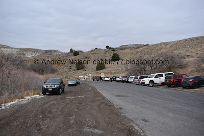
Parking outside the winter gate.
The winter gate and information signs.
Into the canyon.
Wow! Such a colorful tailings pile.
A little closer. It is a little bit unnerving to be walking next to and below a 3/4 mile deep pit.
Butterfield Creek.
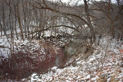
In a deeper gulch.
The road is a very mild climb for the part we did.
The mine tailings again.
Colorful willows.
The tailings again.
Little bit of color left.
Looks like a mess of deer trails.
Tailings again.
Fun fact, this mine grew so big it ate an entire town. Lark was dismantled in 1978.
Looking back down. I believe that is Grandeur Peak, Mount Olympus, and Twin Peaks.
I took a lot of pictures of the mine tailings. I mean, they are visible through much of the way up.
Interesting rock formation.
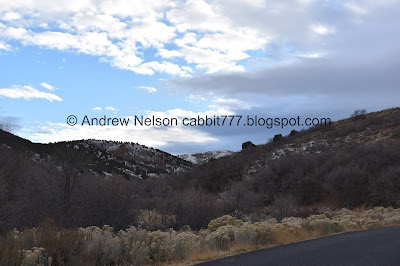
Looking up canyon.
Probably just a pile of rocks, but they look like little hoodoos.
Looking up again.
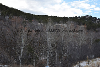
Aspens.
The tailings pile again.
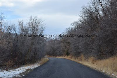
The road again.
Scrub oak.
The creek again.
Up canyon again.
More tailings.
Panoramic.
The other pile.
Cloud layers.
The road again.
More scrub oak. I bet this canyon is pretty with prime fall color.
Looking up canyon.
Fun clouds.
Some more color hanging on.
Pretty peaks.
Well, we made it to 2 miles, and considering the much, much shorter days we decided this would be our turn around point for the day.
The pretty peak again.
Heading back down.
I love these this time of year. I figured out this is called teasel and its quite pretty when in bloom. Unfortunately I have never seen one in bloom.
The creek again.
There are quite a few pullouts like this that made me a little confused, considering you aren’t supposed to leave the road. However, on further thought they do offer good spots to take pictures.
I liked this section.
Looking up.
More scrub oak.
Pretty hill.
Looking down canyon.
Tailings again.
Aspens.
Tailings. Super colorful.
Storm clouds.
Leftover fall color and colorful tailings.
Little meadow.
Back down to the neat rock formation.
The other tailings pile.
Closer to the rock formation.
The creek.
Some nice sunset.
A little bit of it touching the clouds to the east even.
More tailings.
Moody forest.
Mountains to the east.
The creek again.
Moody.
Back down to the trailhead.
More mountains. I know that is Timpanogos to the right, but I am going back and forth between that being Mount Jordan or Cascade Peak. I am leaning towards Mount Jordan blocking Cascade peak but, not sure.
Last of the sunset.
I am super glad we came out to explore this canyon. It is fairly pretty and offers some nice views. It was not too busy today, and was wide enough that I felt safely distanced from other people. Now I want to check out driving up and over the pass because we haven't done that yet. Going with 8 out of 10 squirrels today.
As for difficulty, it is paved. and the section we did was barely a climb. Going with DR2.
Dogs, well, there are no signs barring them so I suppose they are allowed. Not sure what the leash rules are though.
.jpg)












No comments:
Post a Comment