.jpg)
Parleys Historic Nature Park is a large park located in Salt Lake City. It is a mostly off-leash dog park that features a creek, 2 wading areas (for humans and dogs alike) a little bit of history, and some nice wooded trails. Now, there is no official “out side loop” trail. We used the main trail, then the south side trail, back on the main trail, then up to to Parley’s Trail and back. Which created a loop that mostly went all the way around the park. This area is also known as Tanner Park, which is the name of the adjacent city park. I am not sure if at one point the entire area was named Tanner Park, or if this section got renamed at some point, or likely since the access is from Tanner Park that it just what it became known as.
The weather is supposed to be nasty all weekend so when I noticed it was kind of nice, with low chances of rain I decided we should take advantage of it! And if I get another window tomorrow, I might take advantage of that as well.

Quick Details:
Length: About a 2.2 mile loop.
Trail Type: Loop
Difficulty: DR3 little bit of a climb, but not too bad.
Elevation Gain: About 300 feet.
Restroom: There is one in the adjacent Tanner Park, but I don’t know if it is open in winter.
Dogs? Yes, with plenty of off-leash space. NOTE: There is a temporary hiatus on off-leash areas. Be sure to check the map to ensure you stay on correct trails for that. NOTE: I did a section that dogs are not allowed in, but you can bypass that.
Other Info: This trail starts at the top, which means you return uphill. It’s not a terrible climb though.
To Get Here:
If coming from the west, take i80 to exit 127, 2300 east. Take the 3rd exit from the traffic circle towards 2760 South. Take the 2nd exit in the next traffic circle to get on 2760 South. Go approximately 4/10th of a mile and park at the upper parking lot for Tanner Park. You can park at the lower one too, but upper is closer.
Note: They have added fencing that makes it more awkward to get to it from here. The easiest option now is to walk about 62 feet east along 2760 S. and turn left on 2700 E. The TH is then about 110 feet down.

Some low hanging clouds obscuring the top of Mount Olympus (Passenger Seat Photography (PSP)).
The Trail:

Trailhead kiosk. Look at all the random items people have lost!

This is why I came out here today! I had heard about a herd of elk hanging out here. We’ve seen plenty of elk, but I still love a chance to see them. Spoiler, we did not see any elk today.
It looked like most people were following the temporary leash required law, but still a staggering amount of people that seem to think it doesn’t apply to them.

Heading down into the canyon.
Again.

Decent view of Grandeur Peak.

Nearing the bottom.

Towards the bottom you will see this gated turn off to the South Trail. As you can see, dogs are not allowed in this area. If you brought your dog(s) you can continue along the main trail and the mileage should be similar.

We’ve never done this section before. It’s a little less traveled but still traveled enough to easily follow along.

It is a nice heavily wooded part. We both agreed it would likely be very pretty in summer and fall.

The woods.

Some damaged trees.

We were both a little confused at what these structures were.

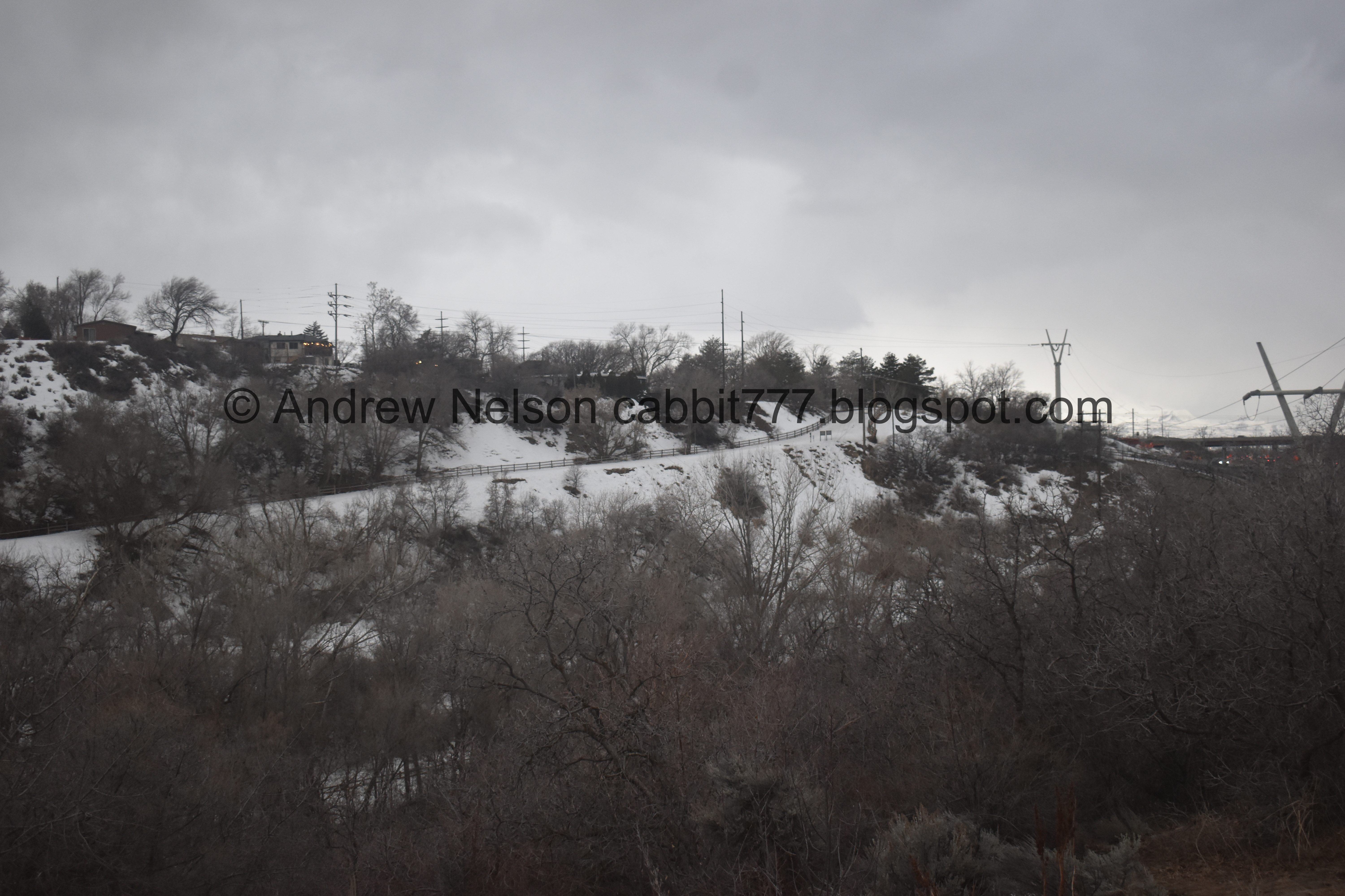
The trail follows along this fence for a bit.

Random flag.

More of the seemingly random structures and something I remember seeing on the map struck me. This is the Tanner BMX Trails!

There seems to be quite a lot of them packed together. But I am not a bike stunt guy so what do I know? But, neat anyway.

Spring.

Back towards the BMX Trails.

Wow, these were established in 1997, and the area is considered expert level.

Another spring. This one has a bridge.

Upstream.

Downstream.

Gnarly tree.

The trail.

There appeared to be a trail split. Left head back to the main trail, right continues on the south side trail. I decided to stay on the south side trail and check it out.

Grandeur Peak again.

Tree tunnel.

Leaves melting down into the snow.

The trail started to steeply climb along this ridge. There is a reason we aren’t in the mountains right now, avalanche conditions are considerable. So, we decided to turn back. From what I can tell it goes for another ~half mile or so to a little loop and then you would have to come back. We might come back and check it out when there is less snow.

Back through the tree tunnel.

One of the hill tops.

Back down to the trail split. That was only about a 1/10th of a mile detour (which I did not add to the total mileage today).

Neat bridge over Parleys Creek.

Downstream. I just learned that part of the creek was daylighted in this park. Meaning it was once tunneled underground but has been restored. Another section of this creek was recently daylighted as well at the 3 Creeks Confluence.

Upstream.

Joining the main trail.

Looking back at the bridge.

The snow is up to the bottom of this bench.

Narrow corridor.

The creek.

Bridge over the output of Mary’s Spring.

Mary’s Spring.

Icy trail under Grandeur Peak.

The creek again.

Good mix of ice and slush.

Another gnarly tree.

Before long we reached the east end of the park where this pipe delivers Parleys Creek from under i80. I’ve mentioned it before, but locals like to ride down the pipe from the Suicide Rock area. Yeah, NOPE.

Looks like a construction sign blew down from the freeway.

Woo, the creek is really gushing right now.

Another flag.

I can’t say I have ever seen a dipper.

This is one of the designated wading areas. As the sign says, pay attention to the creek levels. Sadly several dogs have been washed downstream from here during run off.

Back to the gnarly tree.

We decided to see if this trail would take us up to Parleys Trail in order to take that back, thankfully it did.

In July 1850 Parley J Pratt opened the road through Parleys Canyon and charged a toll for his efforts. The route was a lot easier than Big and Little Cottonwood Canyons, and Emigration Canyon.
Nowadays, it is my absolute least favorite route over the mountains. It is way too windy for the speeds and my mom thinks it wasn’t graded right, which I agree with, It makes me sick.

Connecting to Parleys Trail.

Parleys Trail. This paved commuter trail goes from the Bonneville Shoreline Trail at the mouth of Parleys Canyon and 8 miles all the way down to the Jordan River Parkway. That final section from 9th west to the Jordan River Parkway is expected to be completed June 2023!

Oh boy. Those clouds are looking a little moody. We managed to make it back with only getting a few sprinkles.

Another spring.

Signs for Dudler’s Inn and Dudler’s Wine Cellar.

The foundation and wine cellar are all that remain.

The wine cellar.

Crumbling wall.

Random pipe.

Old aqueduct. This is all that remains of an old aqueduct from a no longer existing reservoir at Suicide Rock that used to deliver drinking water to residents.

Looking across the park.

More moody clouds.

Looking back at the low clouds obscuring the top of Mount Olympus.

Grandeur Peak, Mill Creek Canyon and Mount Olympus.

The first flag again.

Little peek of the Salt Lake valley.

Looking back at the mountains again.

Mount Olympus.
Looking across the canyon towards where we started.

No elk, but we did find a bunny!

Doing bunny things.

Caught him looking back at me. I don’t know if it is the lighting or what, but this kind of more looks like a pet bunny than a wild bunny.

Finally decided to pull out the telephoto lens.


Looking at rabbits and hares of Utah, I think this might be a pygmy rabbit due to the short ears and short limbs. However, quite a few of these look pretty similar so don’t take my word here.

Sure is a cute little stinker.

Well that is not at all worrying.

Cement slabs from the freeway.

Awww.

Final section.

The southern trail across the canyon.

Where Parleys Creek goes under i80.

Looking back at Grandeur Peak and Mill Creek Canyon.

With more of Parleys Creek.

Short section that is awfully close to i80. o.O

Trail marker for 2700 east.

Last bit on Parleys Trail. There is a turn of at those signs to get back to the parking lot.

Then we just have to make our way up this small hill to the parking lot.
Well, I am sad we didn’t see the elk herd, but ultimately, this was a good winter loop to do. The loop we did kept us away from the majority of the crowds in the very popular park. So that was a nice bonus. Plus, I love the bits of history too. 8 out of 10 squirrels today.
As for difficulty, it was pretty easy going, little bit of a climb. I think I might return the way we did going forward as it was a little easier than the main trail. DR3.
Dogs are allowed, except for the South Trail (which can be bypassed). They can (normally) be off leash in all other areas we did today except for Parleys Trail where they do need to be leashed. A quick reminder of the temporary hiatus on off leash areas right now due to the elk herd. That will likely extend to late spring the way things have been going. Please remember to clean up after your furry friends!

No comments:
Post a Comment