.jpg)
Rocky Mouth Waterfall is a great trail in Sandy that features a nice forest, wildflowers, and well, a pretty nice waterfall. It is a short trail, but is quite a climb, and is very popular. I have been hiking up the this waterfall since I was a teenager. I would drag anybody that was willing with me up to it. So it’s been kind of interesting to see all the changes it have been through. Safe to say I still do this one often.

Quick Details:
Length: Less than a mile round trip.
Trail Type: Out and back.
Difficulty: DR3. It is a climb, but there are some stairs through the worst parts.
Elevation Gain: About 490 feet.
Restroom: No. There is one south at Hidden Valley Park, or north at Bell Canyon Preservation Trailhead.
Dogs? No. this is above the watershed line.
Other Info:
To Get Here:
Take i15 to 90th south in Sandy. Follow that east to Wasatch Blvd, turn right. Go about 2 miles and you will see the trailhead parking on the left.
The Trail:

Sign for the trailhead.

The first stairs of doom.

Then you have to walk through this neighborhood for a little wile before reaching the old original trailhead.

Rocky Mouth Canyon.

The newer switchbacks that get you up to the Bonneville Shoreline Trail (BST) and heading over towards Big Willow Canyon.

There is a new home being built and they had this on the side. I wonder if they dug it up on site and what it was? I know there was a mine up in the canyon and there are some other mining artifacts scattered around here.

After you go around the curve in the road, you will find the original trailhead on the right. The poor people in the million dollar homes didn’t like people parking on the road. So they made a new trailhead and doubled the length of the trail.

Burdock.

The 2nd stairway of doom.

Almost to the top.

Some arrow leaf balsamroot.

The top, where you get a break from the climb for a bit. Phew!

Phlox.
Around here there is the split off for the BST.

More arrow leaf balsamroot.

The narrow canyon.

Into the forest! Where we can see the creek running high.


Again.

The creek is so high it is running down a good portion of the trail.

The sooner you accept that your feet are going to get wet, the better off you will be.

The cascade below the waterfall.

Again.

Look at that thing gushing!!!
_cleanup.jpeg.jpg)
Unfortunately there was a constant throng of people so I had to accept the fact that I wasn’t going to get a clear shot. Lucky for me though, I have a few tricks up my sleeve.

The cliff walls.
It really is gushing.

It really is a nice waterfall.
Well, it was nice, but it is really crowded today and I was getting irritated with all the clueless, rude people. So we decided to head on back.

The cascade below.

Back down the flooded trail.

Back into the forest.

The creek.

Downstream.

The lower cave. The upper one is a sealed off mine.

The creek again.


Phlox.


Bonus hummingbird moth.

Look at his long ass tongue!

Man they are quick!

Another shot with the long tongue. I guess technically a proboscis.

I think this is the best shot I got of the wings. They are flapping so rapidly.
I am thinking this might be a white-lined sphinx moth.

Side profile.

I love these guys! It’s always a treat.

A view of the smoky valley below. Yuck! I guess this is smoke drifting down all the way from wildfires in Canada!

Heading down the upper stairs of doom.

Back through the neighborhood.

The lower staircase of doom.
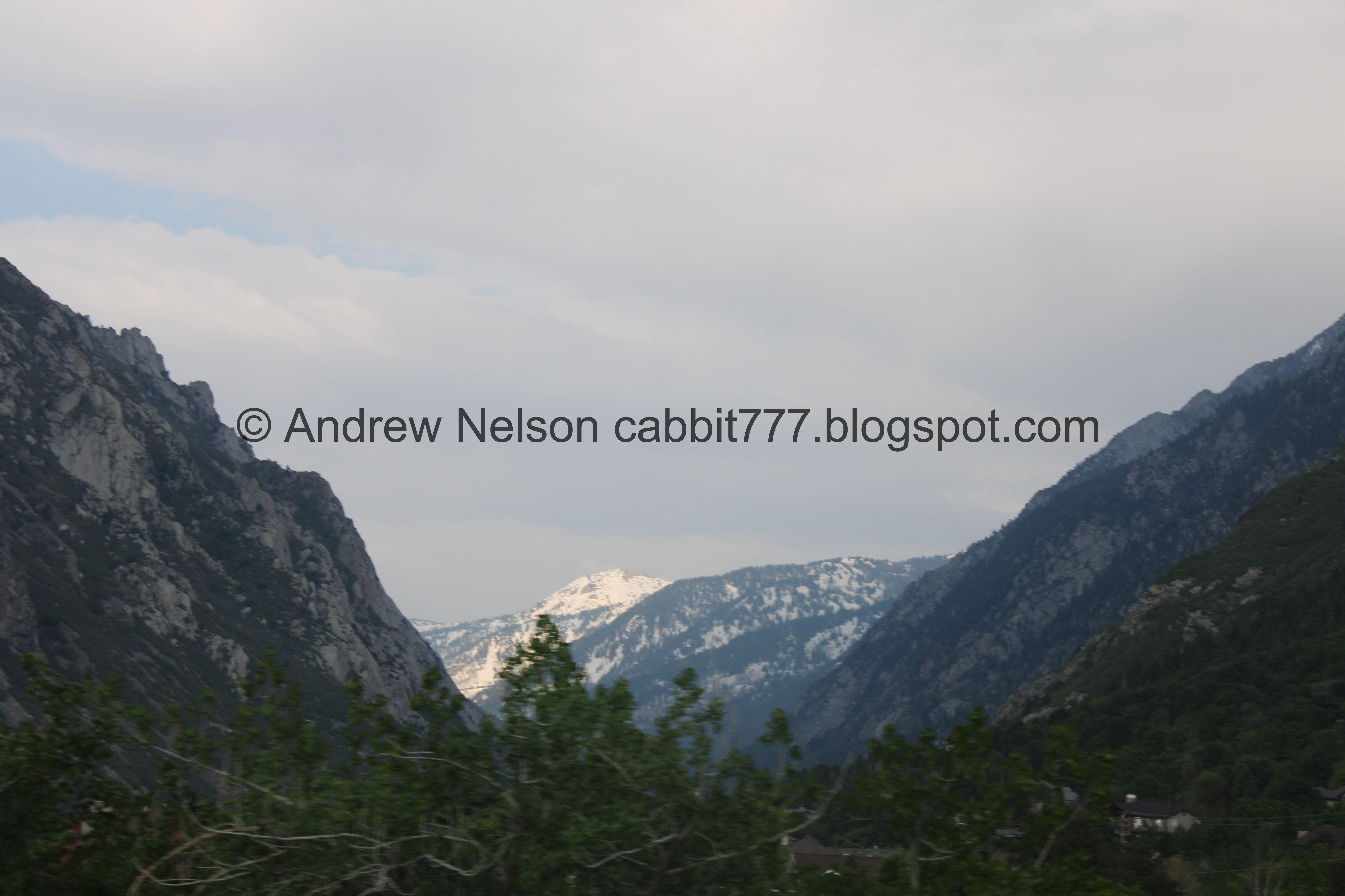
Quick view of Little Cottonwood Canyon on the way home (Passenger Seat Photography (PSP)).
Needless to say I love this trail and waterfall. I particularly like it during run off when it is really flowing good. It was a little busier than I like, and a quite a few people who just don’t understand any courtesy at all. So, I’m going to take a squirrel for that. 9 out 10 squirrels.
As for difficulty, it is short, but it is quite a climb! DR3.
Dogs are not allowed due to watershed restrictions. So be sure to leave Fido at home.

No comments:
Post a Comment