.jpg)

Quick Details:
Length: About 2.7 miles for the full balloon with a spur, or you can do a slightly shorter 2.6 mile out and back.
Trail Type: Balloon with spur or out and back.
Difficulty: DR3. There is some climbing, but overall it’s not so bad.
Elevation Gain: About 500 Ft.
Restroom: There is currently a porta-potty at the TH.
Dogs? Yes, partial off-leash, partial on leash.
Other Info: The loop part of this trail is an off-leash test area. So if you have reactive dogs, you may want to leave them at home for this trail.
To Get Here:
Take exit 288 for 14600 So. Keep left at the fork. Turn right on Traverse Ridge Rd, turn right on Deer Ridge Dr . Take that to the end. You will hike the old dirt road over the chain.

Excellent view of Mount Jordan as we head up Traverse Ridge (Passenger Seat Photography (PSP)).

Potato Hill (PSP). I totally wanted to stop here on the way down, but we were tired of being whipped around by the wind so, another time.

Fun old water tower (PSP).
The Trail:

There are a couple trails here, but you want to take the trail on the other side of this chain.When it isn’t covered in snow it’s a wide dirt road. This first section is leash required for dogs.

Great view of Mount Timpanogos.

Once you pass through this second gate you enter the West Bluff Off-Leash Test Area. Be sure to follow the posted rules, including cleaning up after your dogs. If we all treat the area with respect it may become a permanent off-leash area.

Then we have this shallow gully to climb for a little bit.
You will notice some electrical boxes (top right), fire hydrants and manholes along the way. This area was starting to be developed. But when Draper said they wanted to limit the number of houses and leave more open space the developer threw a hissy fit and pulled out. It’s possible they may resume the project, but it sounds like Draper is still wanting to leave more open space, which is good as it seems to be a deterrent to the developers.

Nice view of the south end of the Salt Lake Valley.

You can also see our destination from down here. It really seems further than a mile from here. However, it is not often the end destination is visible from this early on into the trail so I guess it’s hard to tell.

View into Utah County.

Back to the view of Salt Lake County and you can see that nasty inversion. It looks like the wind is starting to push it up to the north and out of the valley.

The trail is popular enough that the snow is well packed down.

At about 4/10ths of a mile you will come to the first major trail split. The shortest route is to the left, and slightly back tracking here, but it will be a little steeper. Last time we did this trail that is the way we went up, so we decided to stay on the main trail going forward. It seriously is not much longer, and if you plan to do the full loop, like we are, it really doesn't matter in the end, except that it is a little easier to stay forward.

Nice flat section for a minute.

A nice view of the Kennecott Mine.

The next climbing section. It’s not too bad.

Although, it was a bit steeper than I remembered it being. Still not as bad as the other side.

More inversion.

Quick panoramic.


Into another shallow gully.

Looking back down at the inversion.

If you go the route that we did, you do not want this first trail fork on the right (2nd major fork). I think that is the Deer Ridge Connector Trail.

Nice flat section for a minute.

Another look at the peak we are heading towards with the tower on top of it.

This is the trail split we are after. Right heads towards the tower, left will loop back to the first fork I mentioned earlier. If continuing to the peak, this is leaving the Off-Leash Test Area so, leash on.

Mount Jordan with Lone Peak to the east…

Kennecott to the west.

You know you are one the right path as you will see the tower on the peak to the left of it.
A little closer to show you can see the tower.

I like the way this shot of Mount Timpanogos turned out.

Short steep segment. I honestly thought I would need my microspikes here, but didn’t have a problem at all. Still happy I had them in case I did need them though. Rather have and not need them, than need them and not have them.

Fun sky.

Looking back towards Mount Jordan.

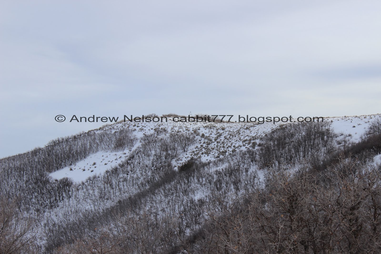
Now that we are up on the ridge the trail shifts eastward and into the scrub oak.

Another steep segment.

Looking west towards the Jordan Narrows.

Out towards Kennecott again. I think you can see Yellow Fork Canyon to the left there.

North view with the inversion.

East towards our destination.

South into Utah County with a great view of Utah Lake.

Little closer view. We haven’t even reached the peak yet and the views in every direction are just incredible!

Another panoramic of the inversion.

Last little bit is a little steep as well, but still didn’t need the micro spikes. The ridge is plenty wide too so no worries about slipping down the mountain side.

Neat clouds.

We made it! Phew!

The first thing I did was go in and get the shot I wanted to last time, but couldn’t. From directly underneath the tower. There is a depression under the middle that was filled with water last time, and was uh…. very, very crowded with wasps. But it was frozen over and the wasps have gone away for the winter so I was able to get it this time.

View of Utah Valley to the South.

The Oquirrh Mountains to the west.

The Salt Lake Valley to the north.

Mount Jordan and Box Elder Peak to the East.

360 Degree panoramic, which kind of looks weird.

The inversion. I think the southern wind has blown it all towards the north end of the valley, which means hopefully it is blowing it all out of the valley entirely.

Lovely view of Utah Lake.

Mount Timpanogos and American Fork Canyon.

Dry Creek Canyon. There is a great hike up to Horsetail Falls up there.

Mount Jordan again.
See what I mean, absolutely incredible view no matter which direction you look up here. I love it.

Alien Tower again.

The Salt Lake County inversion again.

Another panoramic.
I could have spent more time enjoying all of the views this peak offers, but the wind was really whipping us about so we decided it was time to head back.

Heading down the ridge.

Fun skies.

A couple additional peaks you can climb while in the area. the trail to Alien Tower passes by the closest one and it doesn’t look like it would add too much.

Down into the Jordan Narrows.

Utah Lake again.

More inversion.

Lower, unnamed peak.

The trail up to it. I wanted to add that to the hike today, but the wind was really nasty so we decided maybe next time. Judging by the topographical map this one is about 6560~ feet high.

Mount Jordan again.

Back down to the loop. We decided to complete the loop by heading right and continuing around counter clockwise.
If you so desire, you can take your dog off-leash again once you pass that sign.

Seeing some blue skies.

At the top (elevation wise) of the loop.

The downward section offers a nice view of Mount Jordan.

Sage and snow.

The funk below.

Another panoramic.

The split to head back down is kind of hard to spot, but don’t worry. If you miss it, the trail forward will dead-end not too much further along.

Heading down.

Scrub oak.

Mount Jordan with some blue skies.

Mount Jordan, Box Elder Peak, and Mount Timpanogos.

More funk.

Almost down to the end of the loop.

More pretty blue skies.

Looking back at the peak we just came from.

The Salt Lake Valley.

The Utah Valley.

Leaving the West Bluff Off-Leash Test Area. Dogs must be leashed after the fence.

The neat water tower again on the way back home (PSP).

Passing by Potato Hill (PSP).

You can see The Loveland Living Planet Aquarium’s new ‘claw’ exhibit they are building from up here (PSP). I guess it used to be U2’s stage. Kind of excited to see what they end up doing with it.
I really, really enjoy this trail! It offers absolutely incredible views for almost the entire way. the tower is pretty neat as well. It’s also not terribly busy either. This may not be a good option in summer as there is not a lot of shade, but it was great in the fall, and great in winter too. We now live a little closer to this trail, and I really enjoy it, so we will probably be doing it fairly often. Anyway, 10 out of 10 squirrels.
As for difficulty, There are a couple of steep parts, but generally not too bad. The entire trail system is very wide, even up on the ridge. DR3.
Dogs are allowed. Off-leash within the West Bluff Off-Leash Test Section (the loop part) and leash-required for the spurs. It is signed fairly well, so it’s easy to stay in compliance.

No comments:
Post a Comment